The best running trails around Champignolles
4.6
(18)
327
runners
30
runs
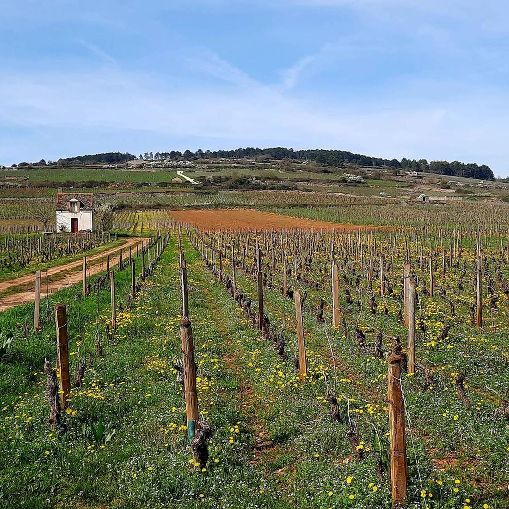
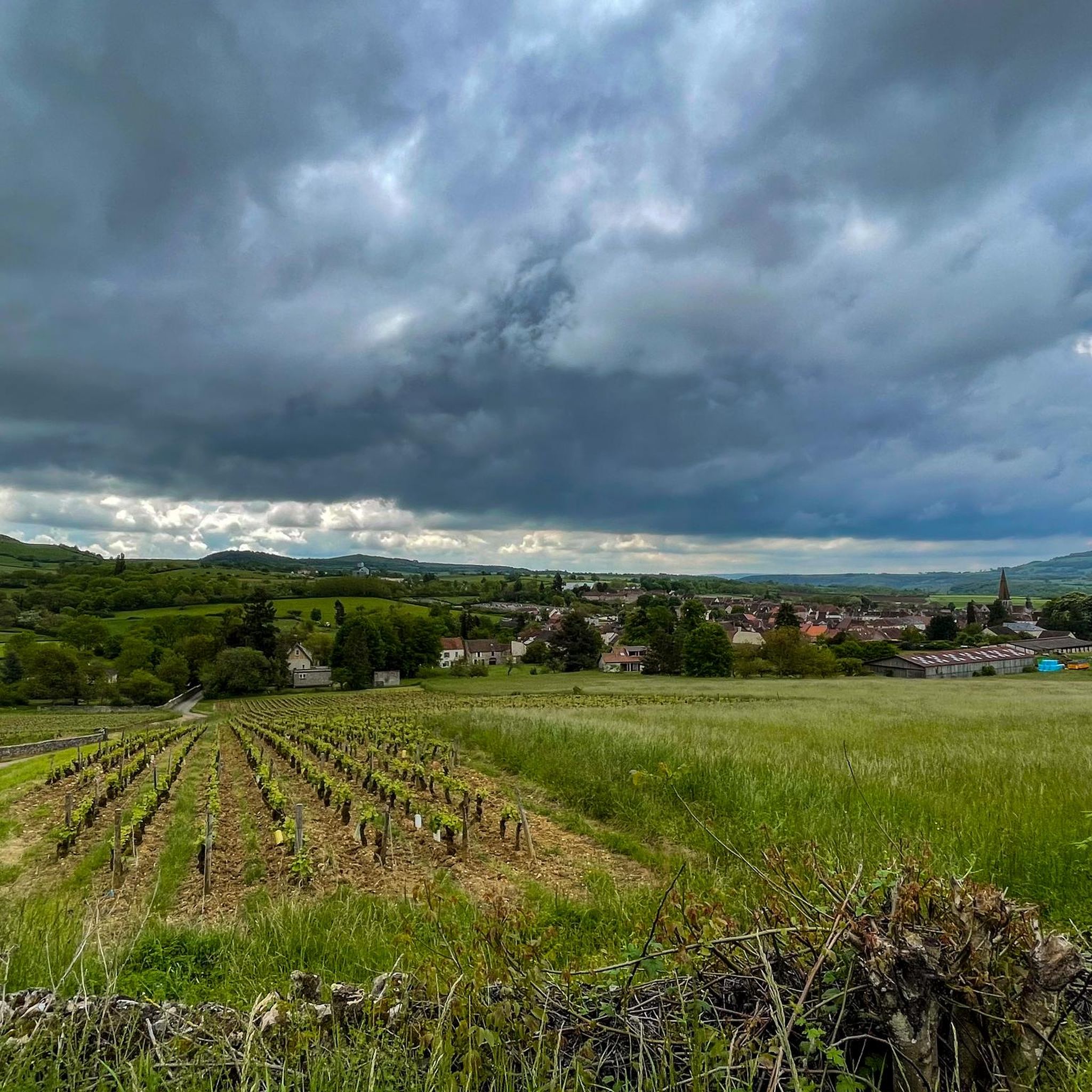
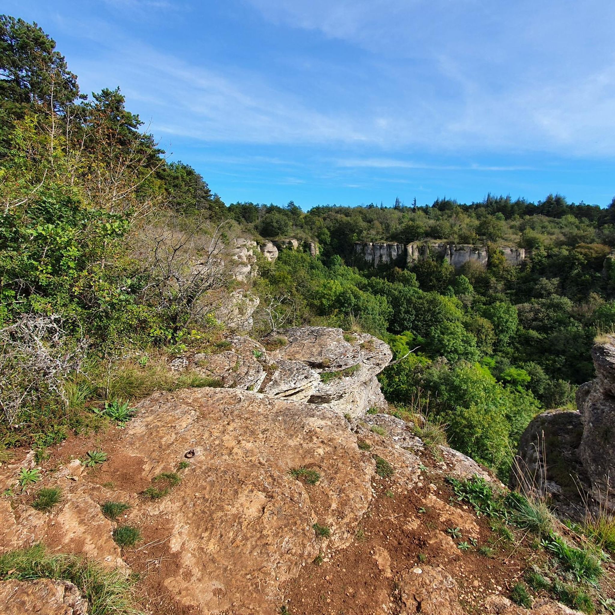
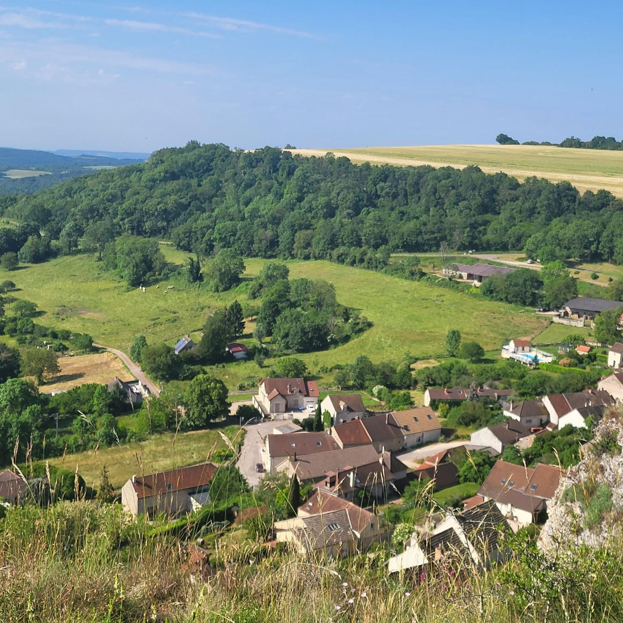
Jogging routes around Champignolles offer access to the natural features of the Bourgogne-Franche-Comté region. The area is characterized by undulating hills and extensive woodlands, providing varied terrain for runners. The river La Corcelles traverses the commune, adding to the landscape. Champignolles is situated near the Morvan Regional Natural Park, a protected area known for its unspoiled countryside.
Best jogging routes around Champignolles
- The most popular jogging route is Les Essards – Buisson Grumeau loop from Val-Mont, a 6.2 miles…
Last updated: July 3, 2026
6
runners
9.90km
01:05
170m
170m
Moderate run. Good fitness required. Mostly paved surfaces. Suitable for all skill levels.
6
runners
11.8km
01:18
200m
200m
Moderate run. Good fitness required. Mostly paved surfaces. Suitable for all skill levels.

Sign up for free
5
runners
12.7km
01:23
190m
190m
Moderate run. Good fitness required. Mostly paved surfaces. Suitable for all skill levels.
3.0
(1)
4
runners
9.25km
01:06
160m
160m
Moderate run. Good fitness required. Mostly paved surfaces. Suitable for all skill levels.
3
runners
10.3km
01:04
70m
70m
Moderate run. Good fitness required. Mostly paved surfaces. Suitable for all skill levels.
Get access to more routes and recommendations from other explorers.
Sign up for free
Already have an account?
Our route recommendations are based on thousands of hikes, rides, and runs completed by other people on komoot.
Start today with a free account
Your next adventure awaits.
Login or Signup
Tips from the Community

magnificent wash house at the foot of the church.
0
0
Frequently Asked Questions
How many running routes are available around Champignolles?
There are over 25 dedicated running routes around Champignolles listed on komoot. These routes cater to various fitness levels, primarily featuring moderate difficulty.
What kind of terrain can I expect on the jogging trails near Champignolles?
The jogging trails around Champignolles are characterized by undulating hills and extensive woodlands. You'll find varied terrain, often traversing natural areas and offering a refreshing natural setting, especially near the river La Corcelles.
Are there any easy running routes suitable for beginners in Champignolles?
While most routes are rated moderate, the area's trails are generally well-suited for various levels. For a good introduction, consider routes with less elevation gain. The Running loop from Maligny, for example, has a relatively gentle elevation profile.
What are the typical lengths of running routes in the Champignolles area?
The running routes around Champignolles vary in length, with many falling between 6 to 8 miles (approximately 10 to 13 km). For instance, the popular Les Essards – Buisson Grumeau loop from Val-Mont is 6.2 miles (9.9 km), and the Les Essards – Château de Corabœuf loop from Molinot is 7.9 miles (12.7 km).
Are there any circular running routes in Champignolles?
Yes, many of the running routes around Champignolles are circular, allowing you to start and finish at the same point. Examples include the Étang Martenot loop from Jours-en-Vaux and the Lusigny-sur-Ouche Lock loop from Montceau-et-Écharnant.
What do other runners say about the trails in Champignolles?
The running routes in Champignolles are highly rated by the komoot community, with an average score of 4.5 stars from more than 17 reviews. Runners often praise the varied terrain, the peaceful wooded surroundings, and the scenic views of the natural landscape.
Are there any notable landmarks or attractions to see while running near Champignolles?
Yes, the area offers several points of interest. You might encounter historical elements like an old church or pass by the local pond. For natural beauty, consider routes that offer views of the Cirque du Bout du Monde or pass near the Cul de Menevault Waterfall. The Fouché Pond is another scenic spot.
Is Champignolles a good place for family-friendly running or walking?
Champignolles and its surroundings are well-suited for outdoor activities, including family-friendly walks and runs. The extensive network of trails, particularly those through wooded areas, provides a pleasant environment for all ages to enjoy nature. Look for routes with moderate distances and less challenging elevation profiles.
Can I bring my dog on the running routes around Champignolles?
Many natural trails in the Bourgogne-Franche-Comté region are generally dog-friendly, especially if your dog is kept on a leash. It's always recommended to check local signage for specific restrictions in protected areas or private lands. The wooded surroundings offer a great environment for running with your canine companion.
What is the best season to go jogging in Champignolles?
The best seasons for jogging in Champignolles are typically spring, summer, and autumn. Spring and autumn offer pleasant temperatures and beautiful scenery with changing foliage. Summer is also great, especially for runs through the extensive woodlands which provide shade. Winter jogging is possible, but be prepared for colder temperatures and potentially muddy or icy conditions on trails.
Are there options for parking or public transport near the running trails?
While specific parking details for each trail start point vary, Champignolles and nearby villages generally offer local parking facilities. For broader regional access, the Burgundy region has an extensive network of trails, and for structured running routes, the nearby city of Beaune also offers several dedicated paths which may have better public transport links. It's advisable to check specific route details for parking information.
Most popular attractions around Champignolles

Get inspired with the komoot mobile app


Explore more
Browse the best Running Trails & Routes in other regions.
