Top 8 Mountain Passes around Satillieu
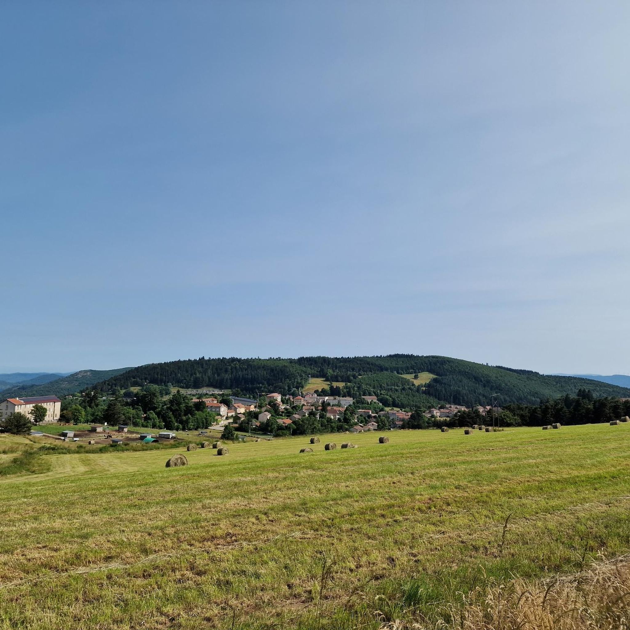
Best mountain passes around Satillieu are situated in the Ardèche region, characterized by winding roads and diverse terrain. The area offers elevated points and passes suitable for outdoor activities. Satillieu itself extends up to 1225 meters at Mont Chaix, indicating the mountainous nature of the surroundings. This region is known for its varied landscapes, from dense forests to open pastures, providing opportunities for exploration.
Best mountain passes around Satillieu
- The most popular mountain pass is Buisson Pass, a mountain pass that is 13 km long with a total drop of 377 meters from Saint Félicien. This pass is accessible for those exploring the region on foot and contributes to trails leading to higher vantage points.
- Another must-see spot is Rouvey Pass, a mountain pass known for its challenging ascent. From Satillieu, the climb spans 15.5 km with a total elevation gain of 768 meters, making it a popular ascent for cyclists.
- Visitors also love Rochepaule Pass, a mountain pass with a 3.7 km climb and a total drop of 177 meters from the Pont de l'Aygueneyre. This pass is part of the Ardêchoise - Les Boutières route.
- Satillieu is known for mountain passes suitable for cycling and hiking. The region offers a variety of mountain passes to see and explore, ranging from challenging ascents to more accessible routes.
- The mountain passes around Satillieu are appreciated by the komoot community, with 83 upvotes and 14 photos contributed by users.
Last updated: July 10, 2026
Buisson Pass
Highlight • Mountain Pass
Translated by Google •
Tip by

Rouvey Pass
Highlight • Mountain Pass
Translated by Google •
Tip by
Sign up now to discover places like this
Get recommendations on the best single tracks, peaks, & plenty of other exciting outdoor places.
Sign up for free
Col du Fau (1021 m)
Highlight • Mountain Pass
Translated by Google •
Tip by
Rochepaule Pass
Highlight • Mountain Pass
Translated by Google •
Tip by
Col Robert Marchand (911 m)
Highlight • Mountain Pass
Translated by Google •
Tip by

Sign up for free to discover even more mountain passes around Satillieu.
Sign up for free
Already have an account?
Start today with a free account
Your next adventure awaits.
Login or Signup

Tips from the Community

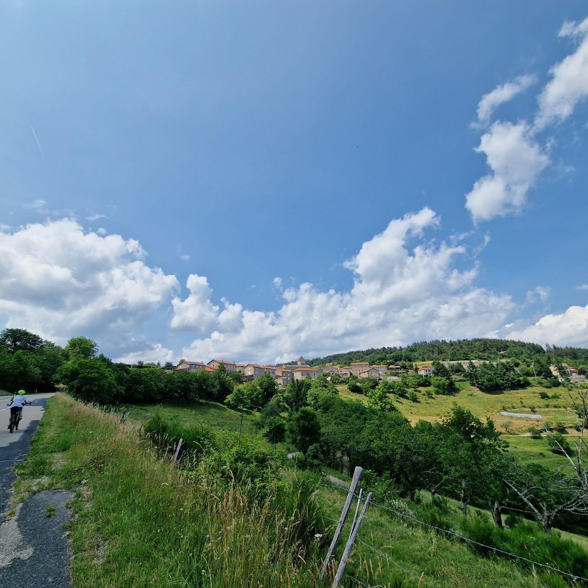
Beautiful downhill finish for the end of L'Ardéchoise. Be careful at the end of the descent with some very technical turns.
0
1

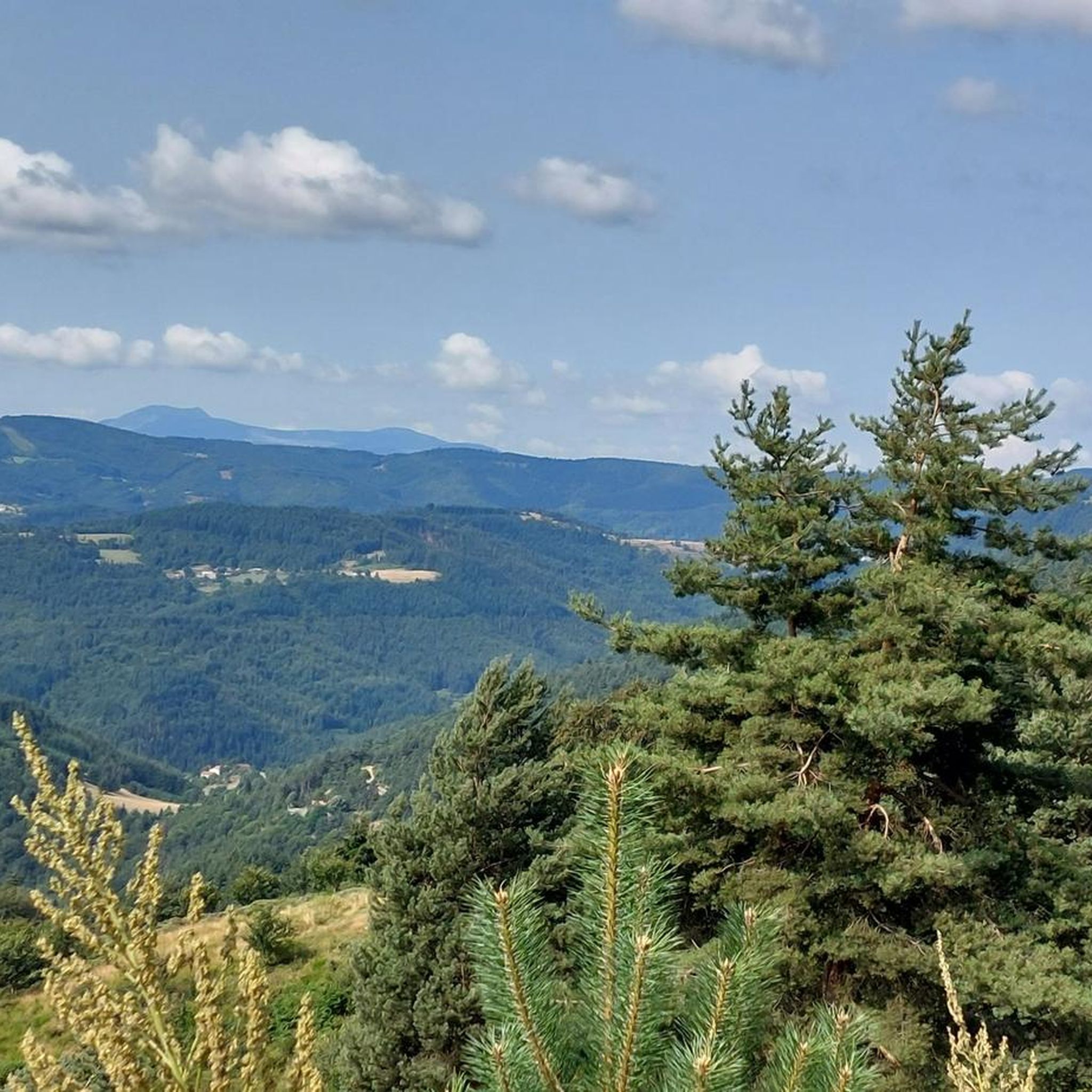
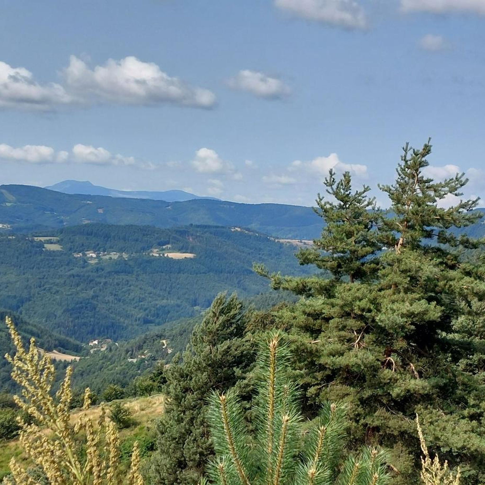
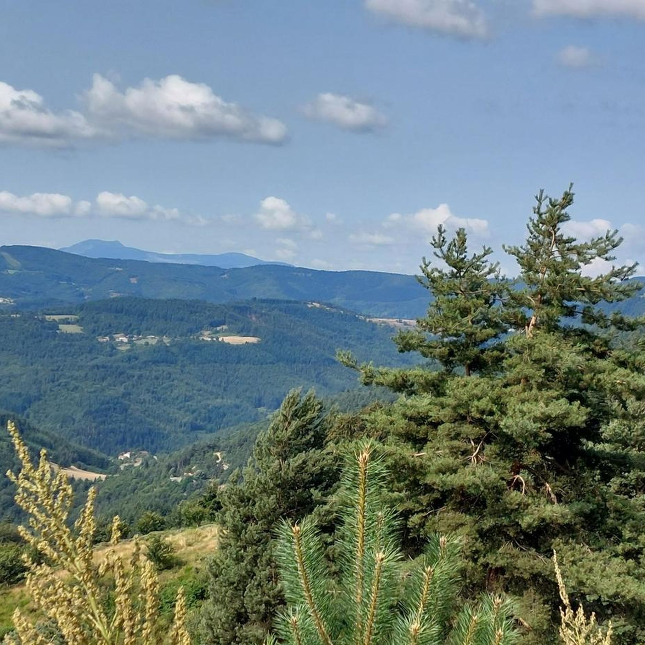
At the Col du Faux, you are at an altitude of more than 1000 meters and Mont Mézenc shows itself in all its grandeur while Mont Gerbier de Jonc makes its appearance.
0
0

The Col du Faux from Saint-Félicien is 10.4 km long with a total drop of 481 m. The average gradient is 4.6% with maximum gradients of 8.8%.
2
0
The Col du Rouvey from Satilleu is 15.5 km long with a total drop of 768 m. The average gradient is 4.95% with maximum gradients of 6.8%.
1
0
The Côte de Rochepaule from the Pont de l'Aygueneyre is 3.7 km long with a total drop of 177 m. The average gradient is 4.78% with maximum gradients of 6%.
1
0
The Col du Buisson from Saint Félicien is 13km long with a total drop of 377m. The average gradient is 2.9% with maximum gradients of 7.7%.
2
1

A small "highlight" - and a small snack in the Village Miniature, you can also get in for free if you just want to buy something to drink. We were served very friendly and were able to eat the food we had brought with us.
0
0

Beautiful pass to discover
0
0
Frequently Asked Questions
What types of outdoor activities can I enjoy around the mountain passes near Satillieu?
The region around Satillieu's mountain passes offers diverse terrain ideal for various outdoor activities. You can find excellent opportunities for hiking, road cycling, and mountain biking. Passes like the Col du Marchand are particularly pleasant for hikers, while the challenging ascent of Rouvey Pass is popular with cyclists.
Which mountain passes offer the best panoramic views in the Satillieu area?
Several passes and elevated points provide stunning panoramas. The Serre du Sardier, reachable via passes like the Buisson, Faux, and Marchand, offers breathtaking vistas of the Ardèche landscape. The Col du Fau (1021 m) also provides remarkable views, including Mont Mézenc and Mont Gerbier de Jonc on clear days.
Are there challenging cycling routes among the mountain passes near Satillieu?
Yes, the region is known for its challenging cycling routes. The climb to Rouvey Pass from Satillieu is a significant challenge, spanning 15.5 km with a total elevation gain of 768 meters and maximum gradients reaching 6.8%. It's a rewarding ascent for experienced cyclists.
Which mountain passes are suitable for hiking near Satillieu?
The Buisson Pass is accessible for those exploring the region on foot and contributes to trails leading to higher vantage points. The Col du Marchand is also particularly pleasant for hikers, featuring beautiful trails through dense forests and open pastures.
What is the best time of year to visit the mountain passes around Satillieu?
While specific 'best times' aren't detailed, the region's diverse terrain and focus on outdoor activities suggest that spring, summer, and early autumn would be ideal. These seasons typically offer favorable weather conditions for hiking, cycling, and enjoying the panoramic views.
Are there any historical or cultural points of interest related to the mountain passes?
Yes, the Col Robert Marchand (911 m) is a notable point of interest, named in honor of the centenary cyclist Robert Marchand. The trails through the area also often pass through charming and authentic hamlets, providing a sense of local culture.
What are some of the longer cycling climbs in the area?
The climb to Rouvey Pass from Satillieu is one of the longer and more significant ascents, covering 15.5 km. Another notable climb is the Buisson Pass from Saint Félicien, which is 13 km long.
Can I find running trails that incorporate these mountain passes?
Yes, the area offers several running trails that include the mountain passes. For example, you can find routes like the 'Col du Faux – Col du Faux loop from Lalouvesc' or the 'Buisson Pass – Col du Buisson loop from Lalouvesc'. You can explore more options on the running trails guide around Satillieu.
What makes the mountain passes around Satillieu unique?
The mountain passes around Satillieu are unique for their combination of stunning panoramas, diverse terrain suitable for various outdoor activities, and a peaceful, authentic atmosphere. They serve as gateways to higher altitudes, offering expansive views of the Ardèche countryside, the Rhône valley, and sometimes even the Alps.
Which mountain pass is part of the famous Ardêchoise cycling route?
The Rochepaule Pass is part of the Ardêchoise - Les Boutières route, making it a well-known segment for cyclists participating in this event.
Are there any mountain passes near Satillieu that are less strenuous for beginners?
The Buisson Pass is generally considered accessible for those exploring the region on foot. While many passes offer challenges, the Col du Buisson's gradient from Saint Félicien averages 2.9%, making it a more manageable option compared to steeper climbs.
What kind of terrain can I expect on the trails around the mountain passes?
You can expect a mix of terrain, from dense forests to open pastures. Trails often wind through varied landscapes, providing a dynamic experience for hikers and cyclists alike. The region's character is defined by its winding roads and diverse natural features.
Most popular routes around Satillieu
Most popular attractions around Satillieu

Get inspired with the komoot mobile app


Explore more
See even more epic mountain passes by checking out these guides around Satillieu:
