The best mountain hikes around Villarodin-Bourget
4.8
(6)
41
hikers
5
hikes
Mountaineering routes around Villarodin-Bourget are set within the dramatic alpine landscapes of the Haute Maurienne valley in the Savoie department of France. The region features significant altitudinal variations, ranging from 1,070 meters along the Arc River to over 3,400 meters at peaks like Pointe de l'Échelle. This area is characterized by prominent mountain peaks, high-altitude lakes, and distinct vegetation zones, influenced by a sunny, drier mountain climate. Villarodin-Bourget also serves as a gateway to the Vanoise National Park, offering diverse…
Last updated: July 1, 2026
4.5
(4)
19
hikers
11.4km
05:41
960m
960m
Hard mountaineering route. Very good fitness required. Sure-footedness, sturdy shoes and alpine experience required.
5
hikers
15.6km
07:08
1,010m
1,010m
Hard mountaineering route. Very good fitness required. Mostly accessible paths. Sure-footedness required.

Sign up for free
1
hikers
9.73km
03:33
610m
610m
Moderate mountaineering route. Good fitness required. Easily-accessible paths. Suitable for all skill levels.
4
hikers
Hard mountaineering route. Very good fitness required. Mostly accessible paths. Sure-footedness required.
4
hikers
Hard mountaineering route. Very good fitness required. Sure-footedness, sturdy shoes and alpine experience required.
Our route recommendations are based on thousands of hikes, rides, and runs completed by other people on komoot.
Start today with a free account
Your next adventure awaits.
Login or Signup
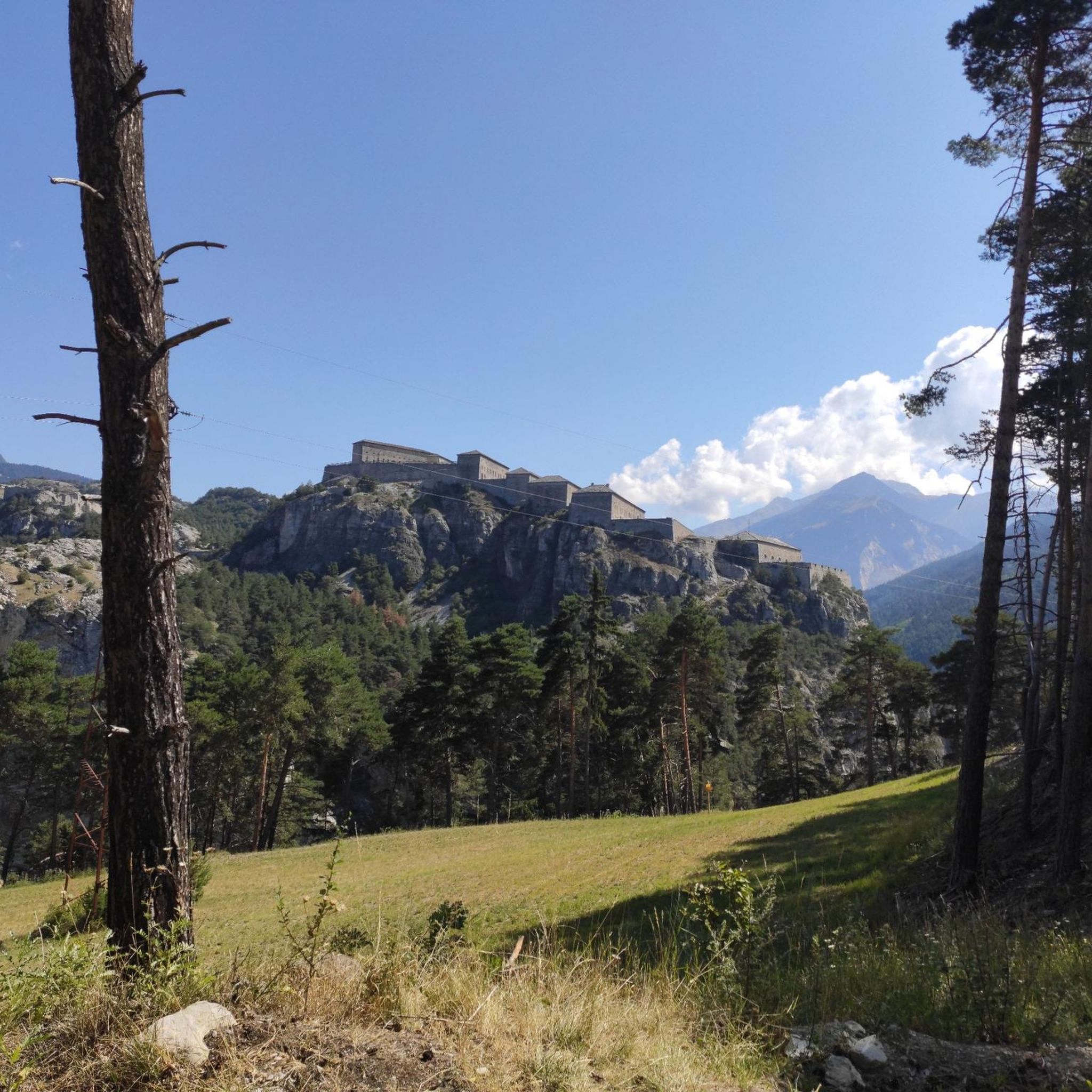
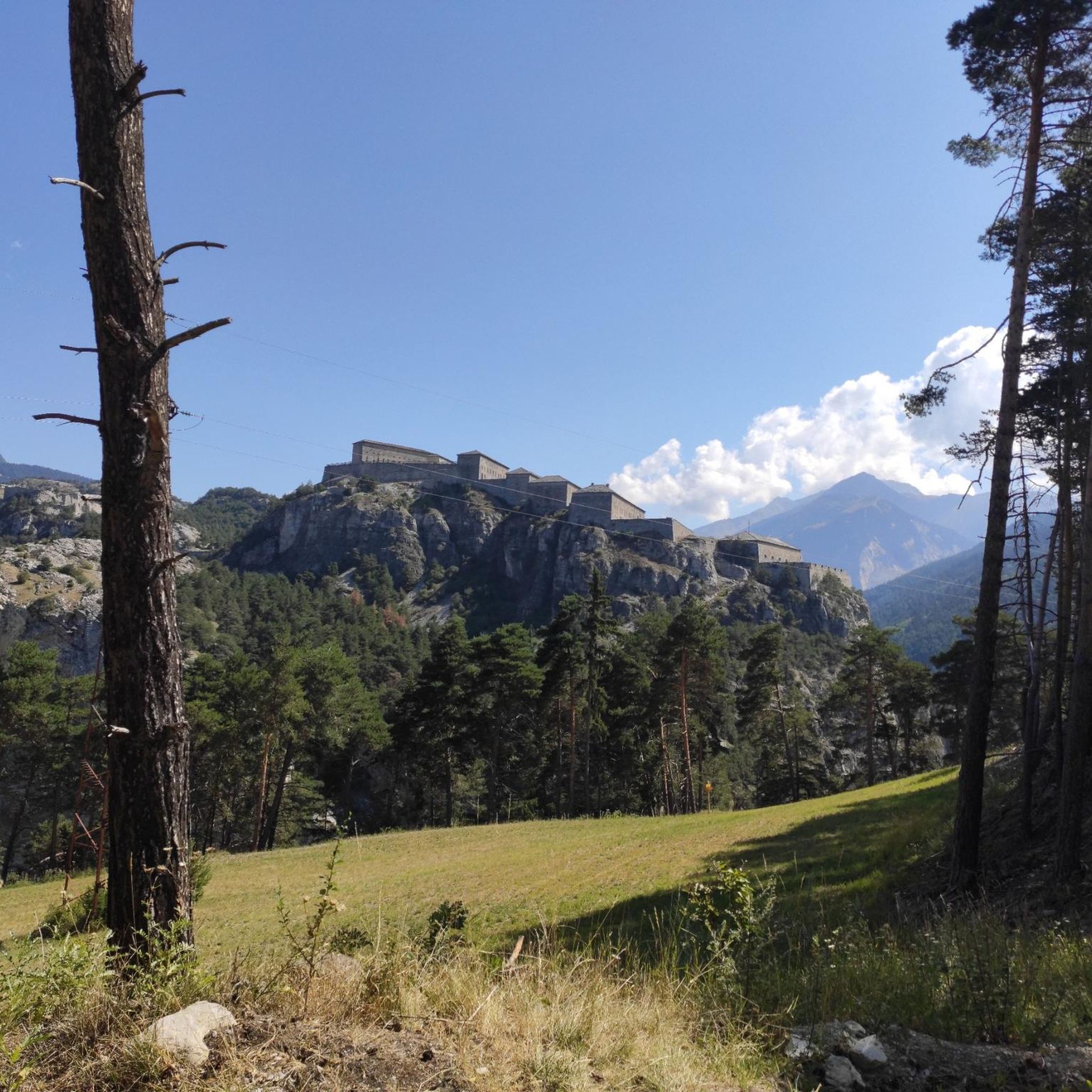
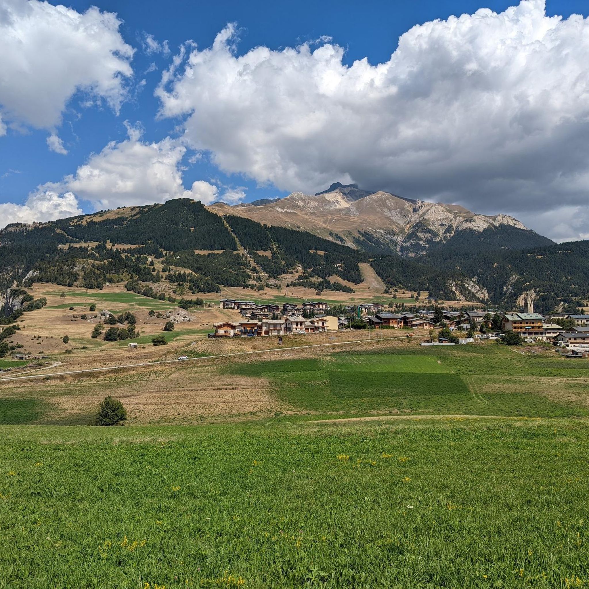
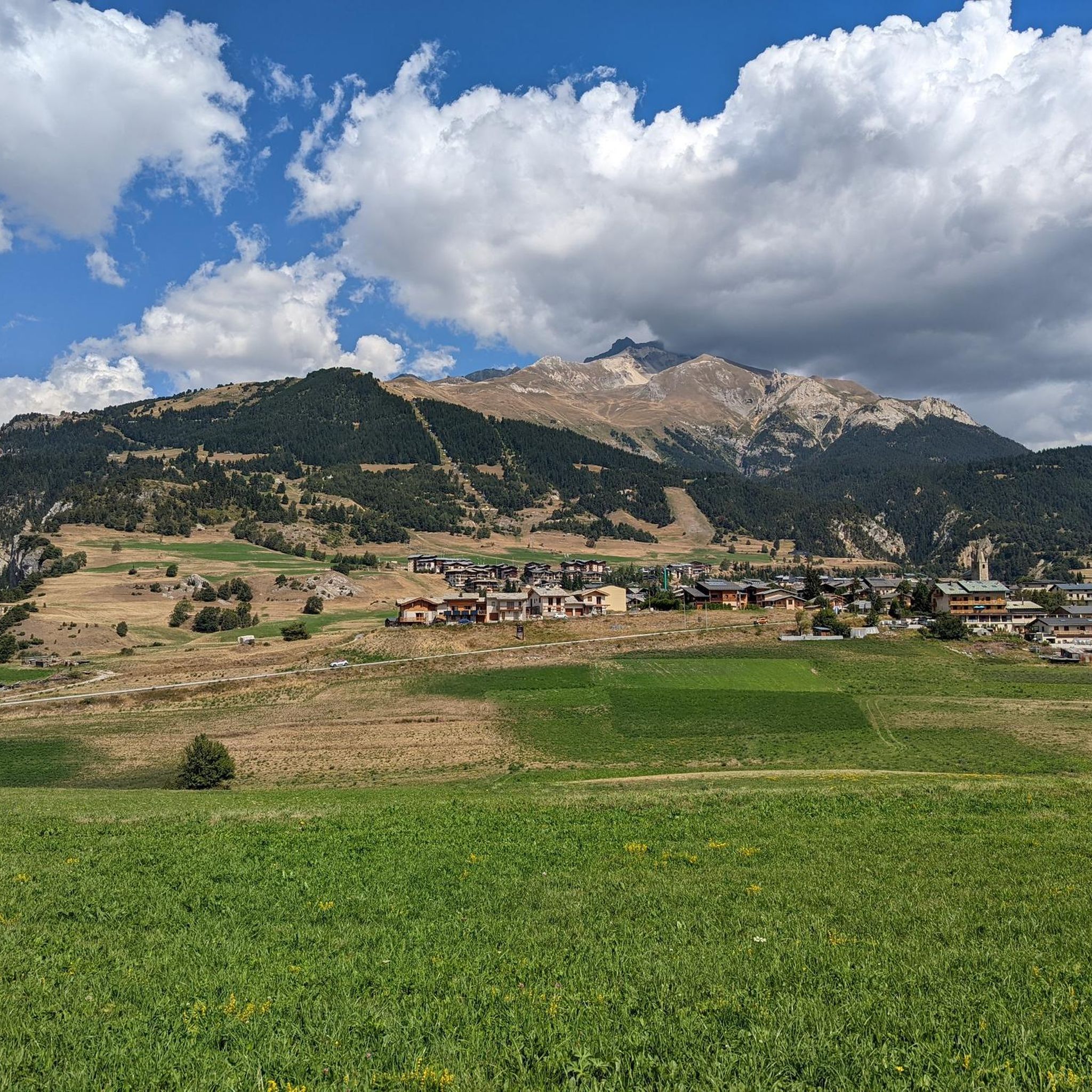
Tips from the Community

A refuge like so many others. Accessible by car...
0
0
A meadow surrounded by chalets. Magnificent...
0
0

Pass which allows you to climb the Petit Mont Blanc
0
0


In high season, the refuge can accommodate up to 70 people. It also offers a catering service, and hikers passing through can stop simply for a drink. You will also find a drinking water point, toilets and PRM access.
0
0
The refuge is open from mid-June to mid-September and has 44 beds. It also serves good comfort food, for lunch and dinner. Remember to book your night on the refuge website: https://refuge-valette.vanoise.com/services-gardiennage
0
0

It is located immediately below Lac Plan d'Amont
0
0

Lake Tête Ronde. 2453m Possibility to eat at the edge of the lake
1
0
Frequently Asked Questions
How many mountaineering routes are available around Villarodin-Bourget?
There are 7 mountaineering routes detailed around Villarodin-Bourget, offering a range of experiences for different skill levels. These include 2 moderate and 5 difficult trails.
Are there any moderate mountaineering routes suitable for those looking for a less strenuous challenge?
Yes, there are moderate options available. For example, the Lac de Chalet Clou – Refuge du Roc de la Pêche loop from Réserve biologique dirigée du Petit Mont Blanc is a moderate 9.6 km route that takes approximately 3 hours 56 minutes. Another moderate option is the Lac Blanc – Lac Peclet loop from Val Thorens, covering 9.8 km in about 3 hours 34 minutes.
What kind of terrain can I expect on mountaineering routes in Villarodin-Bourget?
Mountaineering routes in Villarodin-Bourget traverse dramatic alpine landscapes, with significant altitudinal variations from 1,070 meters along the Arc River to over 3,400 meters at peaks like Pointe de l'Échelle. You'll encounter prominent mountain peaks, high-altitude cols, glacial valleys, and distinct vegetation zones, often within the Vanoise National Park.
What are some notable natural features or landmarks I might see on these routes?
The region is rich in natural beauty and historical sites. You might encounter picturesque high-altitude lakes like Lac de Plan d'Amont, or pass by significant peaks such as Melmise Peak and Little Mont Blanc. Historical sites like Fort Jafferau also dot the landscape, offering a glimpse into the area's past.
Are there any circular mountaineering routes available?
Yes, many of the routes are designed as loops. For instance, the challenging Col du Grand Marche loop from Réserve biologique dirigée du Petit Mont Blanc is an 18.0 km trail through high mountain passes. Another is the Plan d'Amont Reservoir – View of Plan d'Amont loop from Plan d'Amont, a difficult 11.4 km route offering views of the high-altitude reservoir.
What do other mountaineers say about the routes in Villarodin-Bourget?
The mountaineering routes around Villarodin-Bourget are highly rated by the komoot community, with an average score of 4.7 stars from 12 reviews. Over 70 mountaineers have explored this varied terrain, often praising the impressive alpine peaks and the diverse challenges offered.
Is Villarodin-Bourget a good base for exploring the Vanoise National Park?
Absolutely. Villarodin-Bourget is ideally situated as a gateway to the Vanoise National Park, providing access to numerous trails and diverse terrain for mountaineering and other mountain activities. The park's protected status ensures pristine natural environments.
Are there any refuges or huts along the mountaineering routes for overnight stays or breaks?
Yes, the region offers several huts and refuges. Notable options include Rifugio Scarfiotti, Refuge du Saut, and Refuge de Plan Sec. These can provide essential services and shelter during longer tours.
What is the best time of year for mountaineering in Villarodin-Bourget?
The region experiences a sunny, drier mountain climate compared to other parts of the northern Alps. While specific conditions vary, summer and early autumn generally offer the most favorable weather for mountaineering, with accessible high-altitude trails and stunning views. Winter mountaineering is also possible but requires specialized gear and experience due to snow and ice conditions.
Are there any particularly challenging routes for experienced mountaineers?
Yes, experienced mountaineers will find several difficult routes. The Chapelle Notre-Dame-des-Neiges – Partie Lake loop from Mont d'Ambin Base Tunnel is a challenging 12.7 km path that traverses high mountain terrain, passing by a chapel and a picturesque lake. The Col du Grand Marche loop is another demanding option, covering 18.0 km with significant elevation gain.
What is the highest point reachable on a mountaineering route in this area?
The region features significant altitudinal variations, with peaks like Pointe de l'Échelle reaching over 3,400 meters. While specific routes may not reach the absolute summit of every peak, the trails often ascend to high-altitude cols and offer panoramic views from considerable elevations.
Most popular routes around Villarodin-Bourget
Most popular attractions around Villarodin-Bourget

Get inspired with the komoot mobile app


Explore more
Browse the best Mountain Hikes & Routes in other regions.
