The best walks and hikes around Préaux
4.5
(261)
1,796
hikers
122
hikes
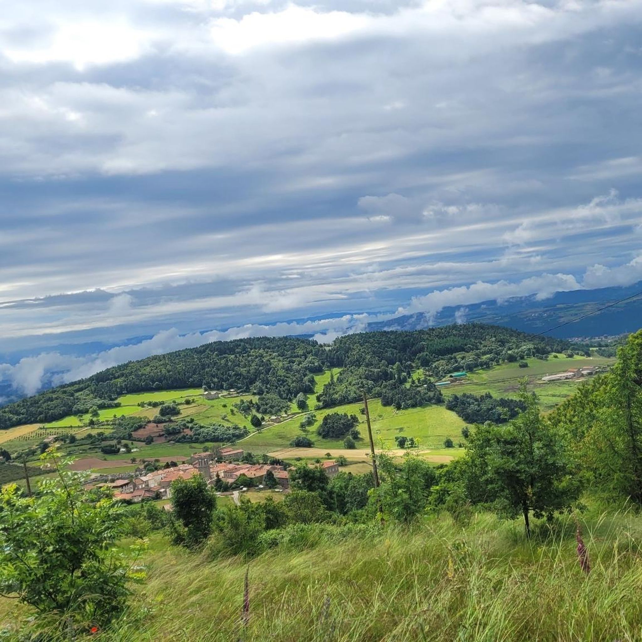
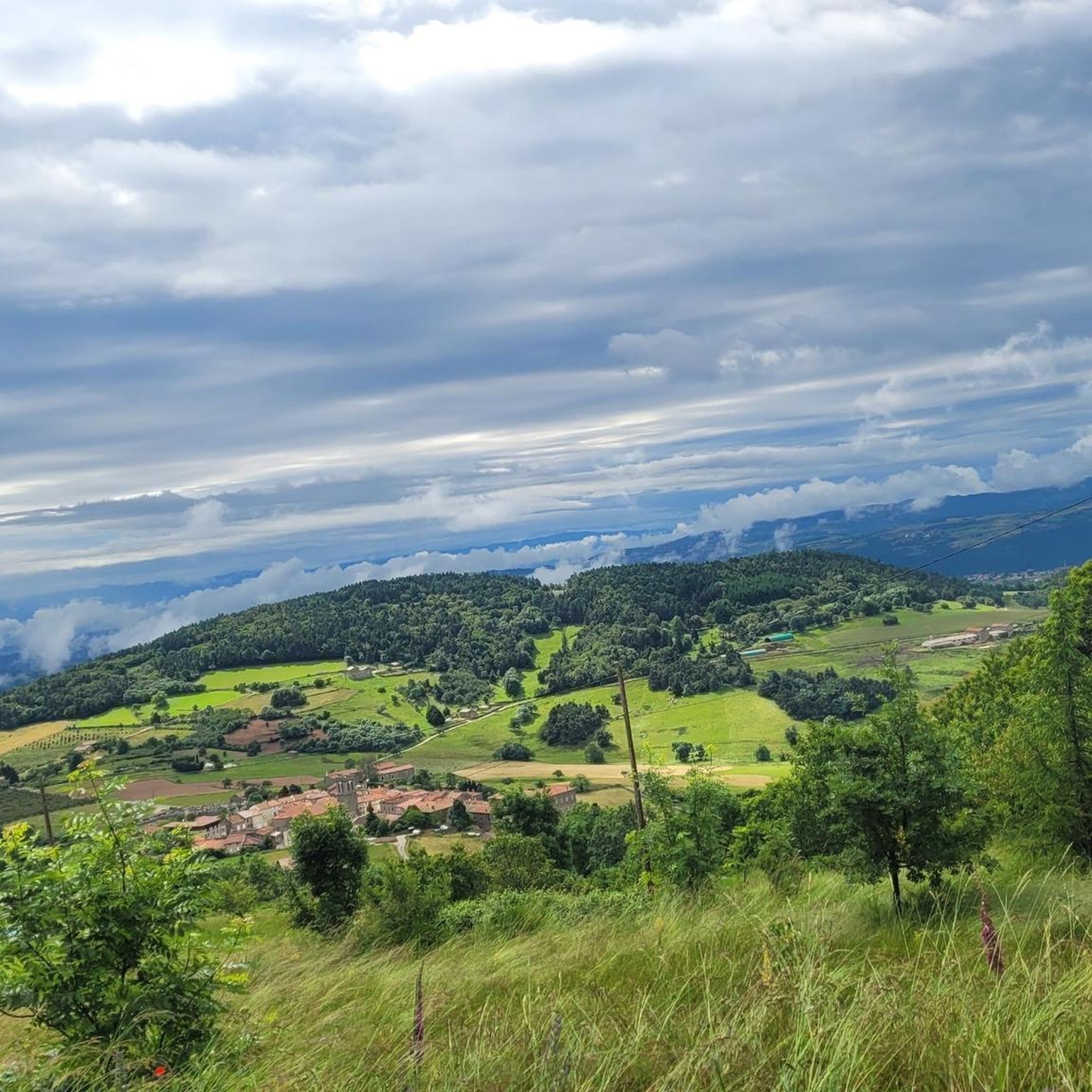
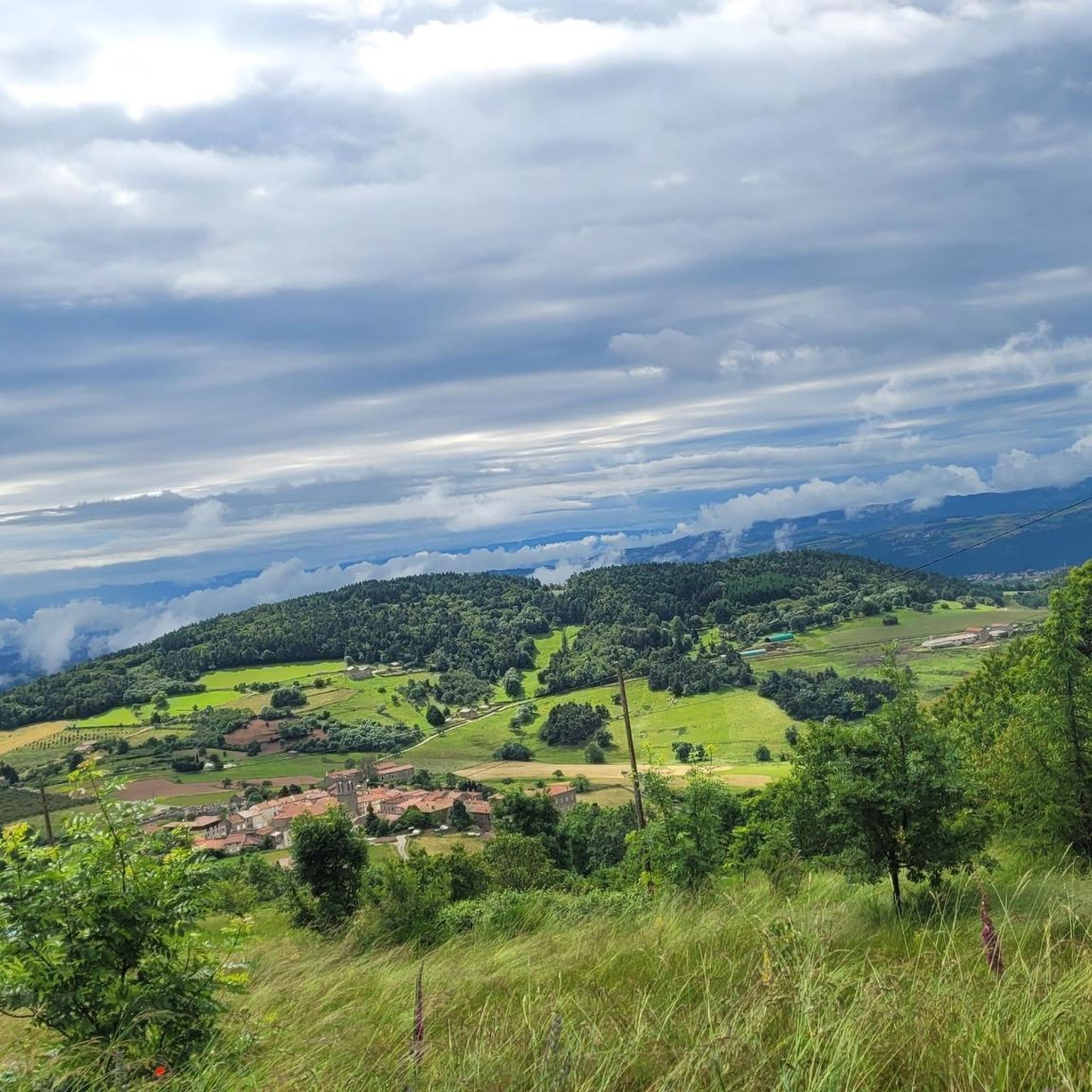
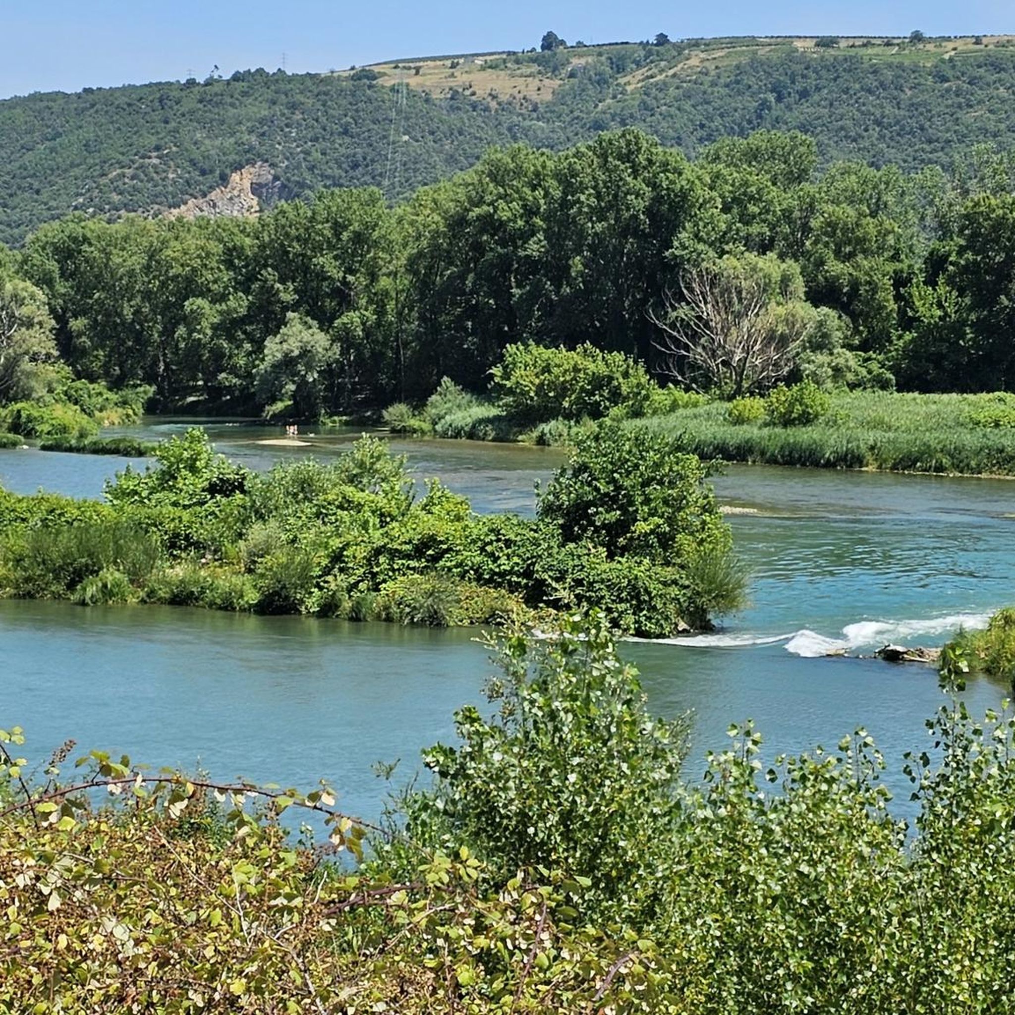
Hiking trails around Préaux offer diverse terrain in the Ardèche region of France. The area features a mix of hills, valleys, and elevated points, with routes often passing through rural landscapes and near historical sites. Elevations range from gentle ascents to more significant climbs, providing varied experiences for hikers. The region's natural features include forested sections and open areas, characteristic of the northern Ardèche.
Best hiking trails around Préaux
- The most popular hiking route is Veyrines Romanesque Church loop from…
Last updated: July 1, 2026
4.5
(2)
20
hikers
14.5km
04:22
480m
480m
Moderate hike. Good fitness required. Easily-accessible paths. Suitable for all skill levels.
5.0
(3)
7
hikers
11.6km
03:22
310m
310m
Moderate hike. Good fitness required. Easily-accessible paths. Suitable for all skill levels.

Sign up for free
5.0
(2)
7
hikers
4.03km
01:09
100m
90m
Easy hike. Great for any fitness level. Easily-accessible paths. Suitable for all skill levels.
1
hikers
25.5km
07:59
980m
980m
Hard hike. Very good fitness required. Easily-accessible paths. Suitable for all skill levels.
2
hikers
Hard hike. Very good fitness required. Easily-accessible paths. Suitable for all skill levels.
Get access to more routes and recommendations from other explorers.
Sign up for free
Already have an account?
Our route recommendations are based on thousands of hikes, rides, and runs completed by other people on komoot.
Start today with a free account
Your next adventure awaits.
Login or Signup

Tips from the Community

Beautiful hike, be careful, the climb up Chirat Blanc is very rocky. Take the short detour to see the castle ruins, the view is worth it.
0
0

At the Col du Faux, you are at an altitude of more than 1000 meters and Mont Mézenc shows itself in all its grandeur while Mont Gerbier de Jonc makes its appearance.
0
0

The Col du Faux from Saint-Félicien is 10.4 km long with a total drop of 481 m. The average gradient is 4.6% with maximum gradients of 8.8%.
2
0

Beautiful pass to discover
0
0
We came from Orleans in 2021 in memory of this cyclist. We were not the only ones, several hundred people this weekend. Ardéchoise date canceled due to COVID.
1
0

In honor of the centenary cyclist born in 1911
0
0
Frequently Asked Questions
How many hiking trails are there in Préaux?
There are over 100 hiking routes available around Préaux, catering to various skill levels. The komoot community has explored more than 109 trails in the area.
What kind of terrain can I expect when hiking around Préaux?
Hiking around Préaux, particularly in the Ardèche region, offers diverse terrain. You'll find a mix of hills, valleys, and elevated points, with routes often passing through rural landscapes and near historical sites. The area features forested sections and open areas, characteristic of the northern Ardèche.
What natural features or landmarks can I see while hiking in Préaux?
The Préaux area is rich in natural beauty and interesting landmarks. You can explore the Gorges and the Cance Valley, or discover various mountain passes like Buisson Pass, Rouvey Pass, and the notable Col du Fau (1021 m).
Are there any challenging hikes in Préaux?
Yes, for experienced hikers seeking a challenge, there are 8 difficult routes in the Préaux area. One such demanding trail is the Col du Fau (1021 m) – Col Robert Marchand (911 m) loop from Satillieu, which spans 15.9 miles (25.5 km) and includes significant elevation changes.
Are there any easy hikes suitable for beginners or a quick outing in Préaux?
Absolutely. Préaux offers 27 easy routes perfect for beginners or those looking for a less strenuous walk. A great option is the Notre-Dame d'Ay loop from Saint-Romain-d'Ay, an easy 2.5 miles (4.0 km) path with gentle gradients.
What do other hikers enjoy the most about hiking in Préaux?
The Préaux area is highly rated by the komoot community, with an average score of 4.4 stars from over 220 reviews. Hikers often praise the varied elevations, rural landscapes, and the network of paths connecting charming villages and natural features.
Are there circular walks available in Préaux?
Yes, many of the trails around Préaux are designed as loops, offering convenient circular walks. For example, the Veyrines Romanesque Church loop from Satillieu is a popular moderate route, and the Sauvion greenhouse loop from Satillieu also provides a circular option.
What kind of wildlife can I expect to see while hiking in Préaux?
While hiking in Préaux, particularly in the Seine-Maritime area, you might spot pheasants in open plains. The region's extensive forest areas and open plains provide opportunities to observe local wildlife. In the Eure region, the Marais-Vernier wetlands are known for their rich biodiversity, including protected species like storks, falcons, and owls, as well as various cattle and horses.
Are there family-friendly hikes in Préaux?
Yes, with 27 easy routes, Préaux offers several options suitable for families. These trails typically feature shorter distances and gentle gradients, making them enjoyable for all ages. The Notre-Dame d'Ay loop from Saint-Romain-d'Ay is a good example of an easy, family-friendly path.
What is the best time to visit Préaux for hiking?
The diverse landscapes of Préaux, including forests, plains, river valleys, and wetlands, make it suitable for hiking across various seasons. However, for optimal conditions, spring and autumn often provide pleasant temperatures and vibrant scenery. The Marais-Vernier wetlands offer excellent birdwatching opportunities, especially during migration periods.
Are dogs allowed on the hiking trails in Préaux?
Generally, dogs are welcome on many hiking trails in France, especially if kept on a leash. However, specific rules can vary by protected area or private land. It's always advisable to check local signage or specific trail regulations before heading out with your dog.
Is public transport available to reach hiking trails in Préaux?
While the region has general public transport options, direct access to specific trailheads via public transport can be limited. It's recommended to check local bus schedules or consider driving to the starting points of your chosen hikes, as many routes begin from villages like Satillieu or Saint-Romain-d'Ay.
Where can I find parking for hikes in Préaux?
Most hiking trails in Préaux start from villages or designated points where parking is typically available. For routes beginning in places like Satillieu or Saint-Romain-d'Ay, you can usually find parking in or near the village centers. Always look for designated parking areas to ensure you're not obstructing local access.
Most popular attractions around Préaux

Get inspired with the komoot mobile app


Explore more
Browse the best Hikes in other regions.
