The best running trails around Hauteluce
4.5
(33)
2,500
runners
62
runs
Jogging around Hauteluce offers diverse terrain within the heart of the Beaufortain massif, characterized by alpine landscapes and extensive trail networks. The region features mountain pastures, dense forests, and significant elevation changes, providing varied running experiences. Many routes offer panoramic views of the Mont Blanc massif and surrounding peaks.
Best jogging routes around Hauteluce
- The most popular jogging route is Trail du Chard – Les Saisies trail station, a 7.0 miles (11.2 km) trail that takes 1 hour 30…
Last updated: July 8, 2026
5.0
(4)
253
runners
11.2km
01:31
360m
360m
Hard run. Very good fitness required. Mostly paved surfaces. Suitable for all skill levels.
4.8
(4)
134
runners
6.74km
00:53
210m
210m
Moderate run. Good fitness required. Mostly paved surfaces. Suitable for all skill levels.

Sign up for free
3.0
(1)
86
runners
16.0km
02:11
640m
630m
Hard run. Very good fitness required. Sure-footedness, sturdy shoes and alpine experience required.
47
runners
19.0km
02:44
890m
900m
Hard run. Very good fitness required. Sure-footedness, sturdy shoes and alpine experience required.
13
runners
49.6km
07:14
2,070m
2,070m
Hard run. Very good fitness required. Sure-footedness, sturdy shoes and alpine experience required.
Get access to more routes and recommendations from other explorers.
Sign up for free
Already have an account?
Our route recommendations are based on thousands of hikes, rides, and runs completed by other people on komoot.
Start today with a free account
Your next adventure awaits.
Login or Signup
Popular around Hauteluce
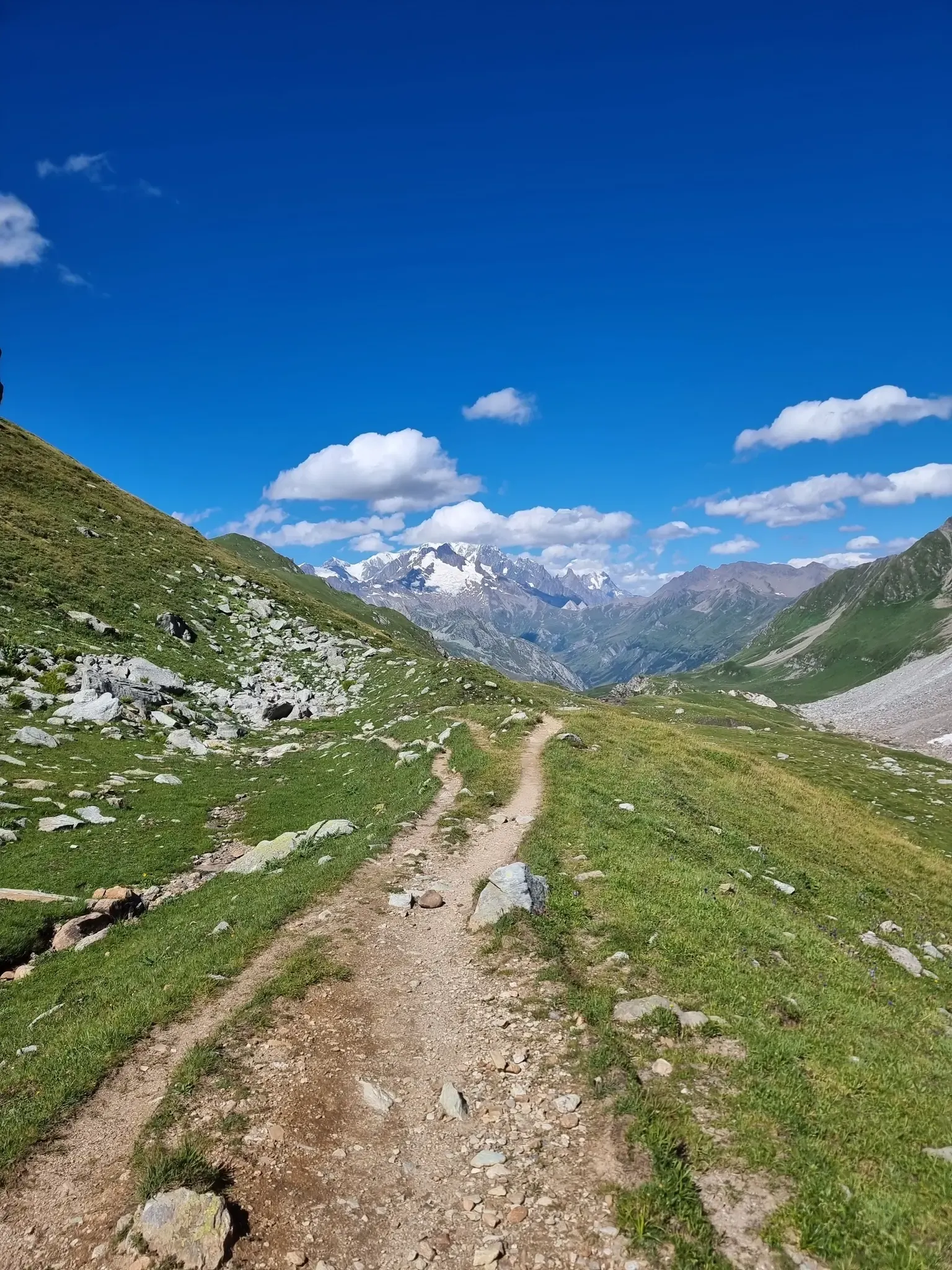
Five days of alpine fastpacking - Ultra Tour du Beaufortain
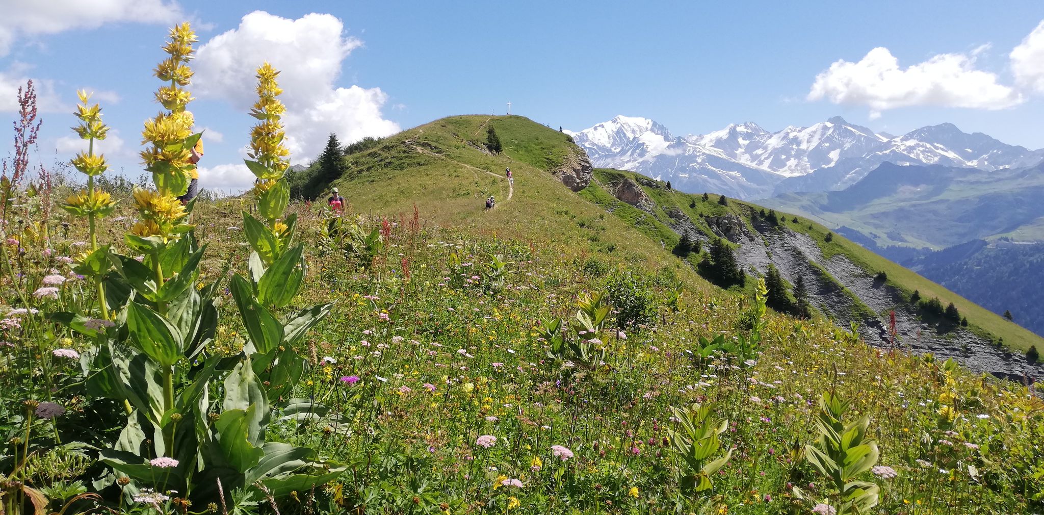
Running in the mountains – Les Saisies trail station
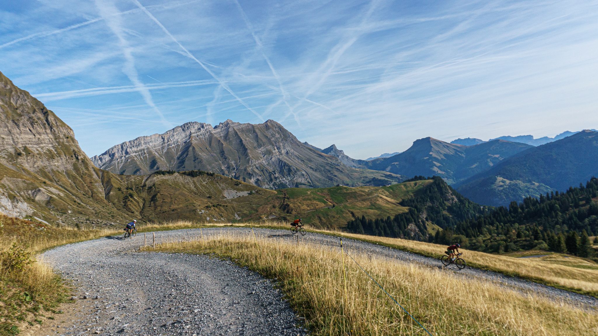
A weekend off-road adventure around the Val d'Arly
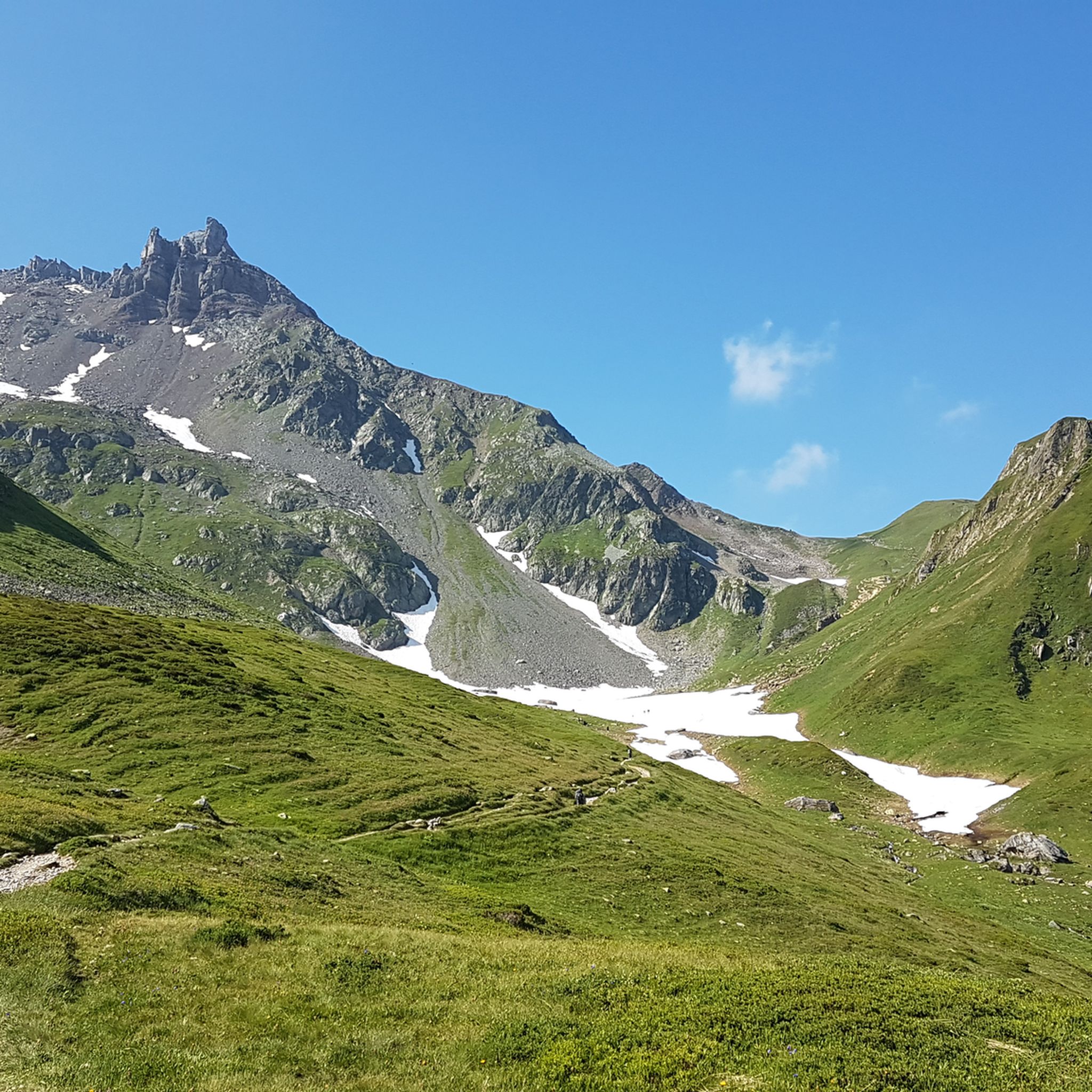
Hiking around Hauteluce
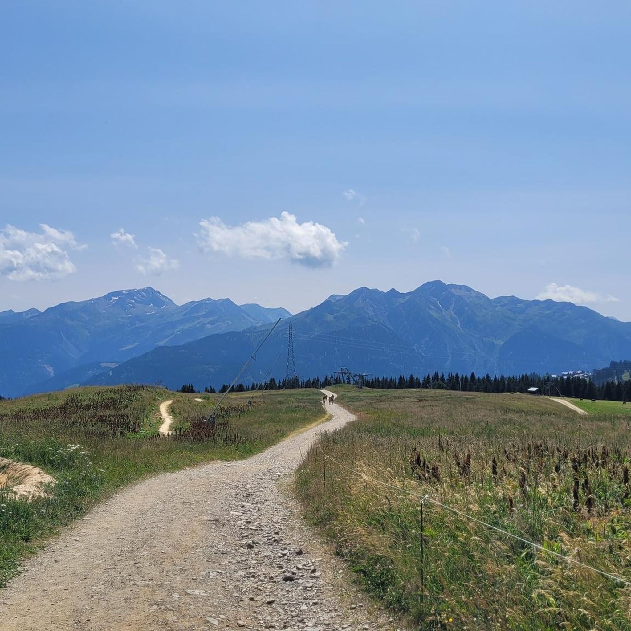
MTB Trails around Hauteluce
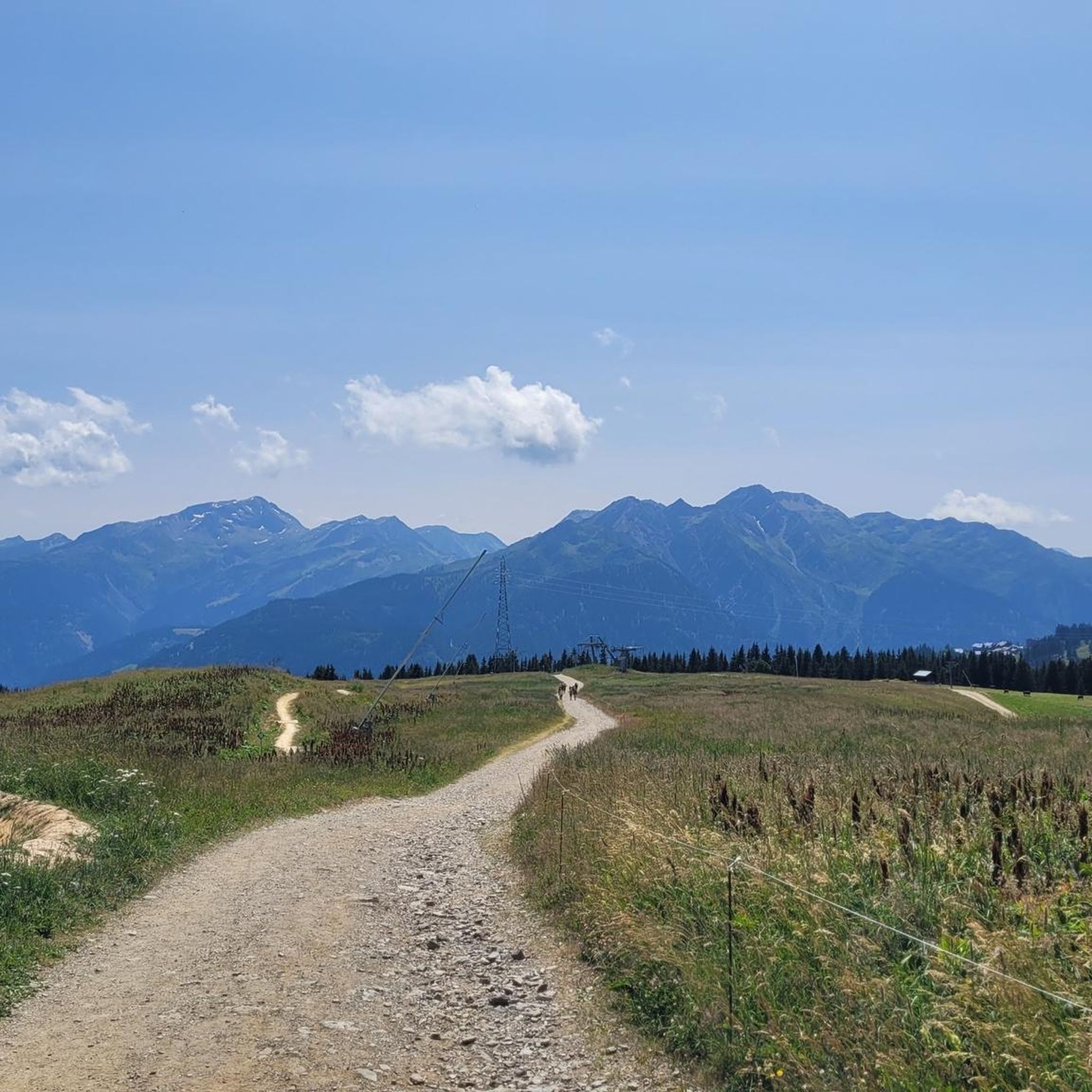
Road Cycling Routes around Hauteluce
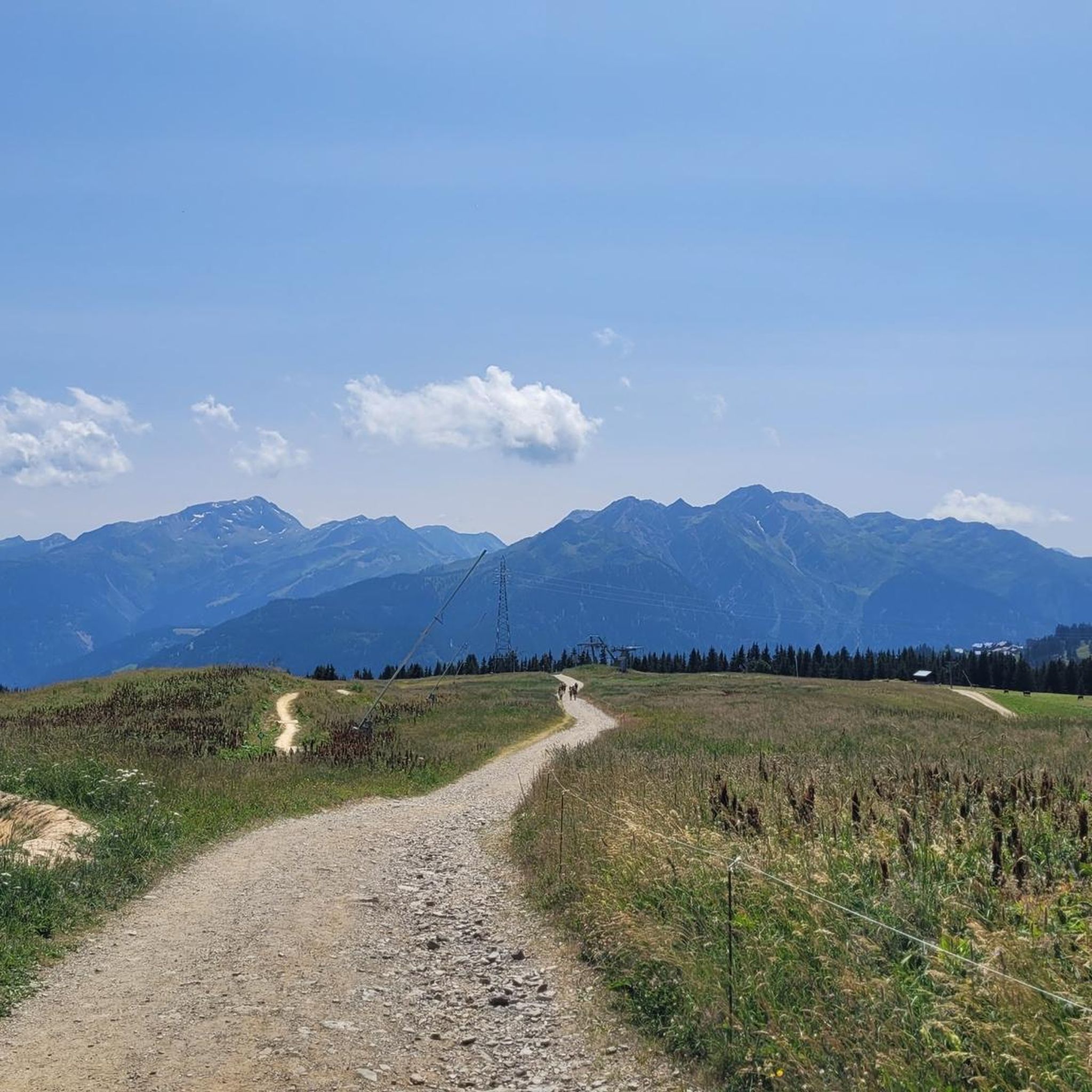
Cycling around Hauteluce

Mountain Hikes around Hauteluce
Gravel biking around Hauteluce


Tips from the Community

Nice pleasant place with church, shop and restaurants.
2
0


Magnificent view from the pass, but impossible on gravel.
1
0


The pass is 1,989 m high and runs along a paved track between Beaufortain and Val Montjoie. The landscape is dominated by the Aguille Croche peak, where hiking trails lead to its northern summit, where the Alpine glaciers are located. From the summit you can also see the Aravis mountain range or the Girotte dam. In this sense, it is a very popular pass for mountain bike routes.
2
1
The Col de Joly is an impressive mountain pass straddling the Savoie and Haute-Savoie regions. The impressive natural balcony formed at the top is remarkable, offering a wonderful view of the Montblanc massif. The pass is 1,989 m high. It runs along a paved track that runs between Beaufortain and Val Montjoie. The landscape is dominated by the Aguille Croche peak, where hiking trails lead to its northern summit, where the Alpine glaciers are located. From the summit we can also see the Aravis mountain range or the Girotte dam. In this sense, it is a very popular pass for mountain bike routes.
3
1

Magnificent views of Mont Blanc, Pierra Menta...
0
0
Frequently Asked Questions
How many running trails are available around Hauteluce, and what are their difficulty levels?
Hauteluce boasts a vast network of over 60 running trails, with more than 270 km of paths in the wider Beaufortain massif. You'll find a great variety, including easy routes perfect for a gentle jog, over 20 moderate trails, and more than 40 difficult routes for experienced trail runners seeking a challenge.
What kind of scenery can I expect on the jogging routes in Hauteluce?
The running routes in Hauteluce offer breathtaking alpine scenery. You can expect panoramic views of the Mont Blanc massif, the Aravis, and the Beaufortain from many trails. Routes often wind through green summer meadows, dense forests, and past significant mountain passes like the Col de la Lézette and Col des Saisies, providing a quintessential alpine experience.
Are there any family-friendly running trails in the Hauteluce area?
Yes, Hauteluce offers options suitable for families. For an easier, scenic run, consider the La Légette Loop Trail, which is about 4.43 km with a moderate elevation gain, offering stunning panoramic views. While specific 'family-friendly' designations for all running routes aren't available, many of the easier trails can be enjoyed by active families.
Which running routes offer the best viewpoints of Mont Blanc?
Many routes in the Hauteluce region provide spectacular views of Mont Blanc. The Trail du Chard – Les Saisies trail station is known for its expansive mountain views, including Mont Blanc. Additionally, trails around the Col de la Lézette and the Chard du Beurre are renowned for their exceptional panoramas of Europe's highest peak.
Are there any waterfalls or natural monuments to see along the running trails?
Yes, the area around Hauteluce features several natural monuments. You might encounter waterfalls such as the Combe Noire Waterfall or the Belle au Bois Waterfall. The region also includes impressive mountain passes like the Col de la Seigne and the Col du Bonhomme, adding to the picturesque landscape.
What do other runners enjoy most about jogging in Hauteluce?
The running experience in Hauteluce is highly regarded by the komoot community, with an average rating of 4.6 stars from over 40 reviews. Runners frequently praise the diverse terrain, from alpine pastures to forest paths, and especially the panoramic views of Mont Blanc. The extensive and well-maintained trail network is also a significant highlight.
Are there any challenging trail running routes for experienced runners?
Absolutely. Hauteluce is an excellent destination for challenging trail running. Over 40 of the routes are classified as difficult, featuring significant elevation gains. For instance, the Les Balcons d'Hauteluce – Les Saisies trail station is a demanding 19 km route with nearly 900m of ascent, offering a rigorous workout amidst stunning scenery.
Can I find circular running routes in Hauteluce?
Yes, many of the running routes in Hauteluce are designed as loops, allowing you to start and finish in the same location. For example, the Col de la Lézette offers several circular loops with varying distances and elevation gains, providing spectacular views of Mont Blanc and the surrounding alpine environment.
Is Hauteluce suitable for running in winter, or is it primarily a summer destination?
While Hauteluce is a popular summer destination for trail running, its association with Les Saisies, a ski resort, means the area transforms in winter. Some trails may be accessible for winter running, especially with appropriate gear like snowshoes or trail spikes, but many will be covered in snow. It's best to check local conditions and trail status during the winter months.
Are there any specific trails that lead to interesting places or landmarks?
Yes, several trails can lead you to notable landmarks. For example, you might find routes that pass by the historic Notre-Dame de la Gorge or the Roman bridge. The region's mountain passes, like the Col des Saisies, are also significant points of interest accessible via running paths.
Are the running trails around Hauteluce dog-friendly?
Generally, the natural environment of Hauteluce and the Beaufortain massif is welcoming to dogs, especially on marked trails. However, it's always recommended to keep your dog on a leash, especially in areas with livestock or protected wildlife. Always check specific trail regulations or local signage, as some areas might have restrictions during certain seasons or in nature reserves.
Where can I find parking for the running trails in Hauteluce?
Hauteluce and its proximity to Les Saisies offer various parking options. Many trailheads, especially those associated with the Les Saisies trail station, will have designated parking areas. It's advisable to check the starting point of your chosen route on komoot for specific parking information, as availability can vary.
Most popular routes around Hauteluce
Most popular attractions around Hauteluce

Get inspired with the komoot mobile app


Explore more
Browse the best Running Trails & Routes in other regions.
