The best running trails around Aigueblanche
4.4
(25)
2,267
runners
15
runs
Jogging around Aigueblanche offers diverse landscapes, from Alpine valleys to tranquil riverbanks and forested hillsides. The region is situated at an elevation of 472 meters, with surrounding peaks providing varied terrain for running. The Isère River flows through the area, offering scenic routes, while the Morel Valley features trails with views of the Lauzière massif. Joggers can explore peaceful forests and meadows, providing a range of experiences from gentle paths to more challenging climbs.
Best jogging routes around Aigueblanche
- The…
Last updated: July 1, 2026
4.5
(4)
213
runners
11.4km
01:25
340m
340m
Hard run. Very good fitness required. Mostly paved surfaces. Suitable for all skill levels.
104
runners
24.3km
03:30
1,260m
1,260m
Hard run. Very good fitness required. Sure-footedness, sturdy shoes and alpine experience required.

Sign up for free
4.5
(2)
85
runners
7.37km
00:47
60m
60m
Moderate run. Good fitness required. Mostly paved surfaces. Suitable for all skill levels.
4.0
(2)
52
runners
10.4km
01:10
200m
200m
Moderate run. Good fitness required. Mostly paved surfaces. Suitable for all skill levels.
10
runners
5.87km
00:38
60m
60m
Moderate run. Good fitness required. Mostly paved surfaces. Suitable for all skill levels.
Get access to more routes and recommendations from other explorers.
Sign up for free
Already have an account?
Our route recommendations are based on thousands of hikes, rides, and runs completed by other people on komoot.
Start today with a free account
Your next adventure awaits.
Login or Signup
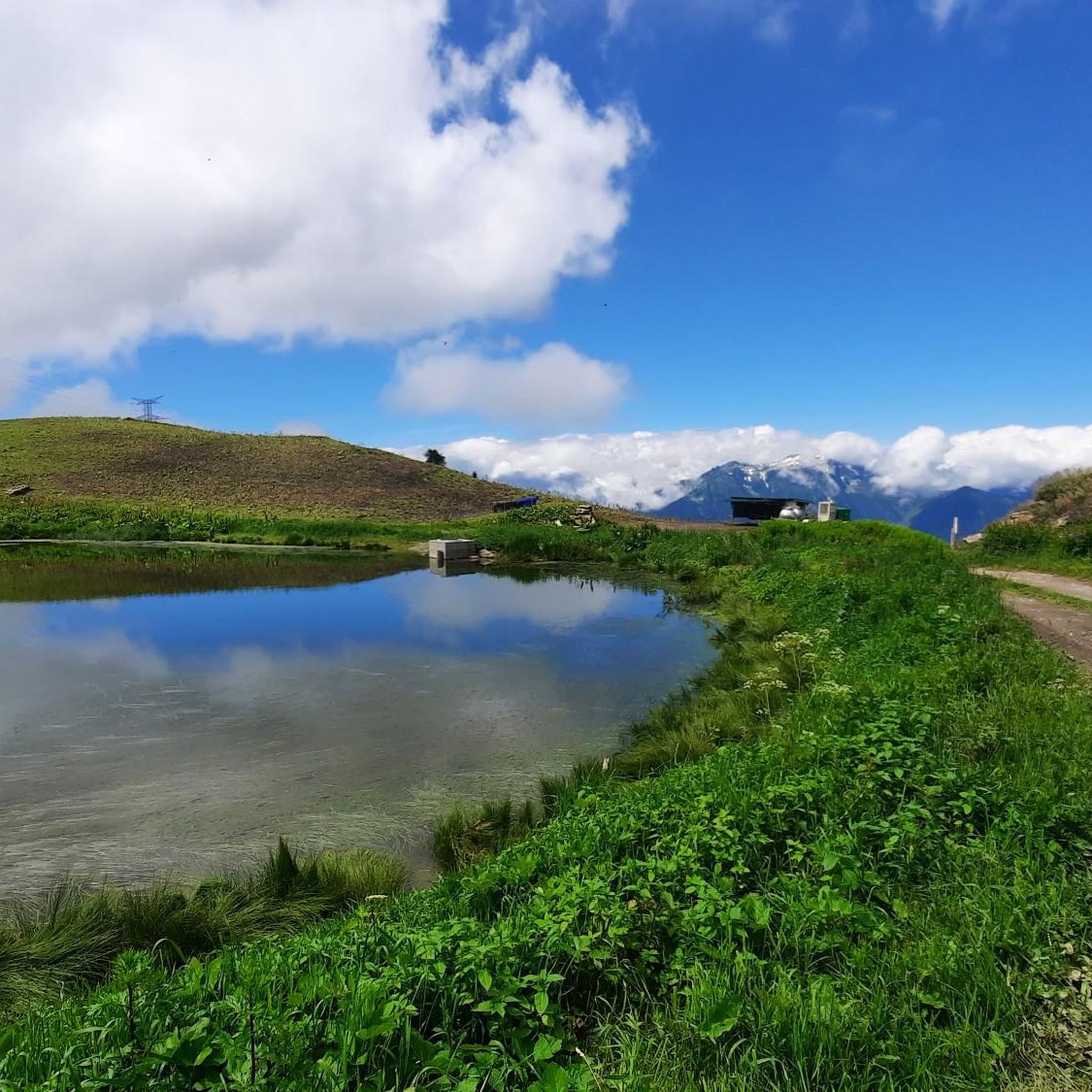
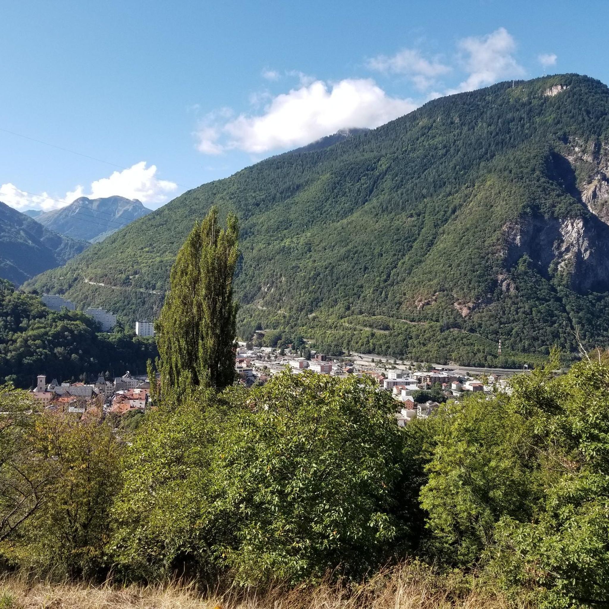
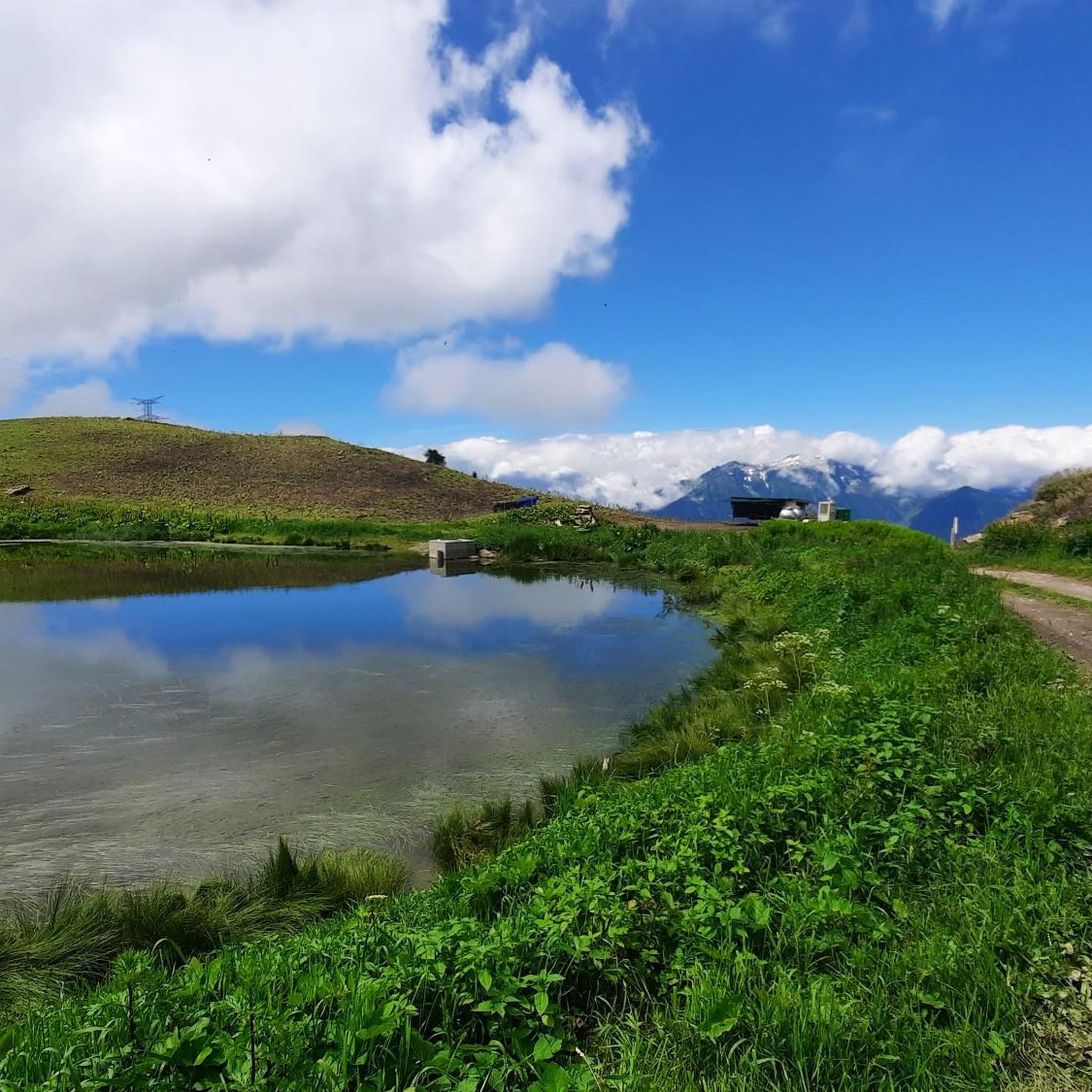
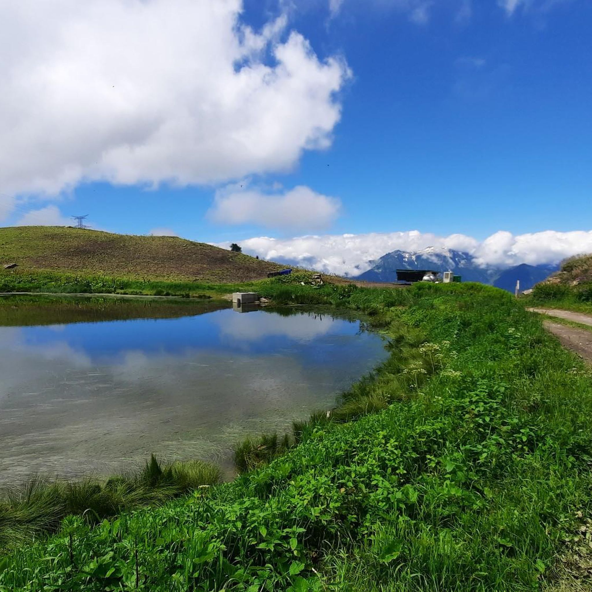


Tips from the Community


Bird's eye view of the impressive Morel Waterfall, the viewpoint is much more worth it than the view from below.
1
0
View of the impressive Morel Waterfall from below, in the continuity of the family path and easy to access. Not as good a viewpoint as the plunging view, accessible in the continuity of the more sporty path on the other side of the watercourse, which can be caught up by crossing the bridge a little lower down.
0
0

varied route to reach the waterfall. consider wearing a fluorescent top when hunting.
0
0
Frequently Asked Questions
What kind of running routes can I find around Aigueblanche?
Aigueblanche offers a diverse range of running routes, from gentle paths along the Isère River to more challenging climbs in the surrounding Alpine valleys. You'll find trails through peaceful forests and meadows, as well as routes offering stunning views of the Lauzière massif. The area features over 10 running routes, including 3 easy, 6 moderate, and 5 difficult options, catering to various fitness levels.
Are there easy running trails suitable for beginners or casual joggers in Aigueblanche?
Yes, Aigueblanche has several easy running trails perfect for beginners or those looking for a relaxed jog. These routes often wind through forests and meadows, such as those described as 'The hills of Aigueblanche' in local research, which are known for being family-friendly and not technically demanding. The region's network includes 3 easy routes to choose from.
Can I find running routes with significant elevation gain for a more challenging workout?
Absolutely. Aigueblanche is situated at the foot of the '3 Valleys' and offers routes with substantial elevation gain, reaching peaks up to 2,296 meters. For example, the Morel Waterfall loop from Saint-Oyen is a difficult 15.0-mile (24.2 km) path with over 1250 meters of ascent, providing a demanding workout amidst stunning scenery.
What natural features or landmarks can I expect to see along the running paths?
Joggers in Aigueblanche can enjoy a variety of natural features. The Isère River provides scenic riverside paths, while the Morel Valley offers views of the Lauzière massif and the beautiful Cascade du Morel (Morel Waterfall). You might also encounter the Column of Aigueblanche, a historical feudal column. For more challenging runs, routes in the Lauzière massif offer views extending as far as Mont Blanc. Additionally, you can explore nearby mountain passes like Cormet d'Arêches or peaks such as Le Grand Mont.
Are there any circular running routes available?
Yes, many of the running routes around Aigueblanche are circular, allowing you to start and finish at the same point. For instance, the popular Running loop from Saint-Oyen is a 7.0-mile (11.3 km) circular trail offering views of the Morel Valley. Another option is the Running loop from Le Bois, which takes you through forested areas.
What do other runners say about the trails in Aigueblanche?
The running routes in Aigueblanche are highly rated by the komoot community, with an average score of 4.3 stars from over 20 reviews. Reviewers often praise the varied terrain, from peaceful forest paths to scenic mountain views, and the well-maintained network of trails that cater to different abilities. Over 2000 runners have used komoot to explore the area's diverse landscapes.
Are the running trails in Aigueblanche suitable for families with children?
Yes, Aigueblanche offers family-friendly running options. Many routes through the forests and meadows, such as 'The hills of Aigueblanche,' are described as easy and suitable for all ages, without significant technical difficulty. These paths provide a pleasant and safe environment for running with children.
Is it possible to access running trails using public transport?
Aigueblanche is a well-connected town in the Savoie department. While specific public transport links directly to trailheads might vary, the town itself is accessible. For detailed information on local bus services or train connections to Aigueblanche, it's best to consult local transport authority websites or the Aigueblanche tourist office for the most up-to-date schedules and routes.
Are there specific parking areas for accessing the running routes?
While specific parking details for every trailhead are not always listed, Aigueblanche and its surrounding villages like Saint-Oyen and Le Bois, which serve as starting points for many routes, typically offer public parking facilities. It's advisable to check local signage or use navigation apps for parking options near your chosen starting point.
What is the best time of year to go running in Aigueblanche?
Aigueblanche offers running opportunities throughout much of the year due to its diverse terrain. Spring and autumn provide pleasant temperatures and beautiful scenery with changing foliage. Summer is ideal for higher-altitude routes, while lower valley paths remain accessible. Winter running is possible, especially on lower elevation trails, but higher mountain routes may require specific gear or be inaccessible due to snow.
Are dogs allowed on the running trails in Aigueblanche?
Generally, dogs are welcome on many outdoor trails in the Auvergne-Rhône-Alpes region, especially if kept on a leash. However, specific regulations can vary depending on the trail's location, especially within protected natural areas. It's always recommended to check local signage at trailheads or consult the local tourist information for any specific restrictions regarding dogs on particular routes.
Can I find running routes that pass by the Morel Waterfall?
Yes, the Morel Waterfall is a notable attraction in the area, and there are running routes that allow you to experience it. The Morel Waterfall loop from Grand-Aigueblanche is a moderate 8.7-mile (8.8 km) route that includes this scenic feature. Another option is the more challenging Morel Waterfall loop from Saint-Oyen.
Most popular routes around Aigueblanche
Most popular attractions around Aigueblanche

Get inspired with the komoot mobile app


Explore more
Browse the best Running Trails & Routes in other regions.
