The best walks and hikes around Esserts-Blay
4.5
(347)
4,323
hikers
137
hikes
Hiking around Esserts-Blay offers diverse landscapes within the Savoie department of France, characterized by mountainous terrain and the prominent Tarentaise Valley. The region features a network of trails traversing the Beaufortain and Bauges massifs, providing varied elevations and natural features. Hikers can explore routes along the Isère River, through forests, and to alpine pastures.
Best hiking trails around Esserts-Blay
- The most popular hiking route is Dent du Corbeau (2280 m) – Le Grand Arc loop from L'Ébaudiaz, a 9.6…
Last updated: July 11, 2026
4.3
(4)
27
hikers
8.66km
03:21
610m
620m
Moderate hike. Good fitness required. Easily-accessible paths. Suitable for all skill levels.
5.0
(1)
6
hikers
Hard hike. Good fitness required. Sure-footedness, sturdy shoes and alpine experience required.

Sign up for free
3
hikers
8.85km
04:22
710m
720m
Hard hike. Good fitness required. Sure-footedness, sturdy shoes and alpine experience required.
4.3
(4)
11
hikers
3.51km
01:03
120m
120m
Easy hike. Great for any fitness level. Easily-accessible paths. Suitable for all skill levels.
5.0
(1)
9
hikers
9.27km
04:26
690m
690m
Hard hike. Good fitness required. Sure-footedness, sturdy shoes and alpine experience required.
Get access to more routes and recommendations from other explorers.
Sign up for free
Already have an account?
Our route recommendations are based on thousands of hikes, rides, and runs completed by other people on komoot.
Start today with a free account
Your next adventure awaits.
Login or Signup


Tips from the Community

To the cycle tourist who invented his own pass.
0
0

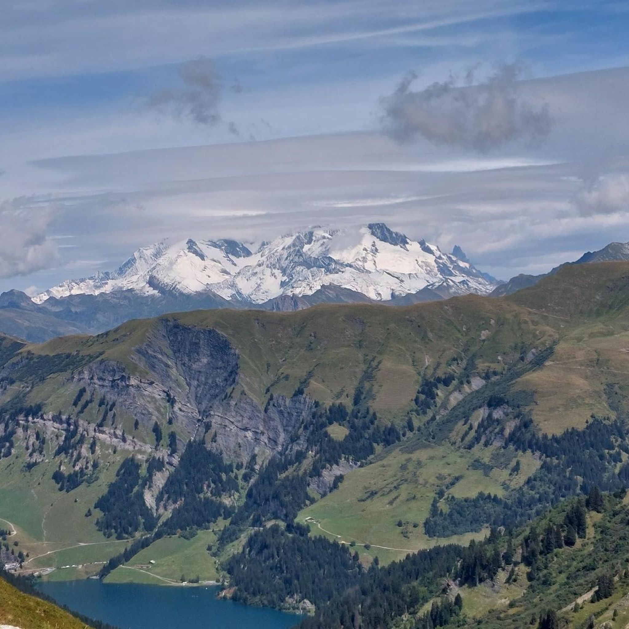
The descent to Queige is gravelly+++, a really not great surface but compensated by a superb view of Mont Blanc
1
0

Pass on a quiet road, very few cars. Not a great surface. The average slope is 7.6% with sections at 13%. No clear view at the top but a small stele dedicated to the creator of this pass. To do if you want to do some elevation gain.
0
0

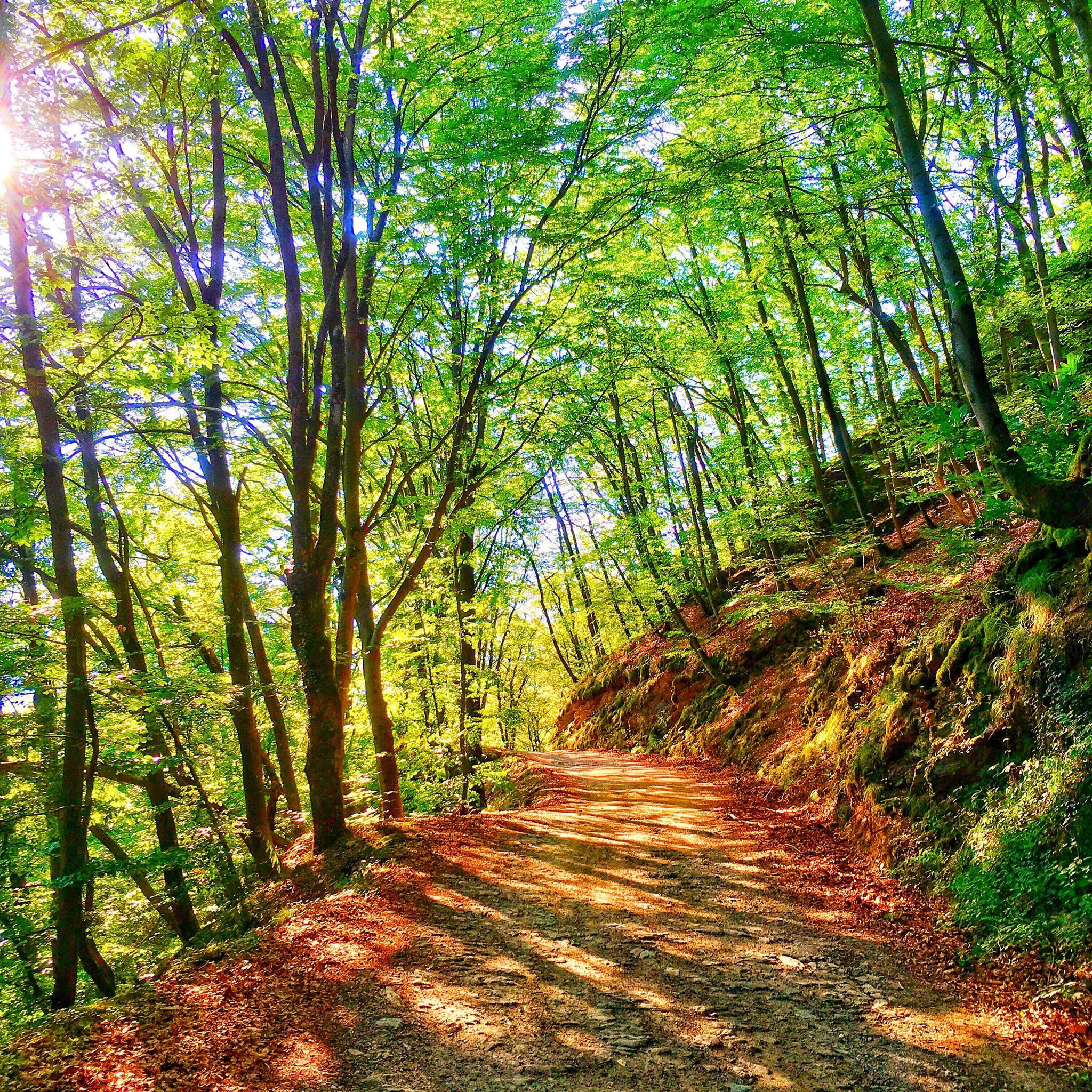
Although strictly speaking it's not a true mountain pass, the winding roads leading to the highest point offer fantastic, tree-lined driving conditions.
0
0

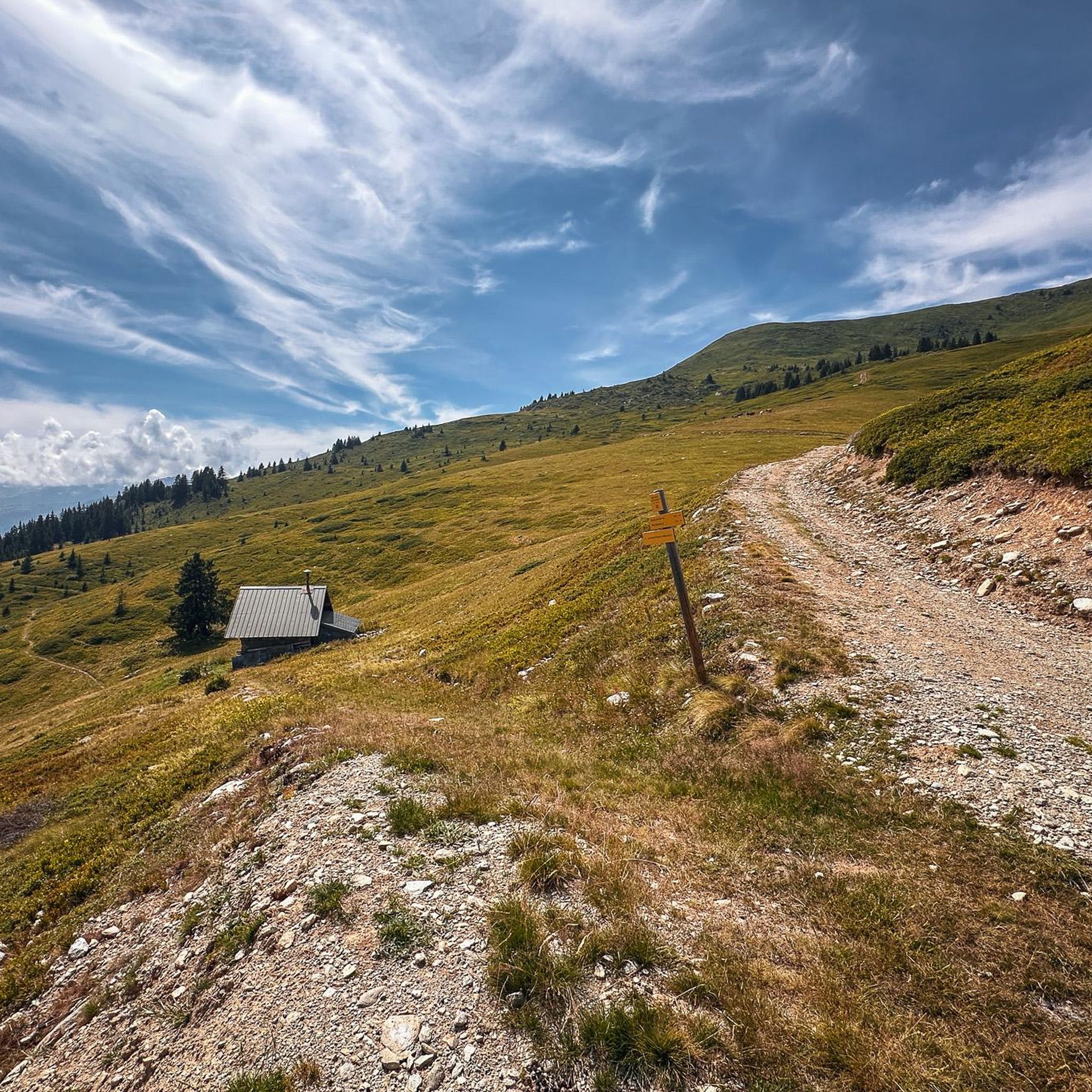
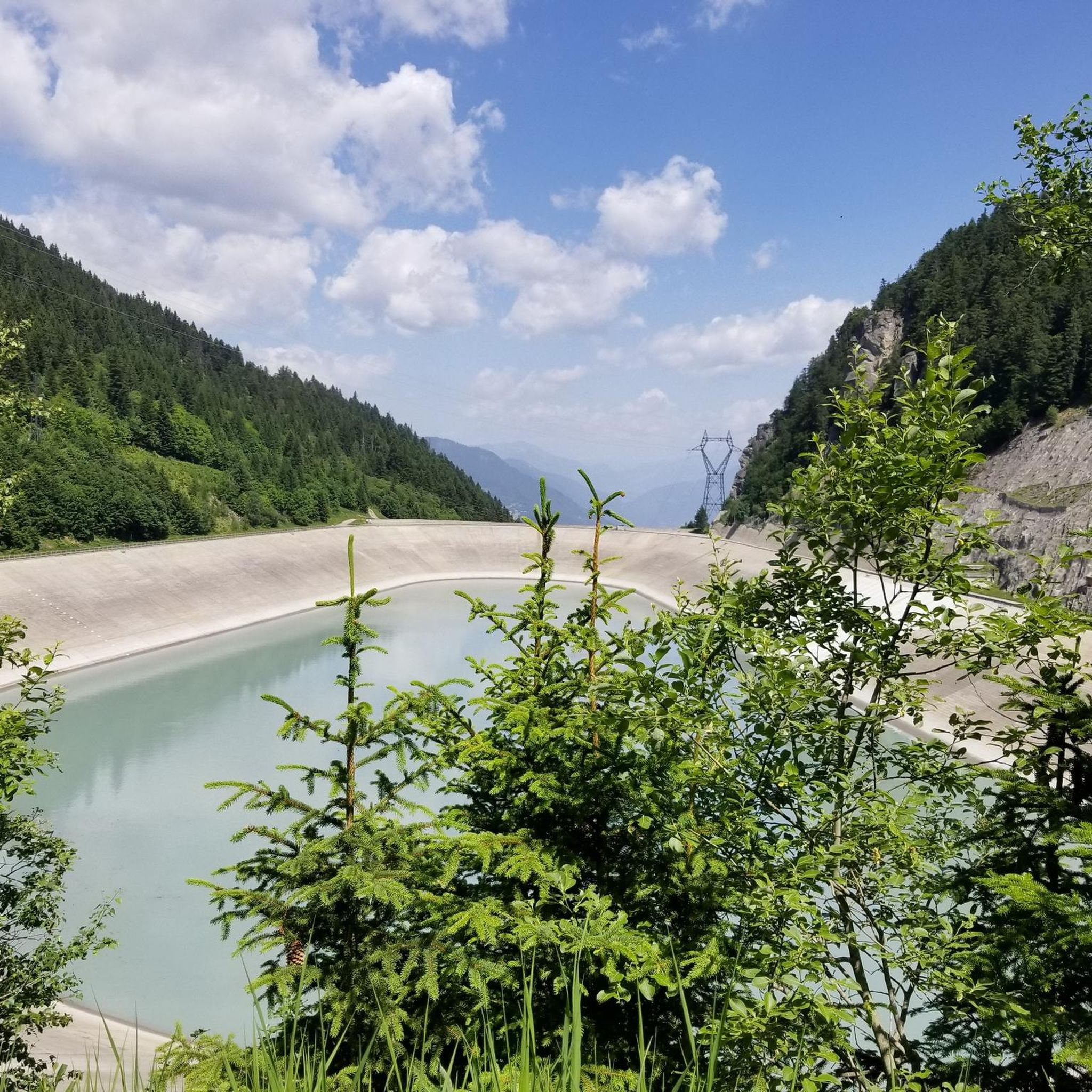
A small mountain lake with clear waters located near the Refuge de la Thuile.
0
0
The Grand Arc is located at 2,484 meters. From here there are splendid views of Mont Blanc, Vanoise and Bauges.
0
0


Magnificent ridge trail in the Lauzière massif
0
0
Frequently Asked Questions
How many hiking trails are available around Esserts-Blay?
Esserts-Blay offers a wide network of trails, with over 130 marked routes available for hiking. These trails cover more than 133 kilometers, providing diverse options for exploration.
Are there hiking options suitable for beginners or families in Esserts-Blay?
Yes, Esserts-Blay provides hiking options for all skill levels. There are over 30 easy routes, perfect for beginners or families looking for a more relaxed outdoor experience. These trails often feature gentle ascents and scenic views without demanding technical skills.
What kind of natural landscapes can I expect to see while hiking near Esserts-Blay?
Hiking around Esserts-Blay offers a variety of natural landscapes, from the prominent Tarentaise Valley to the stunning Beaufortain and Bauges massifs. You'll encounter forests, alpine meadows with wildflowers, and potentially spot wildlife like chamois or marmots. Many routes also feature streams and lakes, such as the Lac des Cornaches, adding to the scenic beauty.
Are there any circular hiking routes in the Esserts-Blay area?
Yes, there are several circular routes available. For example, the Cyclists' Pass loop from Venthon is a moderate 8.7 km path offering valley views. Another option is the Chalet de la Thuile – Dent du Corbeau (2280 m) loop from Massif du Grand Arc, a more challenging 6.5 km trail through the Massif du Grand Arc.
What are some notable landmarks or attractions I can visit while hiking?
Beyond the natural beauty, you can explore historical and cultural points of interest. Consider visiting the Tamié Pass, which is near the historic Notre-Dame de Tamié Abbey, known for its cheese. You might also hike to the La Belle-Étoile summit for panoramic views of the Bauges and Mont Blanc, or explore the ruins of the Château de Blay.
Are there any waterfalls to see on hikes around Esserts-Blay?
Yes, the Cascade du Bayet is a notable waterfall in the region. A hike to this picturesque waterfall can also be combined with a visit to the historical ruins of the Château de Blay in the lower Tarentaise valley, offering both natural beauty and a historical element.
What do other hikers enjoy most about the trails in Esserts-Blay?
The trails in Esserts-Blay are highly rated by the komoot community, with an average score of 4.6 stars from over 300 reviews. Hikers frequently praise the diverse terrain, from challenging mountain ascents to pleasant valley walks, and the stunning views of the Tarentaise Valley and surrounding massifs.
Can I bring my dog on the hiking trails in Esserts-Blay?
Many trails in the Esserts-Blay area are dog-friendly, allowing you to enjoy the outdoors with your canine companion. However, it's always recommended to keep dogs on a leash, especially in areas with wildlife or livestock, and to check specific trail regulations before you go.
Are there any specific places to explore near lakes or water bodies?
Yes, the region features several lakes and water bodies. You can find routes that lead to the Grignon Lake or Lac Brassa. The Lakes Pass is also a highlight for those seeking water-centric scenery.
What is the best time of year to go hiking in Esserts-Blay?
The best time for hiking in Esserts-Blay is generally from late spring to early autumn (May to October), when the weather is mild, and the alpine meadows are in bloom. Summer offers warmer temperatures, while autumn provides vibrant foliage. Some lower-elevation trails may be accessible in winter for snowshoeing, but higher mountain routes can be challenging due to snow and ice.
Is there public transport available to reach hiking trailheads?
While specific public transport options directly to every trailhead might be limited, the region is situated above the Tarentaise Valley, which has some transport links. It's advisable to check local bus schedules or consider driving to access the more remote starting points for hikes. Many trails are also accessible from villages surrounding Esserts-Blay.
Are there any places to stop for refreshments or accommodation along the trails?
Yes, some hiking routes pass by refuges or chalets where you can rest and potentially find refreshments. The Chalet de la Cense is a well-known refuge in the region, popular among hikers. For more extensive options, nearby villages offer cafes, pubs, and accommodation.
Where can I find parking for hiking trails in Esserts-Blay?
Parking is generally available at or near popular trailheads and in the villages surrounding Esserts-Blay. Specific parking information for individual routes can often be found on detailed trail maps or online resources. It's recommended to arrive early during peak season to secure a spot.
Most popular routes around Esserts-Blay
Most popular attractions around Esserts-Blay

Get inspired with the komoot mobile app


Explore more
Browse the best Hikes in other regions.
