The best running trails around Randens
4.2
(13)
466
runners
44
runs
Jogging routes Randens are set within the mountainous landscape of Savoie, France. The region features significant elevation changes, with trails ascending into the hills and offering views of the surrounding valleys. Water bodies like the Étang de Grésy also form part of the natural environment, providing varied terrain for runners. This area is characterized by its alpine foothills and a mix of open and forested sections.
Best jogging routes around Randens
- The most popular jogging route is Grand Arc and…
Last updated: July 1, 2026
5.0
(1)
11
runners
15.0km
03:27
1,360m
1,360m
Hard run. Very good fitness required. Sure-footedness, sturdy shoes and alpine experience required.
9
runners
10.8km
01:10
80m
80m
Moderate run. Good fitness required. Mostly paved surfaces. Suitable for all skill levels.

Sign up for free
7
runners
14.2km
01:32
190m
190m
Moderate run. Good fitness required. Mostly paved surfaces. Suitable for all skill levels.
5
runners
5.37km
00:39
110m
110m
Moderate run. Good fitness required. Mostly paved surfaces. Suitable for all skill levels.
6
runners
5.98km
00:37
20m
20m
Moderate run. Good fitness required. Mostly paved surfaces. Suitable for all skill levels.
Get access to more routes and recommendations from other explorers.
Sign up for free
Already have an account?
Our route recommendations are based on thousands of hikes, rides, and runs completed by other people on komoot.
Start today with a free account
Your next adventure awaits.
Login or Signup
Tips from the Community

The place is clean and pleasant. There's room for everyone: fishermen, walkers, swimmers, cyclists...
0
0
The place is nice and clean. Ideal for fishing and plenty of room for swimming. A greenway runs alongside the pond...
0
0

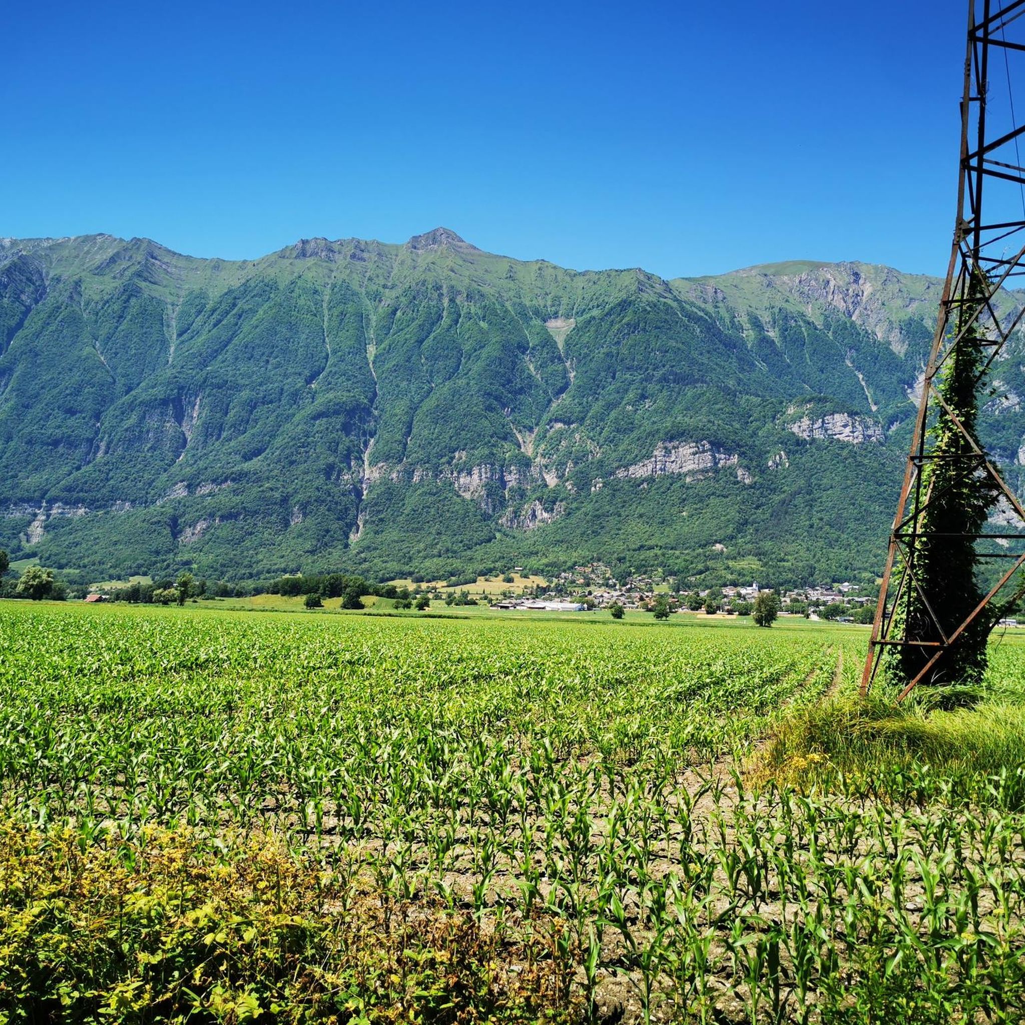
A cycle path at the bottom of the Grésivaudan valley. You can drive from Albertville to Montmélian.
2
0
The pond of Grésy is a beautiful place to enjoy the sun. There is an area for fishing, an area for swimming and also a restaurant by the lake. The cycle path that runs along the valley passes through here.
2
0

Restaurant the fisherman's hut pleasant setting very good food, always the best in the world and to book before!! I recommend!
1
0

A small mountain lake with clear waters located near the Refuge de la Thuile.
0
0
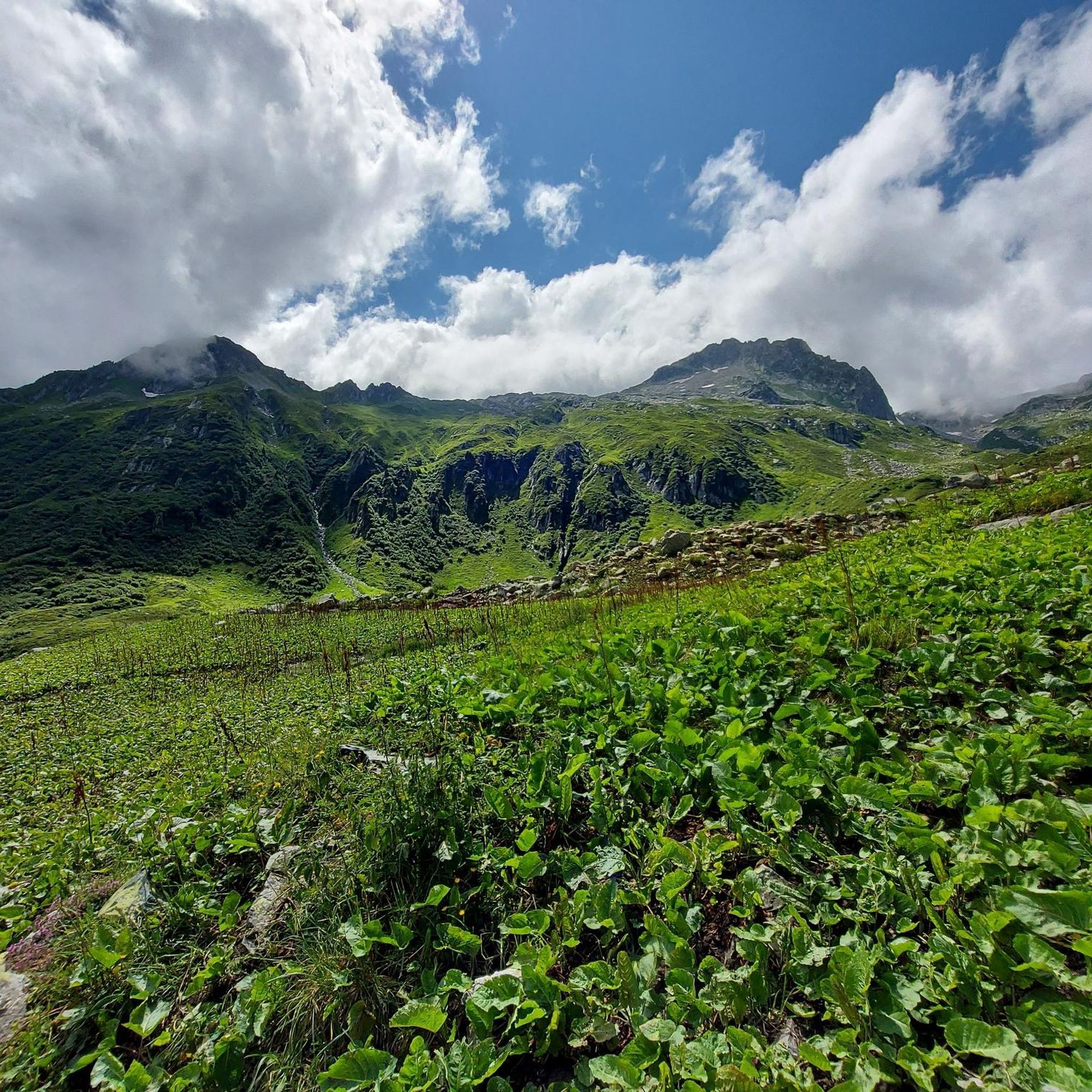
The Grand Arc is located at 2,484 meters. From here there are splendid views of Mont Blanc, Vanoise and Bauges.
0
0

Frequently Asked Questions
How many running routes are available around Randens?
There are over 45 running routes available around Randens, offering a variety of options for different skill levels and preferences. You'll find everything from moderate paths to more challenging trails with significant elevation gain.
What is the general difficulty level of jogging trails in Randens?
The jogging trails in Randens range from moderate to difficult. While there are 2 easy routes, the majority are moderate (29 routes) or difficult (16 routes), reflecting the region's mountainous landscape and significant elevation changes. For a flatter option, consider the Étang de Grésy loop from Grésy-sur-Isère.
Are there any family-friendly running routes in Randens?
While many routes in Randens feature significant elevation, some moderate trails can be suitable for families looking for a less strenuous run. The Étang de Grésy loop from Grésy-sur-Isère, for example, offers a flatter profile around a local pond, making it a good option for a family outing.
What kind of natural features or landmarks can I expect to see along the running routes?
The running routes around Randens offer diverse scenery. You'll encounter mountainous ascents, scenic lake loops, and paths passing historical landmarks. Notable natural features include the Étang de Grésy, and you might pass historical sites like Fort Montgilbert. The region is characterized by its alpine foothills and a mix of open and forested sections.
Are there any circular running routes in Randens?
Yes, many of the running routes in Randens are circular, allowing you to start and finish at the same point. Examples include the challenging Grand Arc and La Thuile Loop, the moderate Étang de Grésy loop from Grésy-sur-Isère, and the Château Rochette loop from Aiton.
What do other runners enjoy most about jogging in Randens?
The running trails in Randens are highly rated by the komoot community, with an average score of 3.8 stars from over 11 reviews. Runners often praise the varied terrain, from mountainous ascents to scenic lake loops, and the opportunities to explore historical landmarks. Over 340 runners have used komoot to explore the area's diverse landscapes.
Are there any easy or beginner-friendly jogging routes in Randens?
While Randens is known for its mountainous terrain, there are a couple of easier routes available. For beginners or those seeking a less strenuous run, the Étang de Grésy loop from Grésy-sur-Isère is a moderate path with a flatter profile, making it a good starting point.
Can I find routes with good viewpoints for scenic jogging?
Absolutely. Given Randens' mountainous landscape in Savoie, France, many trails ascend into the hills, offering excellent views of the surrounding valleys. Routes like the Grand Arc and La Thuile Loop provide significant elevation gain, which often translates to panoramic vistas.
Are there any specific routes that are less crowded?
While specific crowd levels can vary, exploring some of the less popular moderate routes, such as the Running loop from Saint-Alban-d'Hurtières or the Bike path loop from Grésy-sur-Isère, might offer a more tranquil experience compared to the most well-known trails.
What is the typical length of jogging trails in Randens?
The jogging trails in Randens vary significantly in length. You can find shorter routes like the Running loop from Saint-Alban-d'Hurtières at around 5.4 km, up to longer, more challenging trails such as the Grand Arc and La Thuile Loop, which is about 15 km.
Are there any trails that follow a bike path, suitable for running?
Yes, there are routes that utilize bike paths which can be excellent for running. The Bike path loop from Grésy-sur-Isère is a moderate 6 km route that offers a smooth surface, ideal for a steady run.
Most popular attractions around Randens

Get inspired with the komoot mobile app


Explore more
Browse the best Running Trails & Routes in other regions.
