The best walks and hikes around Biberist
4.4
(437)
3,757
hikers
25
hikes
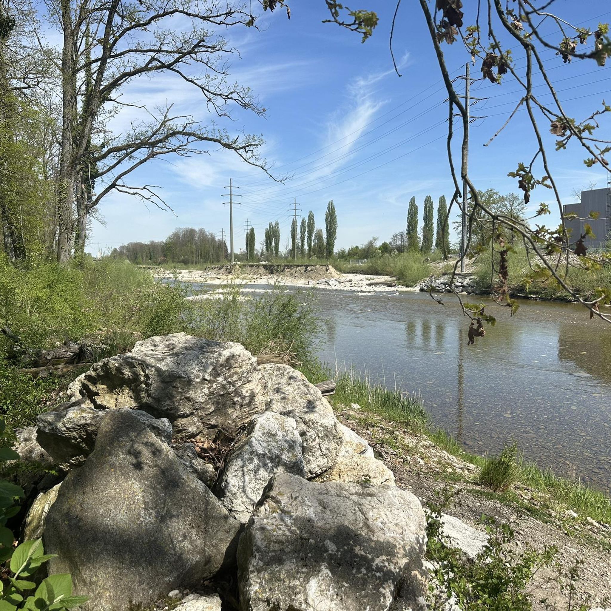
Hiking around Biberist offers diverse routes through the picturesque Wasseramt valley, characterized by its river landscapes along the Emme and Aare. The region features paths through forests and fields, providing views towards the Jura chain and the distant Alps. Its central location allows for varied hiking experiences, from leisurely riverside walks to routes with moderate elevation changes.
Best hiking trails around Biberist
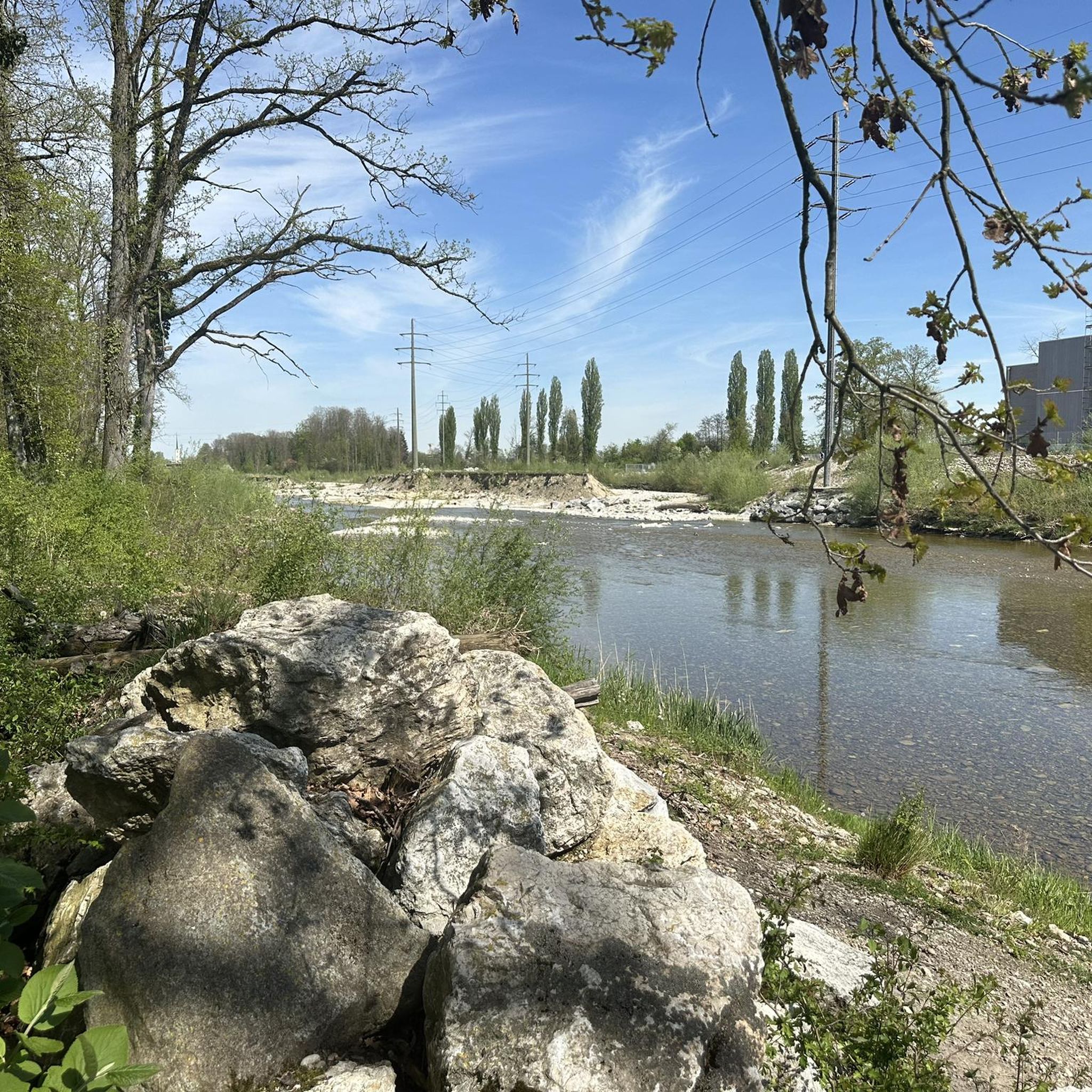
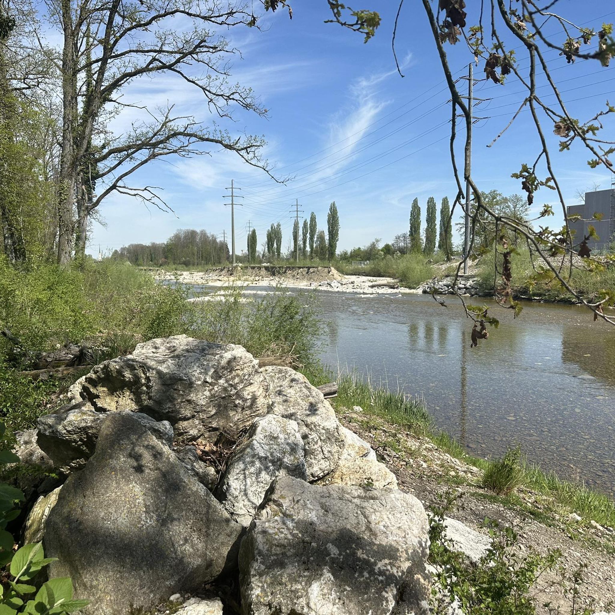
- The most popular hiking route is Emme River loop from Biberist Ost, a 2.4 miles (3.9 km) trail that takes 1 hour to complete. This easy route follows the Emme River, offering a gentle riverside experience.
- Another top favourite among local hikers is Emme River Flood Protection – Duck Pond and Aviary Bern loop from Biberist Ost, a moderate 6.4 miles (10.2 km) path. This trail explores the Emme River area, passing by a duck pond and aviary.
- Local hikers also love the Bierhöhlen of Biberist – Boundary Stone 1824 loop from Solothurn, a 6.9 miles (11.1 km) trail leading through varied terrain including the Bierhöhlen, often completed in about 3 hours.
- Hiking around Biberist is defined by its riverbanks along the Emme and Aare, local forests, and views of the Jura mountains. The network offers options for different ability levels, from easy riverside strolls to moderate routes with more elevation.
- The routes in Biberist are highly rated by the komoot community with an average score of 4.4 stars from over 350 reviews. More than 3,400 hikers have used komoot to explore Biberist's varied terrain.
Last updated: September 30, 2026
2.3
(3)
52
hikers
3.89km
01:00
10m
10m
Easy hike. Great for any fitness level. Easily-accessible paths. Suitable for all skill levels.
4.7
(6)
25
hikers
Moderate hike. Good fitness required. Easily-accessible paths. Suitable for all skill levels.

5.0
(1)
6
hikers
11.1km
03:01
170m
170m
Moderate hike. Good fitness required. Easily-accessible paths. Suitable for all skill levels.
16
hikers
Easy hike. Great for any fitness level. Easily-accessible paths. Suitable for all skill levels.
9
hikers
5.28km
01:25
60m
60m
Easy hike. Great for any fitness level. Easily-accessible paths. Suitable for all skill levels.
Get access to more routes and recommendations from other explorers.
Already have an account?
Our route recommendations are based on thousands of hikes, rides, and runs completed by other people on komoot.
Start today with a free account
Your next adventure awaits.

Tips from the Community

Solothurn really has a very worthwhile old town!
0
0

Beautiful place on the Aare near Solothurn.
0
0

Good alternative to the busy bridges.
0
0


The St. George Fountain, dating from 1548, originally stood on Gurzelngasse and was moved to the quieter Kornmarkt (now Börsenplatz) in 1777. The fountain trough is hewn from a single piece of Jura limestone. Above the baluster-like, twisted and fluted column on the canopy capital, with its angels blowing shawms behind mythical creatures, stands the fountain figure by Laurent Perroud from Le Landeron. It depicts St. George in armor, with the dragon, and the king's daughter.
3
0

Drink a Kilkannan in the pub
0
0


Frequently Asked Questions
How many hiking trails are available around Biberist?
Biberist offers a diverse network of over 25 hiking routes. These range from easy riverside strolls to more moderate paths with some elevation, ensuring options for various fitness levels.
What kind of landscapes can I expect to see while hiking in Biberist?
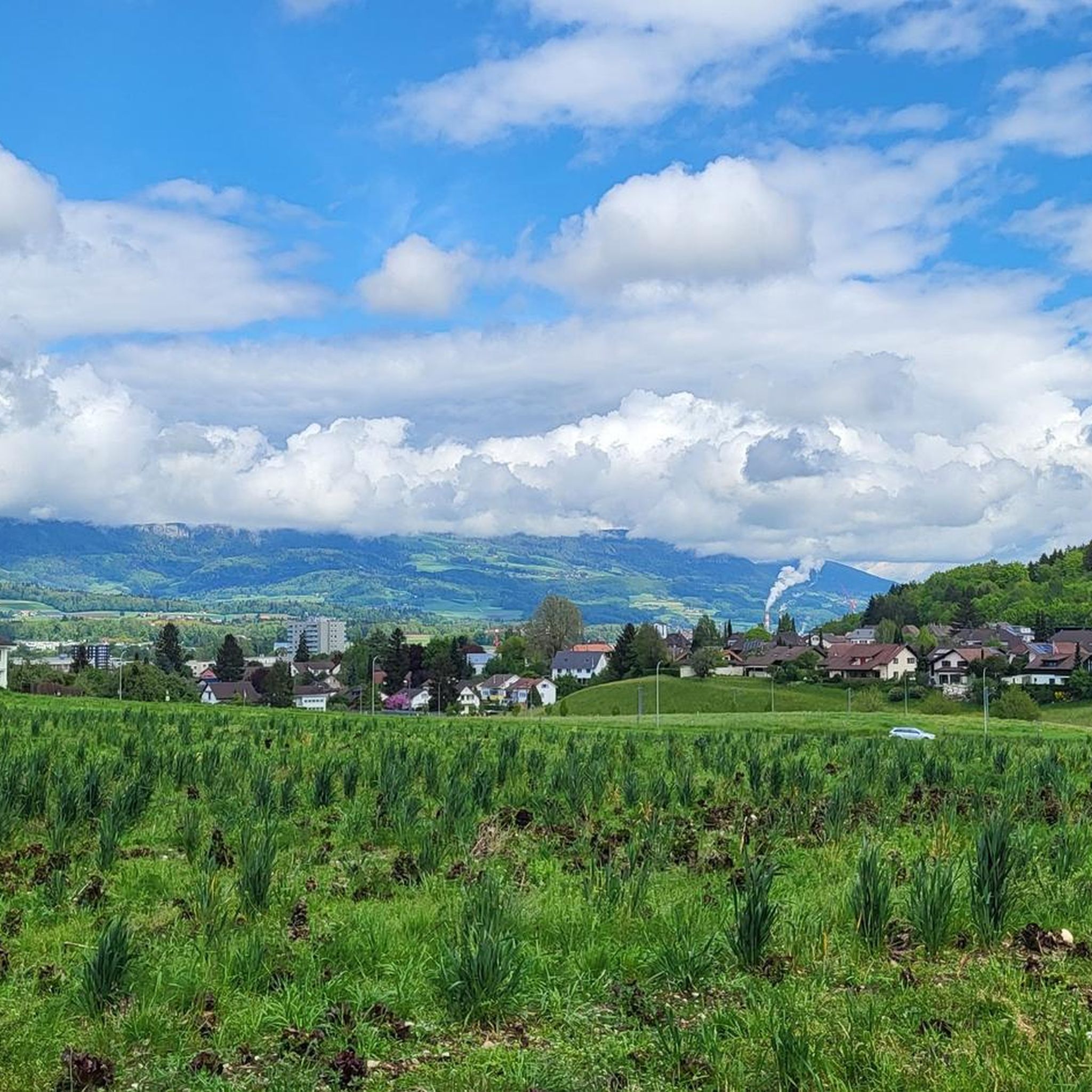
Hiking in Biberist provides varied scenery, including picturesque river landscapes along the Emme and Aare, paths through local forests and fields, and panoramic views towards the Jura chain and the distant Swiss Alps. You can also explore areas like the Grenchenberg reservoir and the Buechibärg region.
Are there any easy, family-friendly hikes in Biberist?
Yes, Biberist has many easy and family-friendly options. Riverside walks along the Aare from Solothurn to Selzach are particularly suitable. An example is the Aarequai Solothurn – Aare Footbridge loop, which is just over 2 km and very gentle.
Are there any circular walks available in Biberist?
Absolutely. Many routes in Biberist are circular, allowing you to start and end in the same location. A popular choice is the Emme River loop from Biberist Ost, an easy 3.9 km trail that takes about an hour to complete.
What are some notable natural attractions or viewpoints near Biberist?
The region boasts several natural highlights. You can visit the impressive Verenaschlucht and Hermitage, or the Wolf Gorge. For stunning vistas, the Weissenstein viewpoint offers breathtaking views of the Alps.
Are there any lakes or water features to explore on hikes around Biberist?
Yes, the area features several beautiful lakes and rivers. The Emme and Aare rivers are central to many routes, offering pleasant riverside paths. You can also discover serene lakes such as Lake Burgäschi or the Bellacher Weiher, which are great for a peaceful stop.
What do other hikers say about the trails in Biberist?
The hiking routes in Biberist are highly regarded by the komoot community, with an average rating of 4.4 stars from over 350 reviews. Hikers often praise the diverse river landscapes, the well-maintained paths through forests and fields, and the scenic views of the Jura mountains and distant Alps.
Are there any longer or more challenging routes for experienced hikers?
While Biberist primarily offers easy to moderate trails, some routes provide a bit more challenge. The Bierhöhlen of Biberist – Boundary Stone 1824 loop from Solothurn is a moderate 11.1 km trail with over 160 meters of elevation gain, offering varied terrain. For more demanding experiences, the nearby Jura High Trail presents significant panoramas and rock formations.
Can I combine hiking with other activities like a boat trip?
Yes, during the summer months, you can enjoy attractive paths along the Aare river and then take an Aare boat back to Solothurn, offering a unique way to experience the region's waterways.
Are there any specific trails that pass by unique local features?
The Emme River Flood Protection – Duck Pond and Aviary Bern loop from Biberist Ost is a moderate 10.2 km path that explores the Emme River area, passing by a duck pond and an aviary, offering a chance to observe local wildlife.
What is the best time of year to hike in Biberist?
Biberist offers pleasant hiking experiences throughout much of the year. Spring and autumn provide comfortable temperatures and beautiful scenery with blooming flowers or vibrant foliage. Summer is ideal for riverside walks and combining hikes with boat trips, while winter can offer serene, snow-covered landscapes for those prepared for colder conditions.
Most popular routes around Biberist
Most popular attractions around Biberist

Get inspired with the komoot mobile app


Explore more
Browse the best Hikes in other regions.
