The best running trails around Peyrecave
5.0
(1)
81
runners
23
runs
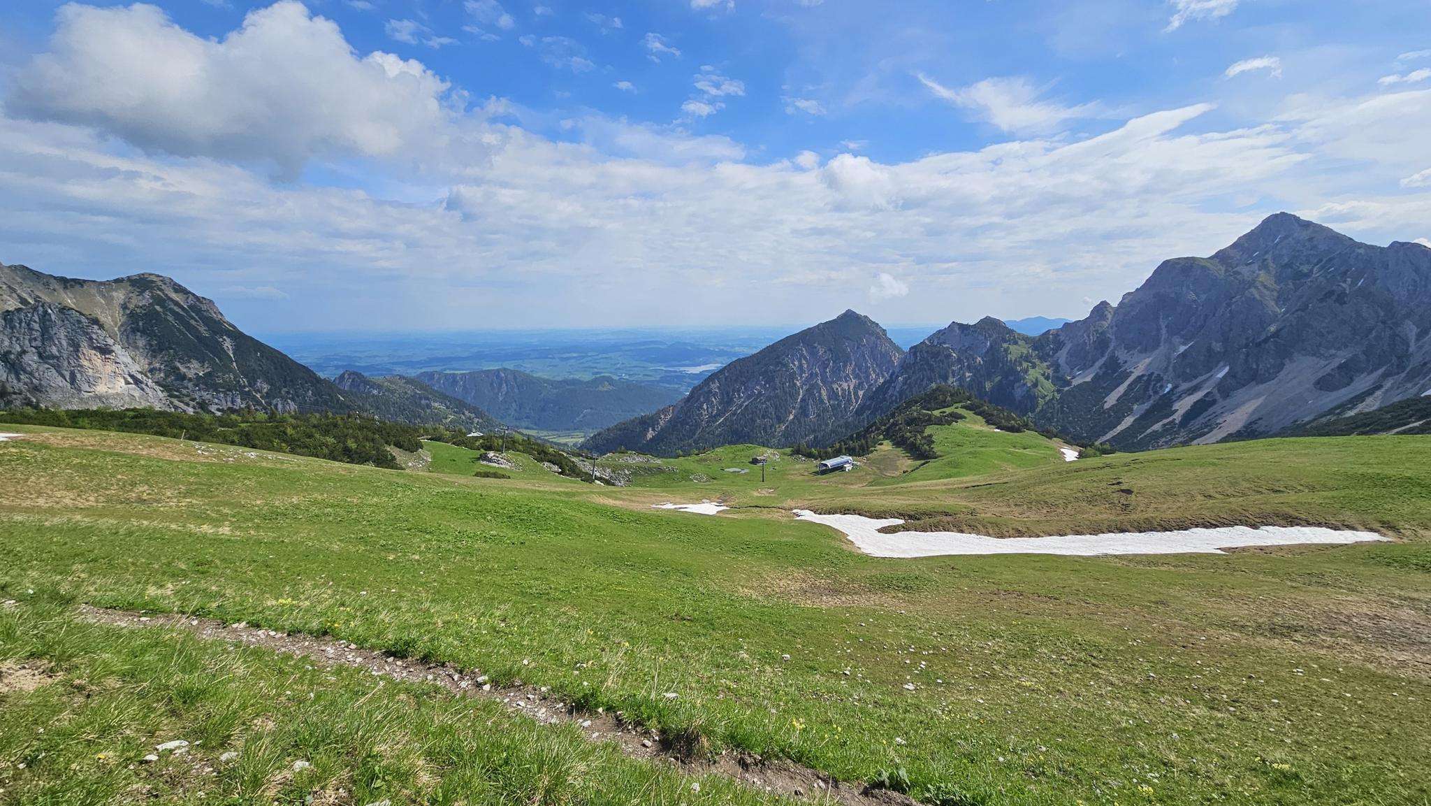
Jogging routes around Peyrecave offer a tranquil setting within the Gers department of southwestern France, characterized by picturesque landscapes and natural features. The region features rolling hills and gentle slopes, with elevations ranging from 73 to 147 meters, providing varied intensity for runners. The landscape is defined by its rural charm, agricultural lands, and the presence of the Arrats river, creating a serene backdrop for outdoor exercise. This low-density commune allows for peaceful running away from urban bustle, connecting runners…
Last updated: June 29, 2026
7
runners
5.97km
00:38
70m
70m
Moderate run. Good fitness required. Mostly paved surfaces. Suitable for all skill levels.
6
runners
6.09km
00:38
70m
70m
Moderate run. Good fitness required. Mostly paved surfaces. Suitable for all skill levels.

Sign up for free
6
runners
7.19km
00:46
90m
90m
Moderate run. Good fitness required. Mostly paved surfaces. Suitable for all skill levels.
4
runners
7.82km
00:51
130m
130m
Moderate run. Good fitness required. Mostly paved surfaces. Suitable for all skill levels.
3
runners
10.2km
01:07
150m
160m
Moderate run. Good fitness required. Mostly paved surfaces. Suitable for all skill levels.
Get access to more routes and recommendations from other explorers.
Sign up for free
Already have an account?
Our route recommendations are based on thousands of hikes, rides, and runs completed by other people on komoot.
Start today with a free account
Your next adventure awaits.
Login or Signup

Frequently Asked Questions
What types of running trails can I expect around Peyrecave?
The running trails around Peyrecave are characterized by rolling hills, quiet country roads, and expansive agricultural lands. The terrain offers a mix of gentle slopes and slight inclines, providing varied intensity without being overly strenuous. You'll find options for easy, moderate, and difficult runs, catering to various ability levels.
How many jogging routes are available in the Peyrecave area?
There are over 20 dedicated jogging routes available around Peyrecave, offering a wide range of options for runners of all levels. These routes are highly rated by the komoot community, with an average score of 5.0 stars.
Are there any easy running routes suitable for beginners in Peyrecave?
Yes, Peyrecave offers several easy running routes perfect for beginners or those looking for a relaxed jog. For instance, the area features 2 routes specifically graded as easy, allowing you to enjoy the tranquil rural landscapes without significant challenge.
What are some of the longer running routes available near Peyrecave?
For those seeking a longer run, the Running loop from Mansonville is a great option. It covers approximately 6.5 miles (10.4 km) and features an elevation gain of around 155 meters, offering a moderate challenge through scenic agricultural lands.
Can I find circular running routes in Peyrecave?
Yes, many of the running routes in Peyrecave are designed as circular loops, allowing you to start and finish at the same point. Examples include the Running loop from Sérilhac and the Running loop from Marsac, both offering beautiful circuits through the countryside.
What kind of natural features or scenery will I encounter on the running trails?
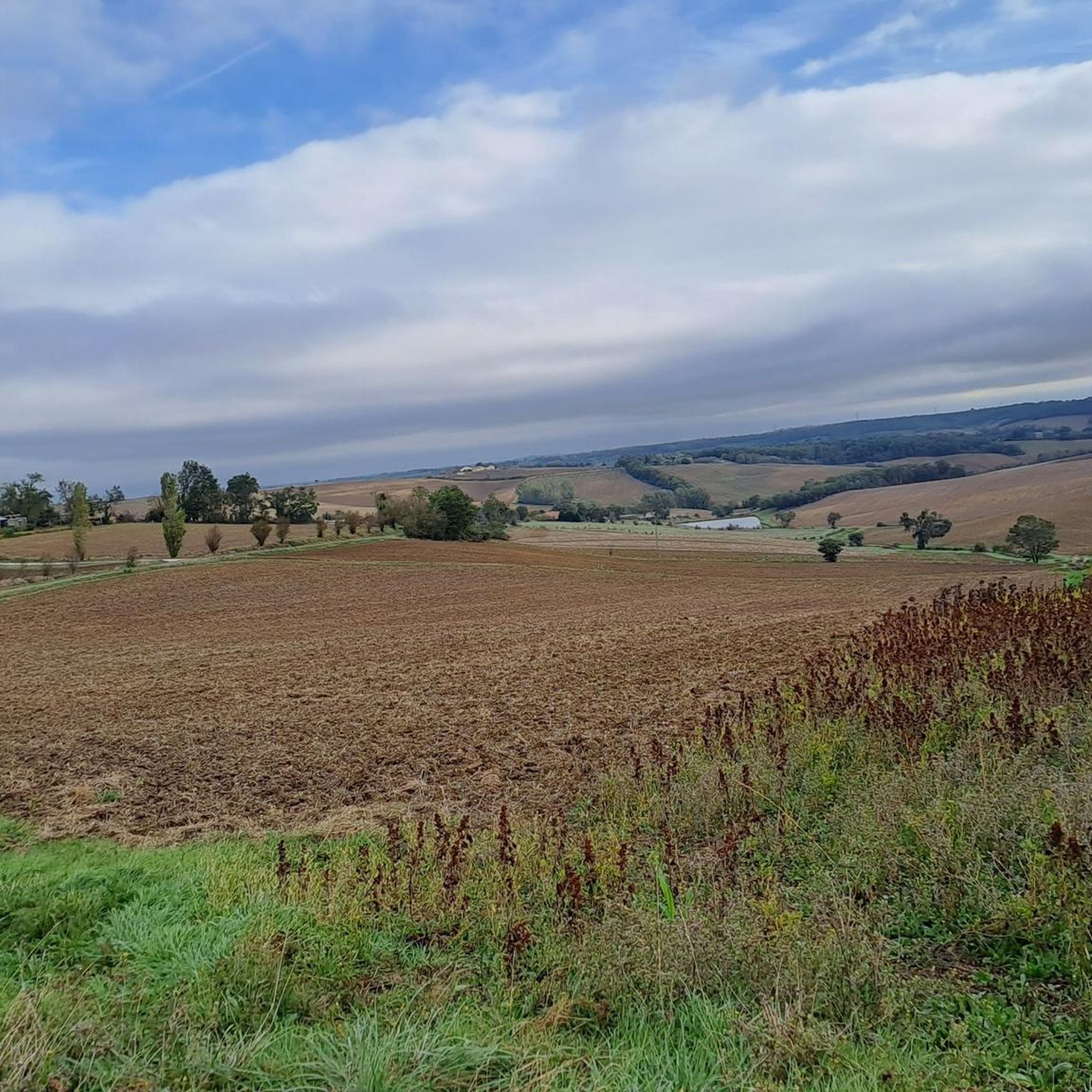
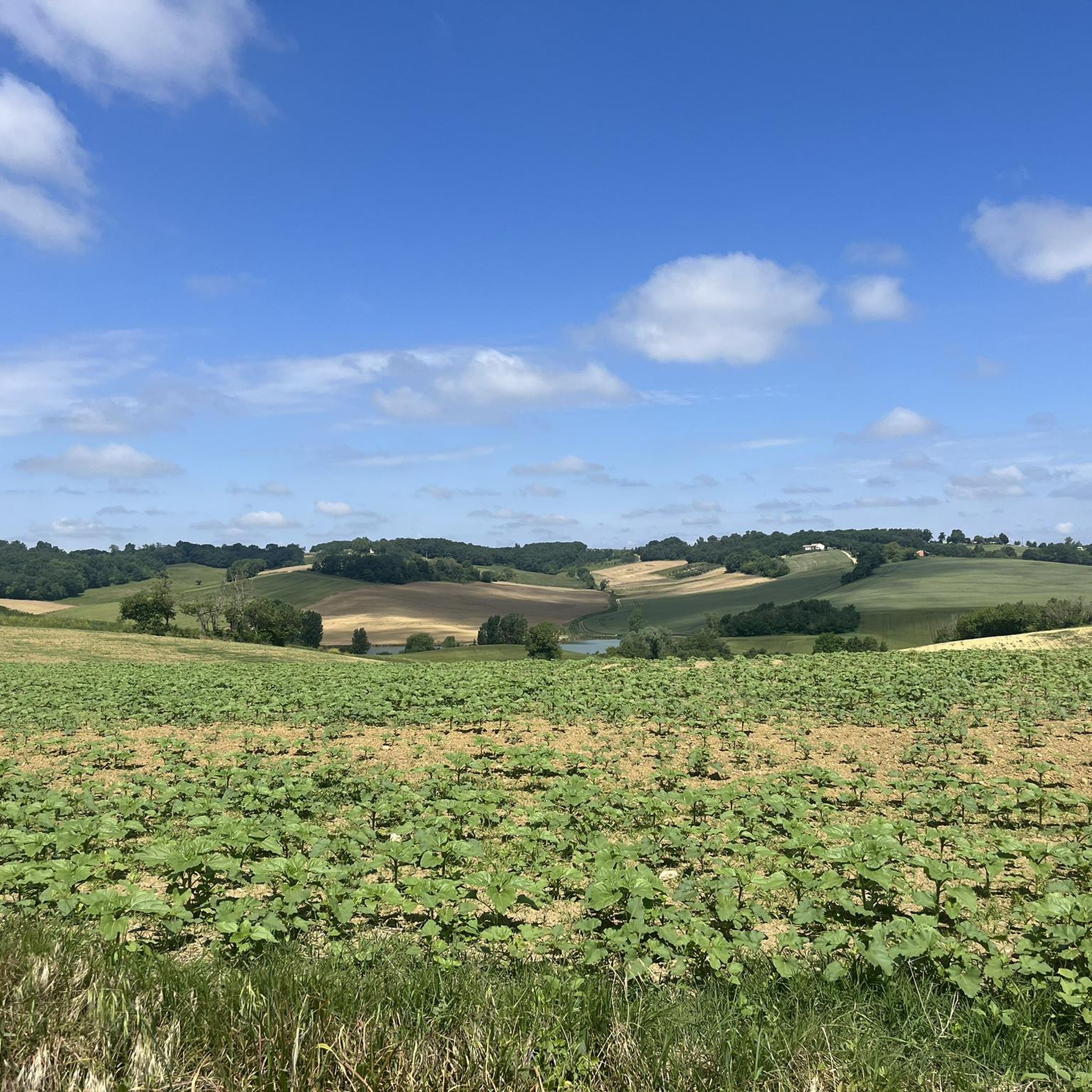
The running trails in Peyrecave traverse the picturesque 'French Tuscany' of the Gers department. You'll enjoy views of rolling agricultural lands, scattered woodlands, and the serene Arrats river, which flows through the commune. The landscape is rich in rural charm and natural beauty.
Are there any notable landmarks or attractions near the running routes?
While running, you might encounter charming rural architecture and small villages. For specific points of interest, consider exploring nearby highlights such as the Saint-Saturnin Church or the historic Flamarens Castle, which offer glimpses into the region's heritage.
Is Peyrecave suitable for family-friendly jogging?
Peyrecave's tranquil rural setting and the availability of easy, less strenuous routes make it suitable for family-friendly jogging. The quiet country roads and paths provide a safe and enjoyable environment for all ages to experience the outdoors.
What is the best time of year to go jogging in Peyrecave?
The region's mild climate generally makes it pleasant for jogging throughout much of the year. Spring and autumn offer particularly comfortable temperatures and vibrant scenery. Even in winter, the rural paths can be enjoyable, though conditions may vary.
What do other runners appreciate most about the routes in Peyrecave?
The komoot community highly rates the running routes in Peyrecave, with an average score of 5.0 stars from reviewers. Runners often praise the tranquil setting, the picturesque 'French Tuscany' landscapes, and the peaceful escape from urban bustle that the area provides.
Are there any challenging running trails for experienced runners?
While many routes are moderate, the varied terrain with its rolling hills offers opportunities for more challenging runs. The area includes 1 route graded as difficult, and several moderate routes with significant elevation changes, such as the Running loop from Saint-Créac, which features over 115 meters of ascent.
What is the typical elevation gain on running routes in Peyrecave?
The elevation on routes around Peyrecave generally ranges from 73 to 147 meters, offering a mix of gentle slopes and slight inclines. For example, the Mauroux Village loop from Mauroux has an elevation gain of approximately 83 meters.
Most popular attractions around Peyrecave

Get inspired with the komoot mobile app


Explore more
Browse the best Running Trails & Routes in other regions.
