Top 9 Mountain Passes around Perpezat
Best mountain passes around Perpezat are found within the Auvergne Volcanoes regional natural park in the Puy-de-Dôme department of France. This region features a mountainous landscape with forests and valleys. The area offers opportunities for cycling and hiking, providing panoramic views of the volcanic terrain. It is known for its preserved natural sites and numerous trails.
Best mountain passes around Perpezat
- The most popular mountain pass is Route du col de la Croix Saint-Robert, a mountain pass that is…
Last updated: June 26, 2026
Courre Pass
Highlight • Mountain Pass
It makes the junction between the paths that lead to …
Translated by Google •
Tip by

Route du col de la Croix Saint-Robert
Highlight (Segment) • Mountain Pass
Translated by Google •
Tip by

Sign up now to discover places like this
Get recommendations on the best single tracks, peaks, & plenty of other exciting outdoor places.
Sign up for free
Croix Morand Pass
Highlight • Mountain Pass
Translated by Google •
Tip by

Guéry Pass
Highlight • Mountain Pass
Translated by Google •
Tip by

Donkey's Pass
Highlight • Mountain Pass
Be careful, this part of the path can be dizzying.
In winter, it is accessible by chairlift.
Translated by Google •
Tip by
Sign up for free to discover even more mountain passes around Perpezat.
Sign up for free
Already have an account?
Start today with a free account
Your next adventure awaits.
Login or Signup


Tips from the Community

A challenge with full luggage, as the Robert Pass is currently closed. Traffic was quite bearable. The pass hut was rather busy, but it was also Whitsun. I can't imagine what would have been like if the weather had been perfect.
0
0


A little difficult given the snow still present but a magnificent view!
0
0


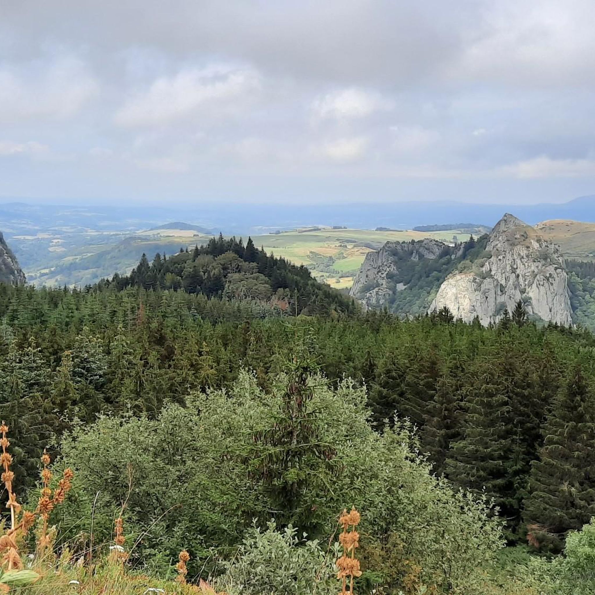
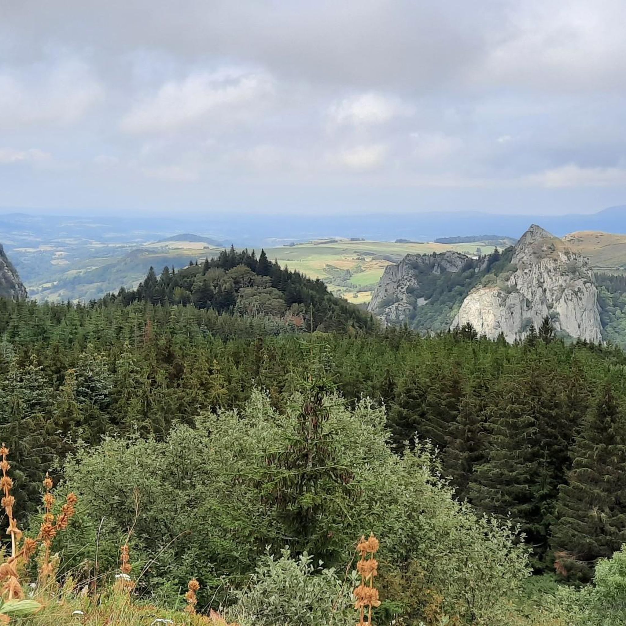
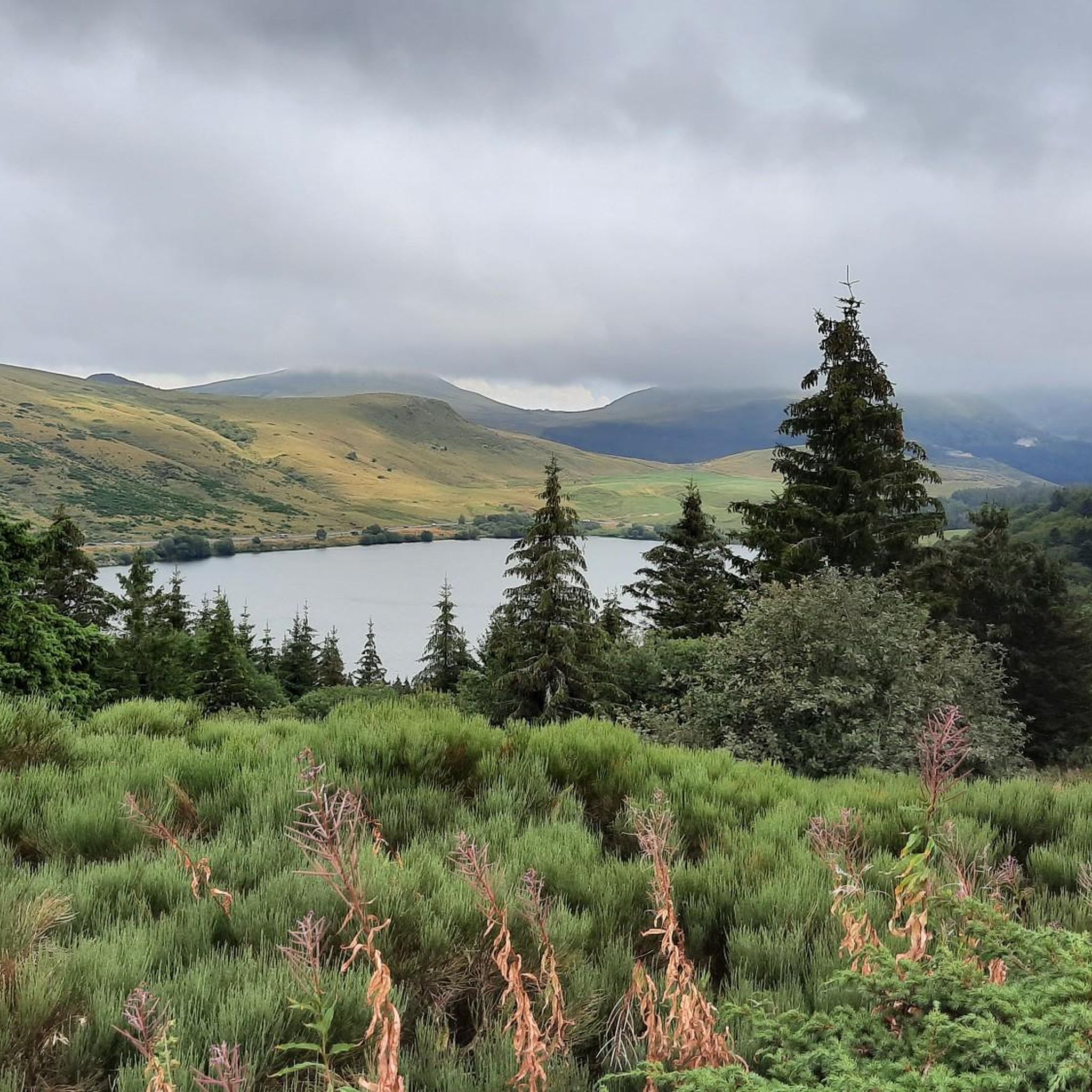
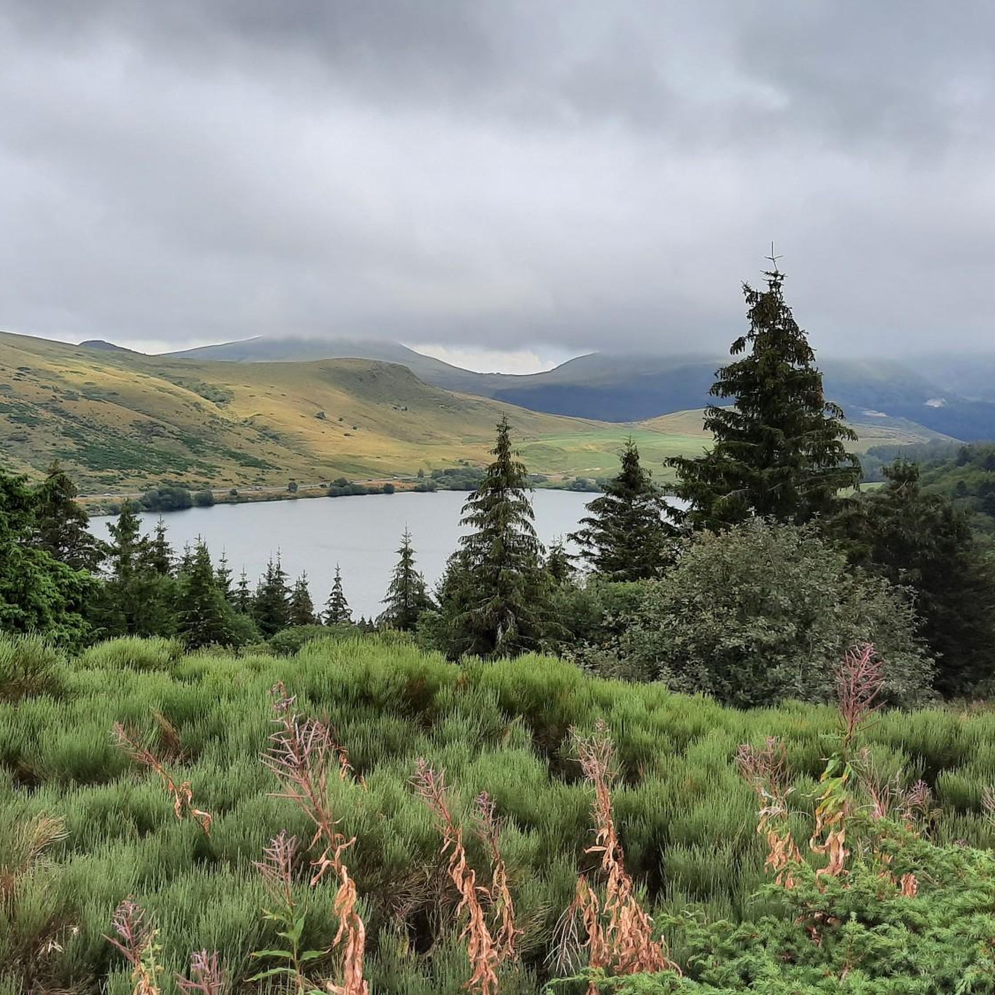
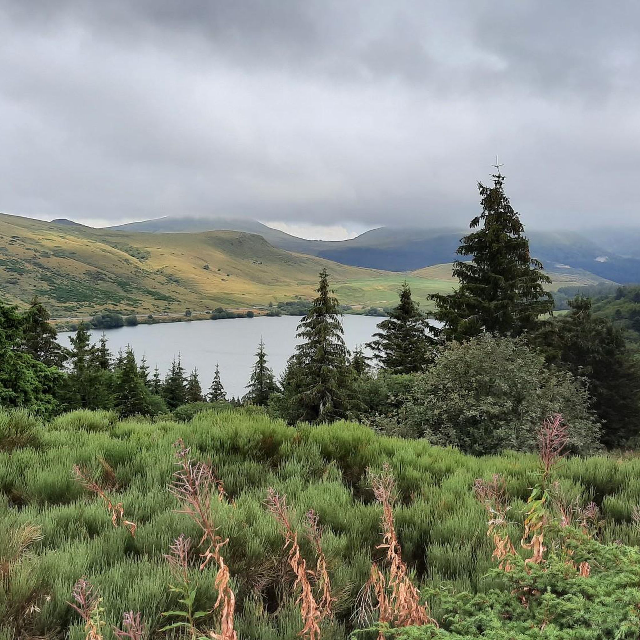
The Col de Guéry, located in the heart of the Auvergne region, offers a picturesque mountain pass experience amidst the volcanic landscapes of the Massif Central. At an altitude of approximately 1,267 metres, the pass offers stunning views of Lake Guéry below, the highest lake in Auvergne. The region is known for its tranquil beauty, with rolling meadows, dramatic volcanic peaks and forests that change colour with the seasons. Nearby Roche Sanadoire and Roche Tuilière add to the spectacular scenery, making it a perfect stop on your hike.
1
0

The ascent of the Col de la Croix-Morand, which peaks at 1,403 meters above sea level, can be done from Mont-Dore (6.9 kilometers at 5.3%) and from Chambon-sur-Lac (9.3 kilometers at 5.6%). The view is sublime at the top, allowing you to observe the surrounding puys.
0
0

This weekend car hill race on the Robert cross on the Chambon side
0
0
Frequently Asked Questions
What are some of the most scenic mountain passes around Perpezat?
The region offers several scenic passes. Guéry Pass provides stunning views of Lake Guéry and the volcanic landscapes of the Massif Central, including the prominent rock formations of Tuilière and Sanadoire. Courre Pass, peaking at 1,720 meters, offers expansive vistas connecting paths to Sancy and the Courre valley.
Are there challenging mountain passes for experienced cyclists near Perpezat?
Yes, for experienced cyclists, the Route du col de la Croix Saint-Robert is a notable challenge. It's 6.3 kilometers long with an average gradient of 6.05% and maximum gradients of 10.3%, making it a rigorous climb. The Col de la Croix Saint Robert is also mentioned as a challenging 'sportive' cycling circuit in the broader region.
What kind of outdoor activities can I do near the mountain passes around Perpezat?
The area around Perpezat's mountain passes is excellent for various outdoor activities. You can find numerous routes for mountain hiking, including moderate to difficult trails like the Puy de Sancy – Col de la Cabane loop. There are also extensive options for cycling and gravel biking, with routes like the Col de Guery par le puy de l'Ouire loop.
Are there any family-friendly mountain pass areas or viewpoints?
While specific family-friendly passes are not explicitly detailed, the area around Guéry Pass and Lac de Guéry is a great starting point for mountain walks and offers beautiful views. The View of Roches Tuilière and Sanadoire is also categorized as family-friendly, providing a great spot for a break and enjoying the scenery.
What is the highest point within the commune of Perpezat itself?
The highest point within the commune of Perpezat is Puy Loup, reaching an altitude of 1,482 meters. It offers breathtaking panoramic views over the Chaîne des Puys and the Sancy Massif, providing an exceptional natural setting.
What is the best time of year to visit the mountain passes around Perpezat?
The region is known for its preserved natural sites and offers beautiful scenery throughout the year. Spring and autumn provide vibrant colors and pleasant temperatures for hiking and cycling. Winter can bring snow, making some passes accessible by chairlift, such as Donkey's Pass, but also requiring caution due to potentially tricky passages and snow conditions.
Are there any unique features or tips for hiking near Donkey's Pass?
Donkey's Pass is a subject pass of the Puy de Sancy and serves as the last stage for walkers approaching from the north. Be aware that this part of the path can be dizzying. In winter, it is accessible by chairlift, but some tricky passages might require crampons due to snow.
Where can I find cafes or pubs near the mountain passes?
While specific cafes or pubs directly on the passes are not detailed, areas like Lac de Guéry, near Guéry Pass, are popular starting points for walks and often have amenities. The broader region, including nearby towns like Mont-Dore, will offer various options for refreshments and accommodation.
What makes the landscape around Perpezat's mountain passes unique?
The landscape around Perpezat's mountain passes is unique due to its location within the regional natural park of the Auvergne Volcanoes. It features a mountainous terrain with forests and verdant valleys, characterized by dramatic volcanic peaks, rolling meadows, and preserved natural sites. This provides spectacular panoramas of the volcanic landscape.
What do visitors enjoy most about the mountain passes in this region?
Visitors frequently praise the breathtaking panoramic views, especially from high points like Puy Loup and Courre Pass. The tranquility and natural beauty of the volcanic landscapes, along with the opportunities for challenging cycling routes and scenic hikes, are also highly appreciated. The wide views over grassy mountains and the silence are often highlighted.
Are there any specific cycling routes of medium difficulty near Perpezat?
Yes, the Col de la Geneste, situated near Picherande (approximately 22 km from Perpezat), is described as a cycling circuit of medium difficulty, typically taking around 40 minutes. This offers another scenic option for cyclists looking for a less rigorous but still engaging ride.
Can I find circular hiking routes that incorporate mountain passes?
Yes, the region offers circular routes that include mountain passes. For example, the 19km horseshoe route taking in the high points of the Mont Dore area, including Puy de Sancy, incorporates passes like Courre Pass. There are also various mountain hikes around Perpezat that form loops, such as the Puy Redon – Tour Carrée loop.
Most popular routes around Perpezat
Most popular attractions around Perpezat

Get inspired with the komoot mobile app


Explore more
See even more epic mountain passes by checking out these guides around Perpezat:
