The best walks and hikes around Bichl
4.3
(175)
894
hikers
41
hikes
Hiking around Bichl, an area in Bad Tölz-Wolfratshausen, Germany, offers diverse natural features for outdoor activities. The region is characterized by a backdrop of mountains, green meadows, and serene lakes. Notable features include the Herzogstand Mountain, the Osterseen Lake District with its interconnected small lakes, and the Loisach-Kochelsee Moor, which provides opportunities to observe rare plant and animal species.
Best hiking trails around Bichl
- The most popular hiking route is Loisach River – St. George's Church in Bichl loop from Bichl, a 4.4 miles (7.0 km) trail that takes 1 hour 48 minutes to complete. This easy path follows the Loisach River and passes the historic St. George's Church.
- Another top favourite among local hikers is Naturbad Bichl – Angerlkopf loop from Benediktbeuern, a moderate 6.2 miles (9.9 km) path. This route includes significant elevation gain and offers views of the surrounding landscape.
- Local hikers also love the Lainbach Bridge – Stream in Upper Bavaria loop from Bichl, a 10.3 miles (16.5 km) trail leading through varied terrain, often completed in about 4 hours 51 minutes.
- Hiking around Bichl is defined by picturesque mountains, expansive green meadows, and tranquil river paths, with options ranging from easy walks to more challenging mountain routes. The network offers trails for various ability levels, including 21 easy, 17 moderate, and 3 difficult routes.
- The routes in Bichl are highly rated by the komoot community with an average score of 4.4 stars from over 150 reviews. More than 800 hikers have used komoot to explore Bichl's varied terrain.
Last updated: October 4, 2026
3.7
(19)
86
hikers
Moderate hike. Good fitness required. Mostly accessible paths. Sure-footedness required.
3.1
(8)
48
hikers
5.30km
01:48
220m
220m
Moderate hike. Great for any fitness level. Mostly accessible paths. Sure-footedness required.

4.0
(8)
47
hikers
7.08km
01:49
30m
30m
Easy hike. Great for any fitness level. Easily-accessible paths. Suitable for all skill levels.
4.2
(10)
43
hikers
Moderate hike. Good fitness required. Easily-accessible paths. Suitable for all skill levels.
4.7
(7)
22
hikers
10.2km
03:59
590m
590m
Moderate hike. Good fitness required. Mostly accessible paths. Sure-footedness required.
Get access to more routes and recommendations from other explorers.
Already have an account?
Our route recommendations are based on thousands of hikes, rides, and runs completed by other people on komoot.
Start today with a free account
Your next adventure awaits.
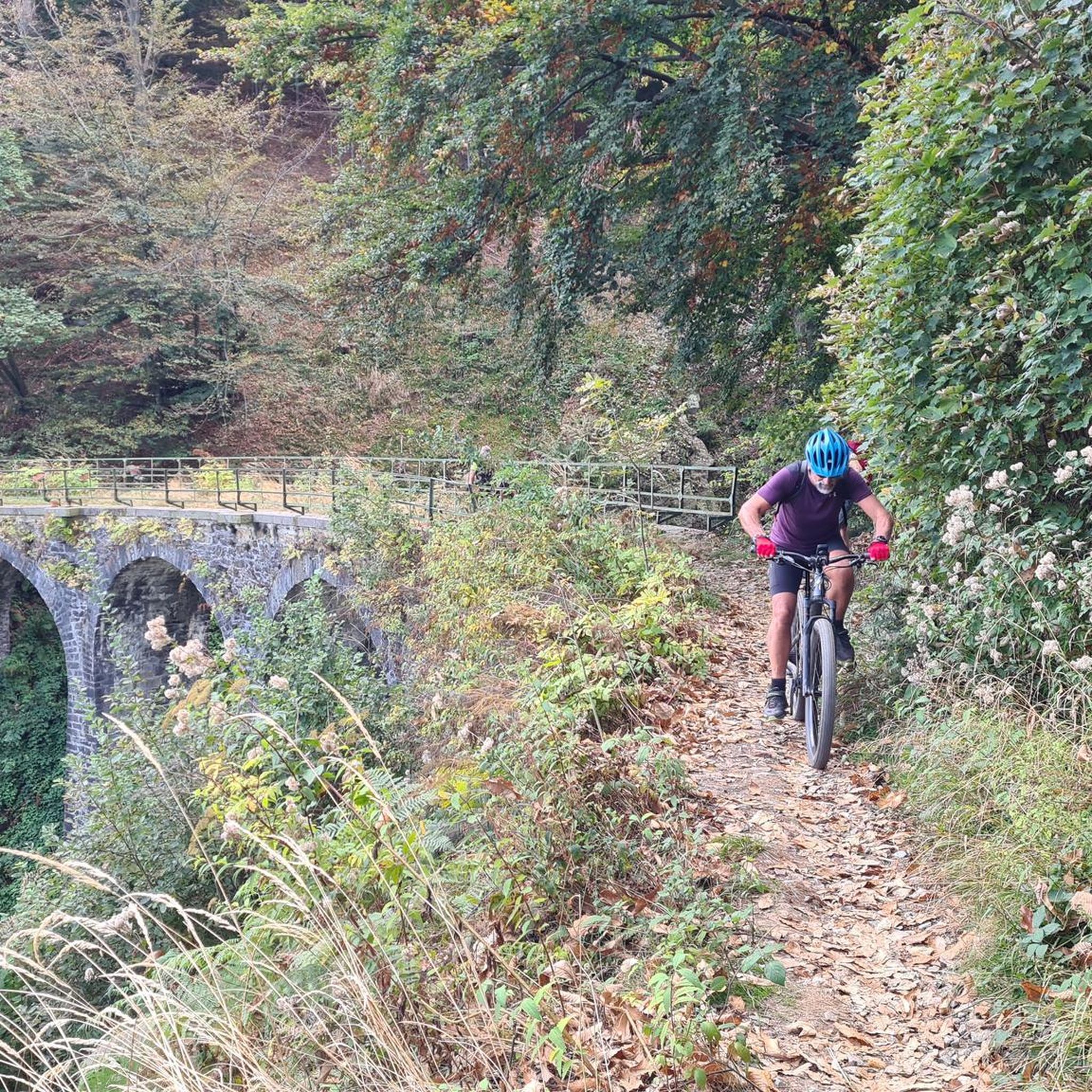
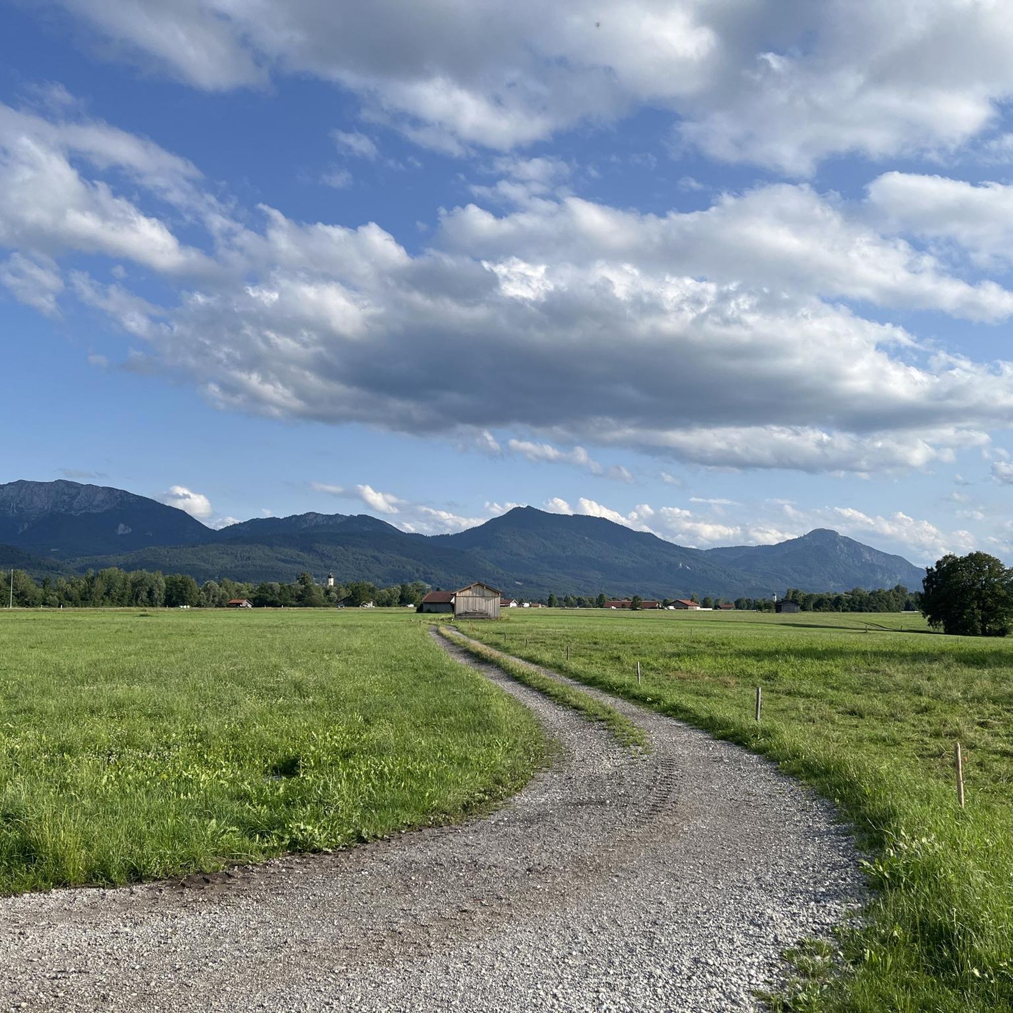
Tips from the Community


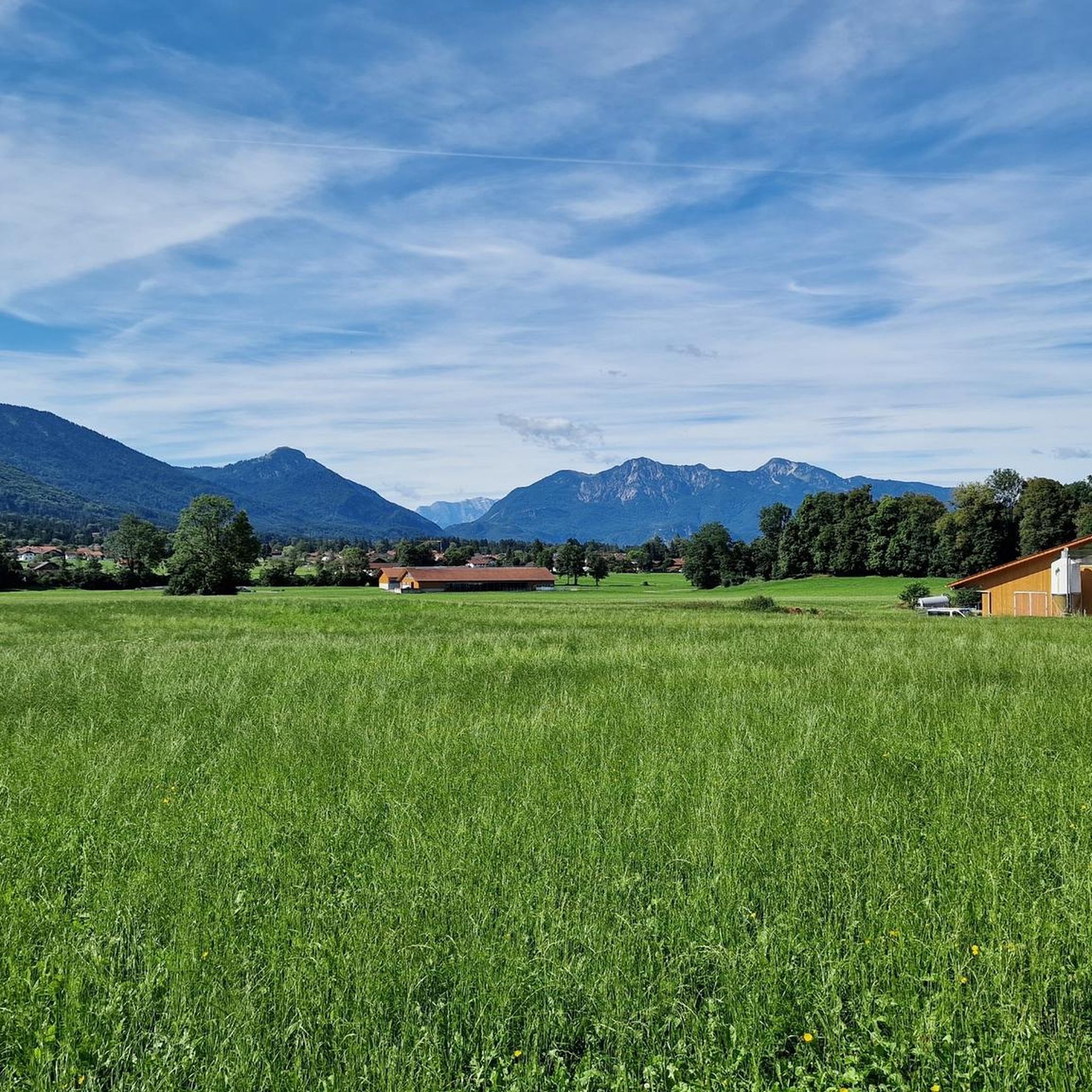
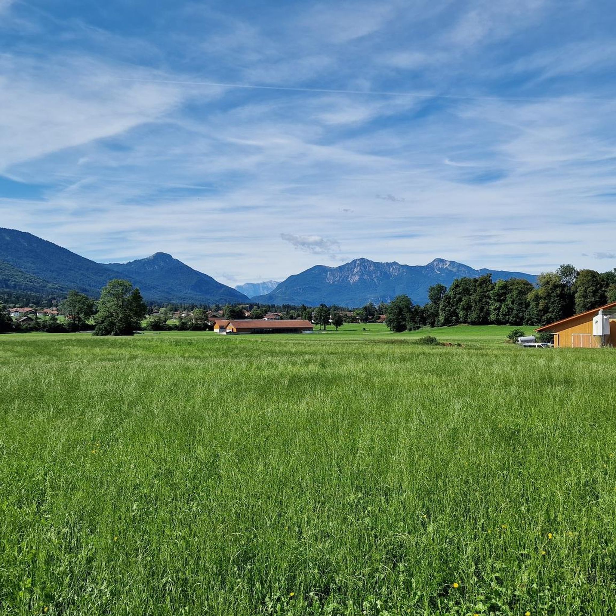
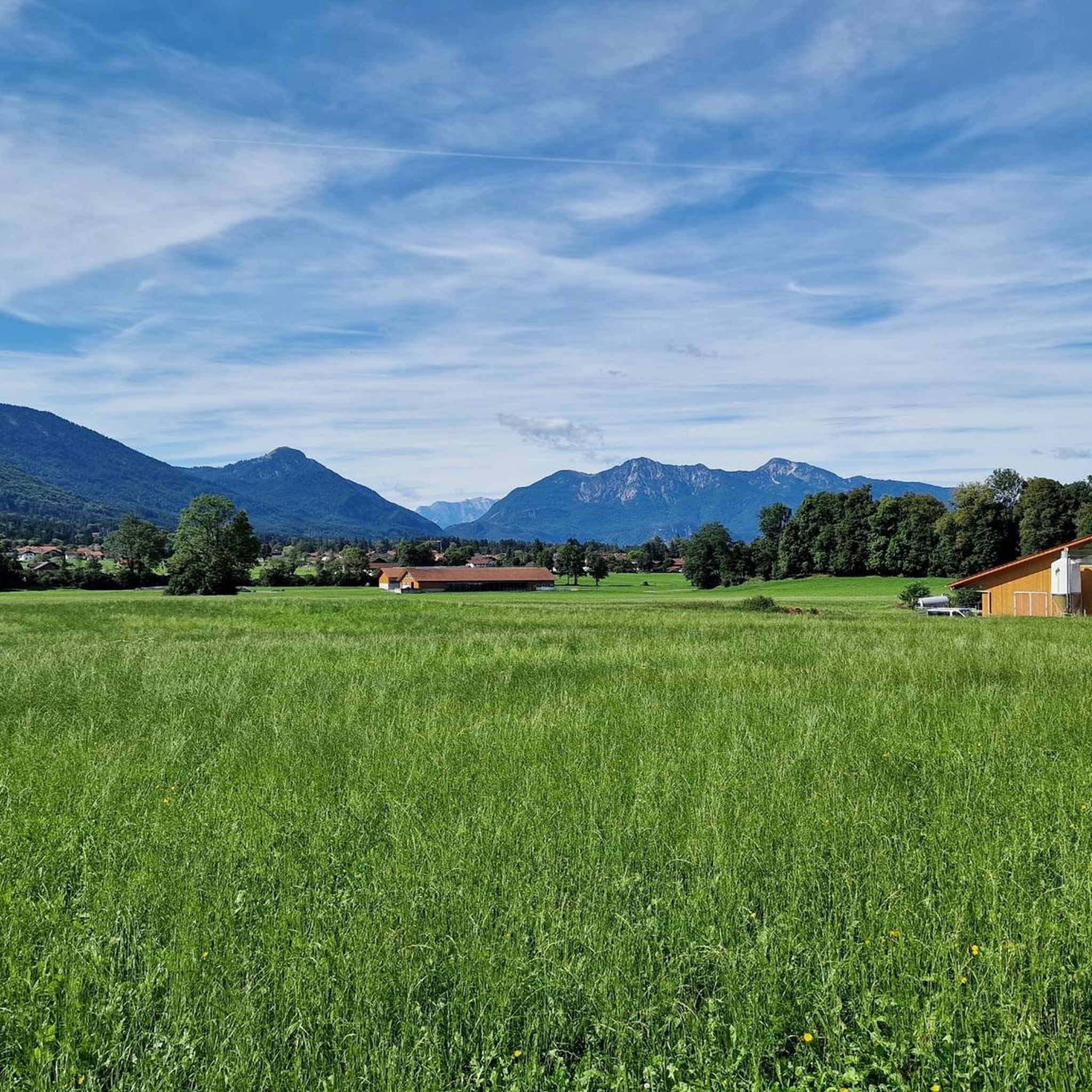
Probably goes through as a insider tip. Mountain view from the Tegernsee peaks to the left over to the Ammergau Alps and hardly visited due to lack of infrastructure.
1
0

Steep section along the ridge. Very earthy and slippery. Caution when icy / wet
0
0

St. George Church in Bichl
2
0

Along the banks, there are numerous opportunities to get directly to the Loisach River. It's simply a lovely place to linger.
0
0

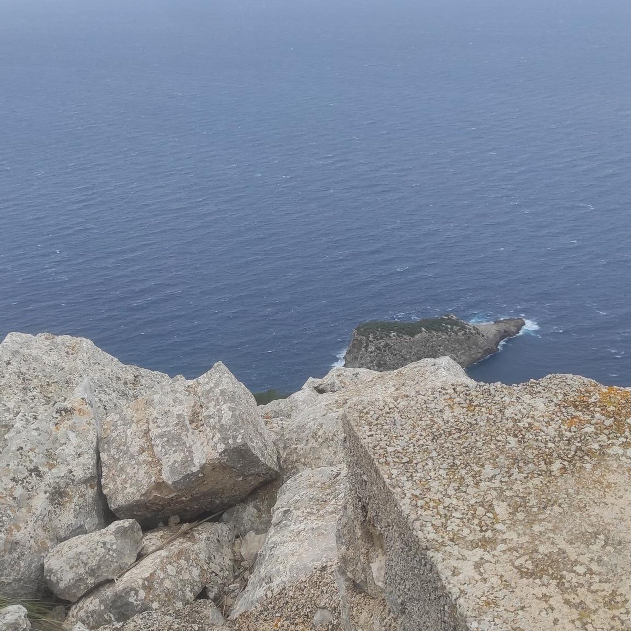
Good views and definitely suitable for a snack. Less frequented by hikers.
0
0

Very beautiful pond with mountain panorama
0
0
Frequently Asked Questions
How many hiking trails are available around Bichl?
Bichl offers a wide variety of hiking experiences with over 40 trails. These range from easy strolls to more challenging mountain routes, catering to different fitness levels.
What are the best seasons for hiking in Bichl?
The best seasons for hiking in Bichl are spring and autumn. During these times, you'll experience mild temperatures and vibrant natural colors, with blooming flowers in spring and golden hues across the landscape in autumn.
Are there any easy, family-friendly hikes suitable for beginners or those with prams?
Yes, Bichl has 21 easy routes, many of which are suitable for families. A great option is the Loisach River – St. George's Church in Bichl loop from Bichl, an easy 7 km path that follows the Loisach River and passes the historic St. George's Church.
Can I find challenging hikes with significant elevation around Bichl?
Absolutely. For those seeking a challenge, Bichl offers 3 difficult routes and 17 moderate routes with notable elevation gains. The region's backdrop of impressive mountains, such as Herzogstand, provides demanding climbs with spectacular views.
Are there any circular hiking routes in the Bichl area?
Yes, many trails in Bichl are circular. For example, the Lainbach Bridge – Stream in Upper Bavaria loop from Bichl is a 16.5 km route that takes you through varied terrain. The Loisach-Kochelsee Moor also features scenic circular paths.
What natural attractions or landmarks can I see while hiking in Bichl?
Bichl is rich in natural beauty. You can explore the unique Osterseen Lake District with its eight interconnected small lakes, or discover the tranquil Loisach-Kochelsee Moor, known for rare plant and animal species. The region also features several waterfalls, such as the Lainbach Waterfall and Glasbach Waterfall.
Are there any dog-friendly hiking trails in Bichl?
Many trails in Bichl are suitable for hiking with dogs, especially those through the expansive green meadows and along river paths. It's always a good idea to keep your dog on a leash, especially in nature protection areas like the Loisach-Kochelsee Moor, to protect local wildlife.
What do other hikers say about the trails in Bichl?
The trails in Bichl are highly regarded by the komoot community, with an average rating of 4.4 stars from over 150 reviews. Hikers often praise the diverse landscapes, from tranquil river paths to scenic mountain views, and the well-maintained trail networks.
Can I access hiking trails in Bichl using public transport?
Bichl is an accessible community, and many trailheads can be reached via public transport. It's advisable to check local bus and train schedules to plan your journey to specific starting points for your chosen hike.
Are there opportunities for winter hiking in Bichl?
While spring and autumn are prime hiking seasons, Bichl also offers possibilities for winter activities. Guided snowshoe hikes are available, allowing you to experience the serene winter landscape. Always check snow conditions and trail accessibility before heading out.
Where can I find parking for hiking trailheads in Bichl?
Parking is generally available near popular trailheads and in the community of Bichl. Specific parking information can often be found on local signage or detailed route descriptions for individual tours.
Are there any less crowded or 'hidden gem' hikes in Bichl?
While popular routes attract many, the extensive network of over 40 trails means you can often find quieter paths, especially away from the most well-known mountain ascents. Exploring the various paths within the Loisach-Kochelsee Moor can offer a tranquil experience away from larger crowds.
Most popular attractions around Bichl

Get inspired with the komoot mobile app


Explore more
Browse the best Hikes in other regions.
