The best walks and hikes around Malicorne
4.4
(99)
562
hikers
74
hikes
Hiking around Malicorne offers diverse natural landscapes within the Sarthe Valley, characterized by the meandering Sarthe River and its tranquil banks. The region features rolling meadows, hedged fields, and lush wooded paths, providing varied terrain for outdoor exploration. Sunken lanes add to the network of footpaths, ensuring a mix of open and shaded routes. This area provides a range of trails suitable for different abilities, from riverside strolls to routes through the countryside.
Best hiking trails around Malicorne
- The most…
Last updated: July 11, 2026
4.4
(9)
31
hikers
8.65km
02:23
150m
150m
Moderate hike. Good fitness required. Easily-accessible paths. Suitable for all skill levels.
5.0
(4)
22
hikers
6.29km
01:46
130m
130m
Easy hike. Great for any fitness level. Easily-accessible paths. Suitable for all skill levels.

Sign up for free
5.0
(4)
43
hikers
13.0km
03:36
240m
240m
Moderate hike. Good fitness required. Easily-accessible paths. Suitable for all skill levels.
8
hikers
12.9km
03:25
130m
130m
Moderate hike. Good fitness required. Easily-accessible paths. Suitable for all skill levels.
4.3
(4)
12
hikers
9.82km
02:43
170m
170m
Moderate hike. Good fitness required. Easily-accessible paths. Suitable for all skill levels.
Get access to more routes and recommendations from other explorers.
Sign up for free
Already have an account?
Our route recommendations are based on thousands of hikes, rides, and runs completed by other people on komoot.
Start today with a free account
Your next adventure awaits.
Login or Signup



Tips from the Community

Beautiful route, don't forget Montlucon. Slowly down and then slowly back up.
0
0

Hello, a walk for everyone, with magnificent views! Don't hesitate!
0
0

The Saint-Joseph chapel will lead you through woods and sunny paths to enjoy the peaceful atmosphere and the beautiful views of the countryside along the way. The trail is well marked and suitable for all levels of runners.
2
0
Etang de Cournauron is a small lake managed by the local fishing association. The pond is surrounded by greenery and offers a beautiful view of the landscape. The Étang de Cournauron is a hidden gem that will delight nature lovers and runners.
2
0
The Saint-Joseph chapel will lead you through woods and sunny paths to enjoy the peaceful atmosphere and the beautiful views of the countryside along the way. The trail is well marked and suitable for all levels of hikers.
2
0
Etang de Cournauron is a small lake managed by the local fishing association. Picnic tables and playgrounds for children allow you to spend a pleasant walk with family or friends. The lake is surrounded by greenery and offers a beautiful view of the landscape. The Étang de Cournauron is a hidden gem that will delight nature lovers and anglers.
3
0

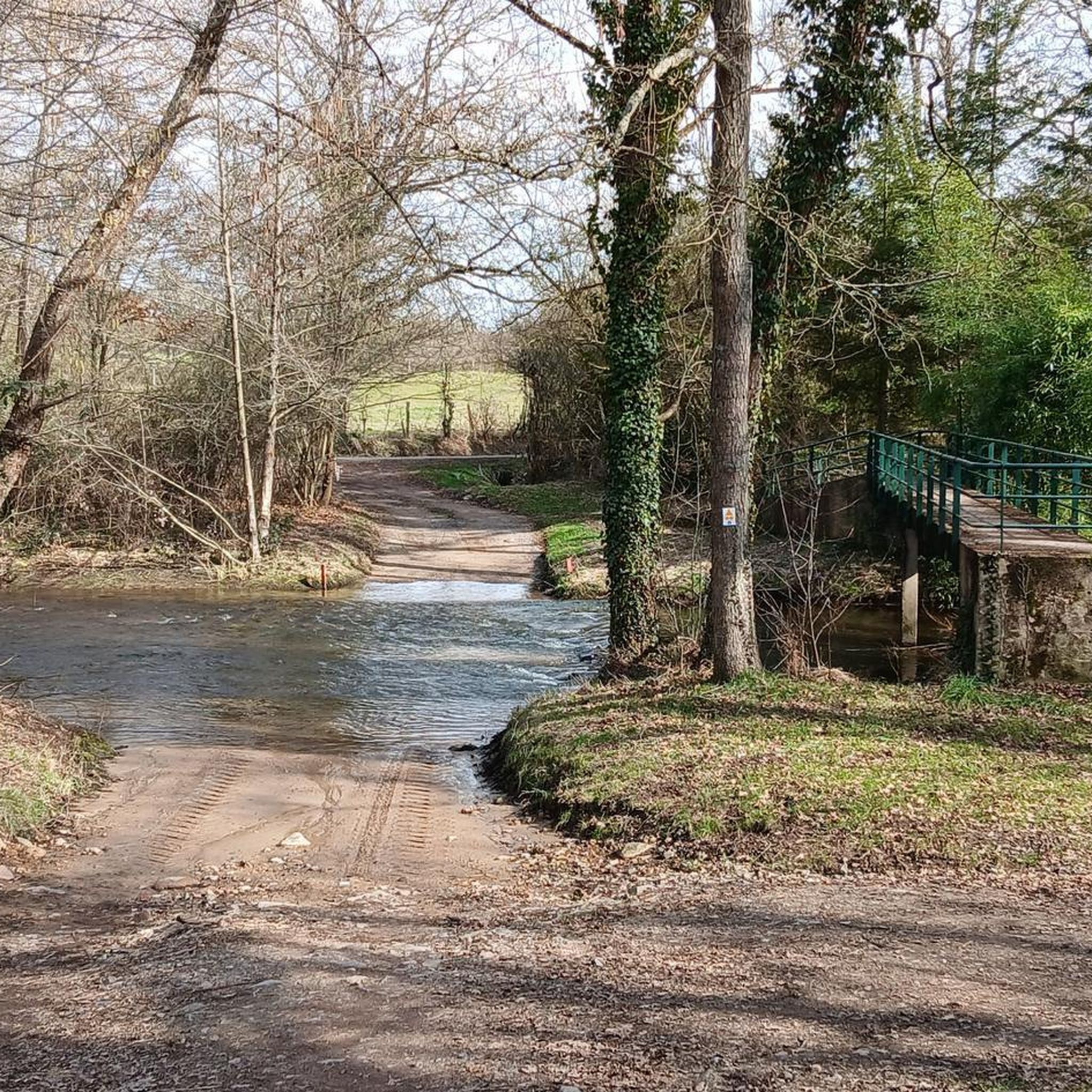
Superb greenway with gentle slopes and passages over bridges overlooking the valley.
0
0
Frequently Asked Questions
How many hiking trails are available around Malicorne?
There are over 60 hiking trails in the Malicorne area, offering a variety of options for different skill levels and preferences. These routes explore the diverse landscapes of the Sarthe Valley.
What kind of landscapes can I expect to see while hiking near Malicorne?
Hiking around Malicorne offers a mix of picturesque scenery. You'll find tranquil paths along the Sarthe River, rolling meadows, hedged fields, and lush wooded areas. Many trails also feature charming sunken lanes, providing varied terrain and experiences.
Are there any easy hiking trails suitable for beginners or families with children?
Yes, Malicorne offers several easy trails perfect for beginners or families. For example, the Saint Joseph Chapel – Cournauron pond loop from Néris-les-Bains is an easy 6.3 km route that takes less than two hours to complete, offering pleasant views around the pond.
Are there any longer or more challenging hikes for experienced hikers?
While most trails are moderate, some routes offer a longer distance. The View of the thermal baths – Viaduct loop from Néris-les-Bains is a moderate 13.2 km hike with more elevation gain, providing a good option for those seeking a longer outing.
What interesting sights can I discover along the hiking trails near Malicorne?
Many trails in the area lead to or pass by notable points of interest. You can explore the scenic Cournauron pond, visit the historic Saint Joseph Chapel, or encounter charming villages and historic mills along the Sarthe River.
Are there circular hiking routes available around Malicorne?
Yes, many of the trails around Malicorne are designed as loops, allowing you to start and end your hike in the same location. Examples include the Étang de Cournauron — loop from Néris-les-Bains and the Cournauron pond – Saint Joseph Chapel loop from Néris-les-Bains.
What do other hikers enjoy most about the trails around Malicorne?
The trails around Malicorne are highly regarded by the komoot community, with an average rating of 4.5 stars from over 90 reviews. Hikers often praise the peaceful riverside paths, the beauty of the rolling meadows, and the varied terrain that keeps walks interesting.
Is Malicorne a good destination for wildlife spotting during a hike?
The diverse natural landscapes, especially along the Sarthe River and within the wooded areas, support a rich variety of flora and fauna. While specific sightings are never guaranteed, hikers often have opportunities to observe local wildlife in its natural habitat.
What is the best time of year to go hiking in Malicorne?
Malicorne offers pleasant hiking experiences throughout much of the year. Spring brings lush greenery and blooming wildflowers, while autumn showcases vibrant foliage. Summer is also popular, with shaded paths providing respite from the sun. Always check local weather conditions before heading out.
Are there options for public transport to reach trailheads around Malicorne?
Public transport options directly to specific trailheads in the rural areas around Malicorne may be limited. It is generally recommended to travel by car to access the starting points of many hiking routes, especially those outside the main village.
Are dogs allowed on the hiking trails in Malicorne?
Generally, dogs are welcome on most public hiking trails in the Malicorne area, provided they are kept under control, ideally on a leash, and that owners clean up after them. It's always a good idea to check specific trail regulations if posted.
Can I find places to eat or have a pub lunch near the hiking routes?
Many hiking trails pass through or near charming villages in the Sarthe Valley. These villages often have local restaurants, cafés, or small shops where you can find refreshments or enjoy a meal after your hike, offering a taste of local culture.
Most popular routes around Malicorne
Most popular attractions around Malicorne

Get inspired with the komoot mobile app


Explore more
Browse the best Hikes in other regions.
