The best road cycling routes around Laveline-Du-Houx
4.4
(133)
3,157
riders
90
rides
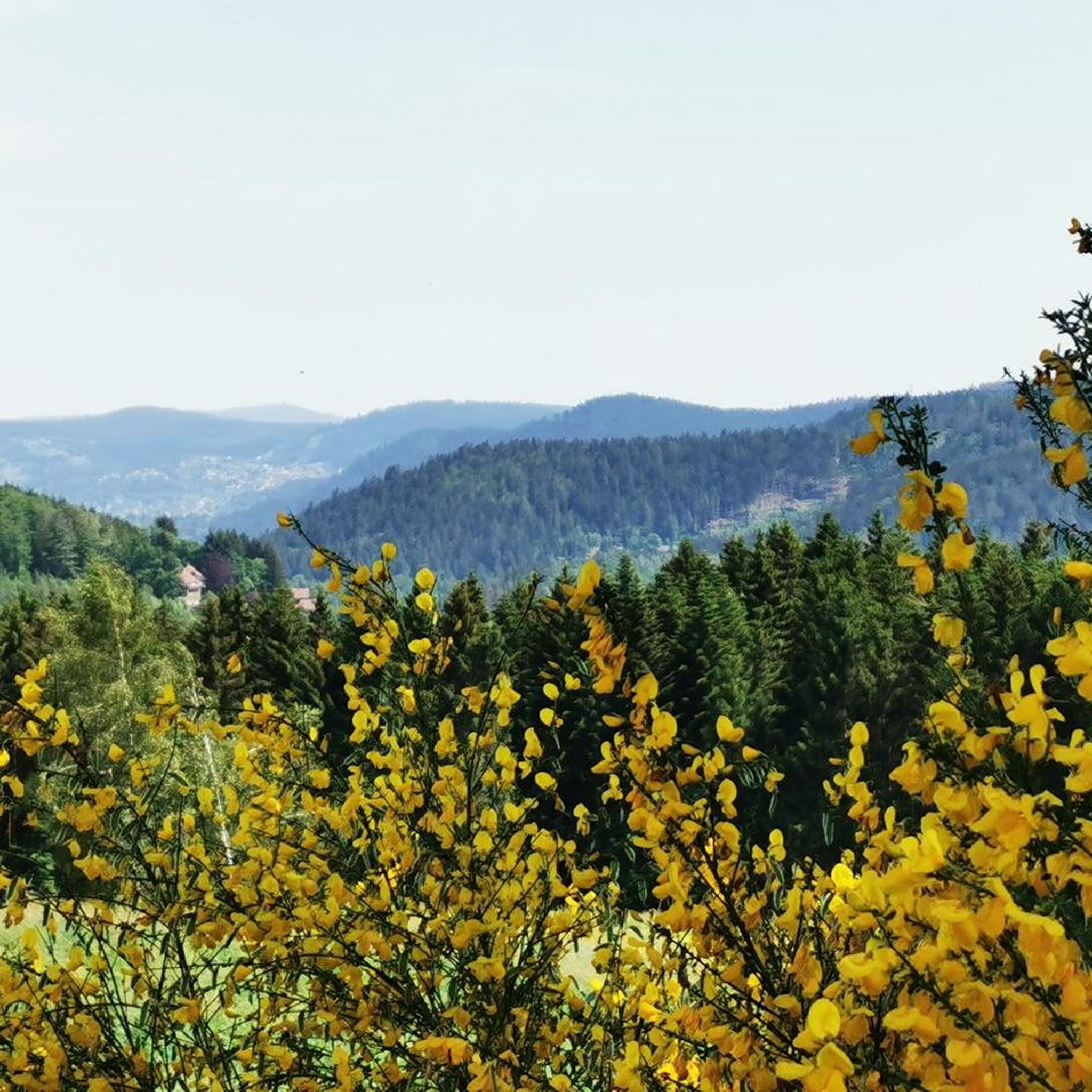
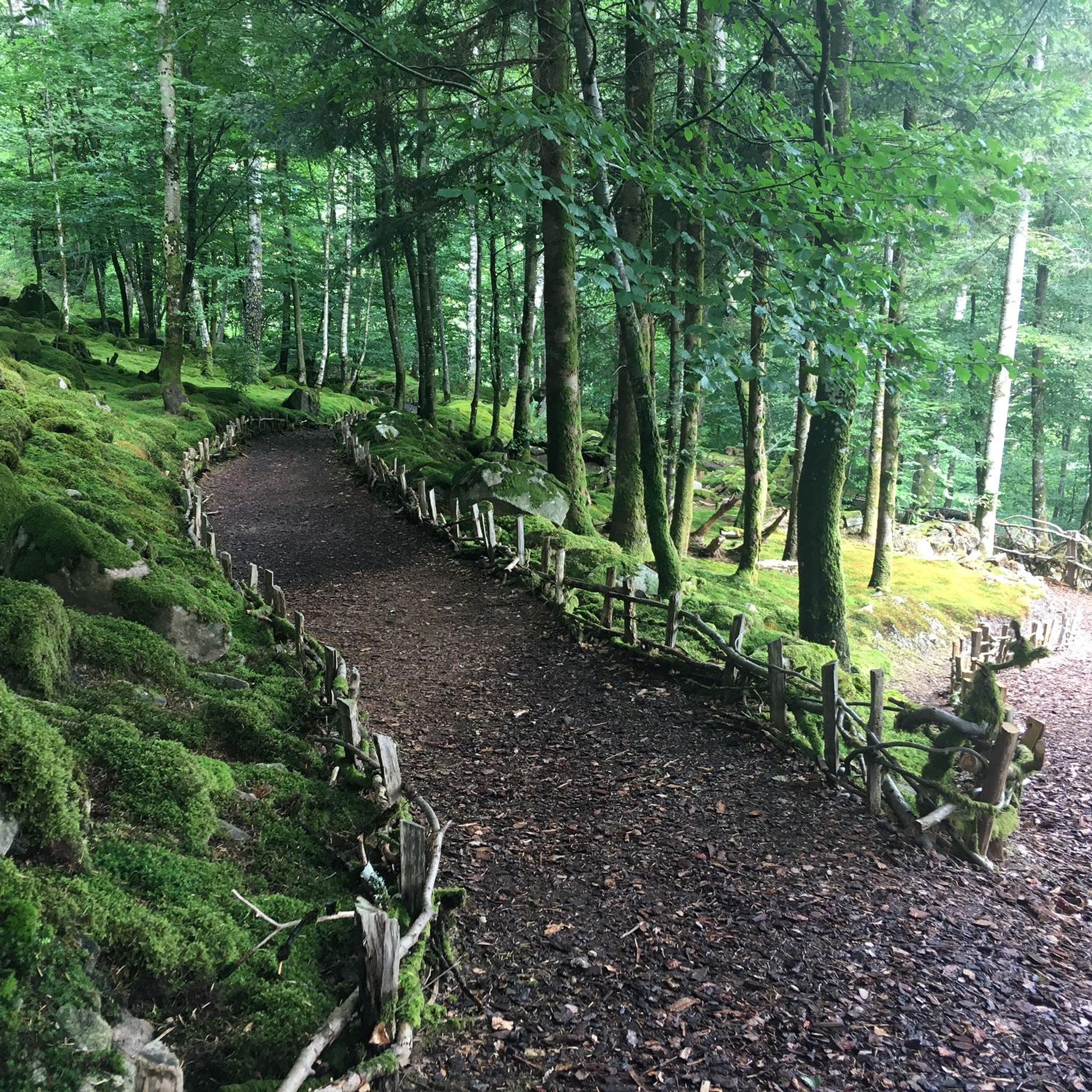
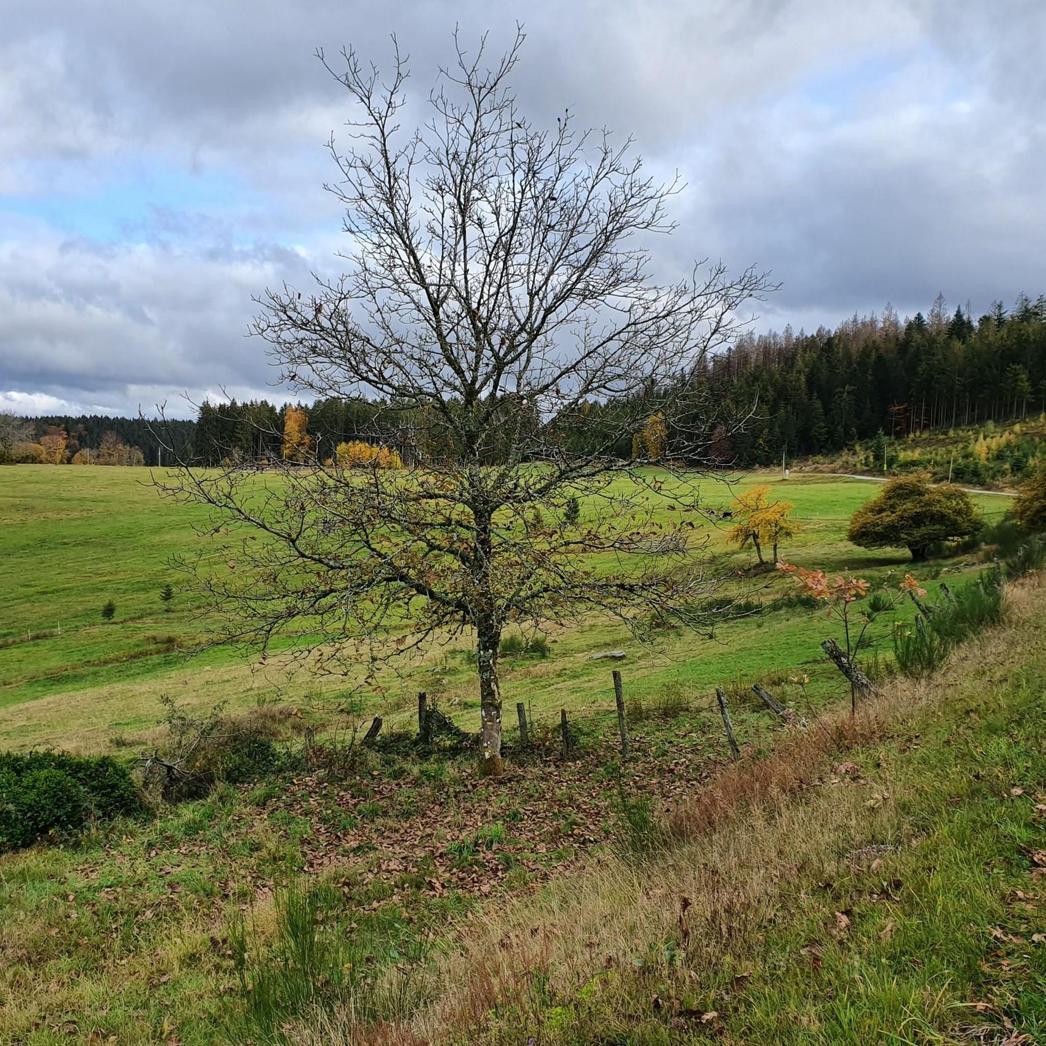
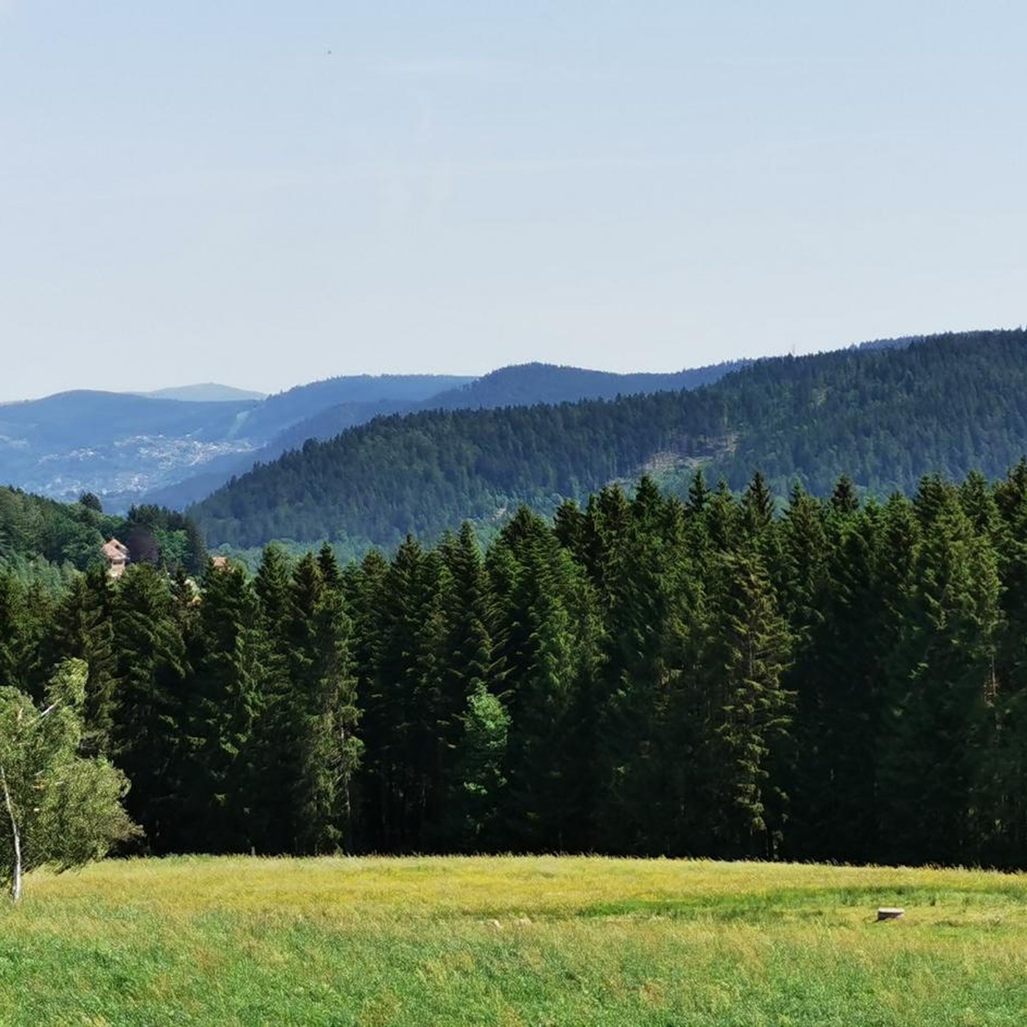
Road cycling around Laveline-Du-Houx, located in France's Massif des Vosges, offers diverse terrain for cyclists. The region features varied topography, including coniferous forests, fir plantations, meadows, and ridges. Routes often traverse the Vologne valley, providing a mix of climbs and descents. This landscape provides both physical challenges and scenic backdrops for road cyclists.
Best road cycling routes around Laveline-Du-Houx
- The most popular road cycling route is Scenic Forest Road – Croix des Moinats Pass loop from Tendon, a 44.5…
Last updated: October 8, 2026
3.0
(1)
90
riders
71.6km
04:12
1,780m
1,780m
Hard road ride. Very good fitness required. Mostly well-paved surfaces and easy to ride.
5.0
(2)
47
riders
62.5km
03:33
1,200m
1,200m
Hard road ride. Very good fitness required. Mostly well-paved surfaces and easy to ride.

33
riders
109km
06:33
2,650m
2,650m
Hard road ride. Very good fitness required. Mostly well-paved surfaces and easy to ride.
30
riders
46.3km
02:04
450m
450m
Moderate road ride. Good fitness required. Mostly well-paved surfaces and easy to ride.
5.0
(1)
21
riders
48.3km
02:40
740m
740m
Moderate road ride. Good fitness required. Mostly well-paved surfaces and easy to ride.
Get access to more routes and recommendations from other explorers.
Already have an account?
Our route recommendations are based on thousands of hikes, rides, and runs completed by other people on komoot.
Start today with a free account
Your next adventure awaits.
Tips from the Community

There are no restaurants or cafes at the summit of the Col de Bramont itself. However, the pass serves as a strategic junction. From the summit, you can directly connect to the famous Route des Crêtes (the D431), which links the main mountain peaks of the Vosges. This allows you to easily cycle or hike to larger attractions nearby, such as the Col de la Schlucht, the Hohneck, or the Grand Ballon. The climb is enjoyable due to its 12 hairpin bends on the southern flank (Kruth).
7
0
The climb starts relatively calmly; the first 4.5 kilometers hardly show any significant incline, while the road runs slightly undulating along the Lac de Kruth-Wildenstein reservoir. Only after that does the real climbing work begin over a distance of about 3.5 to 4 kilometers. From that moment on, the road winds its way up via 12 characteristic hairpin bends. The gradient during this section is very constant and fluctuates almost continuously around 5 to 6%, making the climb ideal for finding a steady rhythm. The road is well-asphalted and leads entirely through a dense pine forest. This allows you to cycle delightfully in the shade, although due to the dense vegetation at the top and during the climb, there are few sweeping views of the valley. Once at the top (955m), you can descend directly to the north side towards La Bresse or join the well-known Route des Crêtes to extend the ride to, for example, the Col de la Schlucht or the Grand Ballon.
6
0
The Col d' Oderen is an 8.2 kilometer climb. This is a category 3 climb. It is located in Cornimont, Lorraine, France. The average gradient of this climb is 3.9% with a maximum of 6%. The Col d' Oderen rises from 573 meters at the start to 885 meters at the top, with a total of 312 meters of elevation gain.
7
0

Brilliant ascent to the pass relatively quiet with a pleasant gradient
4
0

the mosel turns from a stream into a river
0
0

This is the starting point for many hikes.
3
1

Very pleasant ascent, steady with a quality surface, be careful, keep a second ramp under your pedal, it hides behind before reaching the lake of Gérardmer!
1
0

Frequently Asked Questions
How many road cycling routes are available around Laveline-Du-Houx?
There are over 90 road cycling routes available around Laveline-Du-Houx, catering to various skill levels from moderate to difficult. The komoot community has explored these routes over 3,600 times, highlighting the region's popularity among cyclists.
What kind of terrain can I expect on road cycling routes in Laveline-Du-Houx?
Road cycling in Laveline-Du-Houx, nestled in the Massif des Vosges, offers a diverse topography. You'll encounter routes winding through coniferous forests, fir plantations, meadows, and along ridges. Many paths traverse the picturesque Vologne valley, providing a mix of challenging climbs and rewarding descents.
Are there challenging road cycling routes for experienced riders in Laveline-Du-Houx?
Yes, Laveline-Du-Houx is known for its challenging routes. For instance, the Col de Bramont – Col du Bramont (Southwest) loop from Tendon is a difficult 109.5 km trail with significant elevation gain, often taking over 6 hours to complete. Routes in the area can include sections that were part of the 2014 Tour de France, offering substantial climbs and technical sections.
What are some scenic viewpoints or natural attractions I can see along the road cycling routes?
The region is rich in natural beauty. You can find routes that pass by the impressive Great Tendon Waterfall and the Little Waterfall of Tendon. The Spiémont Viewpoint offers panoramic vistas of the Vosges and the Vologne valley. Additionally, geological features like the Pointhaie Rocks can be explored.
Are there any moderate or beginner-friendly road cycling options?
While many routes are challenging, there are also moderate options available. For example, the Ant Mountain loop from Tendon is a moderate 46.3 km route that provides a less strenuous ride while still offering beautiful scenery. The network around Laveline-Du-Houx includes paths suitable for different ability levels.
What is the best time of year for road cycling in Laveline-Du-Houx?
The best time for road cycling in Laveline-Du-Houx is generally from spring through autumn. During these seasons, the weather is more favorable, and the natural features like the Tendon Waterfalls are particularly impressive, especially after rain or in spring when water levels are higher. The varied landscapes are also vibrant during these months.
Are there any circular road cycling routes in the area?
Yes, many road cycling routes around Laveline-Du-Houx are designed as loops, allowing you to start and end at the same point. Examples include the Scenic Forest Road – Croix des Moinats Pass loop from Tendon and the Church in Liézey – Im Grünen loop from Tendon, both offering extensive rides through the region's diverse landscapes.
What do other road cyclists enjoy most about road cycling in Laveline-Du-Houx?
The area is highly rated by the komoot community, with an average score of 4.4 stars from nearly 100 reviews. Cyclists often praise the diverse terrain, the challenging climbs, and the stunning panoramic views of the Vosges and Vologne valley. The opportunity to ride sections of former Tour de France routes is also a highlight for many.
Are there any specific climbs or passes that are popular among road cyclists?
Yes, the region features several notable climbs and passes. Routes often ascend to heights such as Ménémont and Laleu Hill, reaching around 700 meters in altitude. Passes like Croix des Moinats and Col de Bramont are also popular and are incorporated into challenging loop routes, providing significant elevation gain and rewarding views.
Can I find cafes or places to rest along the road cycling routes?
While specific cafes directly on every route are not detailed, the region is dotted with picturesque villages. Given its popularity for outdoor activities, you can typically find places to rest and refuel in towns and villages along or near the main cycling paths. It's always a good idea to check local amenities before heading out.
What are the typical distances and durations for road cycling routes here?
The road cycling routes around Laveline-Du-Houx vary significantly in distance and duration. You can find routes ranging from around 45 km, like the Ant Mountain loop from Tendon (approx. 2 hours), to extensive rides over 100 km, such as the Col de Bramont – Col du Bramont (Southwest) loop from Tendon (approx. 6.5 hours). This variety allows cyclists to choose routes that match their desired challenge and time commitment.
Most popular routes around Laveline-Du-Houx
Most popular attractions around Laveline-Du-Houx

Get inspired with the komoot mobile app


Explore more
Browse the best Road cycling routes in other regions.
