The best MTB trails around Bieberehren
4.4
(312)
1,040
riders
109
rides
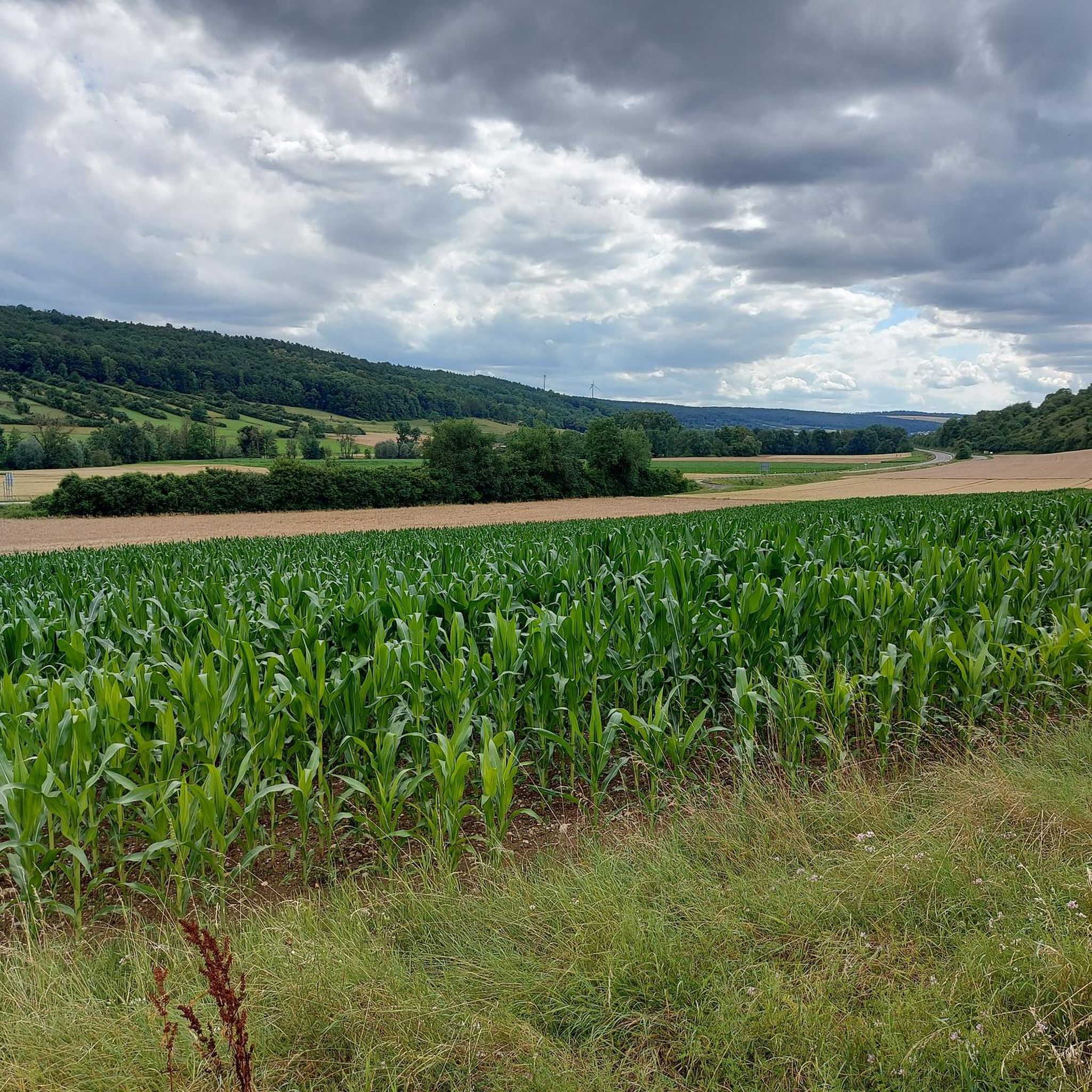
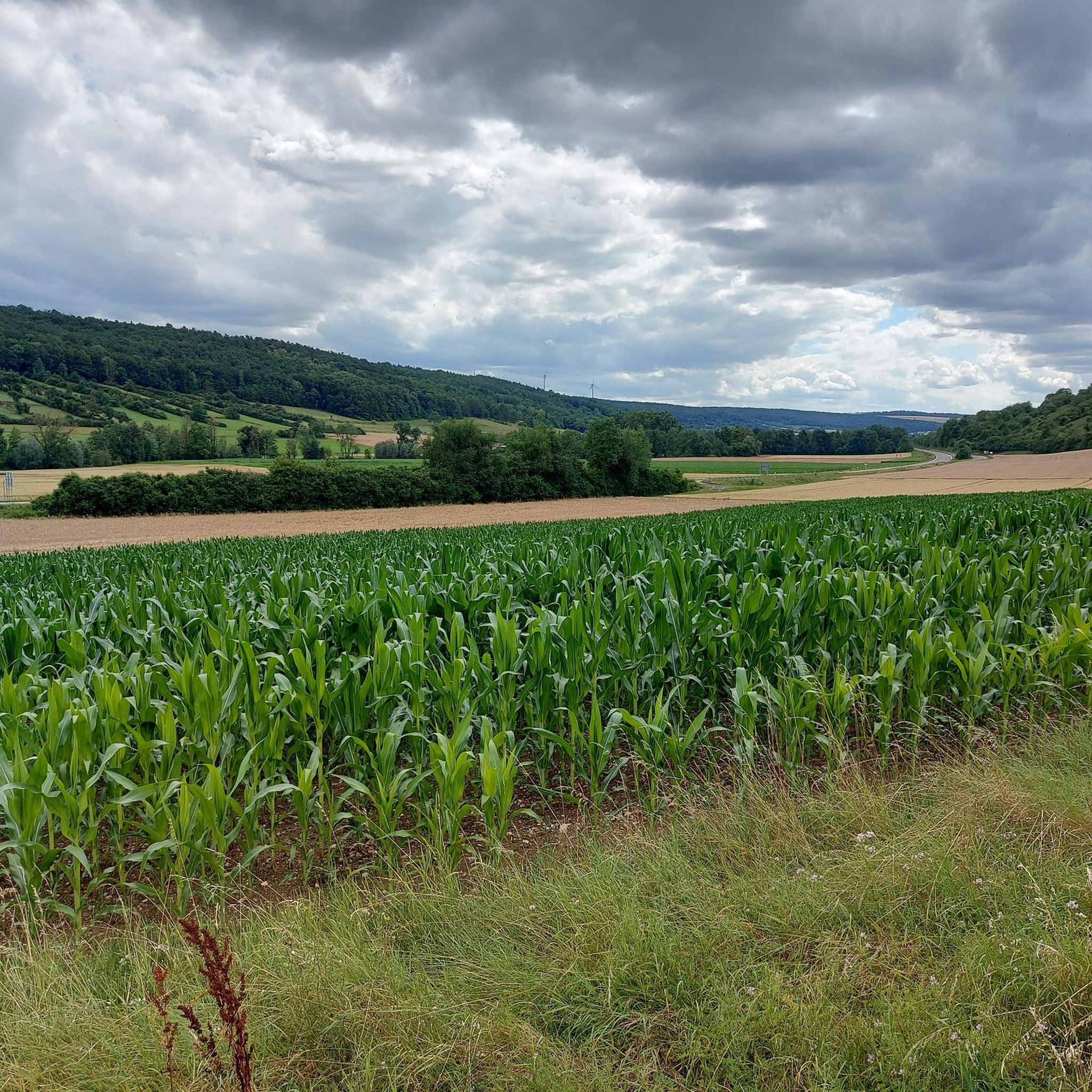
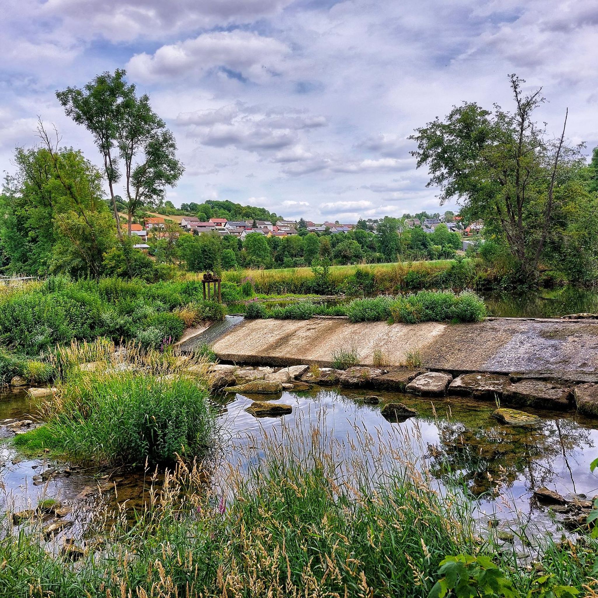
Mountain biking around Bieberehren offers diverse trails through a landscape characterized by rolling hills and scenic river valleys. The region is shaped by the Tauber, Gollach, and Steinach Valleys, where these rivers converge. Trails often lead through idyllic forests and lush meadows, providing varied terrain for mountain bikers. This area in the Würzburg district of Bavaria, Germany, is well-suited for outdoor activities, with routes catering to different skill levels.
Best mountain bike trails around Bieberehren
- The most popular mountain bike…
Last updated: July 2, 2026
4.6
(7)
43
riders
51.4km
02:47
320m
320m
Moderate mountain bike ride. Good fitness required. Suitable for all skill levels.
4.4
(7)
26
riders
47.0km
03:26
640m
640m
Moderate mountain bike ride. Good fitness required. Advanced riding skills necessary.

Sign up for free
5.0
(3)
9
riders
53.5km
03:43
510m
510m
Moderate mountain bike ride. Good fitness required. Advanced riding skills necessary.
4.8
(11)
25
riders
27.5km
01:38
150m
150m
Easy mountain bike ride. Great for any fitness level. Suitable for all skill levels.
4.5
(6)
23
riders
32.3km
01:55
210m
210m
Easy mountain bike ride. Great for any fitness level. Suitable for all skill levels.
Get access to more routes and recommendations from other explorers.
Sign up for free
Already have an account?
Our route recommendations are based on thousands of hikes, rides, and runs completed by other people on komoot.
Start today with a free account
Your next adventure awaits.
Login or Signup
Popular around Bieberehren
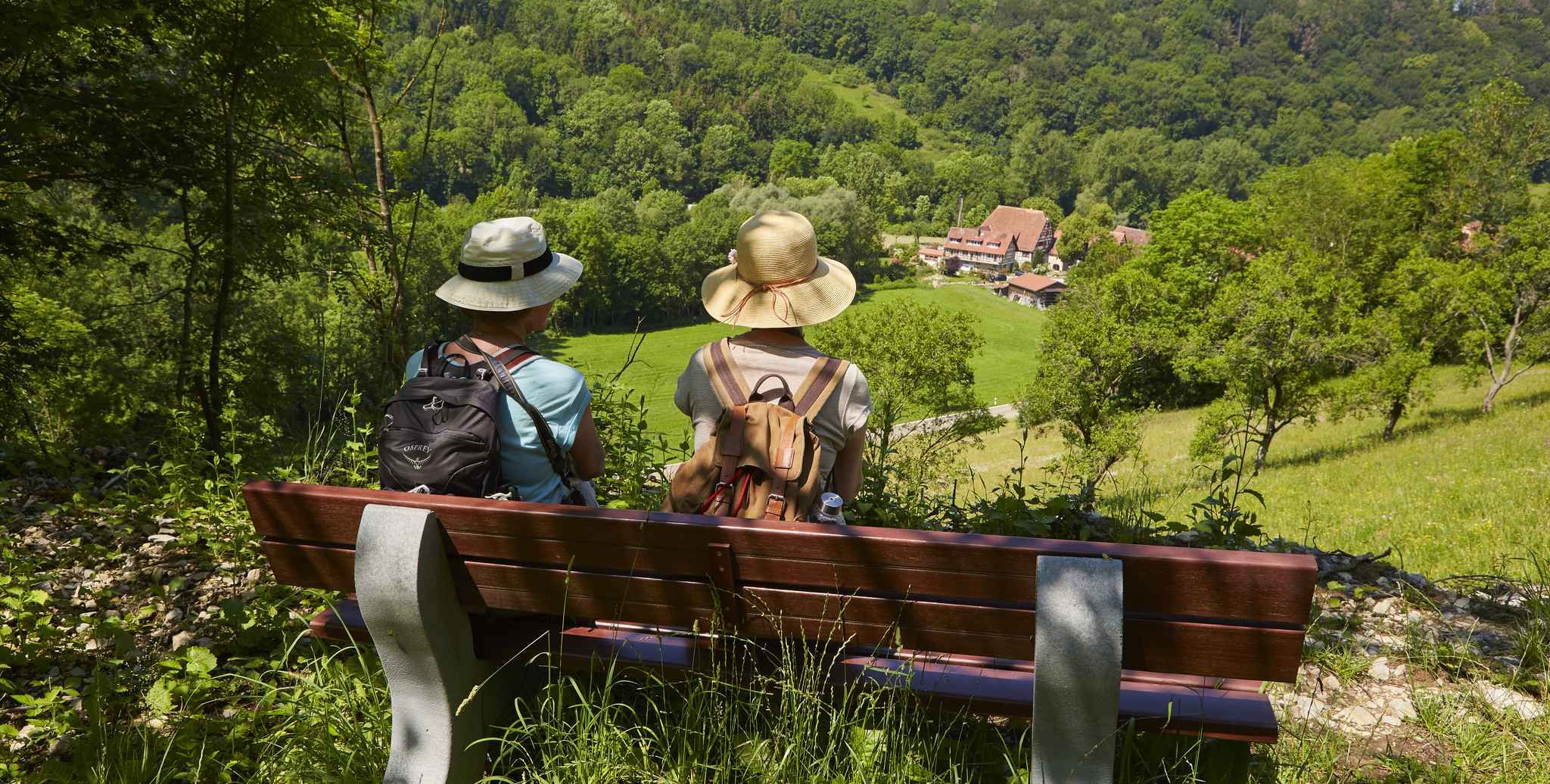
Gentle hills & wide forests – day Tours in the Lovely Tauber Valley
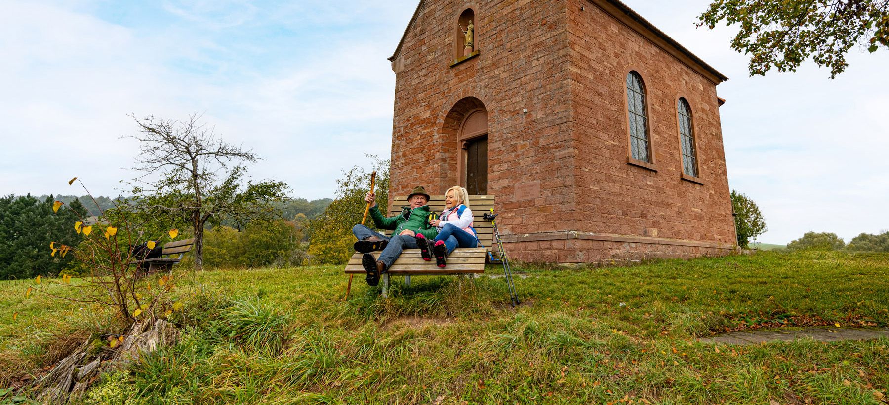
Besinnlichkeit und Ruhe finden – Meditationswege im Lieblichen Taubertal
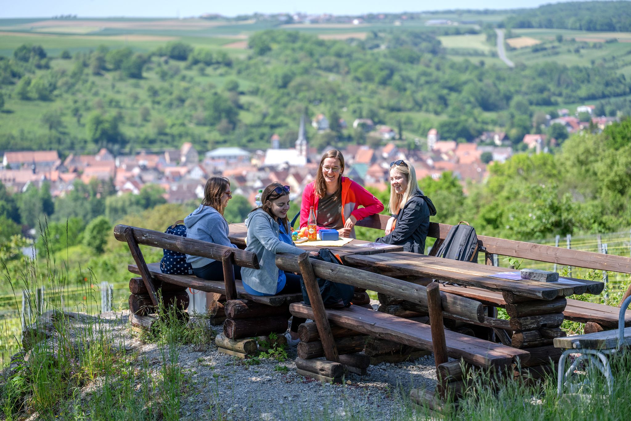
29 Rundwanderwege durch die Ferienlandschaft „Liebliches Taubertal“
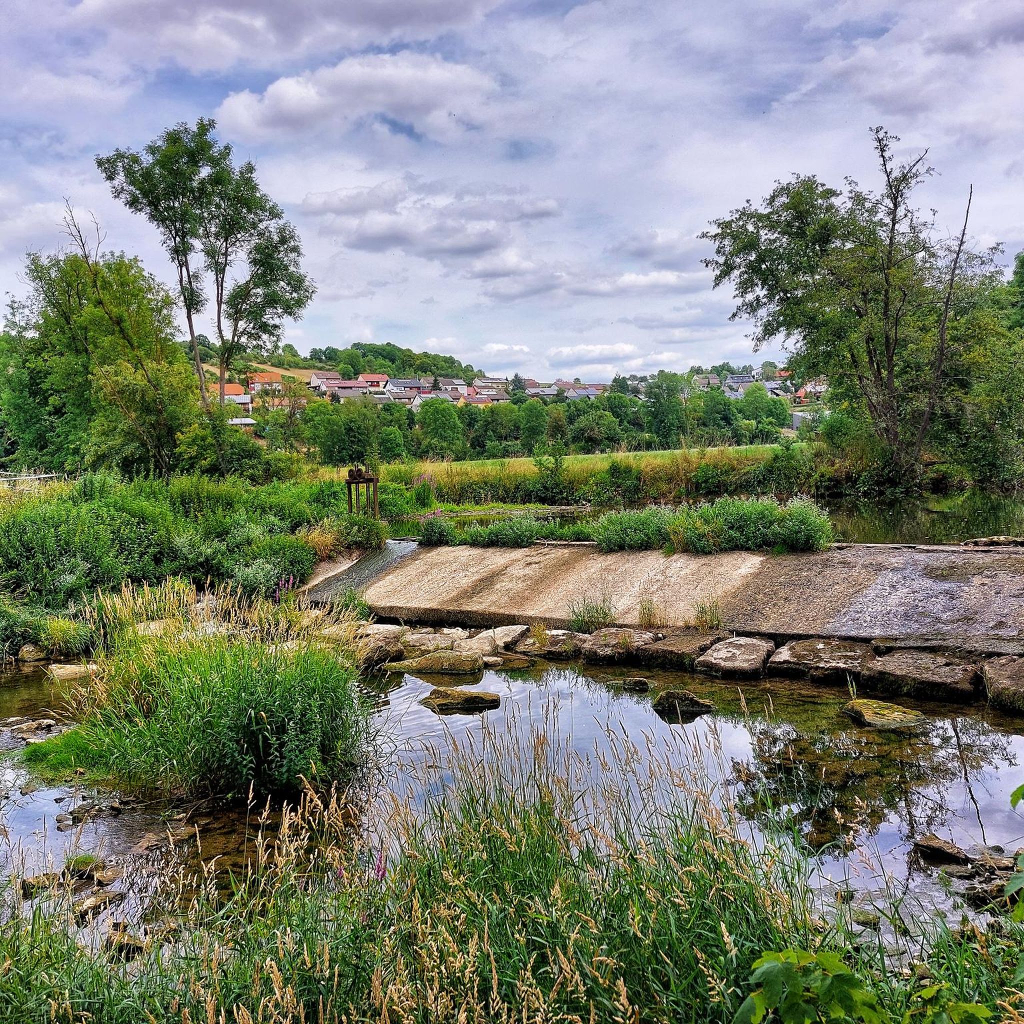
Hiking around Bieberehren
Cycling around Bieberehren
Road Cycling Routes around Bieberehren
Running Trails around Bieberehren
Other adventures around Bieberehren

Tips from the Community

From here you have a beautiful view of the historic city and city wall. It's worth it, even if you just drive by below.
0
0

simply beautiful bridge in a beautiful valley
0
0

That's a wonderful bridge. Not some concrete monstrosity.
0
0

Beautiful view of Rothenburg from the double bridge over the Herrnmühle;
0
0
Mobile Tauber Bridge, even if it gets tight at the 90 degree corners;
0
0


Directly on the Tauber cycle path
1
0
Frequently Asked Questions
How many mountain bike trails are available around Bieberehren?
Bieberehren offers a wide selection of mountain bike trails, with over 110 routes to explore. These trails cater to various skill levels, from easy to difficult.
What is the best time of year for mountain biking in Bieberehren?
The best seasons for mountain biking in Bieberehren are spring and autumn. During these times, the weather is typically mild, and the landscapes are vibrant, offering a pleasant riding experience with fewer crowds on the trails.
What kind of terrain can I expect on mountain bike trails around Bieberehren?
The terrain around Bieberehren is characterized by rolling hills and scenic river valleys, including the Tauber, Gollach, and Steinach Valleys. Trails often lead through idyllic forests and lush meadows, providing varied surfaces for mountain bikers.
Are there easy mountain bike trails suitable for beginners in Bieberehren?
Yes, Bieberehren offers several easy mountain bike trails perfect for beginners. For example, the Bench by the Tauber River – Röttingen Market Square loop from Creglingen is an easy 17.1-mile (27.5 km) route, and the Käppele Bieberehren – Bench by the Tauber River loop from Röttingen is another easy option at 20 miles (32.3 km).
Are there challenging mountain bike routes for experienced riders in Bieberehren?
While the majority of trails are moderate, there are a few challenging routes for experienced riders. The region's diverse landscape, with its rolling hills and varied terrain, provides opportunities for more demanding rides, particularly in sections requiring advanced skills.
What natural features can I see while mountain biking in Bieberehren?
You'll encounter beautiful natural features such as the Tauber River, Gollach Valley, and Steinach Valley. Trails often wind through idyllic forests and lush meadows. You can also visit Lake Nassauer or enjoy a beautiful view of the Tauber Valley.
Are there any historical or cultural landmarks along the mountain bike trails?
Yes, the region offers several points of interest. You might pass through the Marketplace Weikersheim or see the Gänsturm (Lower Gate) in Weikersheim. There are also smaller landmarks like the Wayside shrine in the Kesselgrube.
What do other mountain bikers say about the trails in Bieberehren?
The mountain bike trails in Bieberehren are highly rated by the komoot community, with an average score of 4.5 stars from over 250 reviews. Many riders praise the varied terrain, scenic river valleys, and the well-maintained paths through forests and meadows.
Is there parking available for mountain bikers in Bieberehren?
Yes, parking facilities are generally available in and around Bieberehren, particularly near trailheads and popular starting points. Specific parking information can often be found on individual route pages or local tourism websites.
Can I reach Bieberehren by public transport with my bike?
Bieberehren is connected by public transport, and options for transporting bicycles vary depending on the service. It's advisable to check with local bus or train operators regarding their policies for carrying bikes before your trip.
Are there family-friendly mountain bike trails in Bieberehren?
While many trails are moderate, the region does offer easier routes that can be suitable for families, especially those with some cycling experience. The flatter sections along the river valleys are often good choices for a more relaxed family ride.
Are dogs allowed on the mountain bike trails in Bieberehren?
Dogs are generally welcome on public trails in Bieberehren, but it's important to keep them on a leash, especially in nature protection areas or when encountering other trail users and wildlife. Always ensure your dog is well-behaved and doesn't disturb others.
Where can I find places to eat or drink near the trails?
Bieberehren and nearby towns offer various cafes, pubs, and restaurants where you can refuel. Many routes, especially those passing through villages or along the Tauber River, have convenient stops for refreshments. You might also find dedicated cyclist shelters along popular routes.
What are the typical lengths of mountain bike trails in Bieberehren?
Trail lengths vary significantly, from shorter loops to longer, more extensive rides. For instance, the Ochsenfurt Old Town – Ochsenfurt Town Hall loop from Bieberehren is about 31.9 miles (51.4 km), while the Tauber River – Münstersee loop from Klingen is around 33.2 miles (53.5 km). There are also shorter easy routes available.
Most popular routes around Bieberehren
Most popular attractions around Bieberehren

Get inspired with the komoot mobile app


Explore more
Browse the best MTB trails in other regions.
