The best walks and hikes around Laveline-Devant-Bruyères
4.5
(1751)
7,857
hikers
107
hikes
Hiking around Laveline-Devant-Bruyères offers a preserved rural environment within the Vosges department of northeastern France. The region is characterized by diverse landscapes, including dense forests of deciduous and coniferous trees, open fields, and riverbanks. Hikers can explore varied terrain, from gentle paths along the Vologne river and serene ponds to routes leading through the foothills of the Vosges massif and around geological formations like the Pointhaie Rocks.
Best hiking trails around Laveline-Devant-Bruyères
- The most popular hiking route is The Rocks of Pointhaie Trail, a 3.8 miles (6.2 km) trail that takes 1 hour 44 minutes to complete. This easy route explores the Pointhaie Rocks, offering varied terrain.
- Another top favourite among local hikers is Pointhaie Pond – Pointhaie Rocks loop from Bruyères, an easy 4.3 miles (6.9 km) path. This trail leads through tranquil pond areas and the notable Pointhaie Rocks.
- Local hikers also love the Camping Domaine de Messires loop from Laveline-devant-Bruyères, a 9.5 miles (15.3 km) trail leading through varied forest environments, often completed in about 4 hours 11 minutes.
- Hiking around Laveline-Devant-Bruyères is defined by diverse forests, serene ponds, and unique rock formations like the Pointhaie Rocks. The network offers options for different ability levels, from easy strolls to moderate challenges.
- The routes in Laveline-Devant-Bruyères are highly rated by the komoot community with an average score of 4.6 stars from over 1,600 reviews. More than 7,000 hikers have used komoot to explore Laveline-Devant-Bruyères's varied terrain.
Last updated: July 12, 2026
4.4
(20)
66
hikers
6.43km
01:51
150m
150m
Easy hike. Great for any fitness level. Easily-accessible paths. Suitable for all skill levels.
4.4
(7)
31
hikers
15.3km
04:11
240m
240m
Moderate hike. Good fitness required. Easily-accessible paths. Suitable for all skill levels.

Sign up for free
4.7
(7)
22
hikers
12.7km
03:38
310m
310m
Moderate hike. Good fitness required. Easily-accessible paths. Suitable for all skill levels.
5.0
(4)
10
hikers
Moderate hike. Good fitness required. Easily-accessible paths. Suitable for all skill levels.
5.0
(1)
6
hikers
7.14km
01:59
140m
140m
Easy hike. Great for any fitness level. Easily-accessible paths. Suitable for all skill levels.
Get access to more routes and recommendations from other explorers.
Sign up for free
Already have an account?
Our route recommendations are based on thousands of hikes, rides, and runs completed by other people on komoot.
Start today with a free account
Your next adventure awaits.
Login or Signup
Tips from the Community

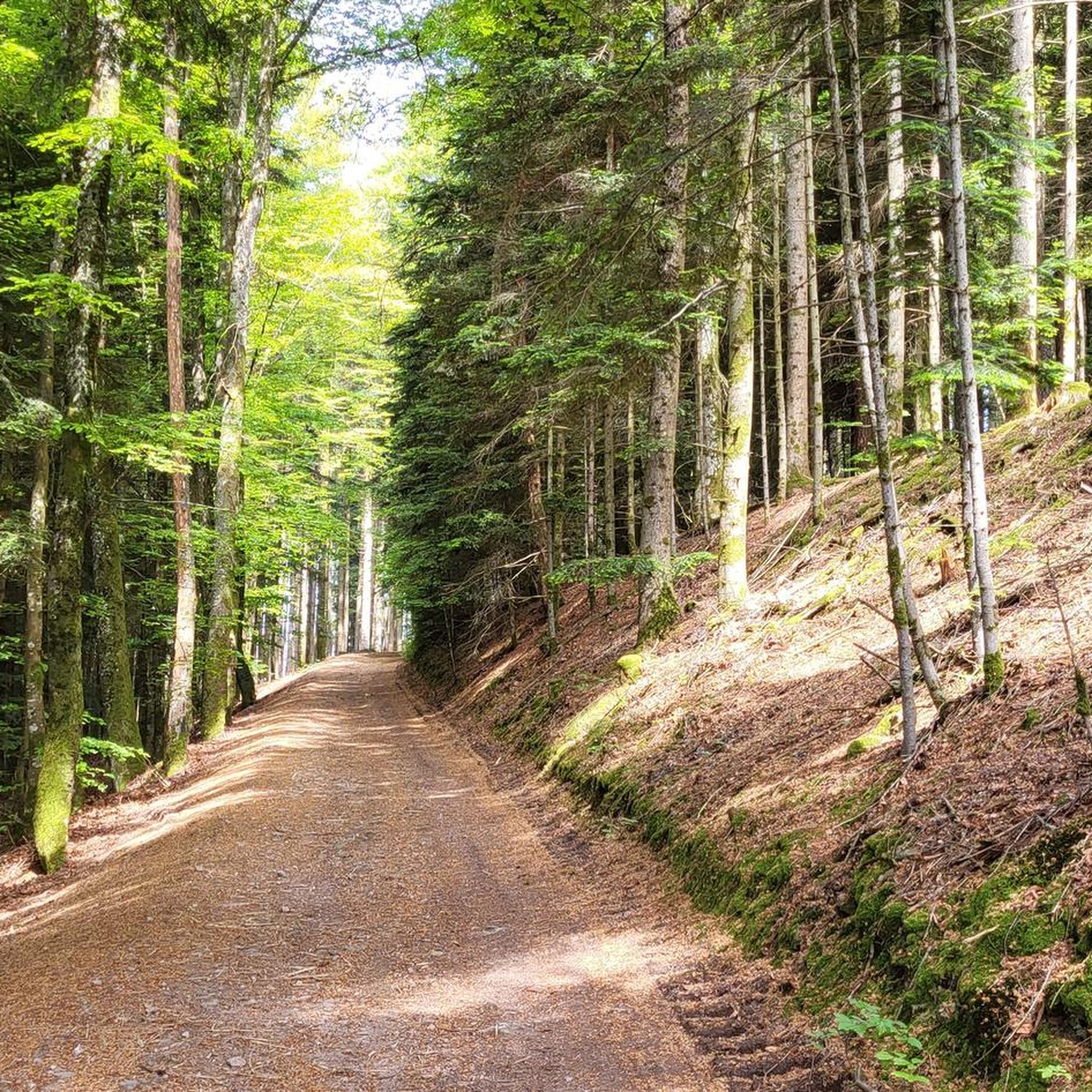
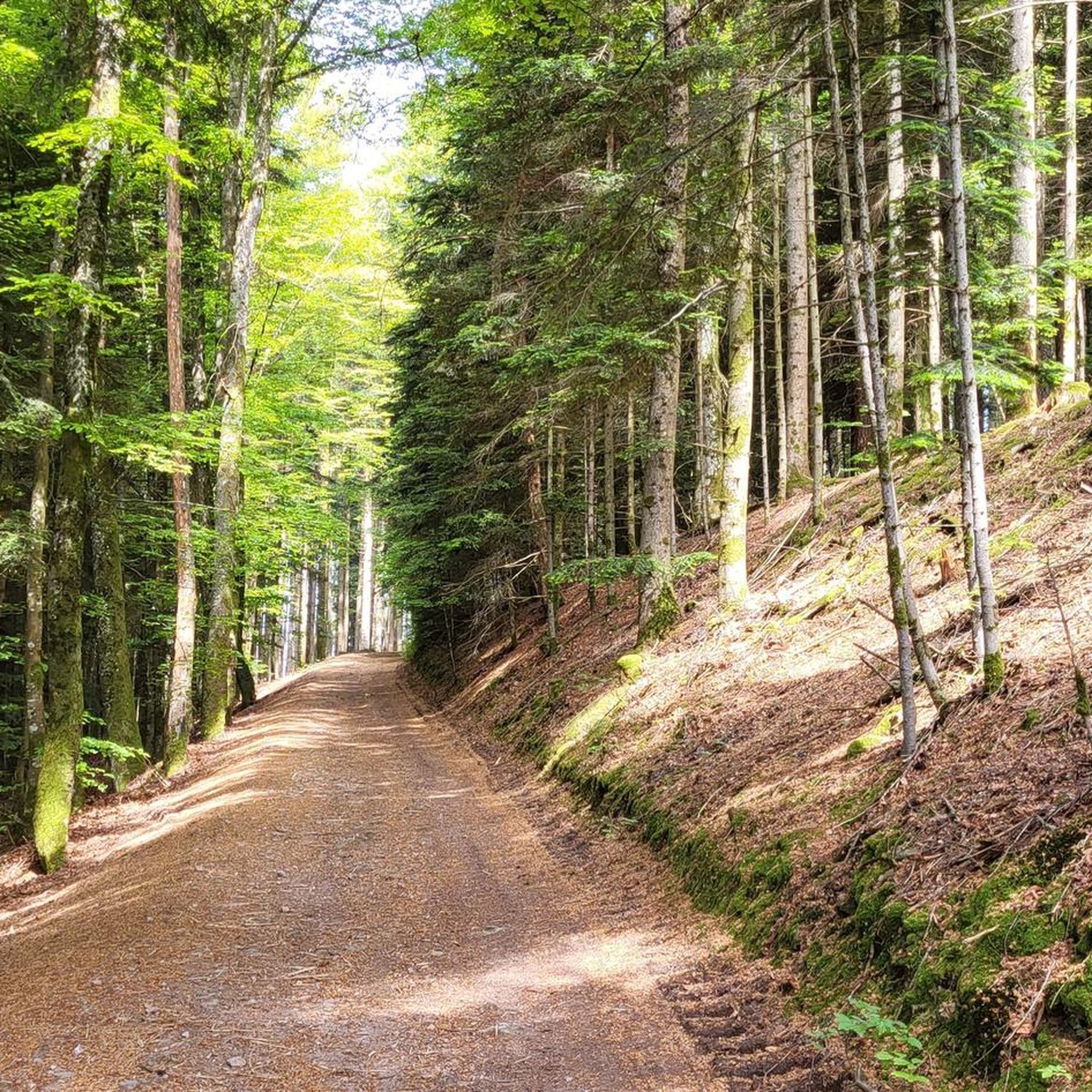
No view, but lots of trees :-)
1
0

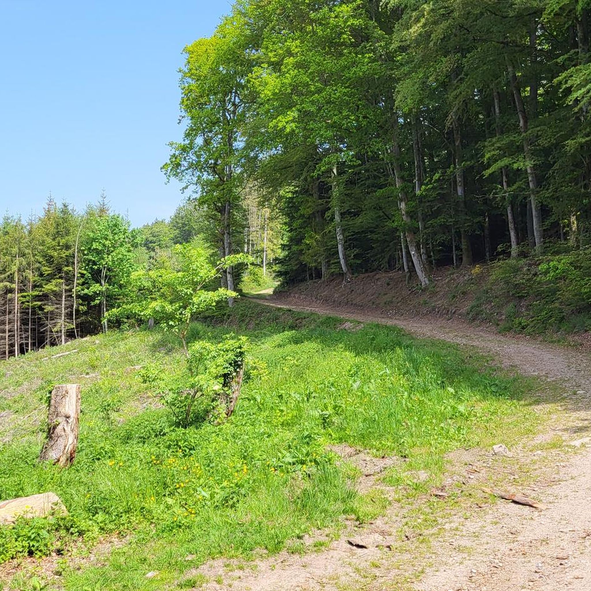
After little average claim you'll Get a terrific view
0
0


Very nice campsite on the Lac de Messires. Quite small, from Dutch owners. No animation or swimming pool scenes, but nice SUPing, canoeing or swimming in the lake. We had a wonderful time there.
0
0

Bench is exactly in the right place.
1
0

on The Hérigoutte Circuit
0
0
Frequently Asked Questions
How many hiking trails are available around Laveline-Devant-Bruyères?
The area around Laveline-Devant-Bruyères offers a wide selection of hiking opportunities, with over 100 marked trails to explore. These routes cater to various preferences, from easy strolls to more challenging excursions through the Vosges landscape.
What are the typical difficulty levels for hikes in this region?
You'll find a good mix of difficulty levels. Approximately 40% of the trails are rated as easy, perfect for a relaxed outing. About 55% are moderate, offering a bit more challenge, and a smaller number of routes are considered difficult for experienced hikers.
Are there any family-friendly hiking options in Laveline-Devant-Bruyères?
Yes, the region is well-suited for family walks. Many trails are easy and pleasant, such as those that wind through forest massifs and charming villages. The area's diverse and preserved rural environment provides a safe and engaging setting for all ages.
Can I find hikes with waterfalls near Laveline-Devant-Bruyères?
Absolutely! The Tendon Waterfalls are a prominent natural attraction. You can visit the Petite Cascade de Tendon and the Grande Cascade de Tendon. A popular 7-kilometer loop hike allows you to discover both magnificent waterfalls, which are best enjoyed outside dry seasons to fully appreciate the flowing water. You can find more details about the Little Waterfall of Tendon and the Tendon waterfalls loop on komoot.
What kind of natural features or landmarks can I expect to see on the trails?
The trails around Laveline-Devant-Bruyères showcase diverse natural beauty. You can explore extensive forests, serene ponds like the Étang de Pointhaie, and unique geological formations such as the Pointhaie Rocks, which often offer panoramic views. Another notable landmark is the Champ de Roches, a unique 'rocky chaos' amidst a fir forest.
Are there any good circular hiking routes?
Yes, many routes in the area are designed as scenic loops, allowing you to start and end at the same point. For example, the Camping Domaine de Messires loop from Beauménil is a moderate 12.6 km trail that takes you through varied forest environments.
What do other hikers say about the trails in Laveline-Devant-Bruyères?
The hiking routes in Laveline-Devant-Bruyères are highly regarded by the komoot community, holding an average rating of 4.6 stars from over 1,600 reviews. Hikers frequently praise the preserved rural environment, the diverse forests, and the well-maintained paths that lead to scenic spots like the Pointhaie Rocks.
What is a good moderate hike to experience the local forests?
For a moderate forest immersion, consider the Camping Domaine de Messires loop from Laveline-devant-Bruyères. This 15.3 km trail leads through varied forest environments, where you can enjoy the sounds of nature and diverse woodlands, typically taking around 4 hours and 11 minutes to complete.
Are there any easy, shorter hikes for a quick outing?
Yes, if you're looking for an easier and shorter option, the Ant Mountain loop from Bruyères is a great choice. This 3.3 km easy trail can be completed in just over an hour, offering a pleasant stroll without significant elevation gain.
What is the best time of year to go hiking in Laveline-Devant-Bruyères?
The region is beautiful throughout the year, but to fully appreciate the waterways, especially the waterfalls, it's best to visit outside the driest seasons. Spring and autumn offer lush landscapes and comfortable temperatures, while the diverse forests provide stunning colors in the fall.
Are dogs allowed on the hiking trails?
While specific regulations can vary by trail, generally, dogs are welcome on most outdoor trails in the Vosges region, provided they are kept under control, ideally on a leash, and owners clean up after them. It's always a good idea to check local signage for any specific restrictions.
Where can I find more information about activities in the area?
For additional information on walks, hikes, and other sports and nature activities in the wider Bruyères region, you can visit the local tourism website: tourisme-bruyeres.com.
Most popular routes around Laveline-Devant-Bruyères
Most popular attractions around Laveline-Devant-Bruyères

Get inspired with the komoot mobile app


Explore more
Browse the best Hikes in other regions.
