The best MTB trails around Domfaing
4.4
(71)
335
riders
38
rides
Mountain bike trails around Domfaing navigate a landscape characterized by rolling hills and forested valleys. The region features varied terrain with notable elevation changes, including passes and climbs. Riders can expect a mix of natural paths and tracks through wooded areas. This area offers a diverse environment for mountain biking.
Best mountain bike trails around Domfaing
- The most popular mountain bike trail is Arrentes Pass loop from La Chapelle-devant-Bruyères, a 21.9 miles (35.2 km) trail that takes 2 hours…
Last updated: July 4, 2026
4.8
(8)
22
riders
Moderate mountain bike ride. Good fitness required. Suitable for all skill levels.
4.7
(6)
23
riders
15.3km
01:15
240m
240m
Easy mountain bike ride. Great for any fitness level. Suitable for all skill levels.

Sign up for free
4.3
(3)
29
riders
Hard mountain bike ride. Good fitness required. Advanced riding skills necessary. Some portions of the route may require you to push your bike.
5.0
(2)
10
riders
Moderate mountain bike ride. Good fitness required. Suitable for all skill levels.
5.0
(4)
13
riders
18.8km
01:35
270m
270m
Easy mountain bike ride. Great for any fitness level. Suitable for all skill levels.
Get access to more routes and recommendations from other explorers.
Sign up for free
Already have an account?
Our route recommendations are based on thousands of hikes, rides, and runs completed by other people on komoot.
Start today with a free account
Your next adventure awaits.
Login or Signup
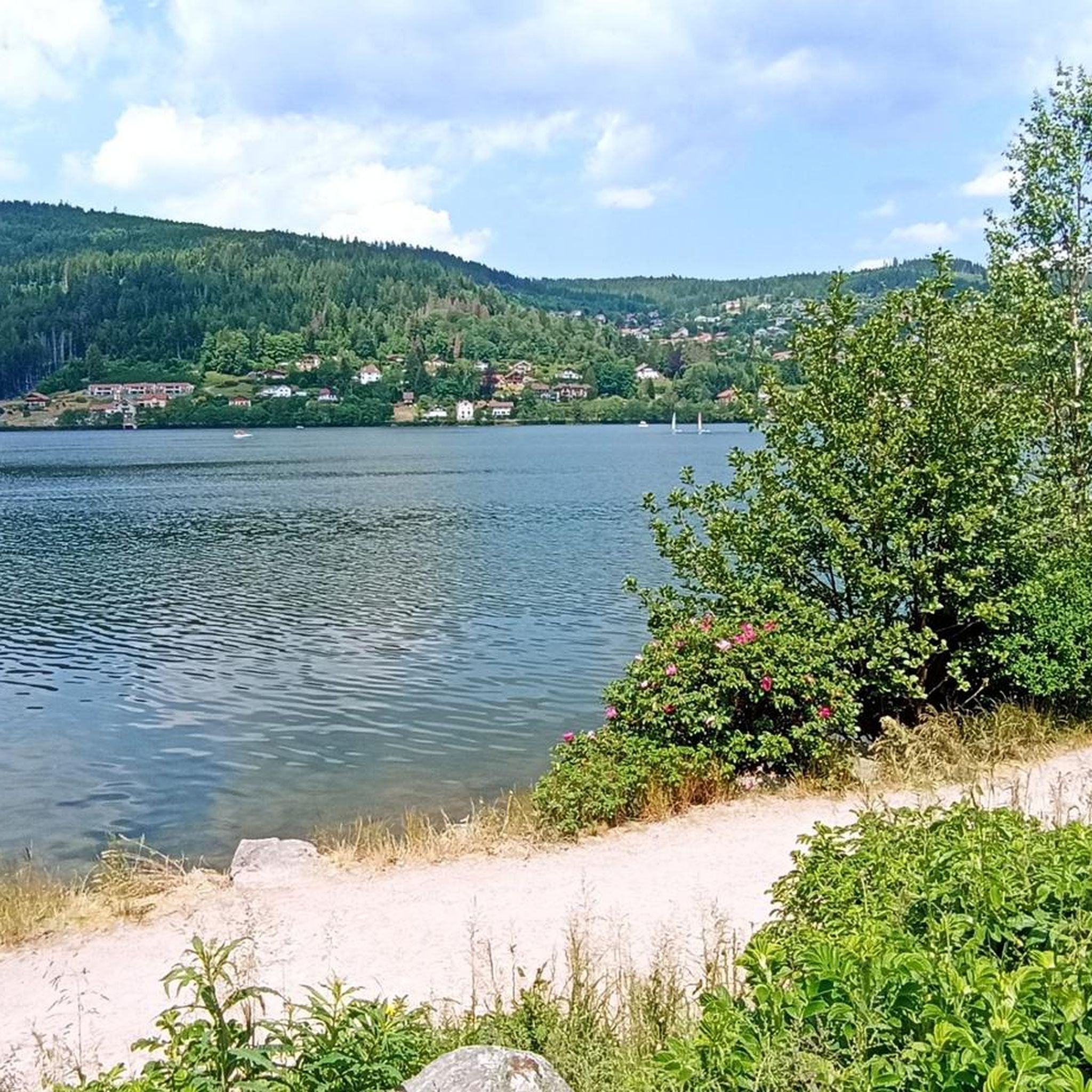
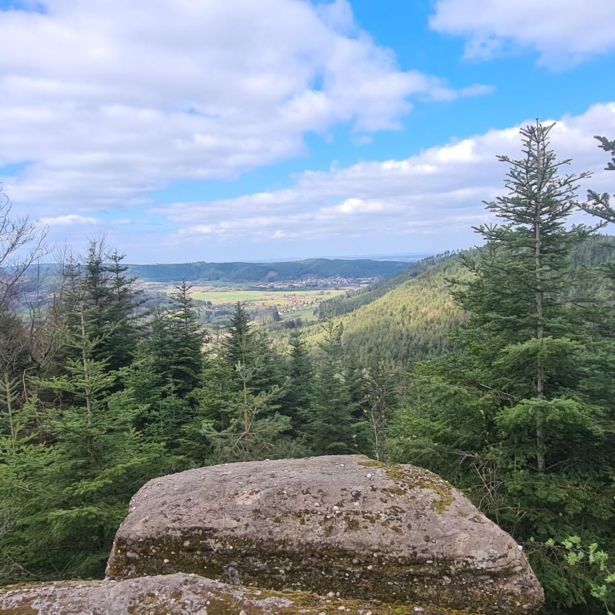
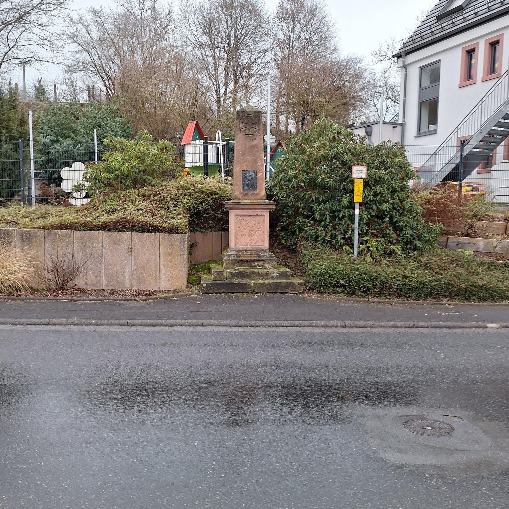
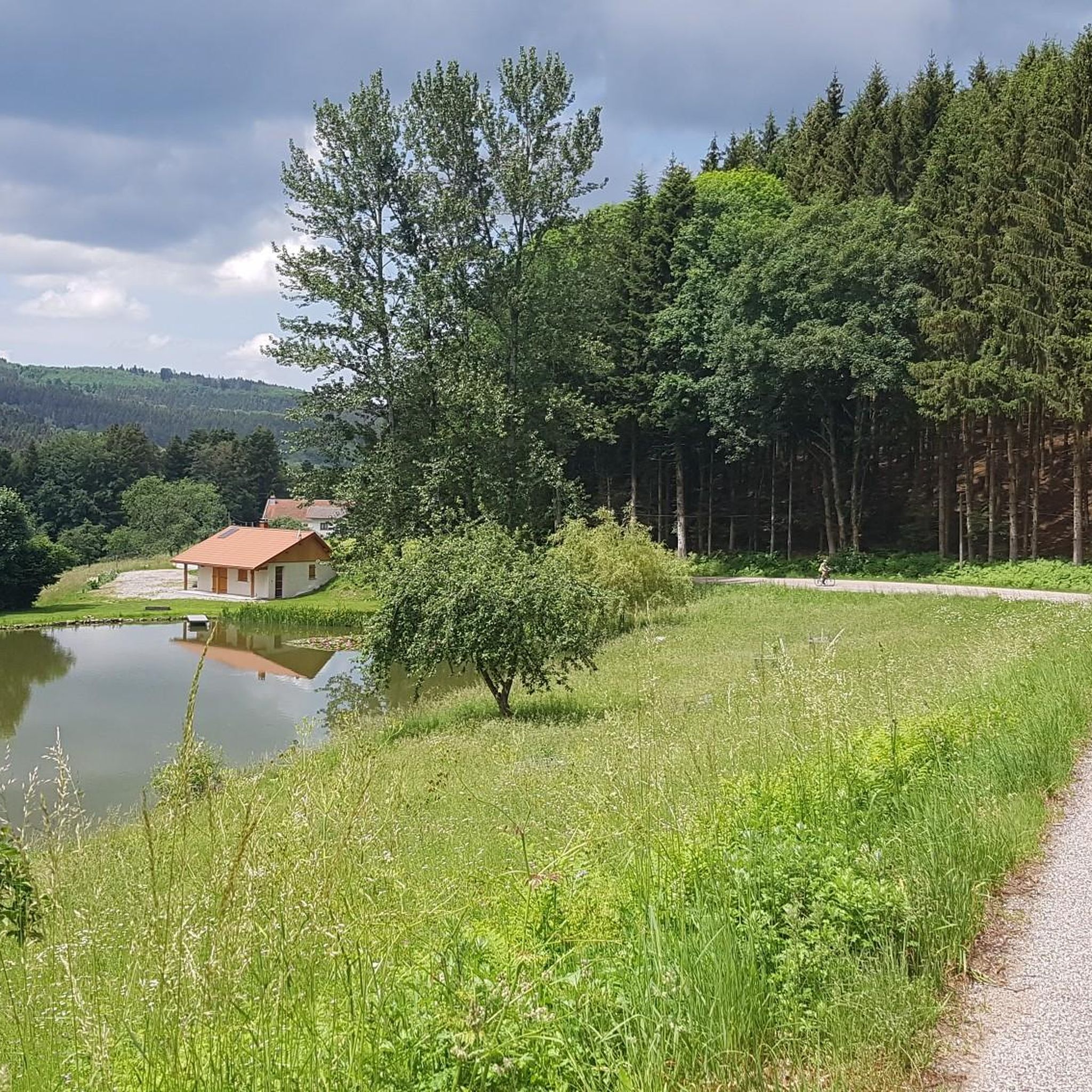
Tips from the Community

super hike in the woods, beautiful views of corcieux. Small elevation gain for 9 km. all very nice.
0
0

As you travel through this serene, wooded valley, you will hear the gentle sound of this stream accompanying your journey. As you follow the trail, you will discover lush vegetation, picturesque waterfalls and an abundance of local flora and fauna.
2
0

Always good to reflect on the victims of a war
0
0


The Col d'Arrentes from Corcieux is 3.4 km long with a total drop of 682 m. The average gradient is 4.1% with maximum gradients of 7%.
3
0


Easy pass with little traffic and a very beautiful panorama over the Corcieux valley
0
0

Very nice campsite on the Lac de Messires. Quite small, from Dutch owners. No animation or swimming pool scenes, but nice SUPing, canoeing or swimming in the lake. We had a wonderful time there.
0
0
Frequently Asked Questions
What are the difficulty levels of mountain bike trails around Domfaing?
The mountain bike trails in Domfaing cater to various skill levels. You'll find a mix of easy, moderate, and difficult routes. Out of 32 available tours, 4 are classified as easy, 23 as moderate, and 5 as difficult, offering options for every rider.
Are there beginner-friendly mountain bike trails in Domfaing?
Yes, Domfaing offers several beginner-friendly mountain bike trails. For an easier ride, consider the Camping Domaine de Messires loop from Laveline-devant-Bruyères, which is 9.5 miles (15.2 km) long with moderate elevation gain. Another good option is the Fays loop from Bruyères, an 11.7 miles (18.8 km) easy route.
What is the typical length of mountain bike trails in Domfaing?
Mountain bike trails in Domfaing vary in length. You can find shorter routes like the 9.5 miles (15.2 km) Camping Domaine de Messires loop from Laveline-devant-Bruyères, up to longer, more challenging rides such as the 24.3 miles (39.0 km) Beautiful view – Cool view.👍😊🍺 loop from Bruyères.
When is the best time of year to go mountain biking in Domfaing?
The best time for mountain biking in Domfaing is generally from spring through autumn. During these seasons, the weather is more favorable, and the trails are typically dry and well-maintained. While some trails might be accessible in winter, conditions can be challenging due to cold, snow, or mud.
Are most mountain bike trails in Domfaing circular routes?
Yes, many of the mountain bike trails around Domfaing are designed as circular routes, offering convenient starting and ending points. Examples include the Arrentes Pass loop from La Chapelle-devant-Bruyères and the Ant Mountain – Camping Domaine de Messires loop from Laveline-devant-Bruyères.
What do other mountain bikers enjoy the most about mountain biking in Domfaing?
The mountain biking experience in Domfaing is highly rated by the komoot community, with an average score of 4.2 stars from nearly 300 visitors. Riders often praise the varied terrain, the scenic forested hills, and the diverse network of trails that cater to different skill levels, from easy rides to challenging ascents.
Are there any interesting landmarks or attractions along the mountain bike trails in Domfaing?
While riding in Domfaing, you can encounter various points of interest. The region features natural highlights like the Pointhaie Rocks. Some routes also pass by facilities such as Camping Domaine de Messires, which can be a convenient stop.
Are there challenging mountain bike routes for experienced riders in Domfaing?
Absolutely. For experienced riders seeking a challenge, Domfaing offers several difficult routes. The region's landscape includes significant elevation changes and passes, providing demanding climbs and descents. There are 5 difficult routes available for those looking for a more intense mountain biking experience.
Is parking available at the trailheads in Domfaing?
While specific parking information for each trailhead isn't always detailed, routes often start from villages or established points like La Chapelle-devant-Bruyères, Bruyères, or Laveline-devant-Bruyères. It's common for these starting locations to have public parking options available for trail users.
Which mountain bike trails offer the best scenic viewpoints in Domfaing?
For expansive views, the Beautiful view – Cool view.👍😊🍺 loop from Bruyères is highly recommended. This moderate 24.3 miles (39.0 km) path is known for its rewarding vistas and varied terrain. The region's forested valleys and rolling hills naturally provide many picturesque spots.
Are there family-friendly mountain bike trails in Domfaing?
Yes, Domfaing has options suitable for families. The easy-rated trails, such as the Camping Domaine de Messires loop from Laveline-devant-Bruyères, are generally less demanding and can be a good choice for families looking for a more relaxed ride. These routes typically feature gentler inclines and well-maintained paths.
Most popular attractions around Domfaing

Get inspired with the komoot mobile app


Explore more
Browse the best MTB trails in other regions.
