The best walks and hikes around Guilligomarc'H
4.5
(187)
1,043
hikers
79
hikes
Hiking around Guilligomarc'H offers a diverse landscape characterized by river valleys, rolling hills, and rocky outcrops. The region features a network of trails that traverse woodlands and open areas, providing varied terrain for outdoor activities. Elevations are generally moderate, with paths often following waterways like the Scorff River. This area provides opportunities for exploring the natural environment of central Brittany.
Best hiking trails around Guilligomarc'H
- The most popular hiking route is Les roches du diable et le moulin Mouhot —…
Last updated: July 2, 2026
4.1
(14)
62
hikers
10.7km
02:57
180m
180m
Moderate hike. Good fitness required. Easily-accessible paths. Suitable for all skill levels.
4.3
(3)
17
hikers
7.09km
01:55
100m
100m
Easy hike. Great for any fitness level. Easily-accessible paths. Suitable for all skill levels.

Sign up for free
3.5
(8)
34
hikers
4.95km
01:24
100m
100m
Easy hike. Great for any fitness level. Easily-accessible paths. Suitable for all skill levels.
4.6
(8)
19
hikers
9.14km
02:31
150m
150m
Moderate hike. Good fitness required. Easily-accessible paths. Suitable for all skill levels.
4.0
(2)
8
hikers
16.8km
04:40
310m
310m
Moderate hike. Good fitness required. Easily-accessible paths. Suitable for all skill levels.
Get access to more routes and recommendations from other explorers.
Sign up for free
Already have an account?
Our route recommendations are based on thousands of hikes, rides, and runs completed by other people on komoot.
Start today with a free account
Your next adventure awaits.
Login or Signup


Tips from the Community


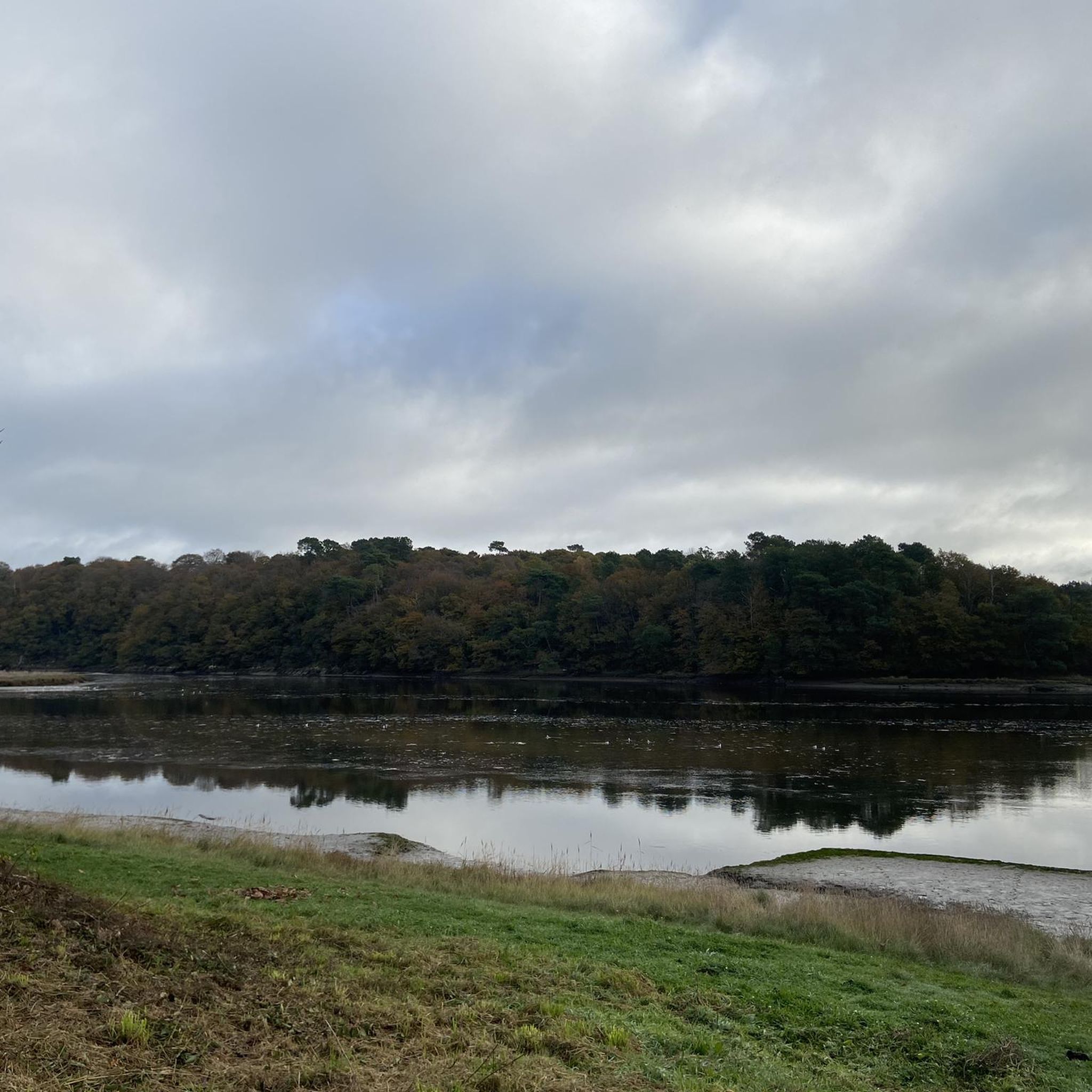
A magnificent view that makes you want to stay there and contemplate for a long time
0
0

Scattered along the river and its banks, these huge rocks form a fascinating landscape.
2
0
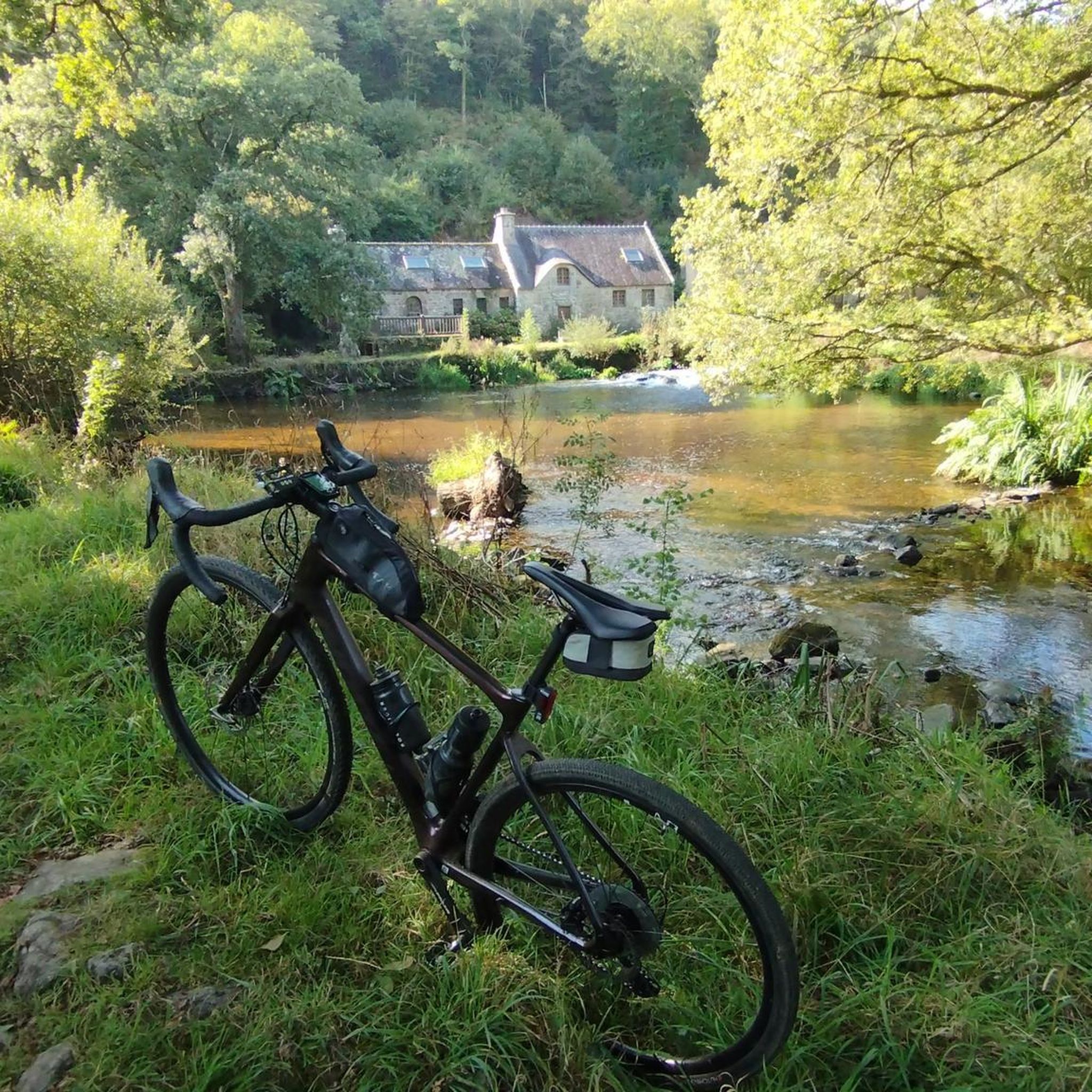
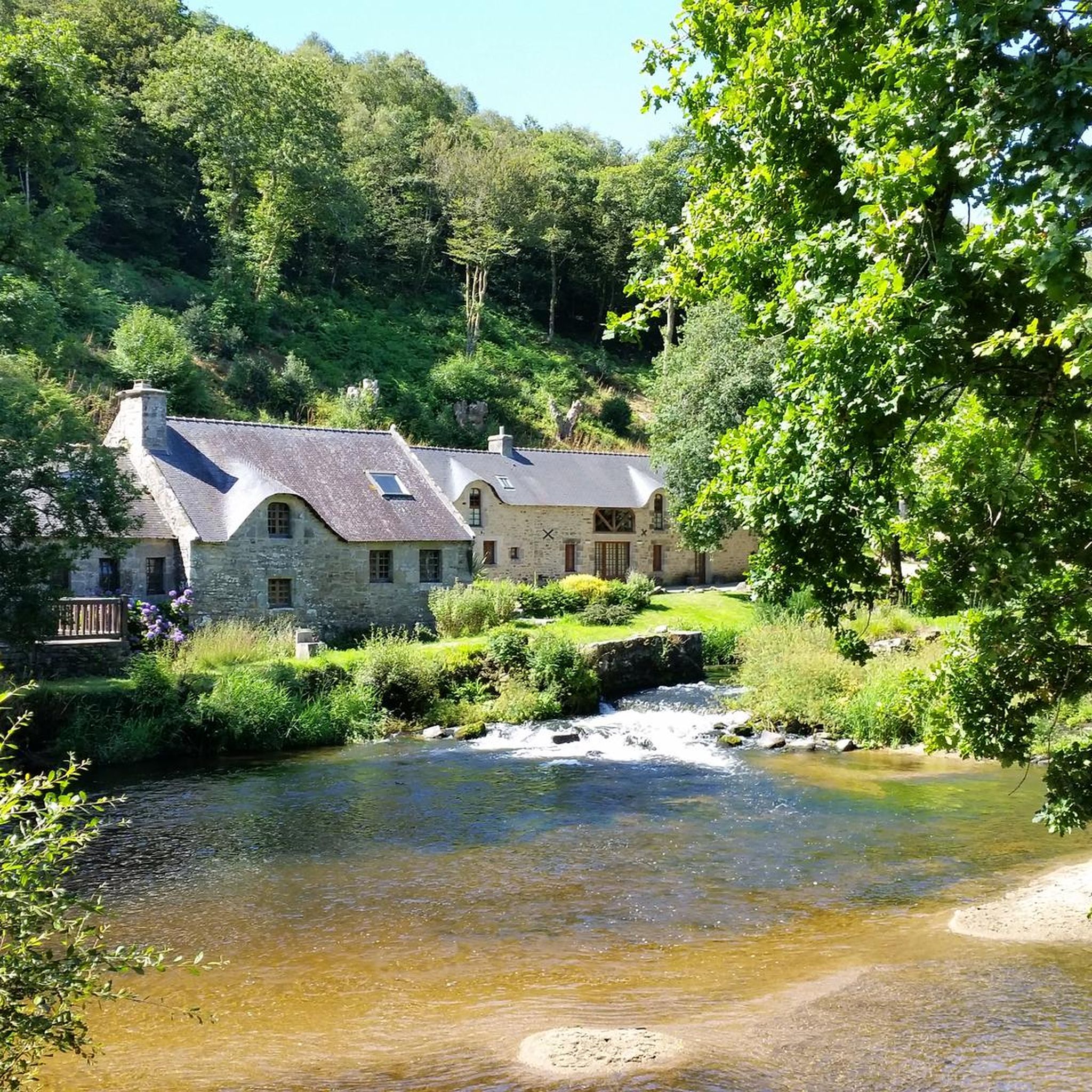
This beautiful stone mill located near the river is a real feast for the eyes and a very pleasant place to visit.
2
0
very well laid out path along the scorff. for hiking and mountain biking
0
0

So calming place! Be careful in winter this place can be flooded
0
0

Incomparable natural site. It's not passable by bike, but it's worth the detour
0
0
An incomparable site, it's magnificent! whether you come from the GR or the FFC-VTT course N ° 1.
0
0
Frequently Asked Questions
How many hiking trails are available in Guilligomarc'H?
There are over 70 hiking trails around Guilligomarc'H, offering a wide range of options for all skill levels. You'll find paths traversing river valleys, woodlands, and open areas, with elevations generally being moderate.
Are there easy hiking trails suitable for beginners or short walks?
Yes, Guilligomarc'H offers more than 30 easy hiking trails. A great option for a shorter, gentle walk is the Devil's Rocks loop from Locunolé, which is 3.1 miles (5.0 km) and takes about 1 hour 23 minutes to complete.
Can I find family-friendly hiking routes in Guilligomarc'H?
Many of the easy trails in Guilligomarc'H are suitable for families. The paths often follow the Scorff River through woodlands, providing pleasant and accessible terrain. Consider the Along the Scorff — loop from Kerhuennec, an easy 4.4-mile (7.1 km) path with scenic river views.
Are dogs allowed on the hiking trails in Guilligomarc'H?
Generally, dogs are welcome on trails in the Guilligomarc'H region, especially on lead. The diverse landscape of river valleys and woodlands provides a great environment for walks with your canine companion. Always check local signage for specific restrictions in certain areas or nature reserves.
Are there any circular walks in Guilligomarc'H?
Yes, many of the trails in Guilligomarc'H are designed as circular routes, allowing you to start and end at the same point. For example, the popular Les roches du diable et le moulin Mouhot — boucle depuis Locunolé is a moderate 6.6-mile (10.7 km) loop that explores the Devil's Rocks area.
What kind of natural attractions or landmarks can I see while hiking?
The region is known for its river valleys, rocky formations like the Devil's Rocks, and extensive woodlands. You can also explore historical sites nearby such as the Sainte-Croix Abbey in Quimperlé or the charming Chapelle Sainte-Anne des Bois.
What do other hikers enjoy most about the trails in Guilligomarc'H?
The trails in Guilligomarc'H are highly rated by the komoot community, with an average score of 4.6 stars from over 160 reviews. Hikers often praise the varied terrain, the peaceful river paths, and the natural beauty of the woodlands and rocky outcrops.
Are there any challenging hikes in the area?
While most trails are easy to moderate, there are a few more challenging options for experienced hikers. The region offers 3 difficult routes, often featuring longer distances and more significant elevation changes, such as the Devil's Rocks – Moulin Mouhot loop from Locunolé, which is 16.8 km (10.4 miles).
Is there parking available at the trailheads?
Parking is generally available near popular trailheads and villages like Locunolé and Kerhuennec, which serve as common starting points for many routes. It's advisable to check specific route descriptions for detailed parking information.
What is the best time of year to go hiking in Guilligomarc'H?
The best time to hike in Guilligomarc'H is typically from spring through autumn, when the weather is mild and the natural scenery is vibrant. Spring brings blooming flora, while autumn offers beautiful fall colors in the woodlands. Summer is also popular, but trails can be busier.
Are there opportunities for wild swimming near the hiking trails?
The Scorff River flows through the region, and while specific designated wild swimming spots are not widely advertised, locals may know of suitable areas. Always exercise caution, check water conditions, and be aware of private property or environmental regulations if considering a dip.
Most popular routes around Guilligomarc'H
Most popular attractions around Guilligomarc'H

Get inspired with the komoot mobile app


Explore more
Browse the best Hikes in other regions.
