The best MTB trails around Dompnac
4.4
(86)
454
riders
35
rides
Mountain biking around Dompnac features a landscape characterized by significant elevation changes, with routes traversing high passes and offering expansive viewpoints. The region includes features like the Watershed and various cols, indicating a mountainous and often rugged terrain. Trails frequently lead through valleys and past notable peaks, providing diverse riding experiences.
Best mountain bike trails around Dompnac
- The most popular mountain bike trail is Watershed – Mazan-l'Abbaye loop from Mayres, a 56.3 miles (90.6 km) trail that takes about…
Last updated: October 25, 2026
4.3
(3)
39
riders
45.5km
04:49
1,390m
1,390m
Hard mountain bike ride. Very good fitness required.
4.8
(4)
52
riders
80.5km
07:58
1,990m
1,990m
Hard mountain bike ride. Very good fitness required. Advanced riding skills necessary.

5.0
(3)
15
riders
31.3km
03:13
990m
990m
Hard mountain bike ride. Very good fitness required. Advanced riding skills necessary. Some portions of the route may require you to push your bike.
4.3
(7)
9
riders
Easy mountain bike ride.
5.0
(1)
5
riders
46.1km
04:53
1,380m
1,380m
Hard mountain bike ride. Very good fitness required. Advanced riding skills necessary. Some portions of the route may require you to push your bike.
Get access to more routes and recommendations from other explorers.
Already have an account?
Our route recommendations are based on thousands of hikes, rides, and runs completed by other people on komoot.
Start today with a free account
Your next adventure awaits.

Tips from the Community

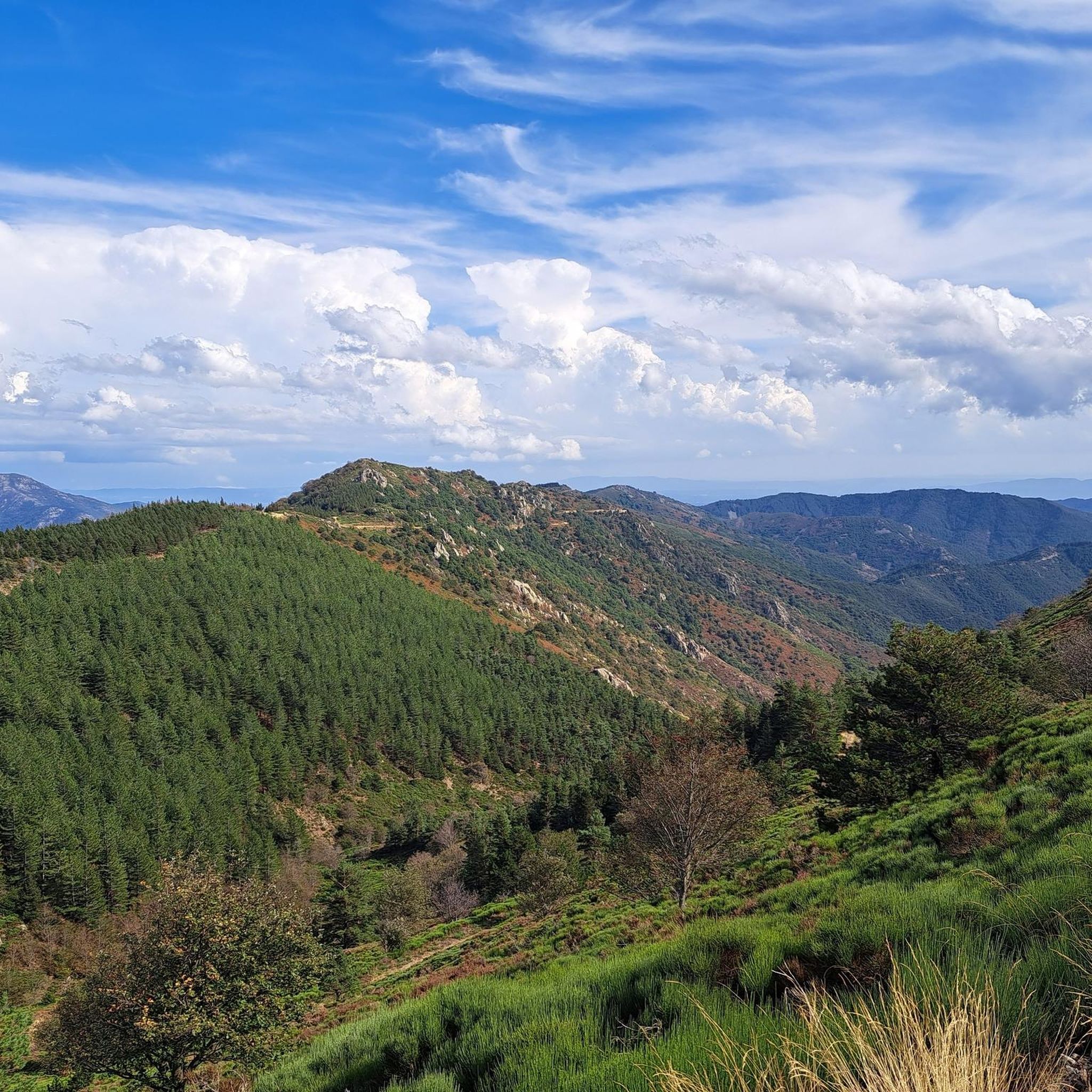
One of the prettiest views in the region. I was lucky enough to have a magnificent blue sky. Pure happiness
0
0

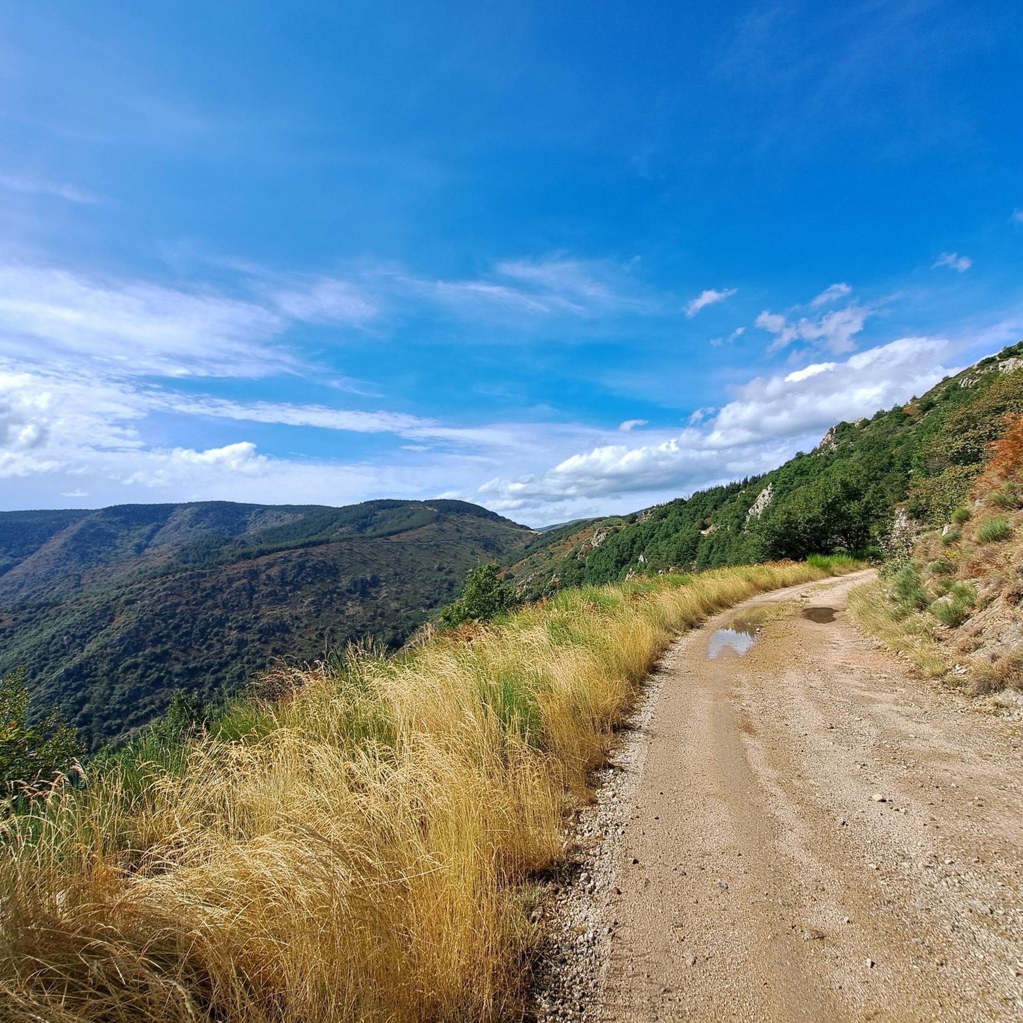
Sustained climb but doable on gravel with wide tires. The descent on gravel would be no fun, always on the brakes. Be careful on the ridge at the col de Sucheyre, the stones are very aggressive, I tore the sidewall of my tire.
0
0


The view from the pass over the Monts d'Ardèche Regional Natural Park is breathtakingly beautiful. The new Meyrand viewpoint, a little south of the summit of the pass, was inaugurated in July 2024. It offers an exceptional panorama of the Monts d'Ardèche, the Cévennes, and you can even see as far as Mont Ventoux.
0
0

Climbing up to the Col du Meyrand from Valgorge, you get a magnificent view of the gorges of the valley from which you came. To do this, you have to overcome sixteen kilometers at an average of 5.1%.
1
0

Break for lunch at the Lanarce pizzeria, a treat, and always well received
0
0

The Col du Pendu from the Col du Bez is short (3 km) but with an average gradient of 7% peaking at 1,435 meters above sea level with sections at a maximum gradient of 8.5%.
0
0
Frequently Asked Questions
How many mountain bike trails are available in Dompnac?
There are over 30 mountain bike trails around Dompnac, offering a variety of experiences from challenging long-distance routes to shorter, more accessible loops. The region is known for its significant elevation changes and scenic viewpoints.
Are there easy mountain bike trails suitable for beginners in Dompnac?
Yes, Dompnac offers some easier mountain bike trails. For example, the Col de Meyrand Viewpoint – Signal de Coucoulude (1,448 m) loop from Col de la Croix de Bauzon is an easy 8.0-mile (12.9 km) trail that takes about 1 hour 16 minutes to complete, leading through high-altitude viewpoints.
What are the typical lengths of mountain bike trails in Dompnac?
The mountain bike trails in Dompnac vary significantly in length. You can find shorter loops, such as the 8.0-mile (12.9 km) Col de Meyrand Viewpoint – Signal de Coucoulude (1,448 m) loop, as well as demanding long-distance routes like the 56.3-mile (90.6 km) Watershed – Mazan-l'Abbaye loop from Mayres.
What kind of terrain can I expect on mountain bike trails in Dompnac?
Mountain biking around Dompnac features a landscape characterized by significant elevation changes. Trails frequently traverse high passes, valleys, and notable peaks, offering rugged and varied terrain. You'll encounter challenging ascents and scenic viewpoints throughout the region.
Are there any circular mountain bike routes in Dompnac?
Yes, many of the mountain bike trails in Dompnac are designed as loops. Examples include the challenging Croix de Millet Pass – Beaume Valley loop from Valgorge, which is 24.3 miles (39.0 km), and the extensive Watershed – Col de Meyrand Viewpoint loop from Col de la Croix de Bauzon, spanning 53.8 miles (86.6 km).
What can I see along the mountain bike trails in Dompnac?
The trails often lead past natural monuments and scenic viewpoints. You might encounter the La Drobie Valley, enjoy an Outstanding view of the Beaume, or pass by the Col de Meyrand Viewpoint. The region's mountainous character ensures plenty of impressive vistas.
What do other mountain bikers enjoy most about mountain biking in Dompnac?
The mountain bike trails in Dompnac are highly rated by the komoot community, with an average score of 4.6 stars from over 60 reviews. Riders often praise the challenging ascents, the diverse terrain, and the expansive, scenic viewpoints found throughout the region's high mountain passes.
Is Dompnac suitable for advanced mountain bikers looking for a challenge?
Absolutely. Dompnac is well-suited for advanced mountain bikers, with 16 difficult trails available. Routes like the Watershed – Mazan-l'Abbaye loop from Mayres, at 56.3 miles (90.6 km) with substantial climbs, offer significant challenges and rewarding experiences.
Are there any specific natural landmarks or attractions to look out for?
Yes, the region boasts several natural highlights. Keep an eye out for the Peyralade Spring, the dramatic La Drobie Valley, and the Watershed itself, which is a prominent feature in many routes.
What is the best time of year for mountain biking in Dompnac?
Given the region's mountainous terrain and high passes, late spring through early autumn typically offers the most favorable conditions for mountain biking in Dompnac. During these months, trails are generally clear of snow, and the weather is more stable, allowing for comfortable riding and optimal visibility of the scenic viewpoints.
Can I find trails that offer views of the surrounding landscape?
Many trails in Dompnac are specifically known for their panoramic views. The Col de Meyrand Viewpoint is a notable highlight, and routes often lead through high-altitude areas designed to showcase the expansive vistas of the mountainous landscape.
Most popular attractions around Dompnac

Get inspired with the komoot mobile app


Explore more
Browse the best MTB trails in other regions.
