Top 6 Mountain Passes around Sablières
Best mountain passes around Sablières are located within the Monts d'Ardèche Regional Natural Park in southern France. This area provides access to several mountain passes known for their routes and views. The region's geography offers varied terrain suitable for outdoor activities. Sablières serves as a base for exploring these passes, which connect different valleys and offer perspectives of the surrounding landscape.
Best mountain passes around Sablières
- The most popular mountain passes is Col de la Croix Blanche (White Cross Pass)…
Last updated: July 10, 2026
Col de la Croix Blanche (White Cross Pass)
Highlight • Mountain Pass
Translated by Google •
Tip by

Croix de Rocles Pass
Highlight • Mountain Pass
Translated by Google •
Tip by
Sign up now to discover places like this
Get recommendations on the best single tracks, peaks, & plenty of other exciting outdoor places.
Sign up for free
Col de la Croix de Bauzon
Highlight • Mountain Pass
Translated by Google •
Tip by

Col du Pendu
Highlight • Mountain Pass
peaking at 1,435 meters above sea level with sections at a maximum gradient of 8.5%.
Translated by Google •
Tip by

Col du Chap del Bosc
Highlight • Mountain Pass
Translated by Google •
Tip by
Sign up for free to discover even more mountain passes around Sablières.
Sign up for free
Already have an account?
Start today with a free account
Your next adventure awaits.
Login or Signup
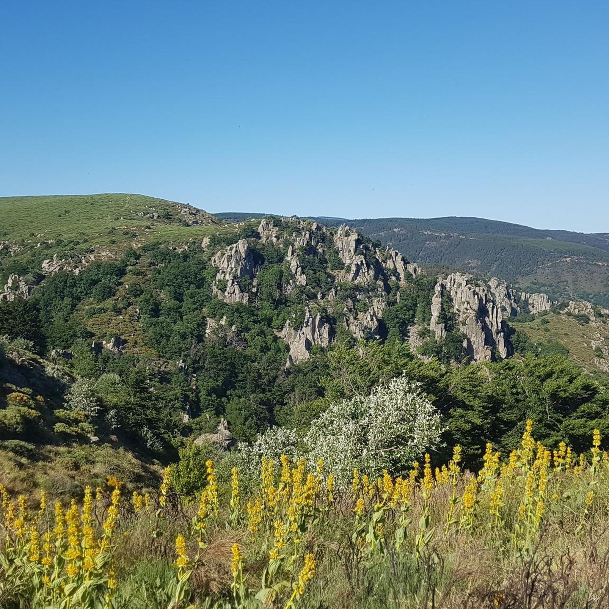
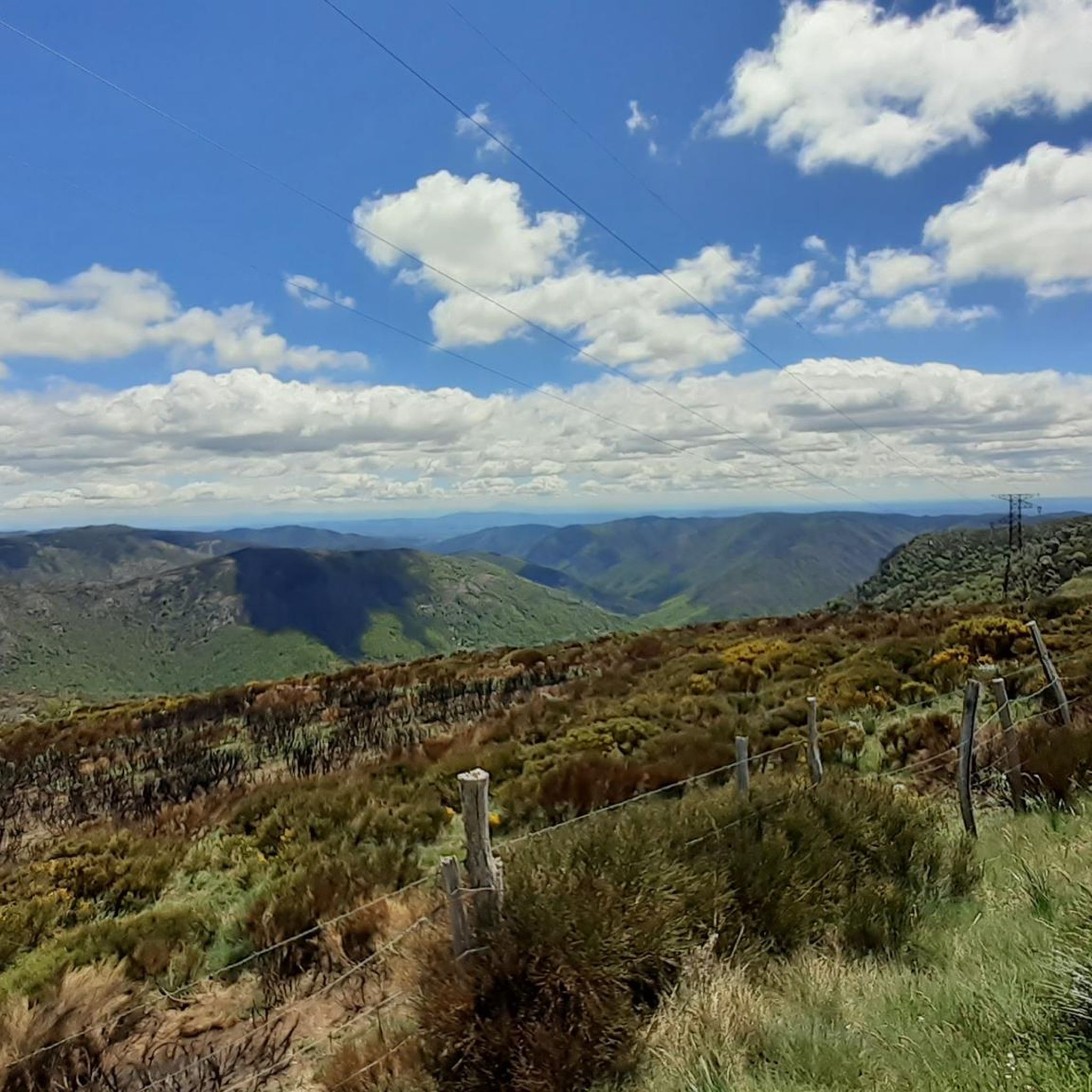
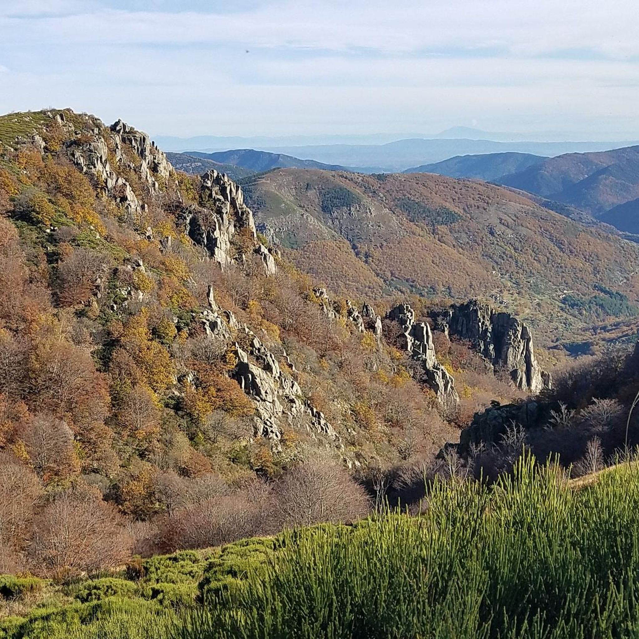
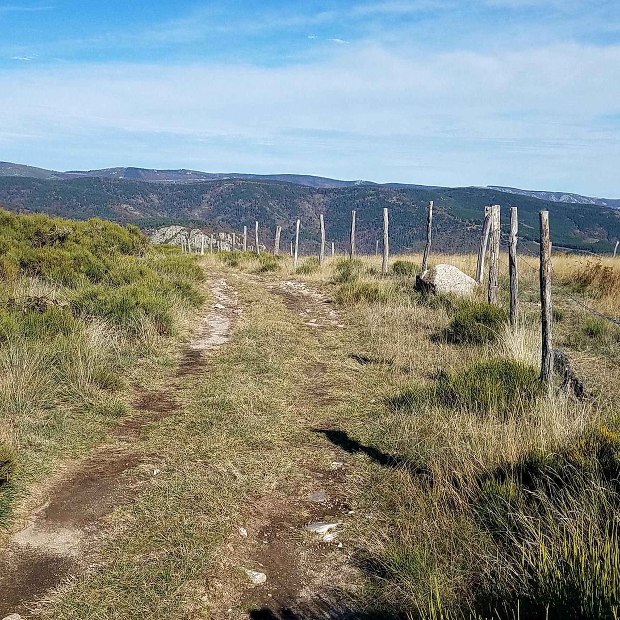

Tips from the Community


Break for lunch at the Lanarce pizzeria, a treat, and always well received
0
0

The Col du Pendu from the Col du Bez is short (3 km) but with an average gradient of 7% peaking at 1,435 meters above sea level with sections at a maximum gradient of 8.5%.
0
0

Magnificent views, awesome climbs and climbs :)
0
0

The Col de la Croix Blanche from Chambonas is 14.3 kilometers long with a total elevation gain of 770 meters. The average slope is 5.4% with maximum slopes of 10.9%.
2
0
The Col du Chap del Bosc is 10.8 km long with a total drop of 344 m. The average gradient is 3.2% with maximum gradients of 8.3%.
0
0
The Col de la Croix de Rocles from Luth is 1.8 km long with a total drop of 80 m. The average gradient is 4.4% with maximum gradients of 8.2%.
1
0

Very nice climb starting from the Souche with an arrival at the pass worthy of the Alps.
0
0
Frequently Asked Questions
What makes the mountain passes around Sablières unique?
The mountain passes around Sablières, nestled within the Monts d'Ardèche Regional Natural Park, are renowned for their challenging routes, breathtaking panoramic views, and their appeal to both cyclists and hikers. They serve as crucial links between valleys, offering diverse perspectives of the surrounding landscape.
Which mountain passes offer the best panoramic views?
For exceptional panoramic views, the Col de Meyrand features a new belvedere made from local chestnut wood, offering vistas across the Monts d'Ardèche, the Cévennes, and even Mont Ventoux on clear days. The Col du Pendu also provides expansive views that can include the distant Alps, Vercors, Mont Gerbier de Jonc, and Mont Ventoux.
Are there challenging mountain passes for experienced cyclists or hikers?
Yes, several passes offer challenging experiences. The Col de Meyrand is particularly popular among cyclists, featuring in the long routes of the Ardéchoise cyclosportive, with an average gradient of 4.6% over 22.5 km from one approach. The Col du Pendu also presents a challenging cycling experience with a 3 km climb averaging 6.7% from Col du Bez.
Are there easier mountain passes suitable for casual visitors or families?
While many passes offer challenging routes, the Col de la Croix de la Femme Morte, located near Sablières, is often included in local hiking loops, providing more accessible opportunities directly from the commune for those seeking a connection to the local landscape without extreme difficulty.
What kind of natural features can I expect to see on these passes?
The passes are set within the Monts d'Ardèche Regional Natural Park, offering stunning natural beauty. You can expect to see diverse landscapes, including small waterfalls on the journey to Col de Meyrand, and extensive views of valleys, prominent peaks, and distant mountain ranges from various viewpoints.
What is the best time of year to visit the mountain passes near Sablières?
The region is generally best visited during spring, summer, and early autumn for hiking and cycling, when the weather is milder and conditions are more favorable. Some passes, like Col de la Croix de la Femme Morte, are used for outdoor activities even in colder months, but specific conditions should be checked.
What are the characteristics of Col de la Croix Blanche?
The Col de la Croix Blanche (White Cross Pass) from Chambonas is a significant ascent, 14.3 kilometers long with a total elevation gain of 770 meters. It features an average slope of 5.4% and maximum slopes reaching 10.9%, offering magnificent views and challenging climbs.
What can I expect at Col de la Croix de Bauzon?
Col de la Croix de Bauzon is an intermediate mountain pass and viewpoint. It offers a notable climb, particularly from Souche, with an arrival at the pass that some compare to the Alps, providing rewarding views from its summit.
What outdoor activities are popular around the mountain passes near Sablières?
The area around Sablières is excellent for various outdoor activities. You can find numerous routes for hiking, including moderate and difficult trails like the 'La Drobie loop from Sablières' or 'La Drobie – Giant Sequoia loop from Col de la Croix de la Femme Morte'. Gravel biking is also popular, with routes such as 'Col de Meyrand Viewpoint – View from Col de Meyrand loop from Mayres'. Additionally, there are running trails available.
Are there specific hiking trails associated with these mountain passes?
Yes, many passes are integrated into local hiking networks. For instance, the Col de la Croix de la Femme Morte is a common feature in hiking loops originating from Sablières. You can explore various hiking routes in the region, ranging from moderate to difficult.
Are there cycling routes that incorporate these mountain passes?
Absolutely. The mountain passes in this region are a cyclist's paradise. The Col de Meyrand is a highlight for road cyclists, often part of major cyclosportive events. The Col du Pendu also offers a notable cycling climb. For gravel biking, routes like 'Col de Meyrand Viewpoint – View from Col de Meyrand loop from Mayres' are available in the gravel biking guide.
What is the Col du Chap del Bosc like?
The Col du Chap del Bosc is a mountain pass that stretches 10.8 km with a total elevation gain of 344 meters. It features an average gradient of 3.2%, with maximum gradients reaching 8.3%, making it a moderately challenging climb.
Most popular routes around Sablières
Most popular attractions around Sablières

Get inspired with the komoot mobile app


Explore more
See even more epic mountain passes by checking out these guides around Sablières:
