The best walks and hikes around Lavercantière
4.5
(192)
793
hikers
78
hikes
Hiking around Lavercantière offers diverse landscapes in the Lot department, near the Dordogne. The region is characterized by a blend of dry limestone plateaus, known as causses, and humid valleys, typical of the Bouriane area. Hikers can explore varied terrain, including heather and gorse moorlands, and enjoy proximity to the Causses du Quercy Natural Regional Park. This area provides a network of trails through natural beauty and picturesque villages.
Best hiking trails around Lavercantière
- The most popular hiking route is…
Last updated: July 13, 2026
4.8
(4)
13
hikers
9.68km
02:36
120m
120m
Moderate hike. Good fitness required. Easily-accessible paths. Suitable for all skill levels.
4.8
(4)
14
hikers
9.18km
02:28
110m
110m
Moderate hike. Good fitness required. Easily-accessible paths. Suitable for all skill levels.

Sign up for free
5.0
(1)
9
hikers
13.0km
03:40
260m
260m
Moderate hike. Good fitness required. Easily-accessible paths. Suitable for all skill levels.
5.0
(2)
9
hikers
12.2km
03:26
250m
250m
Moderate hike. Good fitness required. Easily-accessible paths. Suitable for all skill levels.
4.3
(4)
7
hikers
8.34km
02:19
150m
150m
Moderate hike. Good fitness required. Easily-accessible paths. Suitable for all skill levels.
Get access to more routes and recommendations from other explorers.
Sign up for free
Already have an account?
Our route recommendations are based on thousands of hikes, rides, and runs completed by other people on komoot.
Start today with a free account
Your next adventure awaits.
Login or Signup

Tips from the Community

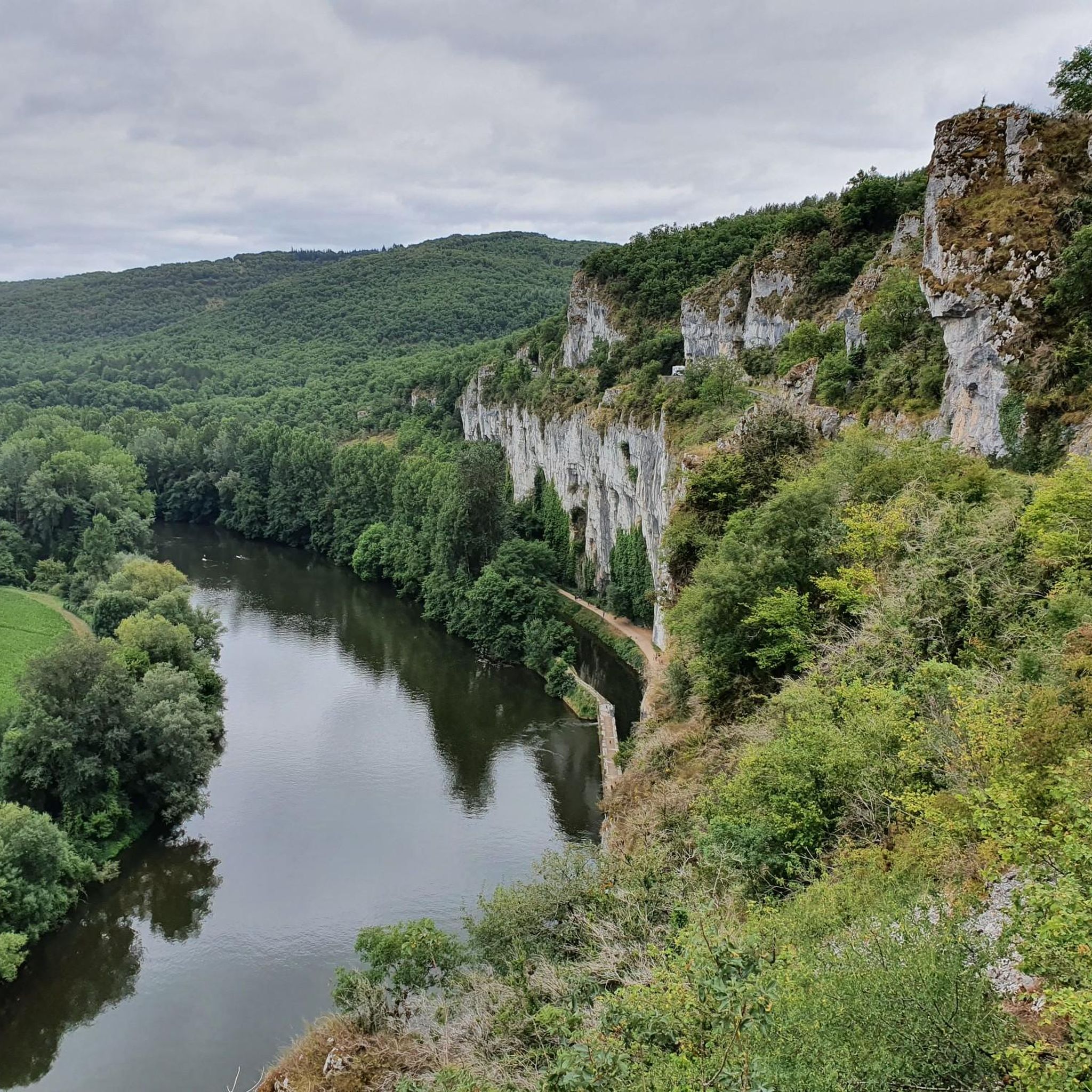
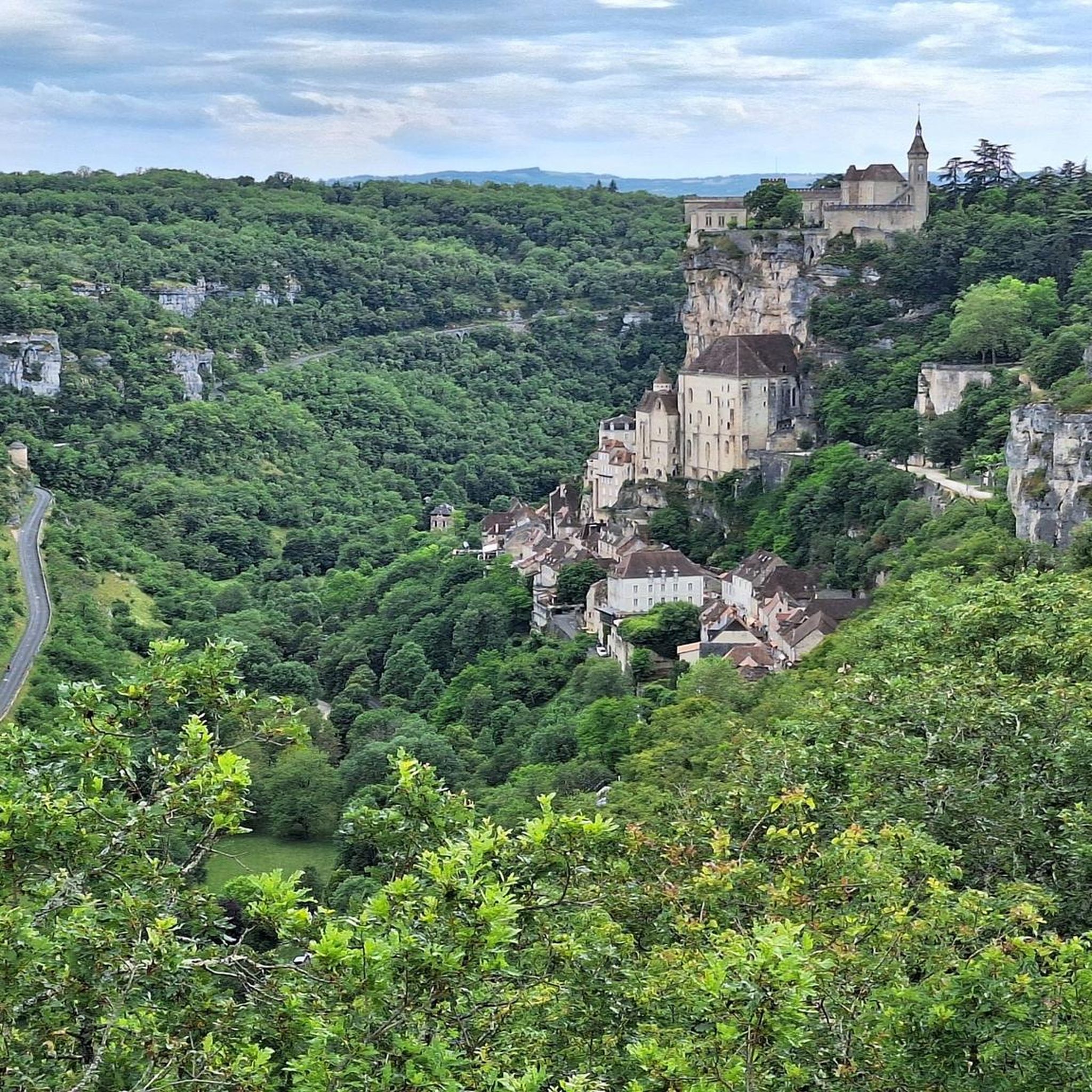
Lavercantière is surrounded by beautiful forests and rivers. Take a stroll through the village centre. You won't be disappointed. A superb fortified church adjoins an equally remarkable medieval castle.
0
0

Frequently Asked Questions
How many hiking trails are available around Lavercantière?
There are over 70 hiking trails around Lavercantière, offering a wide range of options for different preferences. This includes more than 30 easy routes and 40 moderate trails, with a few more challenging options for experienced hikers.
Are there any easy or family-friendly hiking options in Lavercantière?
Yes, Lavercantière offers over 30 easy trails suitable for families and those looking for a relaxed walk. The region's diverse terrain, including moorlands and valleys, provides gentle paths. For example, the Circuit des landes du Frau is a 2.5 km path through heather and gorse moorlands, recognized as an important ecological reserve and suitable for families.
What kind of landscapes can I expect to see while hiking in Lavercantière?
Hiking in Lavercantière offers a blend of varied landscapes characteristic of the Bouriane area. You'll encounter dry limestone plateaus (causses), humid valleys, and unique moorlands with heather and gorse. Many routes also pass through picturesque villages and past traditional stone huts known as 'gariottes'.
Are there circular hiking routes available in Lavercantière?
Yes, many of the trails around Lavercantière are circular, allowing you to start and end your hike in the same location. An example is the Hiking loop from Rampoux, a moderate 9.7 km path featuring gentle elevation changes through the local countryside.
What are the typical distances and durations for hikes in this region?
Hikes around Lavercantière vary in distance and duration. Many popular routes are moderate, ranging from 8 to 10 kilometers and typically taking between 2 to 3 hours to complete. For instance, the Hiking loop from Lavercantière is 8.3 km and usually takes about 2 hours 19 minutes.
What do other hikers say about the trails in Lavercantière?
The hiking routes in Lavercantière are highly rated by the komoot community, with an average score of 4.5 stars from over 175 reviews. Hikers often praise the varied terrain, the natural beauty of the landscapes, and the well-maintained paths that offer a pleasant outdoor experience.
Are there any interesting landmarks or attractions near the hiking trails?
Yes, the region around Lavercantière is rich in cultural and natural attractions. You can explore charming settlements like Frayssinet-le-Gélat, Cazals, and Salviac. There are also scenic spots such as the View of Les Arques, offering picturesque vistas of the surrounding area.
Is Lavercantière accessible by public transport for hikers?
While Lavercantière is a rural area, public transport options might be limited. It's generally recommended to have a car for exploring the hiking trails and surrounding villages, as this offers the most flexibility to reach trailheads and nearby attractions.
Are there opportunities for wild swimming or lakes near the hiking routes?
While specific wild swimming spots directly on hiking routes are not highlighted, the region is home to natural attractions like Lac Vert and Lac De Cazals, which offer scenic beauty and opportunities for lakeside activities. These could be visited in conjunction with a hike.
What is the best time of year to go hiking in Lavercantière?
The region around Lavercantière is enjoyable for hiking throughout much of the year. Spring and autumn offer pleasant temperatures and vibrant natural colors, making them ideal. Summers can be warm, but the varied terrain provides shaded areas. Winters are generally mild, allowing for hiking, though some trails might be damp.
Are dogs allowed on the hiking trails in Lavercantière?
Generally, dogs are welcome on many hiking trails in the Lavercantière region, especially on public footpaths. However, it's always advisable to keep them on a leash, especially in areas with livestock or protected wildlife, and to check specific trail regulations if available.
Are there places to eat or stay near the hiking trails in Lavercantière?
Yes, Lavercantière and its surrounding villages offer options for dining and accommodation. You can find local restaurants and cafes, particularly in larger nearby towns like Gourdon or Salviac. Some hiking routes, such as the Restaurant loop from Lavercantière, are even designed to pass by eateries.
Most popular routes around Lavercantière
Most popular attractions around Lavercantière

Get inspired with the komoot mobile app


Explore more
Browse the best Hikes in other regions.
