The best running trails around Sabadel-Latronquière
4.8
(5)
432
runners
32
runs
Jogging around Sabadel-Latronquière offers diverse landscapes within France's Occitanie region, characterized by the Ségala Lotois and extensive chestnut groves. The area features a mix of wooded sections, river valleys, and rolling hills, providing varied terrain for runners. Situated at an average altitude of 575 meters, with elevated natural environments like the Forest of La Majorie, the commune presents dynamic ascents and descents. This topography, combined with picturesque routes around Lac du Tolerme and along the Bervezou and Sibergues rivers, creates…
Last updated: July 15, 2026
11
runners
7.06km
00:45
110m
110m
Moderate run. Good fitness required. Mostly paved surfaces. Suitable for all skill levels.
8
runners
12.0km
01:25
290m
290m
Moderate run. Good fitness required. Mostly paved surfaces. Suitable for all skill levels.

Sign up for free
8
runners
12.3km
01:27
300m
300m
Moderate run. Good fitness required. Mostly paved surfaces. Suitable for all skill levels.
9
runners
18.0km
02:14
510m
510m
Hard run. Very good fitness required. Mostly accessible paths. Some sure footedness required.
5
runners
9.45km
01:15
340m
340m
Hard run. Very good fitness required. Mostly paved surfaces. Suitable for all skill levels.
Get access to more routes and recommendations from other explorers.
Sign up for free
Already have an account?
Our route recommendations are based on thousands of hikes, rides, and runs completed by other people on komoot.
Start today with a free account
Your next adventure awaits.
Login or Signup

Tips from the Community

Saint-Césaire Abbey is located in the heart of Maurs, a commune in Cantal, France. Dating from the 10th century, this building was repeatedly destroyed and rebuilt. The oldest parts of the current building date from the 15th and 16th centuries. You can find there the reliquary bust of Saint Césaire, the patron saint of this church.
1
0
Frequently Asked Questions
How many running routes are available around Sabadel-Latronquière?
There are over 30 dedicated running routes around Sabadel-Latronquière listed on komoot, catering to various fitness levels. You'll find a good mix of easy, moderate, and challenging trails to explore the region's diverse landscapes.
Are there any easy or beginner-friendly jogging routes in the area?
Yes, Sabadel-Latronquière offers at least one easy jogging route, perfect for beginners or those looking for a relaxed run. Many of the moderate routes also feature gentle terrain suitable for those building up their endurance. The region's varied topography ensures there are options for all abilities.
Can I find circular running routes around Sabadel-Latronquière?
Absolutely. Many of the running trails in the Sabadel-Latronquière area are designed as loops, allowing you to start and finish at the same point. For example, the Saint-Césaire Abbey Church loop from Maurs is a popular circular option, offering a moderate challenge through varied scenery.
What kind of scenery can I expect on the running trails?
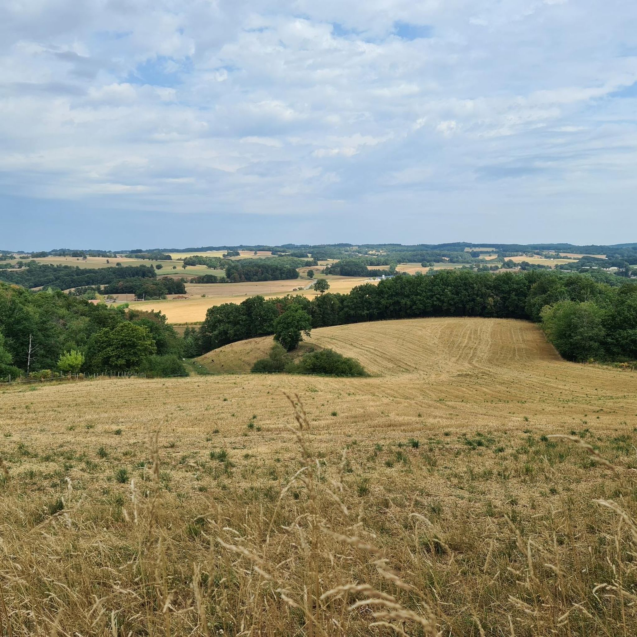
The running trails around Sabadel-Latronquière offer diverse and picturesque scenery. You'll jog through the extensive chestnut groves of the Ségala Lotois, explore wooded areas like the Forest of La Majorie, and follow river valleys such as the Bervezou and Sibergues. Routes often feature rolling hills, providing dynamic ascents and descents, and some even pass by the scenic Lac du Tolerme.
Are there any notable landmarks or attractions to see while running?
Yes, the region is rich in natural beauty and historical sites. You might encounter the Saint-Césaire Abbey Church on some routes, or pass by the tranquil Sagnes Pond, known for its protected peatlands. The area also features the Côte de l'Enseigne, an asphalt road with notable elevation changes, and historic villages like Cardaillac are often nearby.
Are the running routes in Sabadel-Latronquière suitable for families?
Many of the easier and moderate routes can be suitable for families, depending on the children's age and fitness levels. The varied terrain and natural settings provide an engaging environment for outdoor activity. We recommend checking the difficulty and length of specific routes, such as the Running loop from Saint-Bressou, to ensure they match your family's capabilities.
Can I bring my dog on the jogging trails?
While specific regulations can vary, generally, dogs are welcome on many of the natural trails in the Sabadel-Latronquière region, especially in rural and wooded areas. It's always best to keep your dog on a leash and ensure you clean up after them to preserve the natural environment for everyone. Always check local signage for any specific restrictions.
What do other runners think about the trails in Sabadel-Latronquière?
The running routes in Sabadel-Latronquière are highly regarded by the komoot community, boasting an average rating of 4.6 stars from over 450 runners. Users frequently praise the diverse landscapes, the well-maintained circuits, and the opportunity to explore the preserved environment of the Haut Ségala.
Are there any challenging running routes for experienced joggers?
Yes, for those seeking a more intense workout, Sabadel-Latronquière offers several difficult routes with significant ascents and descents. The dynamic topography, including areas like the 'Les deux clochers' hike, provides challenging sections. An example is the Plan d'eau de Sagnes – Pech de Carrié loop from Cardaillac, which features substantial elevation changes.
What is the typical length and duration of a running route in this area?
Running routes around Sabadel-Latronquière vary significantly in length and duration. You can find shorter runs like the Saint-Césaire Abbey Church loop from Maurs, which is about 7.1 km and takes around 45 minutes. Longer, more challenging routes, such as the Running loop from Terrou, can extend to over 9 km and take more than an hour, depending on your pace and the terrain.
Are there options for running near water bodies?
Yes, the region offers beautiful opportunities to run near water. The commune is drained by the Bervezou and Sibergues rivers, providing routes along waterways. Additionally, the Sagnes Pond and the larger Lac du Tolerme (the biggest artificial lake in the Lot department) present picturesque circuits around their perimeters, perfect for scenic jogs.
What is the best time of year to go running in Sabadel-Latronquière?
Sabadel-Latronquière is enjoyable for running throughout much of the year. Spring and autumn offer pleasant temperatures and vibrant natural colors, making them ideal. Summer provides shaded routes through the extensive chestnut groves and forests, offering respite from the heat. Even winter can be suitable, though some trails might be muddy or require appropriate gear depending on conditions.
Most popular routes around Sabadel-Latronquière
Most popular attractions around Sabadel-Latronquière

Get inspired with the komoot mobile app


Explore more
Browse the best Running Trails & Routes in other regions.
