The best cycling routes around Saint-Géry
4.6
(307)
3,324
riders
152
rides
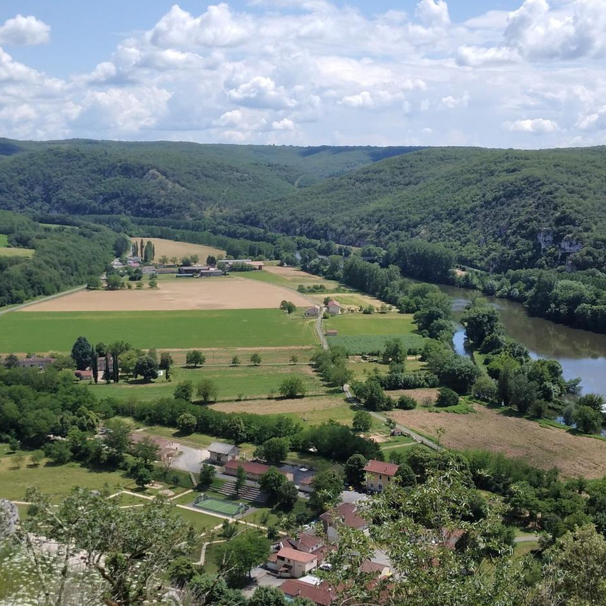
Touring cycling routes around Saint-Géry navigate a landscape characterized by the limestone plateaus and deep river valleys of the Parc naturel régional des Causses du Quercy. The region features a mix of rolling terrain, often following the Lot River, with occasional climbs offering views of the surrounding countryside. Routes frequently pass through historic villages and natural areas, providing varied cycling experiences.
Best touring cycling routes around Saint-Géry
- The most popular touring cycling route is Vers - loop in the Parc…
Last updated: October 25, 2026
5.0
(3)
10
riders
55.7km
03:56
780m
780m
Hard bike ride. Very good fitness required. Mostly paved surfaces.
4.0
(19)
374
riders
47.7km
03:05
570m
570m
Hard bike ride. Very good fitness required. You may need to push your bike for some segments of this route.

4.3
(15)
149
riders
35.5km
02:12
330m
320m
Moderate bike ride. Good fitness required. Mostly paved surfaces.
5.0
(3)
52
riders
28.5km
01:54
400m
400m
Moderate bike ride. Good fitness required. Mostly paved surfaces.
5.0
(1)
34
riders
41.6km
02:43
530m
530m
Hard bike ride. Very good fitness required. Mostly paved surfaces.
Get access to more routes and recommendations from other explorers.
Already have an account?
Our route recommendations are based on thousands of hikes, rides, and runs completed by other people on komoot.
Start today with a free account
Your next adventure awaits.
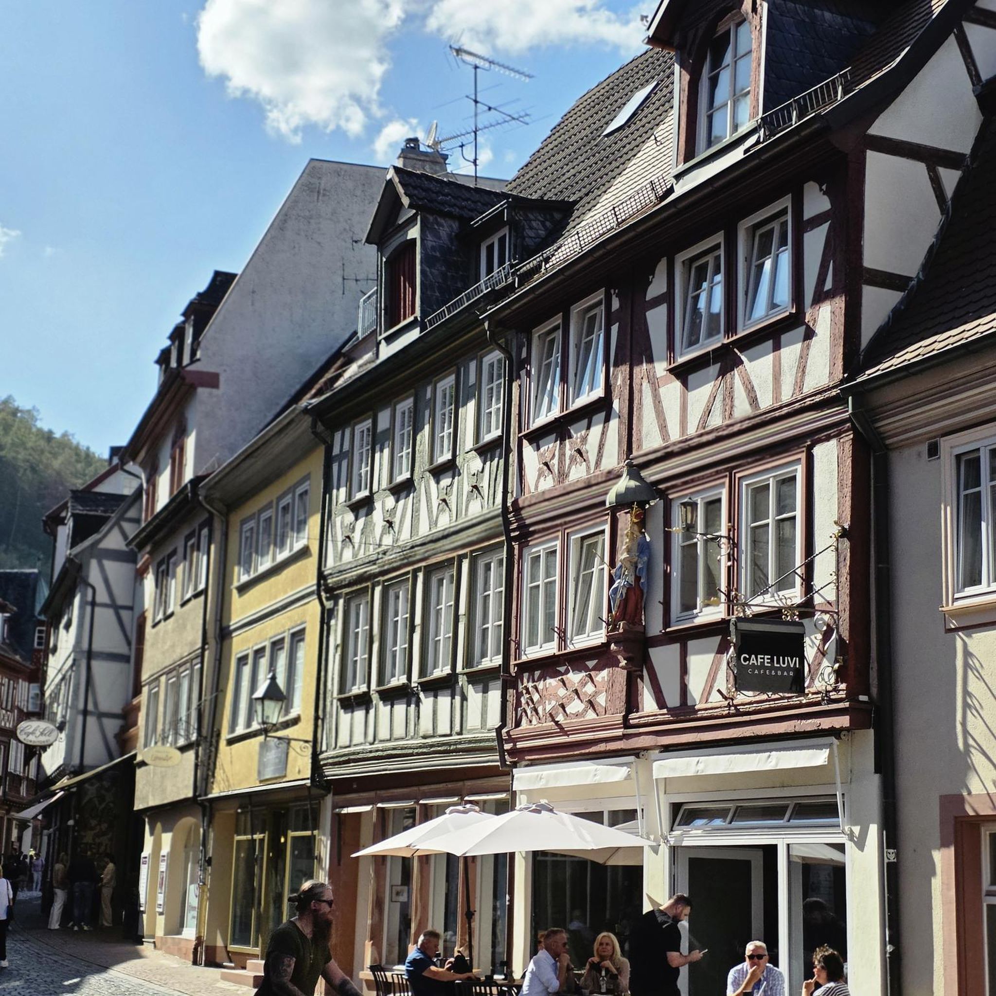
Tips from the Community

The Château de Cénevières is one of the most prestigious examples of Renaissance architecture in Quercy. Perched on a majestic cliff overlooking the Lot valley, this 13th-century fortified castle, transformed into a pleasure residence in the 16th century, offers a spectacular panorama and a rare immersion into the region's history.
0
0
Ideally nestled on the left bank of the Lot, it is located in the heart of the Causses du Quercy Regional Natural Park, just 2 km from the famous medieval village of Saint-Cirq-Lapopie. It is a perfect destination for lovers of calm, old stones, and unusual geological curiosities.
0
0
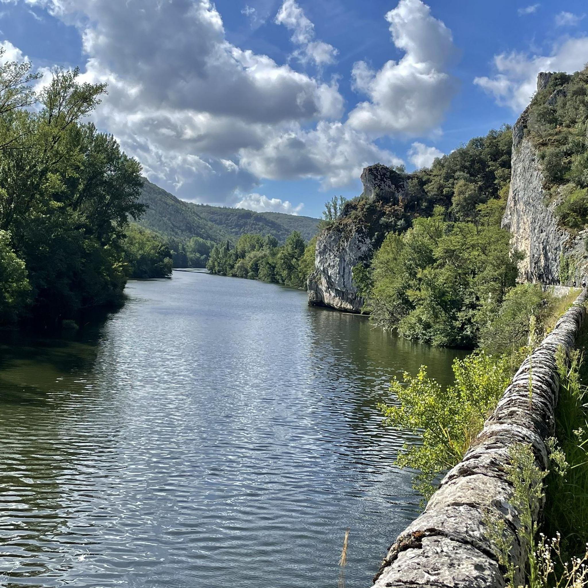
The Ganil towpath: Carved into the limestone cliff face in 1845, it once allowed horses to tow barges up the Lot. Between 1985 and 1989, artist Daniel Monnier sculpted an impressive bas-relief there depicting local fauna and flora. The path connects Bouziès to Saint-Cirq-Lapopie over about 4 to 5 km of easy walking.
0
0
In the heart of the Causses du Quercy Regional Natural Park. Located at the confluence of the Lot and Célé valleys, the village of Bouziès, with around 90 inhabitants, is world-renowned for its spectacular natural and historical heritage. The Château des Anglais: Fortifications from the 11th and 12th centuries anchored directly into the vertical cliff face overlooking the road and the river. This site once served as a fortified refuge for the inhabitants during conflicts.
0
0
The Arcambal family, wealthy merchants from Cahors, initially established a fortified farm (a borie) on the site. The lordship then passed to Jean du Bousquet (enfeoffed in 1341). Completely razed in 1374 during conflicts, the castle was rebuilt from the 15th century. The construction of its imposing central keep spanned between 1484 and 1525.
0
0
The Voie Verte de la Vallée du Lot is gradually developing around Cahors, reusing the trackbed of the former railway line (Soturac – Capdenac-Gare). It is more broadly integrated into the region's major cycle route: the V86 (La Vallée du Lot à vélo).
0
0
The Voie Verte de la Vallée du Lot is gradually developing around Cahors by reusing the footprint of the old railway line (Soturac – Capdenac-Gare). It integrates more broadly into the region's major cycle route: the V86 (La Vallée du Lot à vélo).
0
0
Frequently Asked Questions
What kind of terrain can I expect on touring cycling routes around Saint-Géry?
The routes around Saint-Géry primarily navigate the limestone plateaus and deep river valleys of the Parc naturel régional des Causses du Quercy. You'll encounter a mix of rolling terrain, often following the Lot River, with occasional climbs that offer scenic views of the surrounding countryside. Many routes also pass through historic villages.
Are there touring cycling routes suitable for beginners or families in Saint-Géry?
Yes, while many routes are moderate to difficult, there are options for beginners. The region offers 6 easy touring cycling routes. These typically feature less elevation gain and shorter distances, making them suitable for those new to touring cycling or families looking for a relaxed ride.
How challenging are the touring cycling routes in Saint-Géry?
The routes vary in difficulty. Out of approximately 150 touring cycling routes, 61 are considered moderate and 83 are difficult. These more challenging routes often feature significant elevation changes and longer distances, such as the Vers - loop in the Parc naturel régional des Causses du Quercy, which is 55.7 km with considerable climbs.
What are the typical lengths of touring cycling routes in the Saint-Géry area?
Route lengths vary, but many popular touring cycling routes range from around 30 km to over 60 km. For example, the Saint-Cirq-Lapopie – St-Cirq-Lapopie Heights loop from Bouziès is about 30.4 km, while the Saint-Cirq-Lapopie – Cahors loop from Saint-Géry extends to 63.4 km.
Are there circular touring cycling routes available around Saint-Géry?
Yes, many touring cycling routes in the area are designed as loops, allowing you to start and finish at the same point. Examples include the Vers - loop in the Parc naturel régional des Causses du Quercy and the Bouzies – The English Castle of Bouziès loop from Bouziès.
What interesting places or landmarks can I see along the touring cycling routes?
Many routes offer opportunities to explore historic sites and natural beauty. You might pass through the medieval village of Saint-Cirq-Lapopie, cycle past the English Castle of Bouziès, or enjoy views from St-Cirq-Lapopie Heights. The Ganil lock and towpath along the Lot River is another notable feature.
What is the best time of year for touring cycling in Saint-Géry?
The region is generally pleasant for cycling from spring through autumn. Spring offers lush greenery and comfortable temperatures, while autumn provides beautiful fall foliage. Summer can be warm, so early morning or late afternoon rides are often preferred during peak season. Always check local weather forecasts before heading out.
What do other touring cyclists enjoy most about cycling in Saint-Géry?
The area is highly rated by the komoot community, with an average score of 4.6 stars from over 200 reviews. Cyclists often praise the varied terrain, the scenic beauty of the Lot River valleys, and the charm of the historic villages encountered along the routes. The mix of moderate and difficult options also caters to a wide range of abilities.
Are there any routes that lead to the historic city of Cahors?
Yes, some routes connect Saint-Géry with the larger town of Cahors. For instance, the The Angel of the Lazaret – Cahors loop from Saint-Géry is a moderate 46.6 km trail that takes you through river valleys towards this historic city, known for its Pont Valentré.
Is public transport available to access touring cycling routes in Saint-Géry?
While Saint-Géry itself is a smaller village, regional bus services and train lines connect to larger towns like Cahors. From these hubs, you may be able to cycle to the starting points of various routes. It's advisable to check specific schedules and bicycle transport policies with local public transport providers in advance.
Where can I find parking for touring cycling routes in Saint-Géry?
Parking is generally available in Saint-Géry village and in other starting points for routes, such as Bouziès or Vers. Look for designated public parking areas, especially near village centers or popular trailheads. Always ensure you park responsibly and respect local regulations.
Can I expect to see wildlife while touring cycling in the Parc naturel régional des Causses du Quercy?
As the routes traverse a regional natural park, there's a good chance to observe local wildlife, especially in quieter sections. Keep an eye out for various bird species, deer, and other small mammals that inhabit the limestone plateaus and riverine environments. Early mornings or late afternoons often provide the best opportunities for wildlife spotting.
Most popular routes around Saint-Géry
Most popular attractions around Saint-Géry

Get inspired with the komoot mobile app


Explore more
Browse the best Cycling routes in other regions.
