The best running trails around Saint-Alban-Auriolles
4.3
(37)
551
runners
54
runs
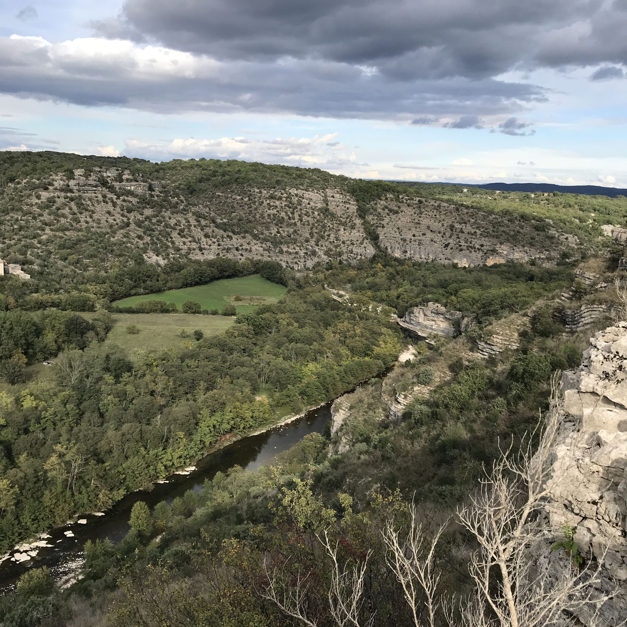
Jogging routes around Saint-Alban-Auriolles traverse a diverse landscape at the confluence of the Ardèche, Chassezac, and Baume rivers. The region features varied terrain, including limestone plateaus known as "les Gras," riverbanks, and Mediterranean scrubland. Runners can explore paths through unique natural limestone sculptures in areas like the Bois de Païolive, offering a mix of gentle and more challenging trails. This environment provides a rich sensory experience with paths often scented by local flora.
Best jogging routes around Saint-Alban-Auriolles
- The most popular jogging route is View of the Beaume loop from Ruoms, a 7.9 miles (12.7 km) trail that takes 1 hour 33 minutes to complete. This difficult route offers scenic views over the Beaume river.
- Another top favourite among local runners is Bridge over the Ardèche – Beautiful bridge with beautiful view loop from Yelloh! Village Le Ranc Davaine, a difficult 10.3 miles (16.6 km) path. This route features a prominent bridge over the Ardèche with expansive views.
- Local runners also love the View in Saint-Alban-Auriolles loop from Yelloh! Village Le Ranc Davaine, a 12.1 miles (19.4 km) trail leading through varied terrain around Saint-Alban-Auriolles, often completed in about 2 hours 2 minutes.
- Jogging around Saint-Alban-Auriolles is defined by riverine landscapes, limestone plateaus, and the unique formations of the Bois de Païolive. The network offers options for different ability levels, from easy paths to more demanding trails.
- The routes in Saint-Alban-Auriolles are highly rated by the komoot community with an average score of 4.3 stars from over 20 reviews. More than 500 runners have used komoot to explore Saint-Alban-Auriolles's varied terrain.
Last updated: July 8, 2026
4.3
(3)
111
runners
Moderate run. Good fitness required. Mostly paved surfaces. Suitable for all skill levels.
4.8
(5)
35
runners
5.60km
00:37
60m
60m
Moderate run. Good fitness required. Mostly paved surfaces. Suitable for all skill levels.

Sign up for free
5.0
(2)
10
runners
5.33km
00:37
70m
70m
Moderate run. Good fitness required. Mostly paved surfaces. Suitable for all skill levels.
36
runners
Hard run. Very good fitness required. Mostly paved surfaces. Suitable for all skill levels.
3.6
(5)
13
runners
9.60km
01:05
110m
110m
Moderate run. Good fitness required. Mostly paved surfaces. Suitable for all skill levels.
Get access to more routes and recommendations from other explorers.
Sign up for free
Already have an account?
Our route recommendations are based on thousands of hikes, rides, and runs completed by other people on komoot.
Start today with a free account
Your next adventure awaits.
Login or Signup

Tips from the Community

Cycle bridge over the Ardeche, beautiful landscape.
0
0

1h40 by electric bike visit Balazuc, Roche Colombe and Vogüé
0
0

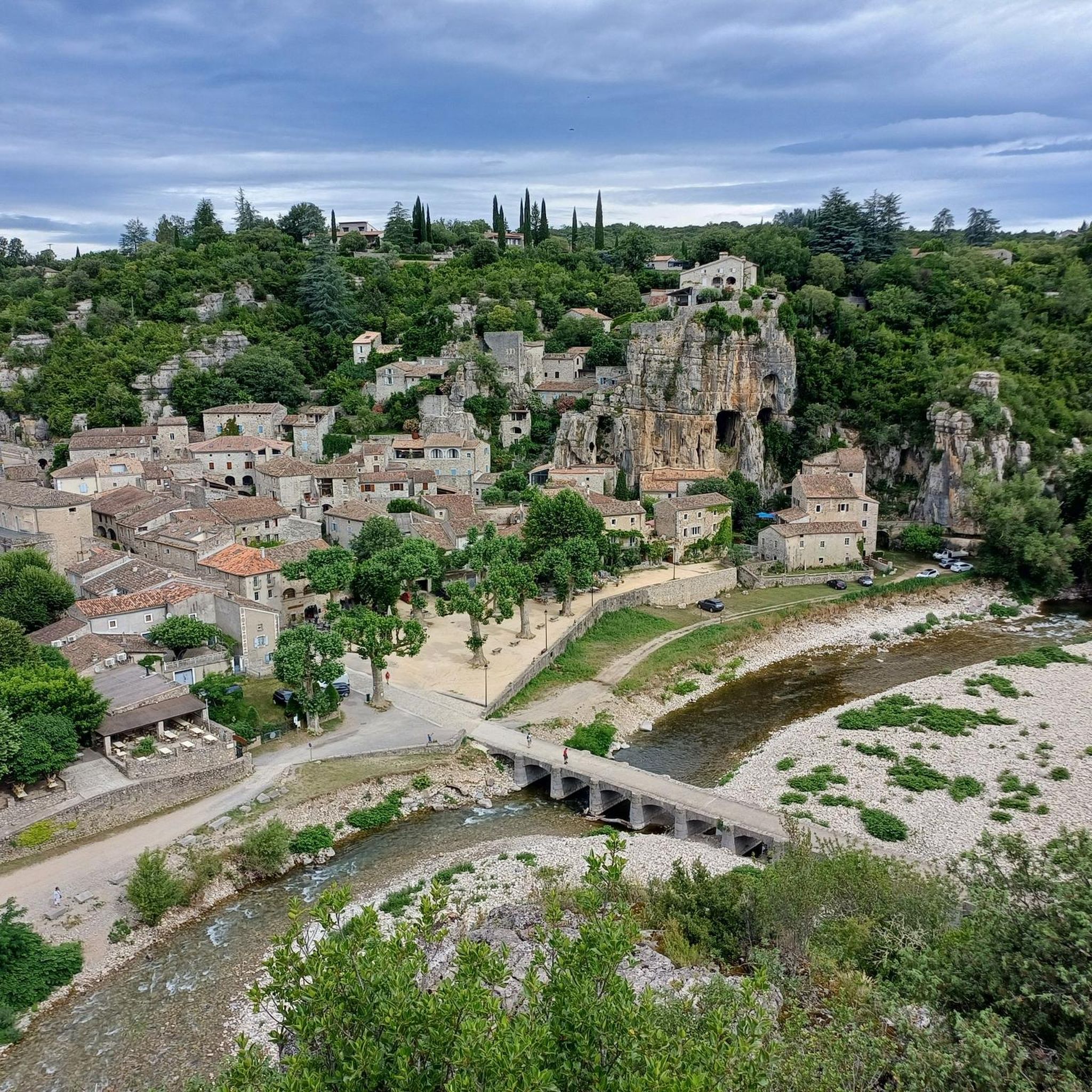
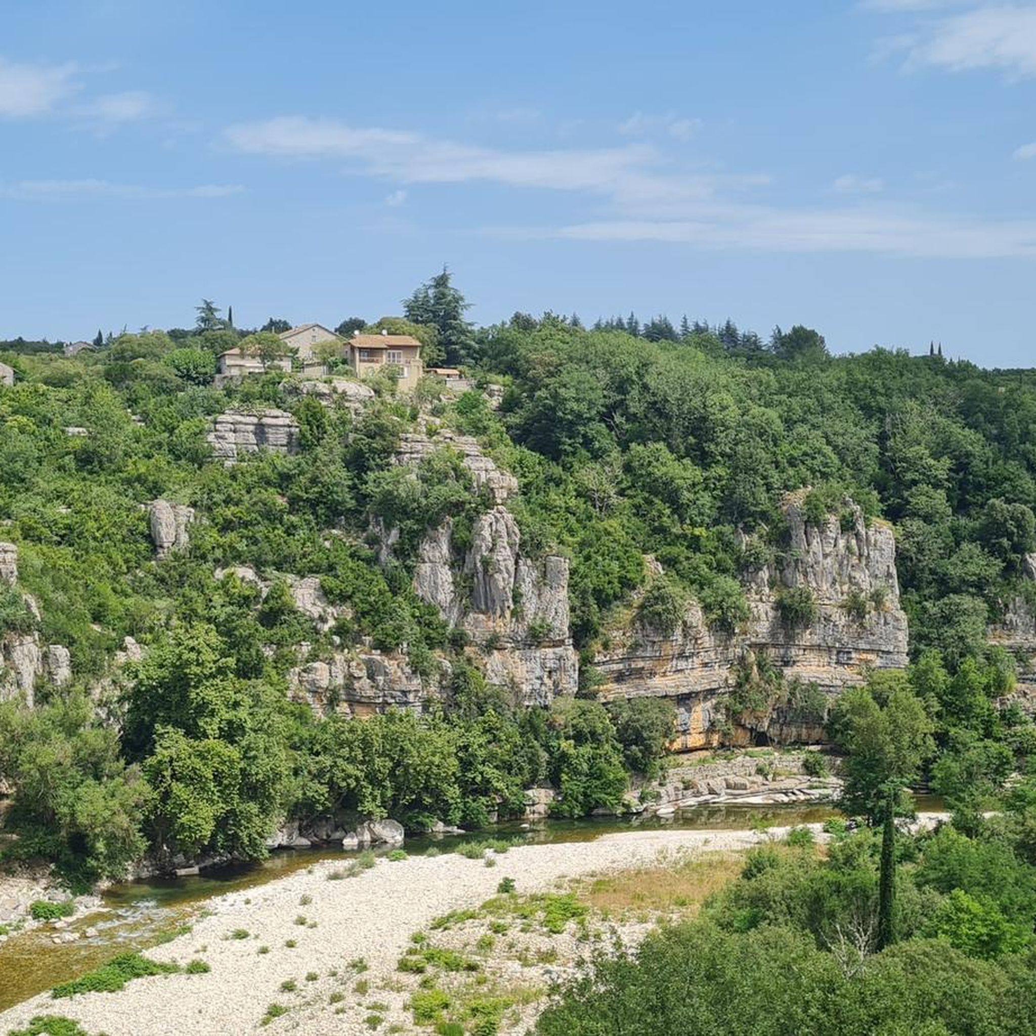
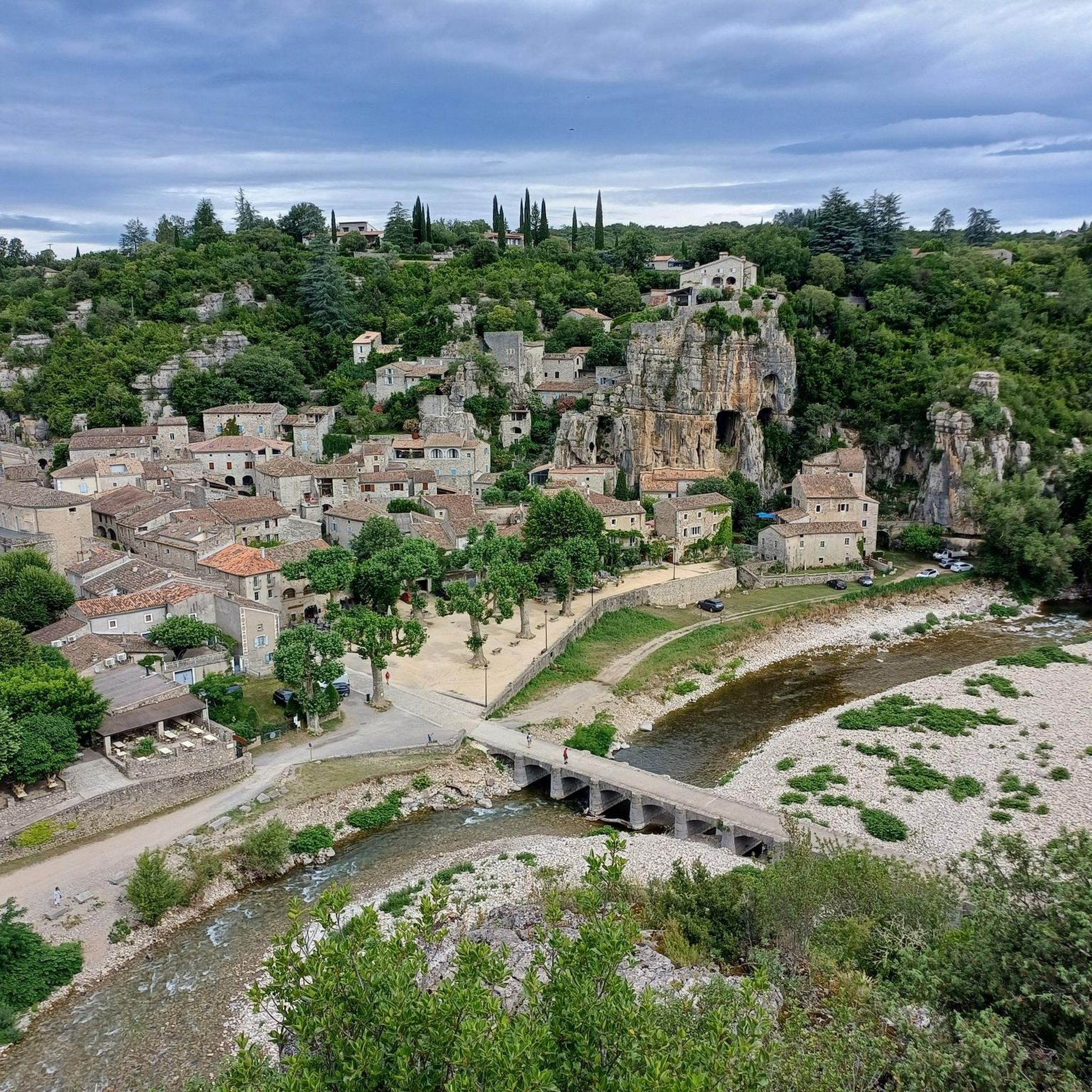
From the bridge you can take a break and enjoy the magnificent view of the Baume, just outside RUom, where you will see the imposing rocky cliffs and their caves rising on the left bank of the river. There is also a small beach that is often used by bathers. What more could you ask for?
1
0

The bridge is on the southern section of the Via Ardèche from Ruoms to Gagnières. The Via Ardèche is highly recommended: it follows the old railway line through a few tunnels (lights recommended despite lighting) and beautiful landscapes, is well signposted and, thanks to the fine gravel, is easy to ride with almost all bikes. In addition, the gradient of around 2% towards Gagnières is very moderate. As of summer 2024.
0
0
Easy and free access
2
0

Well passable gravel road parallel to the road.
0
0
The bastide viaduct under Sampzon crosses the Ardèche just after its confluence with the Chassezac, its main tributary which drains an immense watershed including the north side of Mont Lozère and a good part of the Ardèche mountains. We observe two arms of the river at this confluence with a heart-shaped rocky island in the middle, witness to the power of the floods of the Chassezac and the Ardèche during the Cévennes episodes. Dominating the viaduct from its 381m height, the Sampzon rock is a real landmark in the landscape of southern Ardèche, prow of the Serre mountain, bristling with its television relay antenna which replaced the old feudal fortress razed in 1600.
4
1

With the Tour de France a feast for the eyes and a huge experience. Great vibes!
4
0
Frequently Asked Questions
How many running routes are available around Saint-Alban-Auriolles?
There are over 50 running routes around Saint-Alban-Auriolles, offering a diverse range of experiences. These include paths suitable for various fitness levels, from moderate to difficult.
Are there easy or beginner-friendly running paths in the area?
While many routes are rated moderate to difficult, there are at least 3 easy running paths available. The region's diverse terrain means you can find gentler sections, especially along riverbanks, though specific easy routes might require some exploration on komoot.
What kind of terrain can I expect on the jogging routes near Saint-Alban-Auriolles?
The terrain is quite varied, ranging from mostly paved surfaces to more rugged trails. You'll encounter limestone plateaus known as "les Gras," riverbanks along the Ardèche, Chassezac, and Baume rivers, and Mediterranean scrubland (garrigue). Some paths, like those in the Bois de Païolive, feature unique natural limestone sculptures.
Can I find circular running routes in Saint-Alban-Auriolles?
Yes, many of the running routes in the area are circular, allowing you to start and finish at the same point. For example, the View of the Beaume loop from Ruoms and the View in Saint-Alban-Auriolles loop from Yelloh! Village Le Ranc Davaine are popular circular options.
Are the jogging trails around Saint-Alban-Auriolles suitable for families?
The region offers a mix of trails. While some are challenging, many of the 22 classified walking and hiking routes can be adapted for family-friendly jogs, especially those on gentler, well-maintained paths. Look for routes described as 'easy' or 'moderate' for suitable family options.
Are dogs allowed on the running routes in Saint-Alban-Auriolles?
Generally, dogs are welcome on many outdoor trails in the Ardèche region, especially on hiking and running paths. However, it's always advisable to keep them on a leash, particularly in nature reserves like the Bois de Païolive, and to check local signage for any specific restrictions.
What natural attractions or landmarks can I see while jogging?
You can encounter several stunning natural attractions. The region is known for its riverine landscapes at the confluence of the Ardèche, Chassezac, and Baume rivers. Highlights include the dramatic Pont d'Arc, the unique limestone formations of the Bois de Païolive, and the scenic Cirque de Gens (Ardèche). You might also pass through charming settlements like View of Labeaume or Balazuc and the Ardèche Cliffs.
What do other runners say about the jogging experience in Saint-Alban-Auriolles?
The running routes in Saint-Alban-Auriolles are highly rated by the komoot community, with an average score of 4.3 stars from over 20 reviews. Runners often praise the varied terrain, the beautiful river views, and the rich sensory experience provided by the fragrant local flora.
What is the best time of year to go jogging in Saint-Alban-Auriolles?
The region is enjoyable for jogging throughout much of the year. Spring and autumn offer pleasant temperatures and vibrant scenery. Summer can be warm, making early morning or late evening runs ideal, especially along shaded river paths. Winter runs are also possible, with the landscape taking on a different, often serene, charm.
Are there any specific routes that offer river views?
Absolutely! Saint-Alban-Auriolles is situated at the confluence of three rivers, so many routes offer stunning river views. The Bridge over the Ardèche – Beautiful bridge with beautiful view loop from Yelloh! Village Le Ranc Davaine is a prime example, featuring expansive views over the Ardèche river. The River viewpoint – Forest Trail loop from Sampzon also provides excellent river vistas.
Where can I find parking near the running trails?
Many trailheads and popular starting points, especially near villages or attractions, offer designated parking areas. For routes starting from accommodations like Yelloh! Village Le Ranc Davaine, parking is typically available for guests. It's recommended to check specific route details on komoot for parking information related to your chosen trail.
Are there options for longer, more challenging runs?
Yes, Saint-Alban-Auriolles is well-suited for longer and more challenging runs. Nearly 30 of the available routes are rated as 'difficult', with distances up to 12.1 miles (19.4 km). These routes often feature more significant elevation changes and rugged terrain, providing a good test for experienced runners.
Can I combine my run with other outdoor activities in the region?
Definitely! The Southern Ardèche is an outdoor enthusiast's paradise. After a run, you can enjoy activities like canoeing or kayaking on the rivers, explore the numerous hiking and mountain biking trails, or even try climbing in the Gorges de la Baume. The region's natural beauty makes it perfect for a multi-activity trip.
Are there any unique natural features to look out for on the trails?
Yes, the region is rich in unique natural features. The Bois de Païolive, often called an "enchanted forest," is famous for its extraordinary natural limestone sculptures. You'll also experience the distinctive garrigue landscape, with paths often scented by local flora like thyme and juniper, and pass through areas with micocouliers, mulberry trees, and green oaks.
Most popular routes around Saint-Alban-Auriolles
Most popular attractions around Saint-Alban-Auriolles

Get inspired with the komoot mobile app


Explore more
Browse the best Running Trails & Routes in other regions.
