The best walks and hikes around Rancenay
4.5
(728)
5,552
hikers
308
hikes
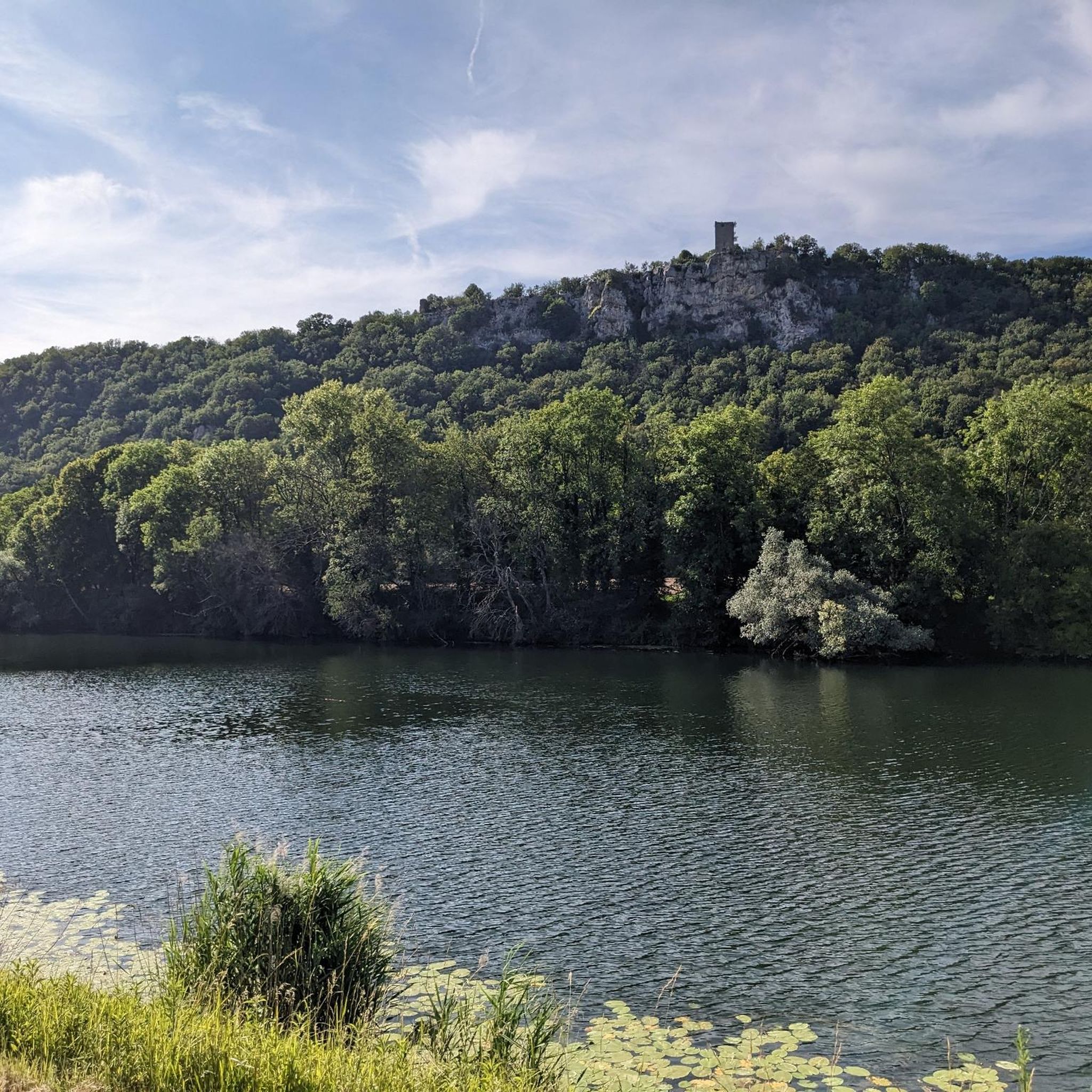
Hiking around Rancenay offers a diverse landscape characterized by rolling hills, historical sites, and natural rock formations. The region features a mix of open paths and wooded sections, providing varied terrain for outdoor activities. Elevations are generally moderate, making the area accessible for different hiking abilities.
Best hiking trails around Rancenay
- The most popular hiking route is Fort de Planoise Trail, a 3.4 miles (5.5 km) trail that takes 1 hour 50 minutes to complete. This moderate route explores…
Last updated: July 6, 2026
4.1
(7)
20
hikers
5.50km
01:50
240m
230m
Hike the moderate Fort de Planoise Trail, a 3.4-mile route near Besançon, offering historical insights and panoramic views of the Doubs vall
4.5
(12)
57
hikers
10.8km
03:11
310m
310m
Moderate hike. Good fitness required. Easily-accessible paths. Suitable for all skill levels.

Sign up for free
4.5
(4)
31
hikers
5.45km
01:32
110m
110m
Easy hike. Great for any fitness level. Easily-accessible paths. Suitable for all skill levels.
4.8
(4)
14
hikers
4.17km
01:11
90m
90m
Easy hike. Great for any fitness level. Easily-accessible paths. Suitable for all skill levels.
26
hikers
21.8km
06:07
420m
420m
Hard hike. Very good fitness required. Easily-accessible paths. Suitable for all skill levels.
Get access to more routes and recommendations from other explorers.
Sign up for free
Already have an account?
Our route recommendations are based on thousands of hikes, rides, and runs completed by other people on komoot.
Start today with a free account
Your next adventure awaits.
Login or Signup
Tips from the Community

A ship tunnel (1810) that can be walked through from the side as a shortcut for the Le Doubs river canal. On the other side of the canal there is a lock about 3-4 m high. There is a water curtain at both portals and the interior is beautifully and decoratively lit. Worth seeing.
2
0

It is also possible to walk through the tunnel.
5
0


In honor of the dead of the First World War
2
0

Particularly impressive in good weather ☀️
2
0

You can go through on foot on a special footbridge or go through with the (house) - boat. The additional lighting is attached to the tunnel ceiling in the form of a chain of running lights. The water curtain at the end of the tunnel is turned off just before passing.
8
0

Unfortunately, you cannot drive through this channel tunnel. It's over the hill for that.
6
0

Fort de Planoise was built between 1877 and 1892 to protect the Avanne-Aveney bridge, an important traffic artery at the time. It is an ideal place to visit to immerse yourself in nature and walk on the heights.
2
0
Frequently Asked Questions
How many hiking trails are available around Rancenay?
Rancenay offers a wide selection of hiking opportunities, with over 300 trails recorded on komoot. This includes a diverse range of routes suitable for various skill levels and preferences.
Are there easy hikes suitable for families or beginners?
Yes, Rancenay has many easy trails perfect for families or those new to hiking. There are 129 easy routes available. A great option is the Ruins of Montferrand Castle loop from Rancenay, which is an easy 3.4-mile (5.5 km) path that explores historical sites without significant elevation gain.
Are there any challenging trails for experienced hikers?
For more experienced hikers seeking a challenge, Rancenay offers 30 difficult routes. These trails typically feature more significant elevation changes and longer distances, providing a rewarding experience amidst the region's varied terrain.
Can I find circular hiking routes around Rancenay?
Absolutely. Many of the trails around Rancenay are circular, allowing you to start and end at the same point. For example, the The Holed Rock – Valmy Rock loop from Larnod is an easy 2.6-mile (4.2 km) circular route that showcases unique rock formations.
Are there any trails with waterfalls or unique natural features?
Yes, the region boasts distinctive natural features. You can explore trails that lead to the impressive Bout du Monde Waterfall or discover the fascinating The Holed Rock, a prominent natural monument. The Valmy Rock – The Holed Rock loop from Larnod is a moderate 5.7-mile (9.1 km) trail specifically featuring these unique rock formations.
What kind of historical sites can I explore while hiking?
Rancenay's hiking trails often pass by significant historical sites. You can visit the area around the Fort de Planoise Trail, a moderate 3.4-mile (5.5 km) route exploring a historical fort. Other notable landmarks in the broader region include the Citadel of Besançon and the Thoraise Tunnel.
What is the best time of year to hike in Rancenay?
The best time to hike in Rancenay is typically from spring through autumn (April to October). During these months, the weather is generally mild and pleasant, making for ideal hiking conditions to enjoy the varied landscapes and historical sites.
Is Rancenay suitable for dog-friendly hikes?
Many trails in the Rancenay area are suitable for dogs, provided they are kept on a leash and you follow local regulations. The varied terrain, from open paths to wooded sections, offers a great environment for you and your canine companion to explore.
What do other hikers say about the trails in Rancenay?
The trails in Rancenay are highly regarded by the komoot community, holding an average rating of 4.5 stars from over 650 reviews. Hikers frequently praise the diverse landscape, the mix of historical sites with natural rock formations, and the well-maintained paths that cater to different abilities.
Are there options for winter hiking in Rancenay?
While many trails are accessible year-round, winter hiking in Rancenay can be beautiful, especially after snowfall. However, conditions can be challenging, with potentially icy or muddy paths. It's advisable to check local weather conditions and trail reports, and wear appropriate gear for winter excursions.
Are there any longer distance hikes available in the region?
Yes, for those looking for longer excursions, Rancenay offers several routes that extend beyond typical day hikes. For example, the Valmy Rock – The Holed Rock loop from Avanne-Aveney is a moderate 6.6-mile (10.6 km) trail that provides a more extended experience through varied terrain.
How can I get to the trailheads using public transport?
While some trailheads might be accessible via local bus services, public transport options directly to all starting points can be limited in rural areas like Rancenay. It's recommended to check local bus schedules for Besançon and surrounding villages, or consider driving to a trailhead with available parking.
Is parking available at the trailheads?
Parking is generally available at or near the main trailheads in Rancenay and surrounding villages. Many routes start from accessible points where you can find designated parking areas. It's always a good idea to check the specific route details on komoot for information on parking facilities at your chosen starting point.
Most popular attractions around Rancenay

Get inspired with the komoot mobile app


Explore more
Browse the best Hikes in other regions.
