The best walks and hikes around Yssac-La-Tourette
4.6
(848)
5,920
hikers
342
hikes
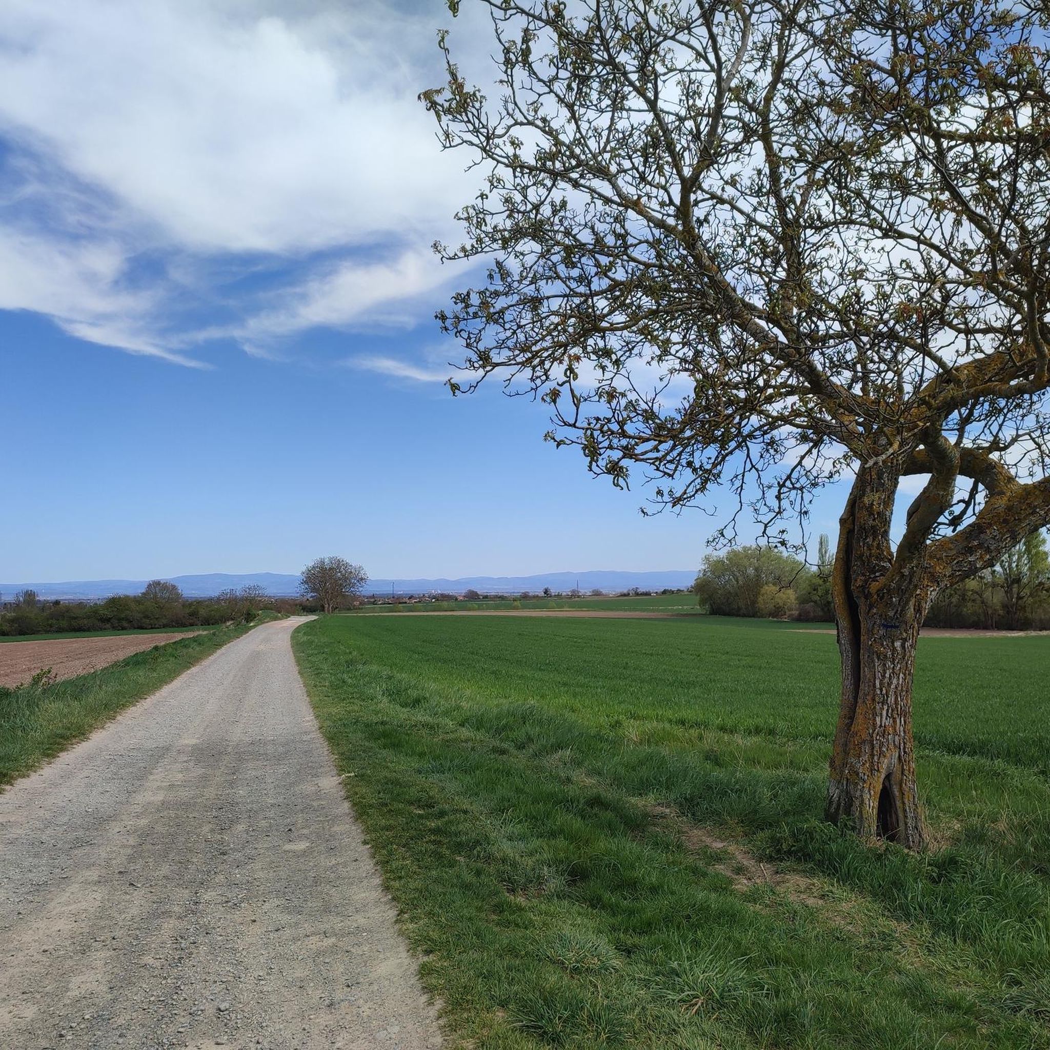
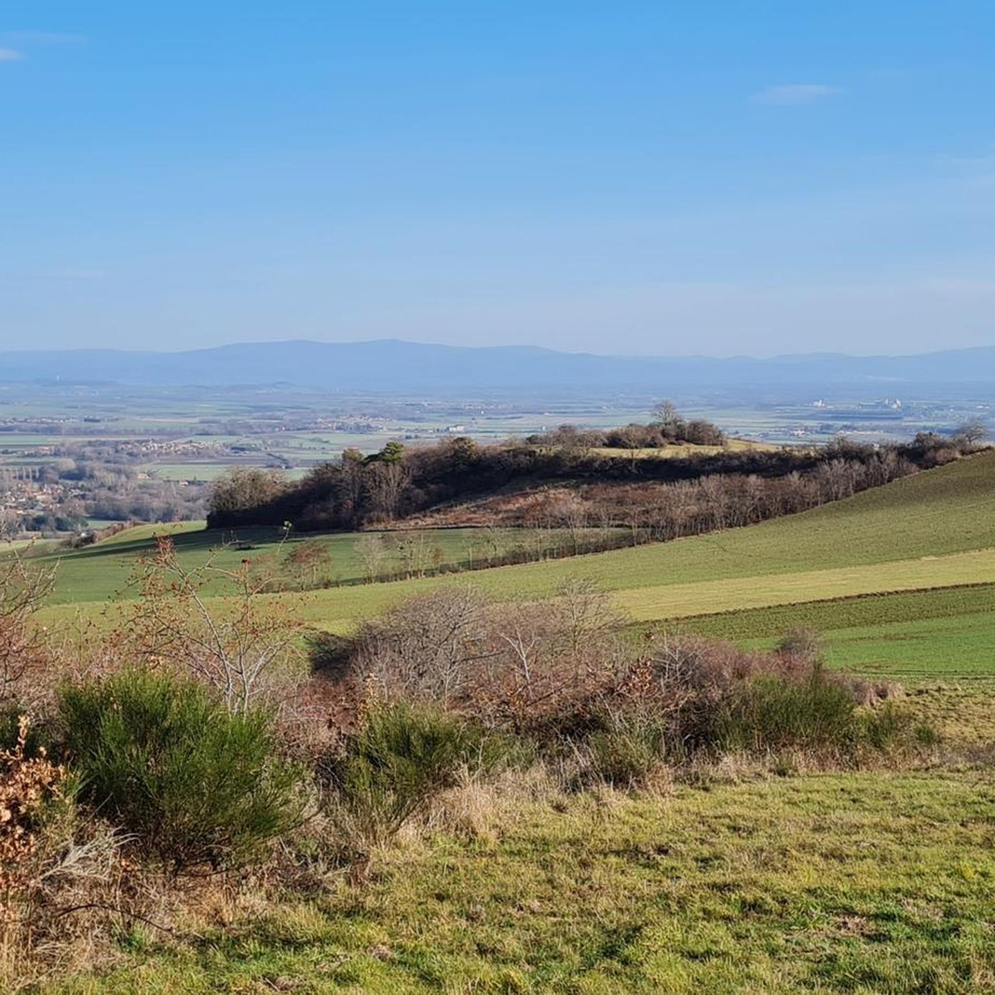
Hiking around Yssac-La-Tourette offers a landscape characterized by rolling hills, expansive agricultural fields, and distant views of the Chaîne des Puys. The area provides a mix of terrain, from gentle paths through open countryside to routes with moderate elevation changes. This region, situated in the Puy-de-Dôme department, is known for its rural charm and accessible natural spaces.
Best hiking trails around Yssac-La-Tourette
- The most popular hiking route is View of the Chaîne des Puys – Le roc errant loop from Châtel-Guyon, a 8.4 miles (13.5 km) trail that takes about 4 hours to complete. This moderate route offers panoramic views of the Chaîne des Puys.
- Another top favourite among local hikers is View – Beautiful fields loop from Davayat, a moderate 5.6 miles (9.0 km) path. This trail leads through picturesque agricultural fields, providing open vistas.
- Local hikers also love the The Beautiful Walk – Beautiful fields loop from Prompsat, a 4.5 miles (7.2 km) trail leading through open fields and gentle hills, often completed in about 2 hours.
- Hiking around Yssac-La-Tourette is defined by rolling hills, open fields, and views towards the Chaîne des Puys. The network of trails offers options for easy hikes as well as more moderate routes, catering to different ability levels.
- The routes in Yssac-La-Tourette are highly rated by the komoot community with an average score of 4.6 stars from over 700 reviews. More than 5000 hikers have used komoot to explore Yssac-La-Tourette's varied terrain.
Last updated: July 17, 2026
4.7
(9)
63
hikers
13.5km
04:00
400m
400m
Moderate hike. Good fitness required. Easily-accessible paths. Suitable for all skill levels.
4.9
(9)
62
hikers
7.17km
02:01
150m
150m
Moderate hike. Good fitness required. Easily-accessible paths. Suitable for all skill levels.

Sign up for free
4.9
(9)
65
hikers
9.07km
02:32
180m
180m
Moderate hike. Good fitness required. Easily-accessible paths. Suitable for all skill levels.
4.6
(17)
128
hikers
10.9km
03:15
330m
330m
Moderate hike. Good fitness required. Easily-accessible paths. Suitable for all skill levels.
5.0
(2)
28
hikers
7.64km
02:04
100m
100m
Moderate hike. Good fitness required. Easily-accessible paths. Suitable for all skill levels.
Get access to more routes and recommendations from other explorers.
Sign up for free
Already have an account?
Our route recommendations are based on thousands of hikes, rides, and runs completed by other people on komoot.
Start today with a free account
Your next adventure awaits.
Login or Signup



Tips from the Community

With a blue sky it must be even better for the eyes.
0
0

Chazeron Castle is located on the site of an ancient Gallic oppidum. This fortified place then saw the peak of its castle in the 11th century with the construction of the keep and 17 fortified towers.
1
0
Châtel-Guyon is a pretty spa town and, with its many trails, it is an ideal site for mountain biking.
0
0
Superb view of the Puys chain.
1
0

Memorial firefighter who died in 1986 following a forest fire
0
0

Very imposing from the outside, the interior deserves to be seen
0
0
Frequently Asked Questions
How many hiking trails are available around Yssac-La-Tourette?
There are over 300 hiking routes around Yssac-La-Tourette. This includes a wide variety of options, with more than 160 easy trails and over 150 moderate routes, catering to different fitness levels.
What kind of scenery can I expect on hikes near Yssac-La-Tourette?
The hiking trails around Yssac-La-Tourette are characterized by rolling hills and expansive agricultural fields. Many routes offer distant, panoramic views of the majestic Chaîne des Puys, providing a blend of rural charm and natural beauty.
Are there any easy hiking trails suitable for beginners or families?
Yes, Yssac-La-Tourette offers many easy trails. For a pleasant, shorter option, consider Châtel-Guyon loop from Châtel-Guyon, which is around 7.6 km (4.7 miles) and features gentle elevation changes, making it suitable for a relaxed outing.
What do other hikers say about the trails in Yssac-La-Tourette?
The trails in Yssac-La-Tourette are highly regarded by the komoot community, with an average rating of 4.6 stars from over 780 reviews. Hikers often praise the accessible natural spaces, the well-maintained paths, and the scenic views towards the Chaîne des Puys.
Are there any circular hiking routes in the area?
Many of the trails around Yssac-La-Tourette are circular, offering convenient starting and ending points. An example is the View – Beautiful fields loop from Davayat, a moderate 9 km (5.6 miles) route that takes you through picturesque agricultural fields.
Can I find hikes that pass by historical sites or landmarks?
Yes, several routes offer glimpses of local history and notable landmarks. For instance, the Chazeron Castle – Chazeron Castle loop from Châtel-Guyon is a moderate 11.1 km (6.9 miles) trail that allows you to explore the vicinity of Chazeron Castle. You can also find highlights like the Château de Tournoël and the Ruins of the Priory of Saint-Coust nearby.
What is the typical duration for a hike in this region?
Hiking durations vary, but many popular routes range from 2 to 4 hours. For example, The Beautiful Walk – Beautiful fields loop from Prompsat is often completed in about 2 hours, while the longer View of the Chaîne des Puys – Le roc errant loop from Châtel-Guyon typically takes around 4 hours.
Are there any viewpoints along the trails to see the Chaîne des Puys?
Absolutely. Many trails are designed to offer stunning views of the Chaîne des Puys. The View of the Chaîne des Puys – Le roc errant loop from Châtel-Guyon is specifically known for its panoramic vistas of this volcanic range. Additionally, the Gour de Tazenat Viewpoint / Chaîne des Puys is a notable highlight in the wider area.
What is the best time of year to go hiking in Yssac-La-Tourette?
The region is generally pleasant for hiking from spring through autumn, when the weather is mild and the agricultural fields are vibrant. While winter hiking is possible, some paths might be muddy or less accessible, so checking local conditions is advisable.
Are there any dog-friendly hiking options around Yssac-La-Tourette?
Many trails in the Yssac-La-Tourette area are suitable for hiking with dogs, especially those through open fields and rural paths. It's always recommended to keep dogs on a leash, especially near agricultural areas or livestock, and to respect local signage regarding pet access.
Are there any places to explore or visit near the hiking trails?
Beyond the trails, the region offers several points of interest. You can visit historical sites like the Château de Tournoël or the Chazeron Castle. For a unique experience, the Châteaugay Cellars are also nearby.
Most popular routes around Yssac-La-Tourette
Most popular attractions around Yssac-La-Tourette

Get inspired with the komoot mobile app


Explore more
Browse the best Hikes in other regions.
