The best walks and hikes around Geneuille
4.4
(398)
3,250
hikers
224
hikes
Hiking around Geneuille offers a network of trails through a landscape characterized by ponds, streams, and gentle woodlands. The region features mostly flat to gently rolling terrain, with some routes including minor elevation changes. These hiking trails provide opportunities to explore the natural environment and local points of interest.
Best hiking trails around Geneuille
- The most popular hiking route is Aurêtre Pond loop from Geneuille, a 5.9 miles (9.6 km) trail that takes 2 hours 30 minutes to complete. This route circles Aurêtre Pond, offering views of the water and surrounding nature.
- Another top favourite among local hikers is Ruisseau de la Vallée loop from Miserey-Salines, an easy 4.2 miles (6.8 km) path. This trail follows the Ruisseau de la Vallée through a tranquil setting.
- Local hikers also love the Châtillon-le-Duc – Châtillon-le-Duc Castle loop from Châtillon-le-Duc, a 7.9 miles (12.7 km) trail leading past Châtillon-le-Duc Castle, often completed in about 3 hours 48 minutes.
- Hiking around Geneuille is defined by its ponds, streams, and woodlands. The network offers options for easy, moderate, and some more challenging routes.
- The routes in Geneuille are highly rated by the komoot community with an average score of 4.5 stars from over 300 reviews. More than 2,800 hikers have used komoot to explore Geneuille's varied terrain.
Last updated: October 19, 2026
5.0
(1)
27
hikers
12.8km
03:51
390m
390m
Moderate hike. Good fitness required. Easily walkable paths.
4.0
(2)
26
hikers
9.57km
02:30
70m
70m
Moderate hike. Good fitness required. Easily walkable paths.

4
hikers
6.67km
01:48
80m
80m
Easy hike. Easily walkable paths.
6
hikers
11.3km
02:58
90m
90m
Moderate hike. Good fitness required. Easily walkable paths.
4
hikers
8.95km
02:21
80m
80m
Moderate hike. Good fitness required. Easily walkable paths.
Get access to more routes and recommendations from other explorers.
Already have an account?
Our route recommendations are based on thousands of hikes, rides, and runs completed by other people on komoot.
Start today with a free account
Your next adventure awaits.
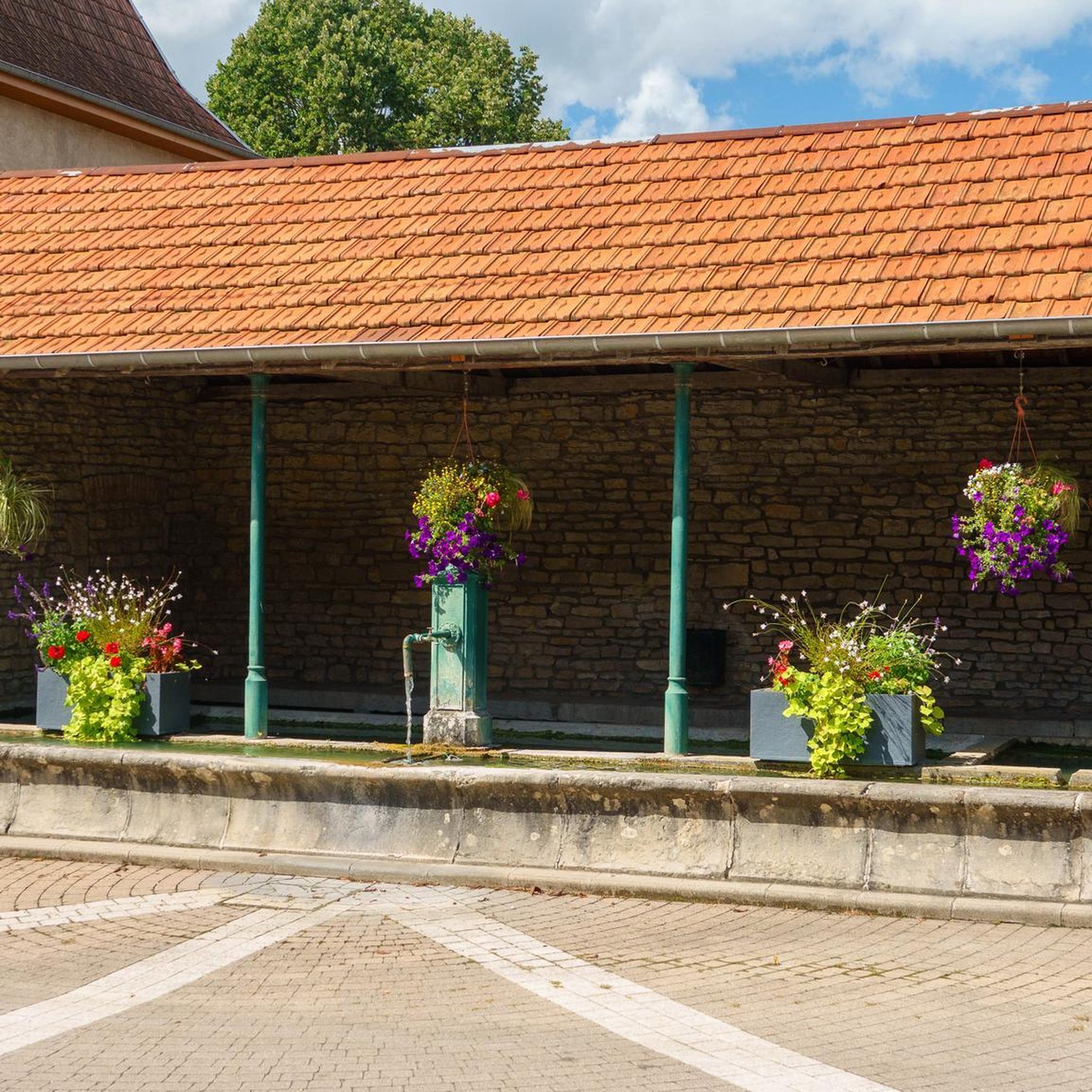
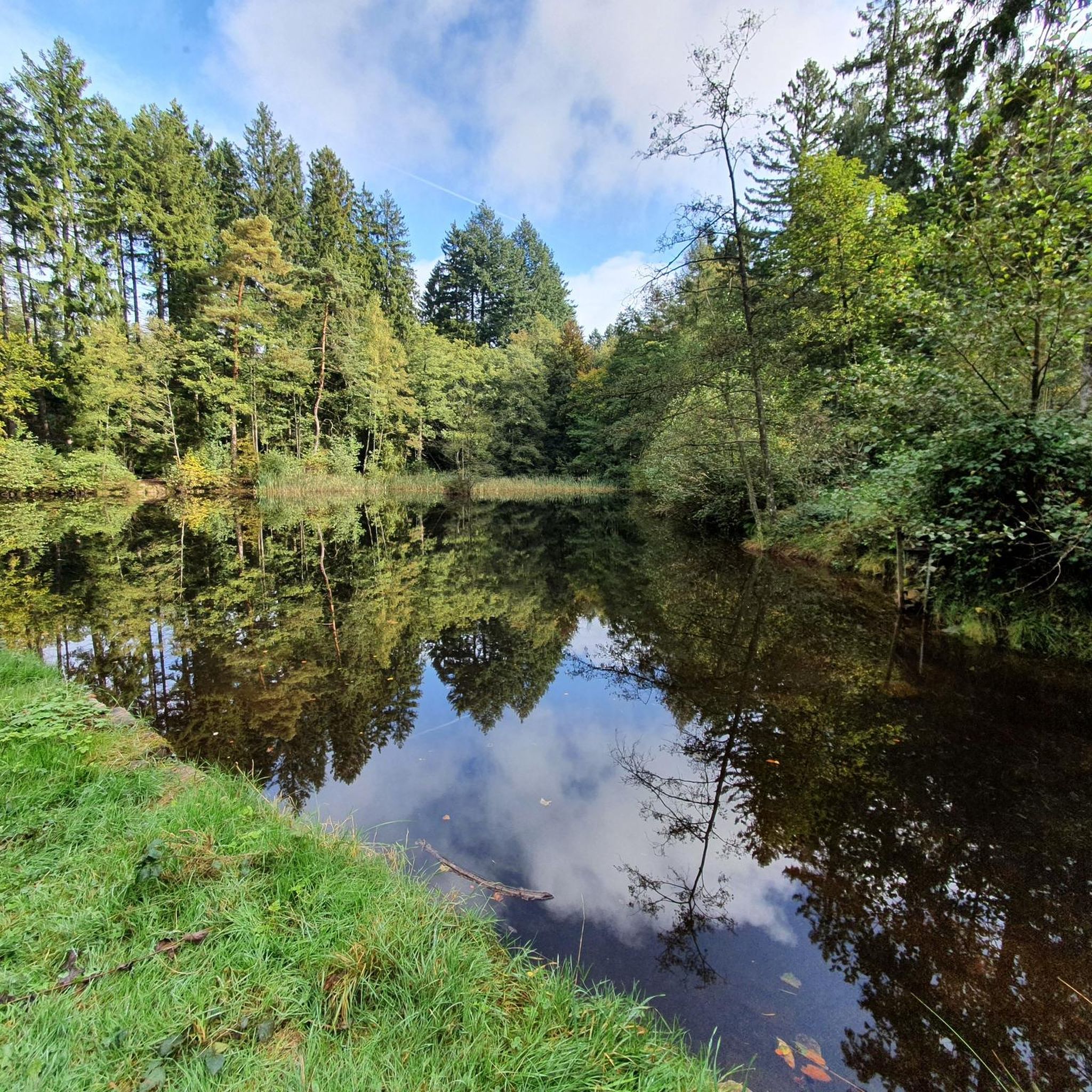
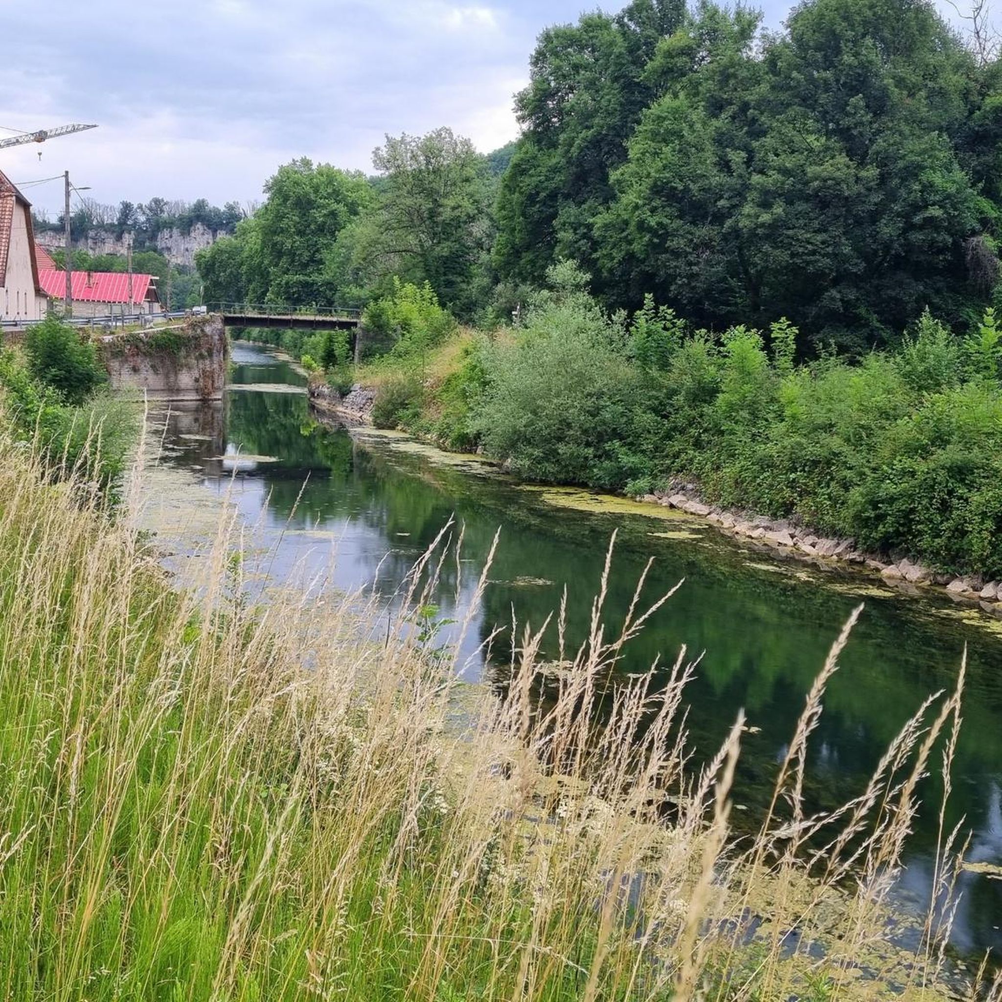

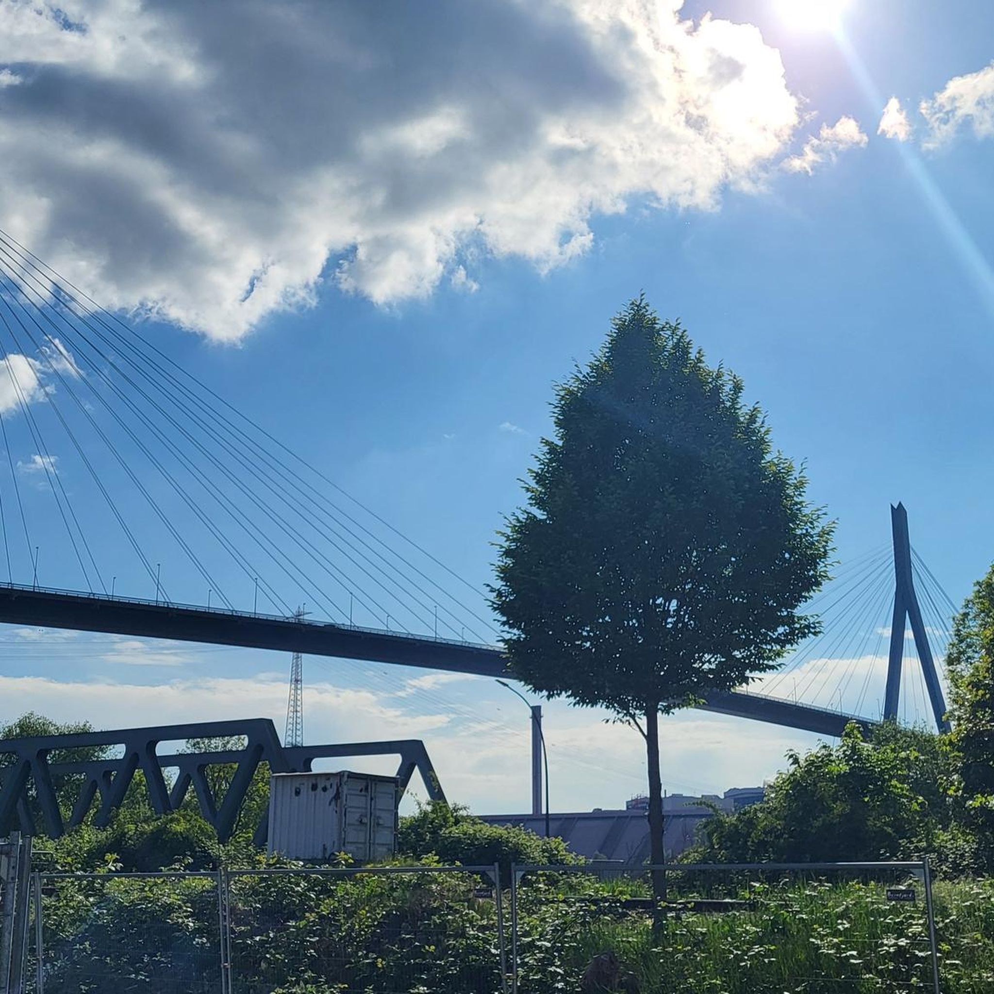
Tips from the Community

Very beautiful hike and wonderful view... in good weather!
0
0

Perched north of Besançon, Châtillon-le-Duc overlooks the Ognon Valley from its rocky outcrop. Here you'll discover the remains of a former 19th-century military fort, built on the ruins of a feudal castle.
1
0

Water hole in a deep oak forest.
0
0

The Aurêtre pond is located north of Besançon in the commune of Geneuille. It presents a pretty bucolic setting when nature is in bloom.
0
0
It is a pond built on an old gravel pit that has become a protected natural area, a peaceful fishing spot, a family picnic spot, a safe children's playground. Finally everything to have a good time. Please note that dogs must be kept on a leash.
0
0

Here you can enjoy nature in peace and quiet
0
0

A beautiful view from Fort de la Dame Blanche (also known as Fort de Chailluz). Be careful of the cliff, the fort is also a reserved military zone. ============= A nice view from fort of the Dame Blanche (also known as the fort of Chailluz). Be careful of the cliff, the fort is also a military restricted area. https://fr.wikipedia.org/wiki/Fort_de_Chailluz
3
1
Frequently Asked Questions
How many hiking trails are available around Geneuille?
There are over 200 hiking routes around Geneuille, offering a wide range of options. This includes approximately 80 easy trails, 130 moderate trails, and a few more challenging routes for experienced hikers.
Are there easy hiking trails suitable for beginners in Geneuille?
Yes, Geneuille offers many easy hiking trails perfect for beginners. For example, the Ruisseau de la Vallée loop from Miserey-Salines is an easy 4.2-mile (6.8 km) path that follows the Ruisseau de la Vallée through a tranquil setting. Another accessible option is the Hiking loop from Miserey-Salines, which is 4.1 miles (6.7 km) long.
Can I find family-friendly hikes around Geneuille?
Many of the trails around Geneuille are suitable for families, especially the easier routes with minimal elevation gain. The landscape of ponds, streams, and gentle woodlands provides a pleasant environment for walks with children. Consider routes that circle the local ponds for scenic and generally flat paths.
Are dogs allowed on the hiking trails in Geneuille?
Generally, dogs are welcome on hiking trails in the Geneuille area, especially if kept on a leash. The natural environment with woodlands and open spaces is well-suited for walks with canine companions. Always check local signage for any specific restrictions, particularly in nature reserves or protected areas.
Are there circular hiking routes in Geneuille?
Yes, many of the hiking routes around Geneuille are circular, allowing you to start and end at the same point. A popular example is the Aurêtre Pond loop from Geneuille, a 5.9-mile (9.6 km) trail that circles the pond. Another option is the Châtillon-le-Duc – Châtillon-le-Duc Castle loop from Châtillon-le-Duc, which is 7.9 miles (12.7 km) long.
What kind of landscape can I expect on hikes around Geneuille?
The landscape around Geneuille is characterized by a network of trails through ponds, streams, and gentle woodlands. The terrain is mostly flat to gently rolling, with some routes featuring minor elevation changes. You'll encounter serene water features and lush forested areas.
What are some interesting places to explore near the hiking trails?
While hiking around Geneuille, you can explore several historical and scenic attractions. Nearby highlights include the impressive Citadel of Besançon, a UNESCO World Heritage site, and the historic Porte Noire (Black Gate). These offer a glimpse into the region's rich history and provide excellent viewpoints.
What is the best time of year to go hiking in Geneuille?
The best time for hiking in Geneuille is typically from spring through autumn (April to October). During these months, the weather is generally mild and pleasant, and the natural scenery, including the ponds and woodlands, is at its most vibrant. Summer offers longer daylight hours, while spring and autumn provide comfortable temperatures and beautiful foliage.
Are there any winter hiking options in Geneuille?
While Geneuille's trails are accessible year-round, winter hiking can be enjoyed, especially on the flatter routes. The landscape takes on a different charm with frosty scenery. Be prepared for colder temperatures and potentially muddy or icy conditions, and ensure you have appropriate footwear and clothing.
What do other hikers say about the trails in Geneuille?
The hiking trails in Geneuille are highly regarded by the komoot community, with an average rating of 4.5 stars from over 300 reviews. Hikers often praise the tranquil atmosphere, the well-maintained paths, and the scenic beauty of the ponds and woodlands. Many appreciate the variety of routes suitable for different fitness levels.
Can I spot wildlife while hiking in Geneuille?
The diverse natural environment of Geneuille, with its ponds, streams, and woodlands, provides habitats for various wildlife. Hikers may spot birds, small mammals, and aquatic life, especially during quieter times of the day. Keeping a respectful distance and moving quietly increases your chances of observing local fauna.
Where can I park when hiking in Geneuille?
Parking is generally available at or near the starting points of many trails in Geneuille and surrounding villages like Miserey-Salines or Châtillon-le-Duc. Look for designated parking areas in village centers or near popular trailheads. It's advisable to check specific route descriptions for detailed parking information.
Most popular routes around Geneuille
Most popular attractions around Geneuille

Get inspired with the komoot mobile app


Explore more
Browse the best Hikes in other regions.
