The best walks and hikes around Carnac-Rouffiac
4.5
(323)
1,354
hikers
124
hikes
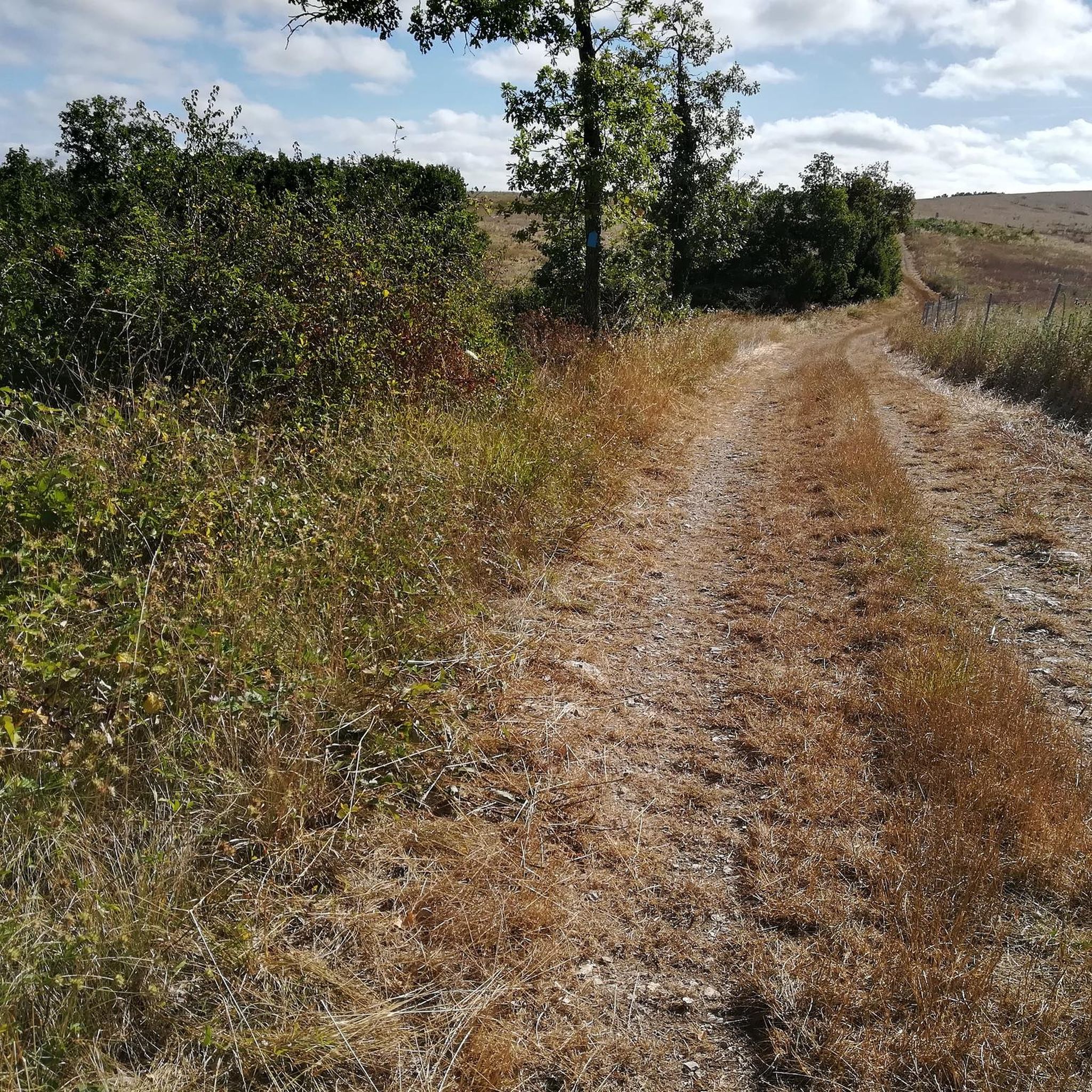
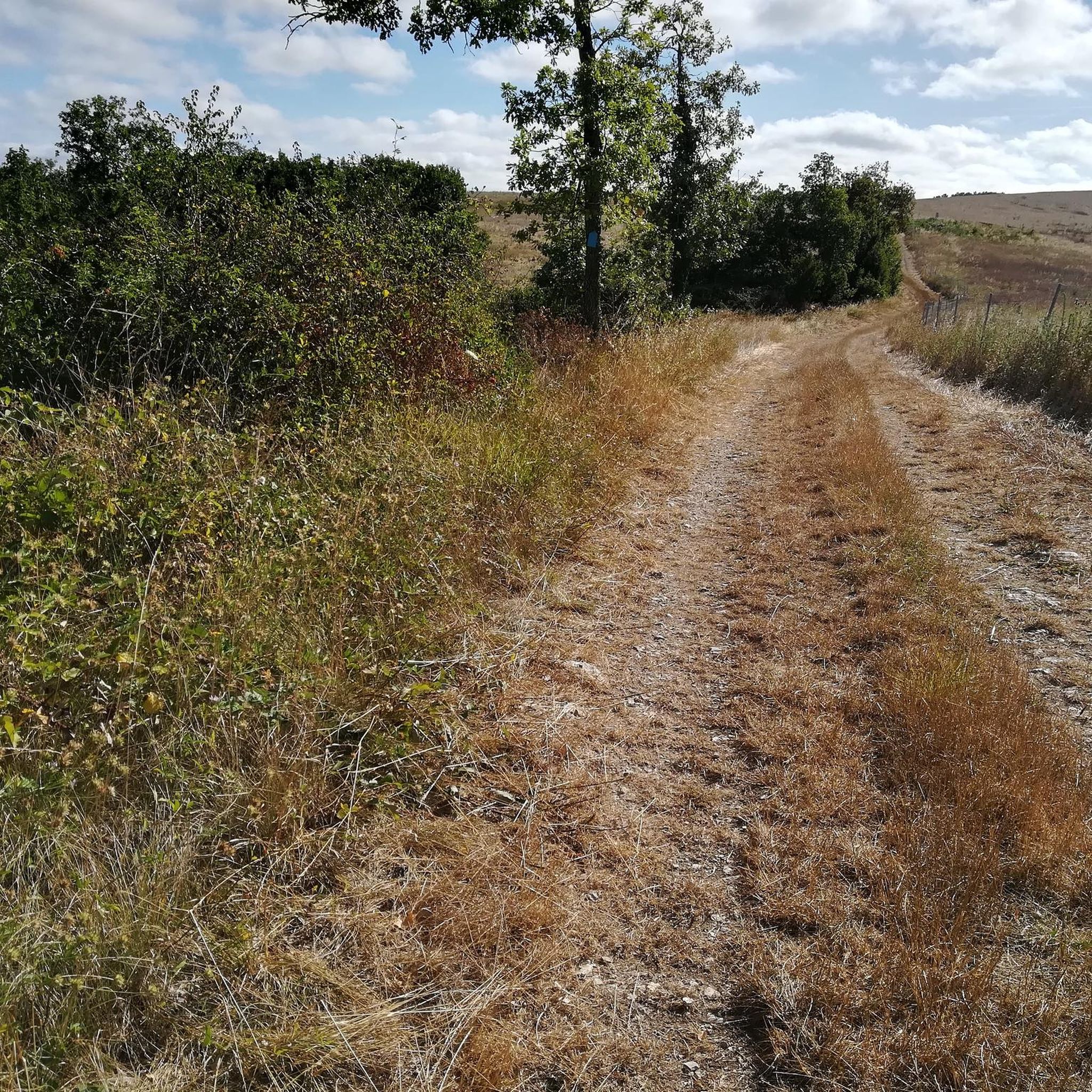
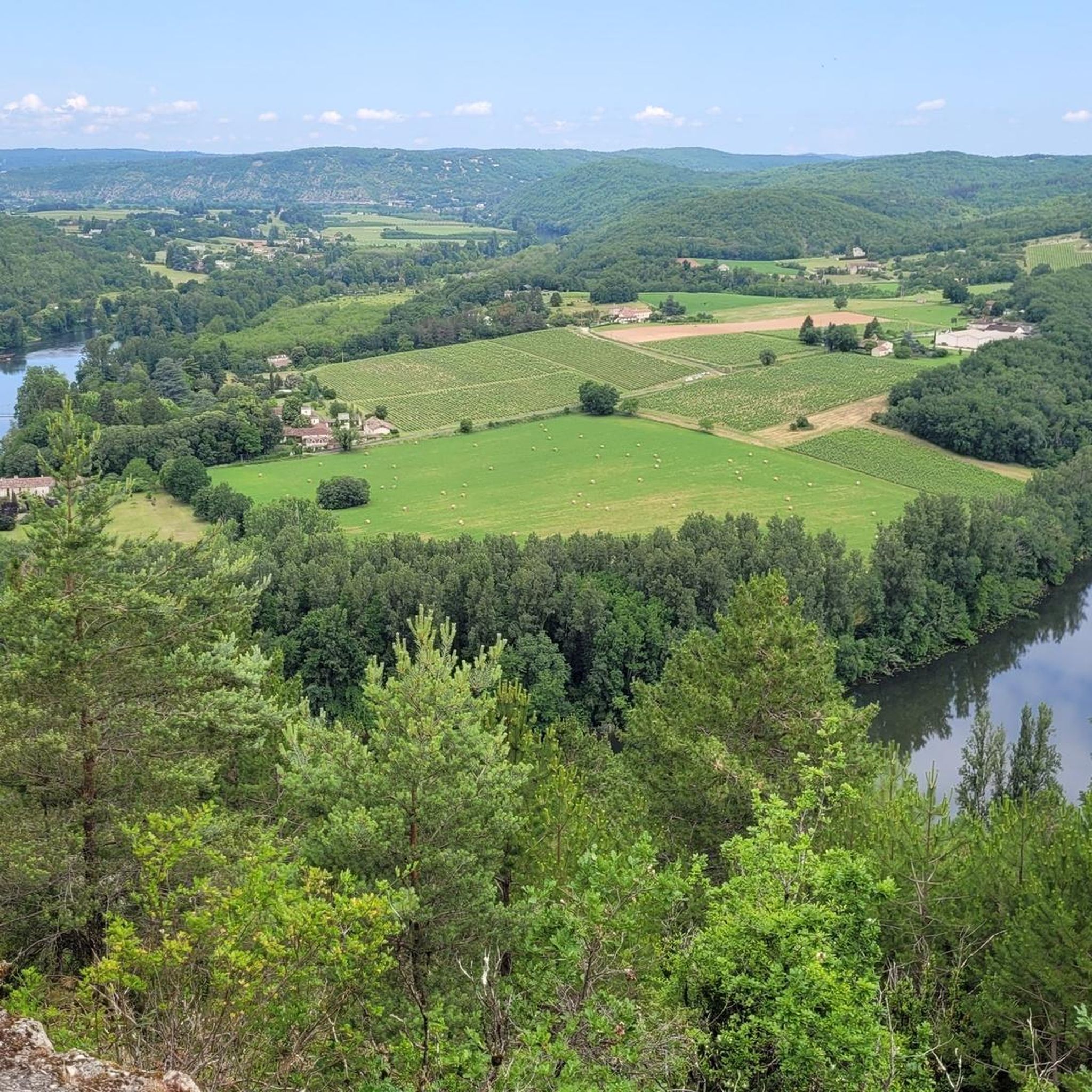
Hiking around Carnac-Rouffiac offers trails through a landscape characterized by rolling hills, river valleys, and agricultural land. The region features a mix of open fields, vineyards, and wooded areas, providing varied scenery for hikers. Elevations are generally moderate, with routes often following contours of the land and offering views of the surrounding countryside. The terrain is suitable for a range of hiking experiences, from gentle strolls to more extended walks.
Best hiking trails around Carnac-Rouffiac
- The most popular hiking route is Albas and Croix de Girard Loop, a 3.5 miles (5.6 km) trail that takes 1 hour 40 minutes to complete. This easy route traverses varied local terrain.
- Another top favourite among local hikers is Belaye – Uitzichtpunt historisch Belaye loop from Bélaye, a moderate 6.9 miles (11.1 km) path. This route includes a viewpoint overlooking the historic village of Belaye.
- Local hikers also love the Green Tunnel – Le Fournil de Cas du Lien loop from Porte-du-Quercy, a 4.5 miles (7.3 km) trail leading through shaded sections and rural landscapes, often completed in about 2 hours 5 minutes.
- Hiking around Carnac-Rouffiac is defined by rolling hills, riverine paths, and agricultural vistas. The network offers options for different ability levels, from easy walks to moderate excursions.
- The routes in Carnac-Rouffiac are highly rated by the komoot community with an average score of 4.4 stars from over 270 reviews. More than 1,200 hikers have used komoot to explore Carnac-Rouffiac's varied terrain.
Last updated: July 8, 2026
3.6
(24)
58
hikers
5.61km
01:39
170m
170m
Easy hike. Great for any fitness level. Easily-accessible paths. Suitable for all skill levels.
4.7
(14)
53
hikers
11.2km
03:08
220m
220m
Moderate hike. Good fitness required. Easily-accessible paths. Suitable for all skill levels.

Sign up for free
4.8
(10)
29
hikers
7.29km
02:04
160m
160m
Moderate hike. Good fitness required. Easily-accessible paths. Suitable for all skill levels.
4.0
(8)
23
hikers
8.95km
02:31
180m
180m
Moderate hike. Good fitness required. Easily-accessible paths. Suitable for all skill levels.
4.5
(2)
14
hikers
15.6km
04:12
200m
200m
Moderate hike. Good fitness required. Easily-accessible paths. Suitable for all skill levels.
Get access to more routes and recommendations from other explorers.
Sign up for free
Already have an account?
Our route recommendations are based on thousands of hikes, rides, and runs completed by other people on komoot.
Start today with a free account
Your next adventure awaits.
Login or Signup


Tips from the Community

A magnificent place for both partying and running... Belaye!!!
0
0

a very beautiful village, ideal for a walking loop, pretty paths, quite sporty, magnificent landscapes
0
0


Nice view of the center from the narrow bridge
0
0

The last part of the route is private property! It is also poorly accessible.
0
0

From the top of its 276 meters, this cross offers a breathtaking view of the Alba vineyard.
2
0
An ideal place to stop on a trip to breathe a little and admire the view of the Lot valley.
2
0
From the top of its 276 meters, this cross offers a breathtaking view of the Alba vineyards.
2
0
Frequently Asked Questions
How many hiking trails are available around Carnac-Rouffiac?
There are over 120 hiking trails in the Carnac-Rouffiac region, offering a wide variety of options for different skill levels and preferences.
Are there easy hiking trails suitable for beginners in Carnac-Rouffiac?
Yes, Carnac-Rouffiac offers a good selection of easy trails. There are 44 easy routes, such as the Albas and Croix de Girard Loop, which is 3.5 miles (5.6 km) long and traverses varied local terrain.
What kind of terrain can I expect on hikes in Carnac-Rouffiac?
The region is characterized by rolling hills, river valleys, and agricultural land. You'll find a mix of open fields, vineyards, and wooded areas, providing diverse scenery. Elevations are generally moderate, with routes often following the contours of the land.
Are there any circular hiking routes in the area?
Many of the trails in Carnac-Rouffiac are designed as loops. For example, the Belaye – Uitzichtpunt historisch Belaye loop from Bélaye is a moderate 6.9-mile (11.1 km) circular path that includes a viewpoint overlooking the historic village of Belaye.
Are there any hikes with notable viewpoints or attractions?
Yes, several routes offer scenic views and pass by interesting sites. The Belaye – Uitzichtpunt historisch Belaye loop provides a viewpoint over Bélaye. You can also explore attractions like Montcuq Old Town or the Albas suspension bridge, which can be incorporated into your hiking plans.
What do other hikers enjoy most about the trails in Carnac-Rouffiac?
The area is highly rated by the komoot community, with an average score of 4.4 stars from over 270 reviews. Hikers often praise the varied terrain, from open fields to wooded sections, and the moderate elevations that make the routes accessible to many.
Are there family-friendly hiking options in Carnac-Rouffiac?
Yes, with 44 easy routes, there are many options suitable for families. These trails typically feature gentle gradients and shorter distances, allowing for enjoyable outings with children. The varied landscapes also keep younger hikers engaged.
Is parking available at the trailheads?
Parking is generally available near the starting points of many popular trails in the Carnac-Rouffiac region, especially in or near villages. It's advisable to check specific route details on komoot for precise parking information before you set out.
What is the best time of year to go hiking in Carnac-Rouffiac?
Spring and autumn are often considered ideal for hiking in Carnac-Rouffiac, offering pleasant temperatures and beautiful scenery as the landscape changes. Summer can also be enjoyable, particularly in the mornings or late afternoons, to avoid the midday heat.
Are there any trails that go through shaded areas?
Yes, many routes incorporate wooded sections, providing welcome shade, especially during warmer months. The Green Tunnel – Le Fournil de Cas du Lien loop from Porte-du-Quercy, for instance, leads through shaded sections and rural landscapes.
How long do hikes typically take in Carnac-Rouffiac?
Hike durations vary widely depending on the route's length and your pace. Easy trails like the Albas and Croix de Girard Loop can take around 1 hour 40 minutes, while moderate routes such as the View of the Cross on the Hill loop from Barguelonne-en-Quercy might take over 4 hours.
Can I find trails that pass by the Lot River?
Yes, the region's landscape includes river valleys, and some routes will take you along or near the Lot River. For example, the Albas – Albas suspension bridge loop from Albas offers views of the river and its surroundings.
Most popular routes around Carnac-Rouffiac
Most popular attractions around Carnac-Rouffiac

Get inspired with the komoot mobile app


Explore more
Browse the best Hikes in other regions.
