The best MTB trails around Bonvillaret
4.4
(47)
450
riders
51
rides
Mountain biking around Bonvillaret offers access to diverse terrain in the Savoie department, situated on the western foothills of the Grand Arc massif. The area features varied elevations, from lower valleys to mountain slopes, providing a range of riding experiences. Riders can explore routes winding through forests, past former vineyards, and along scenic paths with views of the Combe de Savoie. This region serves as a gateway to extensive mountain biking opportunities within the larger Savoie area, known for its…
Last updated: July 15, 2026
4.0
(1)
7
riders
Hard mountain bike ride. Very good fitness required. Suitable for all skill levels.
4.0
(2)
22
riders
49.2km
03:49
260m
260m
Hard mountain bike ride. Good fitness required. Advanced riding skills necessary. Some portions of the route may require you to push your bike.

Sign up for free
11
riders
28.2km
03:48
1,490m
1,490m
Hard mountain bike ride. Very good fitness required. Advanced riding skills necessary. Some portions of the route may require you to push your bike.
12
riders
61.0km
04:04
810m
810m
Moderate mountain bike ride. Good fitness required. Advanced riding skills necessary.
5.0
(2)
9
riders
42.4km
04:40
1,840m
1,840m
Hard mountain bike ride. Very good fitness required. Advanced riding skills necessary.
Get access to more routes and recommendations from other explorers.
Sign up for free
Already have an account?
Our route recommendations are based on thousands of hikes, rides, and runs completed by other people on komoot.
Start today with a free account
Your next adventure awaits.
Login or Signup


Tips from the Community


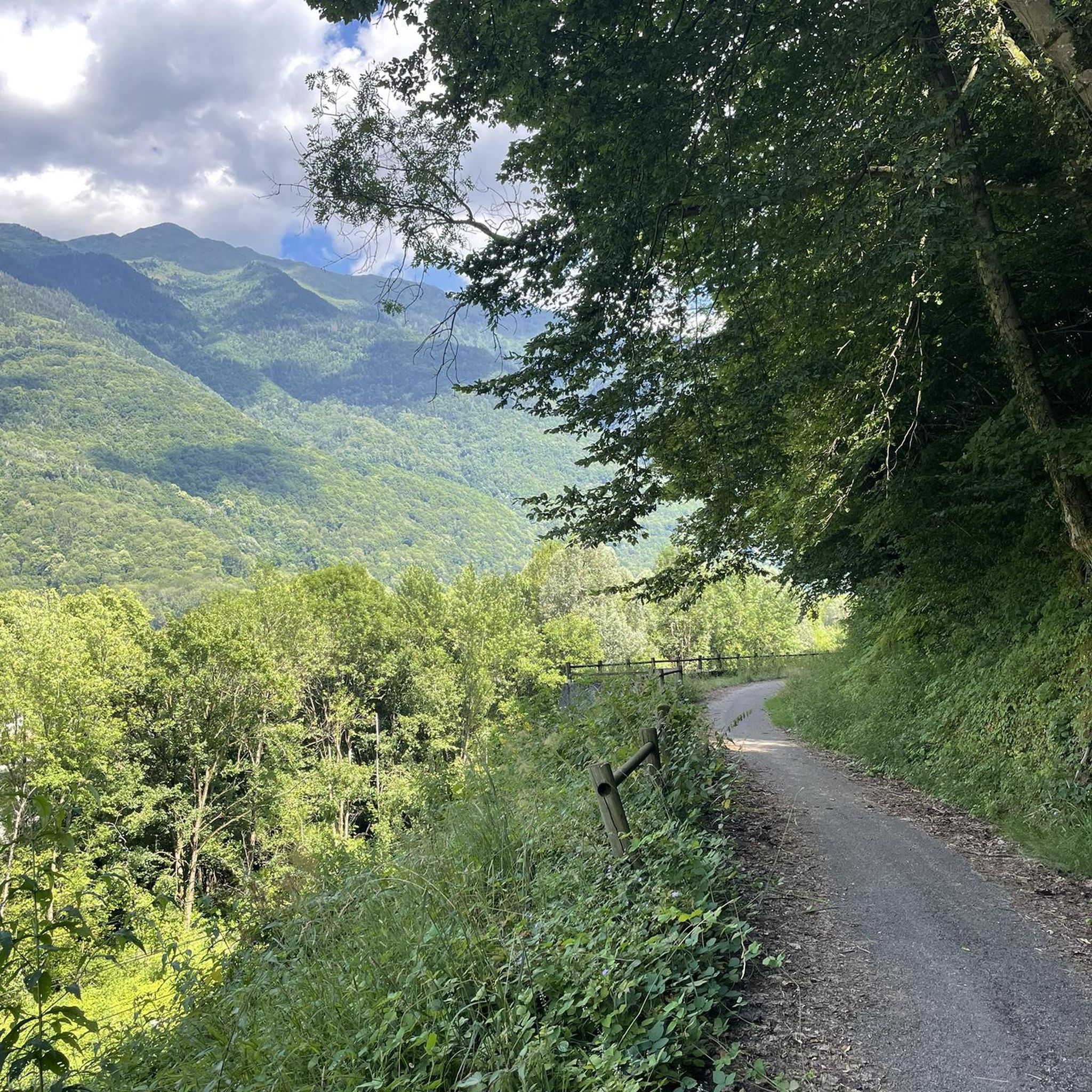
A sustained climb from Chamoux; for those with the best tire equipment (minimum 25" 4 seasons), it's possible to climb all the way to the Fort itself!
0
0


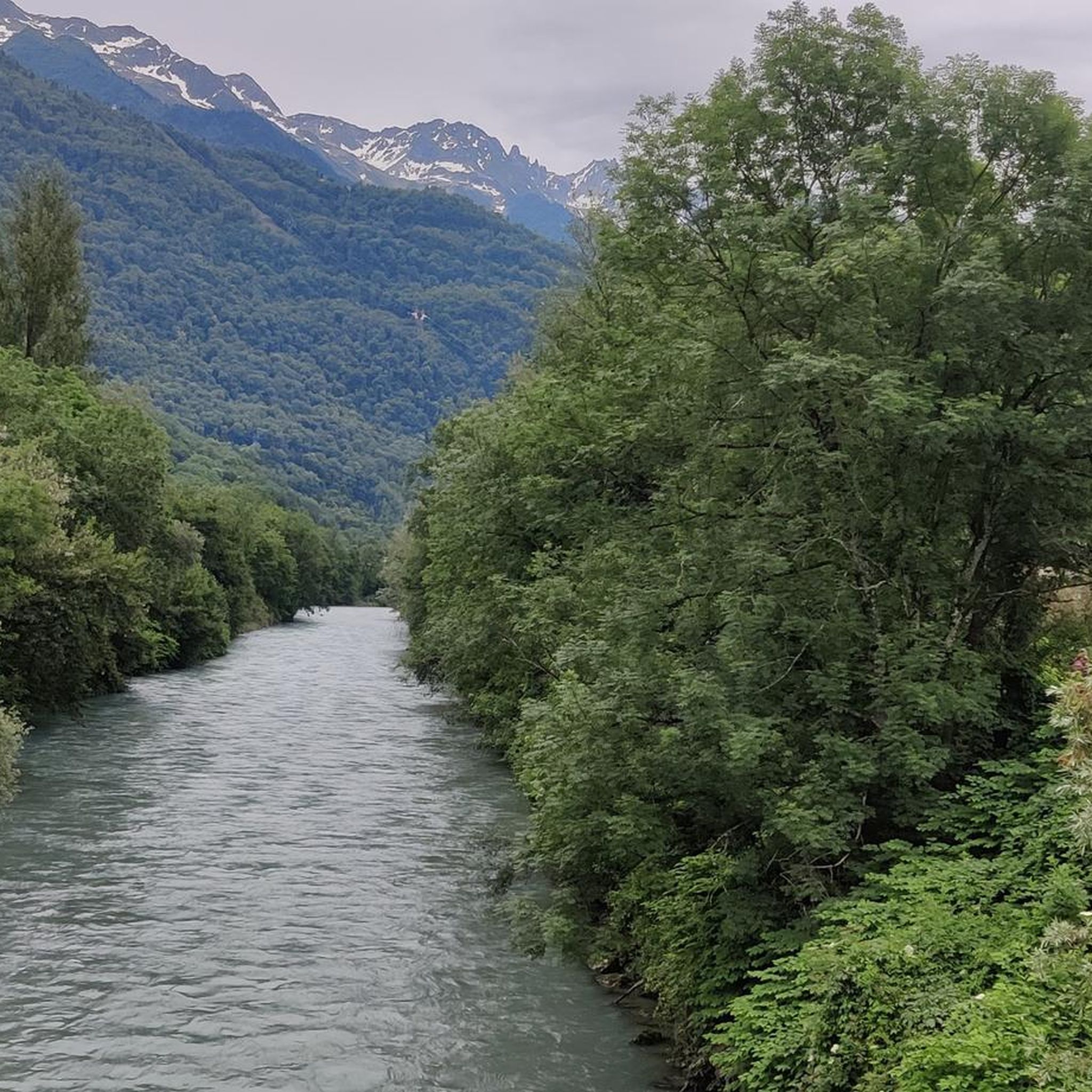
A good town at the bottom of the valley where you can stop to cool off and have a drink at a bar.
0
0
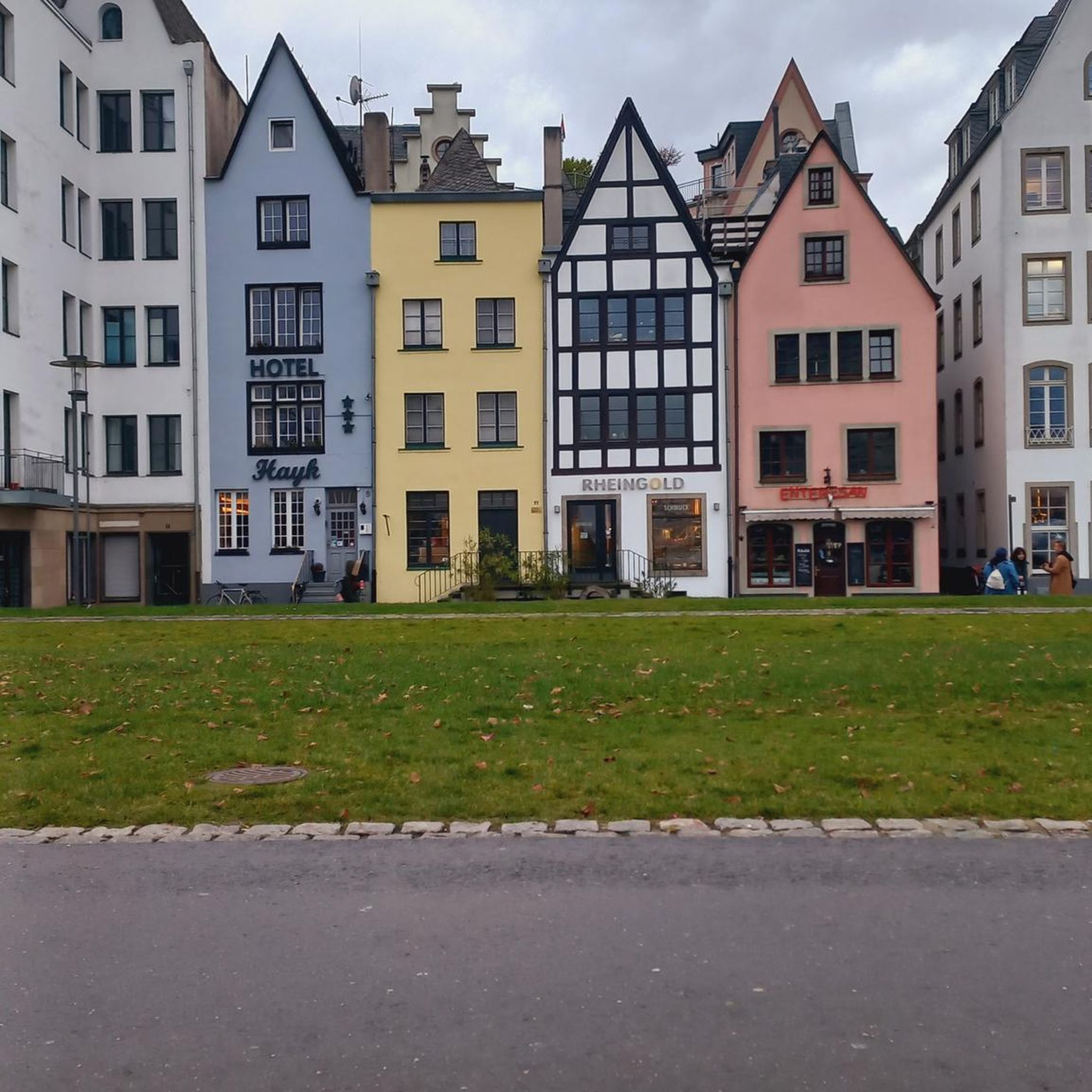
A transit town where you can find a fountain and a bar where you can have a drink.
0
0

Used by miners to go back down to the valley, the carts loaded with minerals.
0
0
Frequently Asked Questions
How many mountain bike trails are available around Bonvillaret?
There are over 40 mountain bike trails around Bonvillaret, catering to various skill levels. This includes 5 easy routes, 16 moderate routes, and 20 difficult routes for more experienced riders.
What kind of terrain can I expect on mountain bike trails near Bonvillaret?
The terrain around Bonvillaret is diverse, ranging from lower valleys to mountain slopes. You'll find routes winding through forests, past former vineyards, and along scenic paths with views of the Combe de Savoie. The wider Savoie region offers everything from cross-country to enduro and e-mountain biking options.
Are there any easy mountain bike trails suitable for beginners or families?
Yes, there are 5 easy mountain bike routes around Bonvillaret. An example is the Grignon Lake – Old town of Albertville loop from Saint-Vital, which is 15.7 miles (25.3 km) long and features minimal elevation gain, making it suitable for a more relaxed ride.
What are some challenging mountain bike trails for experienced riders?
For experienced riders, there are 20 difficult routes. You could try the Col du Grand Cucheron – Saint-Georges-d'Hurtières loop from Saint-Georges-d'Hurtières, a 17.2 miles (27.7 km) trail with significant climbs, or the Aiguebelle – Chapelle de Montsapey loop from Aiguebelle, which is 17.5 miles (28.2 km) and features substantial elevation gain.
Are there any circular mountain bike routes around Bonvillaret?
Yes, many of the mountain bike trails around Bonvillaret are designed as loops. For example, the Grignon Lake – Old town of Albertville loop from Saint-Vital is an easy option, while the Chalet de la Thuile – Fort loop from Bonvillard offers a more challenging 20.1 miles (32.3 km) ride through varied mountain terrain.
What natural features or landmarks can I see while mountain biking near Bonvillaret?
While mountain biking, you can encounter various natural features and landmarks. Notable summits in the area include Dent d'Arclusaz and Mont d'Armenaz. You might also pass by the Col du Grand Cucheron or the historic Fort Montgilbert. The View of the Combe de Savoie – Raffoux Waterfall loop from Chamousset offers scenic views and passes a waterfall.
Is Bonvillaret a good base for exploring the wider Savoie mountain biking region?
Yes, Bonvillaret's strategic location makes it an excellent base. The Savoie region is renowned for its extensive mountain biking network, including areas like Haute Maurienne Vanoise and Saint-Jean-De-Maurienne, which are within reasonable distance and offer hundreds of kilometers of marked trails for all skill levels.
What do other mountain bikers enjoy most about the trails in Bonvillaret?
The mountain bike trails around Bonvillaret are highly rated by the komoot community, with an average score of 4.4 stars from over 40 reviews. Riders often praise the diverse elevation, the scenic views of the Combe de Savoie, and the variety of routes that cater to different abilities.
Are there any trails that offer views of the Combe de Savoie?
Yes, many routes in the area provide picturesque views of the Combe de Savoie. The View of the Combe de Savoie – Raffoux Waterfall loop from Chamousset is a moderate 35.4 miles (57.1 km) route specifically highlighted for its scenic vistas of the Combe de Savoie.
What is the best time of year for mountain biking in Bonvillaret?
The Savoie region generally offers excellent mountain biking conditions from spring through autumn. Summer months benefit from adapted ski lifts in nearby hubs for higher altitude access. However, the varied elevation around Bonvillaret means that lower valley routes can be enjoyable earlier and later in the season, while higher trails are best in warmer, drier months.
Are there any services for mountain bikers, such as e-bike charging or repairs, nearby?
While specific services in Bonvillaret itself are not detailed, the popularity of mountain biking in the wider Savoie region means that nearby areas like Bonneval sur Arc offer services such as e-bike charging stations, repair kits, and bike instructors, enhancing the overall experience for cyclists.
Can I find more information about Bonvillaret as a village?
For more information about the village of Bonvillaret itself, including its history and local attractions, you can visit the Porte de Maurienne Tourisme website.
Most popular routes around Bonvillaret
Most popular attractions around Bonvillaret

Get inspired with the komoot mobile app


Explore more
Browse the best MTB trails in other regions.
