The best running trails around Cabrerets
4.7
(53)
1,580
runners
119
runs
Jogging around Cabrerets offers diverse terrain within the Célé valley and the Lot department of France. The region is characterized by picturesque riverside paths along the Lot and Célé rivers, contrasting with the arid limestone plateaus of the Causses du Quercy Natural Regional Park. Impressive cliffs, such as those flanking the village, provide varied elevation and scenic backdrops for running routes. This landscape provides a mix of environments for different fitness levels.
Best jogging routes around Cabrerets
- The most popular…
Last updated: October 25, 2026
5.0
(1)
62
runners
Moderate run. Good fitness required. Mostly paved surfaces.
4.8
(4)
175
runners
10.0km
01:11
220m
220m
Hard run. Good fitness required. Sure-footedness, sturdy shoes and alpine experience required.

5.0
(1)
16
runners
16.8km
02:06
530m
530m
Hard run. Very good fitness required. Sure-footedness, sturdy shoes and alpine experience required.
9
runners
12.2km
01:25
300m
300m
Hard run. Very good fitness required. Mostly paved surfaces.
5.0
(1)
6
runners
15.5km
01:59
510m
510m
Hard run. Very good fitness required. Mostly paved surfaces.
Get access to more routes and recommendations from other explorers.
Already have an account?
Our route recommendations are based on thousands of hikes, rides, and runs completed by other people on komoot.
Start today with a free account
Your next adventure awaits.
Popular around Cabrerets
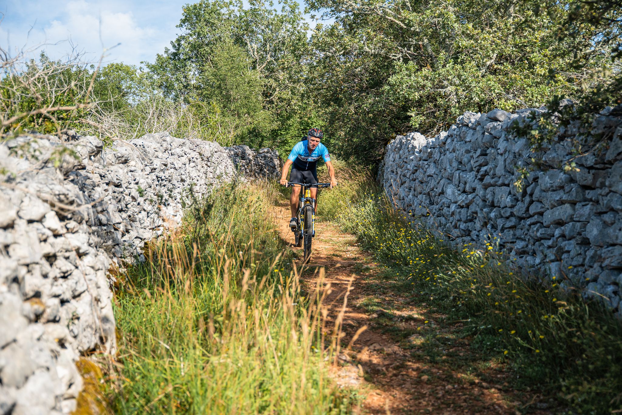
Valleys, the Causses and natural beauty – discover the Lot by MTB
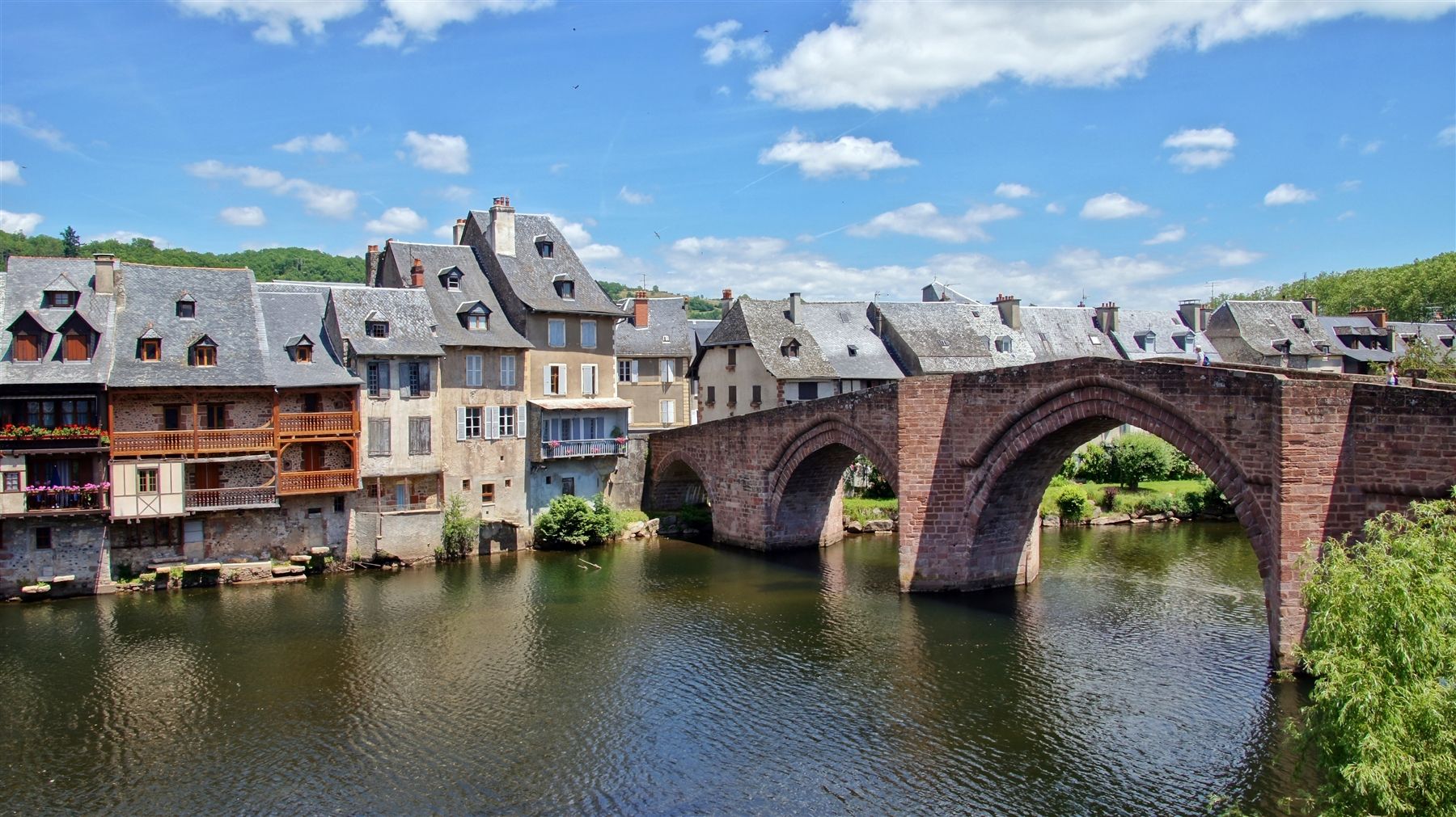
In the heart of France's Quercy region — the GR 651
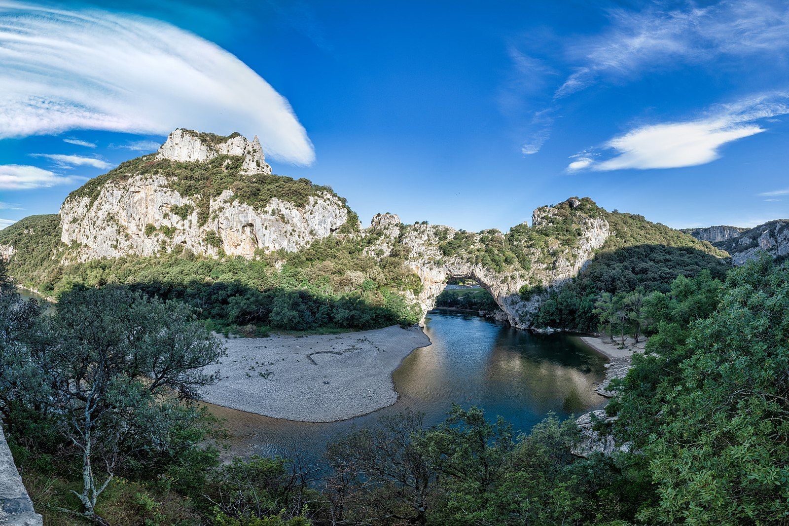
In the steps of the Cro-Magnon – a prehistoric journey in France

Hiking around Cabrerets

Road Cycling Routes around Cabrerets

MTB Trails around Cabrerets

Cycling around Cabrerets

Gravel biking around Cabrerets
Other adventures around Cabrerets


Tips from the Community

The magnificent corniche road overlooking the meanders of the river is located at the level of the spectacular Lot valley, particularly on the heights of the limestone plateaus and cliffs. In Saint-Cirq-Lapopie: The Lapopie rock and the Bancourel dovecote offer a spectacular 360-degree plunging view over the river.
0
0
In the Middle Ages, the village was a major stronghold in the Quercy region. The site was shared between three major noble dynasties (the Lapopie, the Gourdon, and the Cardaillac), each of whom owned their own castle at the top of the rock. The name comes from Saint Cyr (a young Christian martyr from the 4th century) and the noble Lapopie family, who gave their name to the steep rock (la popa meaning "the breast" in Occitan, evoking the shape of the cliff).
0
0
The magnificent corniche road overlooking the meanders of the river is located in the spectacular Lot valley, particularly on the heights of the limestone causse and cliffs. In Saint-Cirq-Lapopie: The Lapopie rock and the Bancourel dovecote offer a spectacular 360-degree plunging view over the river.
0
0

Pleasant walking spot, although touristy
0
0

Superb view over the Lot and this magnificent village
0
0

The best view of the Lot River is from the remains of a castle.
0
0

Be careful when crossing these bridges. During my last hike, the metal sheets fixed between the rails were falling... you might take a nice dip in the Lot River!
1
0

Vers is a small village nestled between a cliff and a river, super quiet and full of charm. There's an old mill, a troglodyte castle clinging to the rock, and even an ancient Roman aqueduct carved into the cliff. If you enjoy cycling or walking, the Vers Valley is perfect: shaded, wild, and often secluded from the world.
0
0
Frequently Asked Questions
What kind of terrain can I expect on running routes around Cabrerets?
Jogging routes around Cabrerets offer a diverse mix of landscapes. You'll find picturesque riverside paths along the Lot and Célé rivers, contrasting with the arid limestone plateaus of the Causses du Quercy Natural Regional Park. The region is also flanked by impressive cliffs, providing varied elevation and scenic backdrops for your runs. This means you can choose between relatively flat riverside trails and more challenging routes with significant climbs.
Are there many running trails available in the Cabrerets area?
Yes, the Cabrerets area boasts a wide selection of running trails. There are over 120 routes available, catering to various fitness levels. You'll find a good mix of easy, moderate, and challenging options to explore the valleys, plateaus, and cliffs of the region.
Can I find circular running routes in Cabrerets?
Absolutely. Many of the running routes around Cabrerets are circular, allowing you to start and finish at the same point. For example, the route On the trails of André Breton is a popular loop from Bouziès, taking you through the Parc Naturel Régional des Causses du Quercy.
What are some notable landmarks or viewpoints I can see while jogging in Cabrerets?
The running routes in Cabrerets offer stunning views and pass by historical sites. You can run along the historic Bouziès Towpath, carved into the rock, offering unique perspectives of the Lot River. Routes also provide glimpses of impressive cliffs and the unique geomorphology of the Causses. For specific viewpoints, consider trails that offer vistas of St-Cirq-Lapopie Heights or pass by the English Castle of Bouziès.
Are there any family-friendly running routes around Cabrerets?
Yes, the region offers trails suitable for families. The relatively flat riverside paths along the Lot and Célé valleys are generally good options for an easier pace. While specific 'family-friendly' routes are not explicitly detailed, many of the easier trails can be enjoyed with children, allowing them to experience the natural beauty of the area.
What is the best time of year for jogging in Cabrerets?
The spring and autumn months are generally ideal for jogging in Cabrerets. The weather is typically milder and more pleasant, making it comfortable to explore the valleys and plateaus. Summer can be warm, especially on the exposed Causses, so early morning or late afternoon runs are recommended then. Winter offers a different charm, but trails might be damp or muddy.
Where can I find parking for running trails in Cabrerets?
Parking is generally available in and around Cabrerets, particularly near popular trailheads and villages. For routes starting from Bouziès, you'll find parking facilities. If you're planning to run a route like the Cliffs Along the Lot River – Ganil towpath loop, look for parking in Bouziès. For routes originating from Saint-Cirq-Lapopie, parking is also available in that village.
Are there public transport options to access running trails in Cabrerets?
While Cabrerets is a charming village, public transport options directly to all trailheads might be limited. It's advisable to check local bus schedules if available, or consider driving to the starting points of your chosen routes. The village itself is accessible, and from there, many trails are within reach.
What do other runners enjoy most about jogging in Cabrerets?
The running routes in Cabrerets are highly rated by the komoot community, with an average score of 4.8 stars from over 40 reviews. Runners often praise the stunning natural beauty, the variety of terrain from riverside paths to limestone plateaus, and the opportunity to combine physical activity with exploring historical sites like the towpath carved into the rock. Over 1400 runners have already used komoot to discover the area.
Can I combine my run with a visit to a historical site or village?
Absolutely! The region is rich in history. Many running routes pass by or offer views of historical sites. For instance, the Troglodytic Château des Anglais – Ganil towpath loop from Saint-Cirq-Lapopie allows you to experience both the natural beauty of the towpath and the historical context of the château. The village of Saint-Cirq-Lapopie itself is a major attraction.
Are there any cafes or places to refresh after a run in Cabrerets?
Yes, Cabrerets and nearby villages offer options for refreshments. After your run, you can find cafes and small eateries in Cabrerets itself. The nearby village of Saint-Cirq-Lapopie, a popular tourist destination, also has a selection of cafes and restaurants where you can relax and refuel.
How long are the running routes around Cabrerets typically?
The running routes around Cabrerets vary in length to suit different preferences. You can find shorter, easier paths for a quick jog, while many popular routes range from 5 to 7 miles (8 to 11 km). For example, the Ganil towpath – Saint-Cirq-Lapopie loop is about 6.6 miles (10.7 km) and takes around 1 hour 17 minutes to complete.
Most popular attractions around Cabrerets

Get inspired with the komoot mobile app


Explore more
Browse the best Running Trails & Routes in other regions.
