The best walks and hikes around Berganty
4.5
(1487)
9,390
hikers
178
hikes
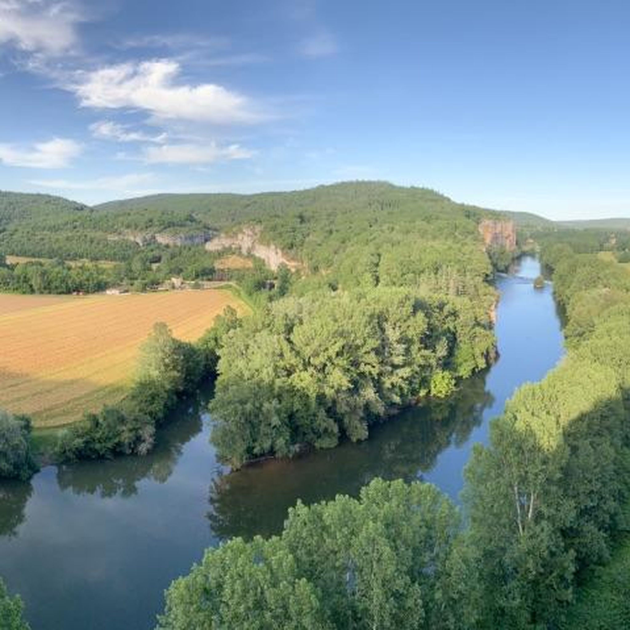
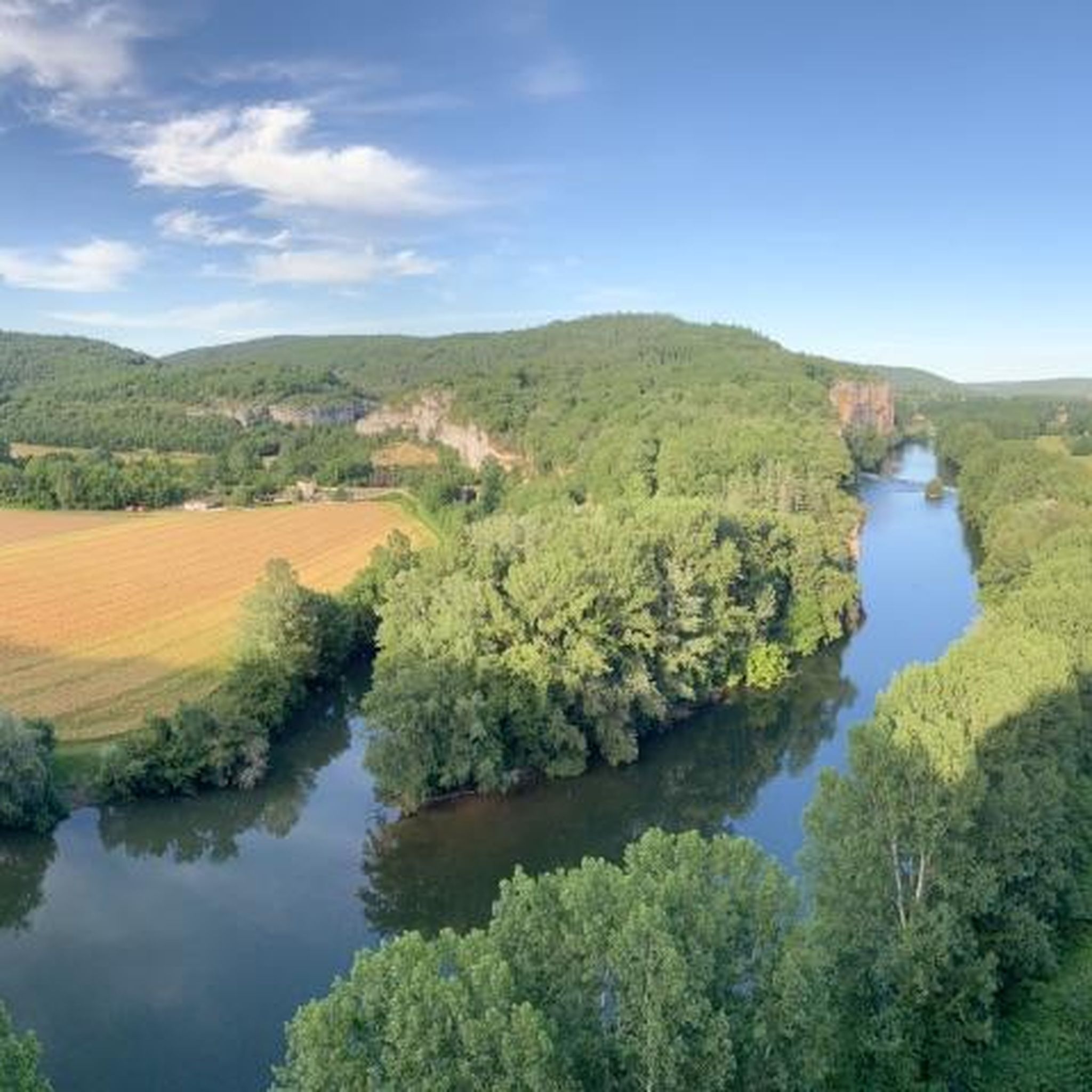
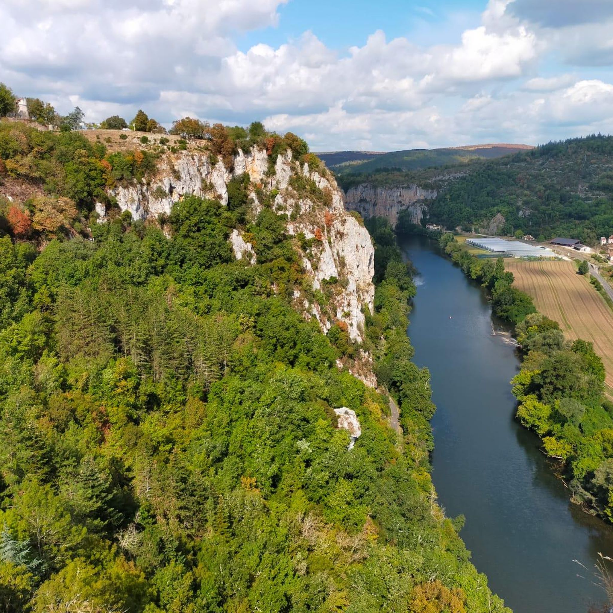
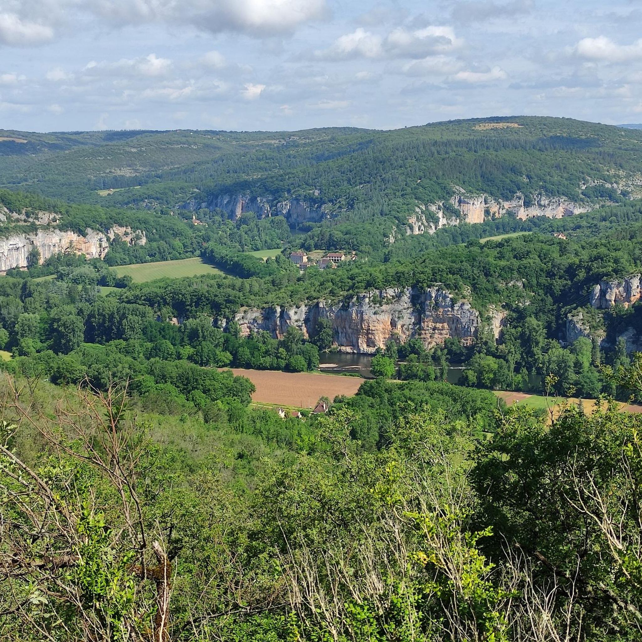
Hiking around Berganty offers a diverse landscape characterized by the Lot River valley, limestone cliffs, and elevated viewpoints. The region features a network of trails that traverse varied terrain, including riverside paths and routes leading to historic villages. Hikers can explore a mix of open areas and wooded sections, with options ranging from gentle strolls to more challenging ascents.
Best hiking trails around Berganty
- The most popular hiking route is Cliffs Along the Lot River – Saint-Cirq-Lapopie loop from Les…
Last updated: October 25, 2026
4.7
(14)
92
hikers
28.3km
07:58
550m
550m
Hard hike. Very good fitness required. Mostly walkable paths. Sure-footedness required.
4.0
(5)
26
hikers
6.59km
01:57
190m
190m
Easy hike. Easily walkable paths.

4.7
(3)
24
hikers
Moderate hike. Good fitness required. Easily walkable paths.
5.0
(2)
18
hikers
Easy hike. Easily walkable paths.
12
hikers
Easy hike. Easily walkable paths.
Get access to more routes and recommendations from other explorers.
Already have an account?
Our route recommendations are based on thousands of hikes, rides, and runs completed by other people on komoot.
Start today with a free account
Your next adventure awaits.

Tips from the Community

The magnificent corniche road overlooking the meanders of the river is located at the level of the spectacular Lot valley, particularly on the heights of the limestone plateaus and cliffs. In Saint-Cirq-Lapopie: The Lapopie rock and the Bancourel dovecote offer a spectacular 360-degree plunging view over the river.
0
0
La Maison André Breton (historically known as Auberge des Mariniers) is the oldest inhabited building in the medieval village of Saint-Cirq-Lapopie in the Lot. Purchased in 1951 by the poet and theorist of surrealism André Breton, it was his summer refuge until his death in 1966 and the gathering place for many major artists of the time (such as Max Ernst, Man Ray or Joan Miró).
0
0
This historic and narrow alley runs along the back of the village theatre and houses, among other things: La Maison de la Fourdonne: a remarkable medieval dwelling serving as a cultural space and recounting the history of the village.
0
0
Located in the heart of the famous medieval village of Saint-Cirq-Lapopie, these freely accessible ruins correspond to an old fortified dwelling built between the 13th and 14th centuries. Established on a rocky spur overlooking the Lot, the fortified complex was shared between three families of co-lords: the Lapopie, the Gourdon, and the Cardaillac. The castle of the latter is the best preserved, with its main building leaning against a Romanesque keep with buttresses.
0
0
In the Middle Ages, the village was a major stronghold in the Quercy region. The site was shared between three major noble dynasties (the Lapopie, the Gourdon, and the Cardaillac), each owning their own castle at the top of the rock. The name comes from Saint Cyr (a young Christian martyr from the 4th century) and the noble Lapopie family, who gave their name to the steep rock (la popa meaning "the breast" in Occitan, evoking the shape of the cliff).
0
0
In the Middle Ages, the village was a major stronghold in the Quercy region. The site was shared between three major noble dynasties (the Lapopie, the Gourdon, and the Cardaillac), each of whom owned their own castle at the top of the rock. The name comes from Saint Cyr (a young Christian martyr from the 4th century) and the noble Lapopie family, who gave their name to the steep rock (la popa meaning "the breast" in Occitan, evoking the shape of the cliff).
0
0
In the Middle Ages, the village was a major stronghold of the Quercy region. The site was shared between three great lordly dynasties (the Lapopie, the Gourdon, and the Cardaillac), each of whom owned their own castle at the top of the rock. The name comes from Saint Cyr (a young Christian martyr from the 4th century) and the lordly family of the Lapopie, who gave their name to the steep rock (la popa meaning "the breast" in Occitan, evoking the shape of the cliff).
0
0
In the Middle Ages, the village was a major stronghold in the Quercy region. The site was shared between three major feudal dynasties (the Lapopie, the Gourdon, and the Cardaillac), each of whom owned their own castle at the top of the rock. The name comes from Saint Cyr (a young Christian martyr from the 4th century) and the feudal family of Lapopie, who gave their name to the steep rock (la popa meaning "the breast" in Occitan, evoking the shape of the cliff).
0
0
Frequently Asked Questions
How many hiking trails are available around Berganty?
There are over 160 hiking routes around Berganty, offering a wide range of options for different skill levels and preferences. You'll find everything from short, easy walks to challenging full-day treks.
Are there easy hiking trails suitable for beginners or families in Berganty?
Yes, Berganty offers a good selection of easy trails. There are 46 easy routes, many of which are suitable for beginners or families. For example, the St-Cirq-Lapopie Heights – Saint-Cirq-Lapopie loop from Saint-Cirq-Lapopie is a pleasant 3 km walk, and the Saint-Cirq-Lapopie Church – Saint-Cirq-Lapopie loop from Saint-Cirq-Lapopie offers a slightly longer 6.7 km option.
What kind of natural attractions can I expect to see along the hiking trails in Berganty?
The region is known for its dramatic limestone cliffs and the Lot River valley. Hikers can explore features like the Ganil lock and towpath along the river, or discover the unique geological formation of The Igue of Crégols, a natural gorge.
Are there any circular hiking routes around Berganty?
Many of the trails around Berganty are designed as loops, allowing you to start and end in the same location. For instance, the popular Saint-Cirq-Lapopie – Cliffs Along the Lot River loop from Saint-Cirq-Lapopie is a moderate 11.8 km circular route offering great views.
What historical landmarks or villages can be explored while hiking in Berganty?
The area is rich in history. The medieval village of Saint-Cirq-Lapopie is a must-see, often integrated into hiking routes. You can also discover impressive structures like The English Castle of Bouziès or the Château de Cénevières, both offering glimpses into the region's past.
What do other hikers say about the trails in Berganty?
The hiking trails in Berganty are highly regarded by the komoot community, with an average rating of 4.6 out of 5 stars from over 1200 reviews. Hikers frequently praise the diverse landscapes, the stunning views of the Lot River, and the well-maintained paths that lead through both natural beauty and historic sites.
Are there any trails that offer elevated viewpoints of the region?
Absolutely. Many routes in Berganty traverse elevated areas, providing panoramic views of the Lot River valley and the surrounding countryside. The St-Cirq-Lapopie Heights – Saint-Cirq-Lapopie loop from Saint-Cirq-Lapopie is a good example of a trail that takes you to higher ground for scenic vistas.
What is the best season for hiking in Berganty?
Spring and autumn are generally considered the best seasons for hiking in Berganty, offering pleasant temperatures and vibrant natural colors. Summer can be warm, making early morning or late afternoon hikes preferable, especially for longer routes. Winter hiking is possible but some services might be limited.
Are there any trails that follow old railway lines or unique historical paths?
Yes, you can find unique historical paths in the area. One interesting feature is the Abandoned railway, which offers a distinctive route for walkers, often integrated into longer trails, providing a glimpse into the region's industrial past.
Are there any moderate trails for hikers looking for a bit more challenge than easy routes?
Berganty has 90 moderate trails, perfect for those seeking a longer or slightly more challenging hike. The Saint-Cirq-Lapopie – Cliffs Along the Lot River loop from Saint-Cirq-Lapopie is a popular moderate option, covering 11.8 km with some elevation changes.
What should I bring for a summer hike in Berganty?
For summer hikes in Berganty, it's essential to bring plenty of water, sun protection (hat, sunscreen), and appropriate footwear. Lightweight, breathable clothing is recommended. Given the potential for warm weather, consider starting your hikes early in the morning to avoid the midday heat, especially on longer routes.
Are there any less crowded hiking options if I prefer a quieter experience?
While popular spots like Saint-Cirq-Lapopie can attract visitors, Berganty's extensive network of over 160 trails means you can often find quieter paths. Exploring some of the less-known moderate or difficult routes, or hiking during off-peak hours, can lead to a more serene experience away from the main tourist hubs.
Most popular attractions around Berganty

Get inspired with the komoot mobile app


Explore more
Browse the best Hikes in other regions.
