The best walks and hikes around Berzème
4.5
(675)
3,191
hikers
131
hikes
Hiking around Berzème offers diverse landscapes across the Coiron plateau in the Ardèche region. The area features verdant woodlands, agricultural expanses, and meadows, shaped by its volcanic heritage with basalt rock formations and ancient volcanic mouths. The Claduegne River enriches the environment, while the broader Ardèche region provides dramatic canyons and hills. This varied terrain offers a range of hiking experiences.
Best hiking trails around Berzème
- The most popular hiking route is Roche Chérie Loop from Saint-Pons, a 6.5…
Last updated: July 1, 2026
4.5
(12)
53
hikers
10.4km
03:11
360m
360m
The Strombolian volcanoes — loop from Saint-Pons is a moderate 6.5-mile hike through ancient volcanic landscapes with panoramic views.
4.5
(8)
38
hikers
6.34km
01:43
90m
90m
Easy hike. Great for any fitness level. Easily-accessible paths. Suitable for all skill levels.

Sign up for free
5.0
(6)
38
hikers
5.66km
01:44
190m
190m
Easy hike. Great for any fitness level. Easily-accessible paths. Suitable for all skill levels.
4.7
(3)
22
hikers
11.1km
03:07
230m
230m
Moderate hike. Good fitness required. Easily-accessible paths. Suitable for all skill levels.
4.0
(1)
17
hikers
5.56km
01:47
220m
220m
Easy hike. Great for any fitness level. Easily-accessible paths. Suitable for all skill levels.
Get access to more routes and recommendations from other explorers.
Sign up for free
Already have an account?
Our route recommendations are based on thousands of hikes, rides, and runs completed by other people on komoot.
Start today with a free account
Your next adventure awaits.
Login or Signup

Tips from the Community

Don't miss these magnificent basalt organs
0
0

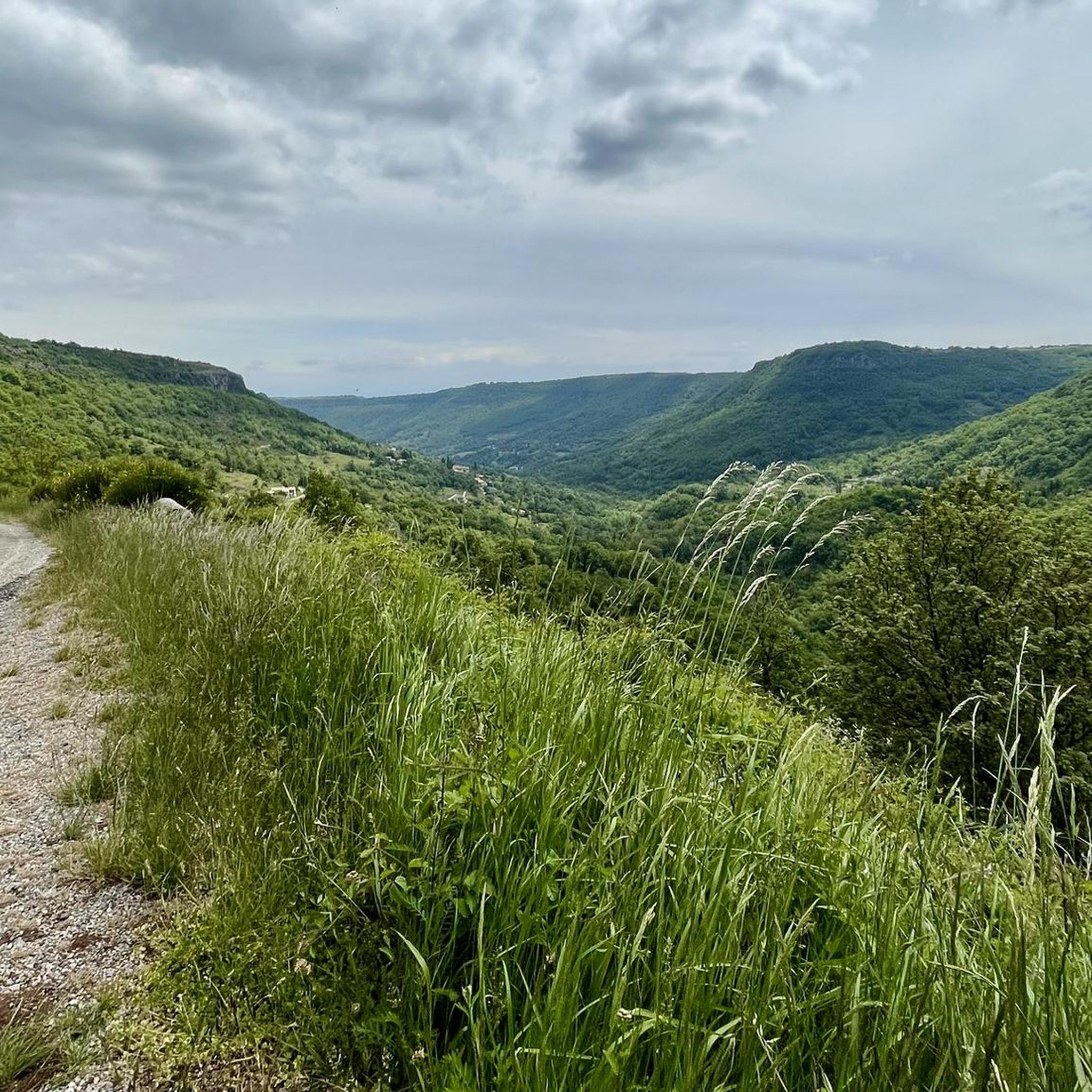
Road at the edge of the cliff. Remarkable view.
0
0

Saint-Pons was one of the oldest and most important strongholds of the Barony of Aps. Located at the foot of the Coiron, the village was fortified from the 14th century. One can still imagine, depending on the shape of the town, the location of the defensive wall. It is possible to park on the street to go hiking.
0
0
The chapel, nestled against a neck, was rebuilt at the end of the 19th century to fight against Phylloxera. The volcanic plateau of Coiron is an ancient massif since the lavas have been dated between 6 and 8 million years approximately. Strombolian cones have been seriously damaged by erosion. Some have been completely destroyed and we can only observe today the lower part of the chimney, in the form of large lava pellets, the necks or veins sometimes a kilometer long, the dykes.
0
0
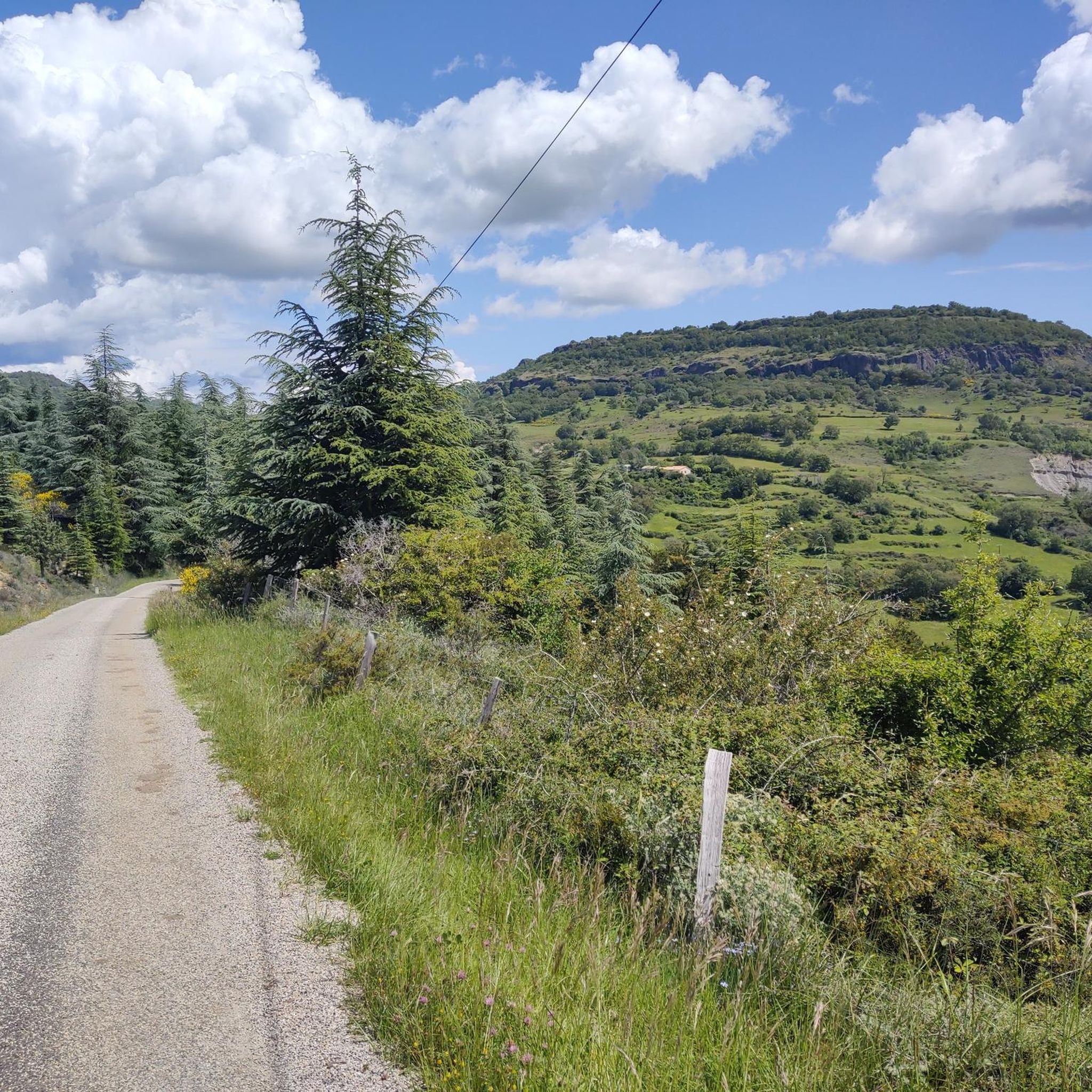
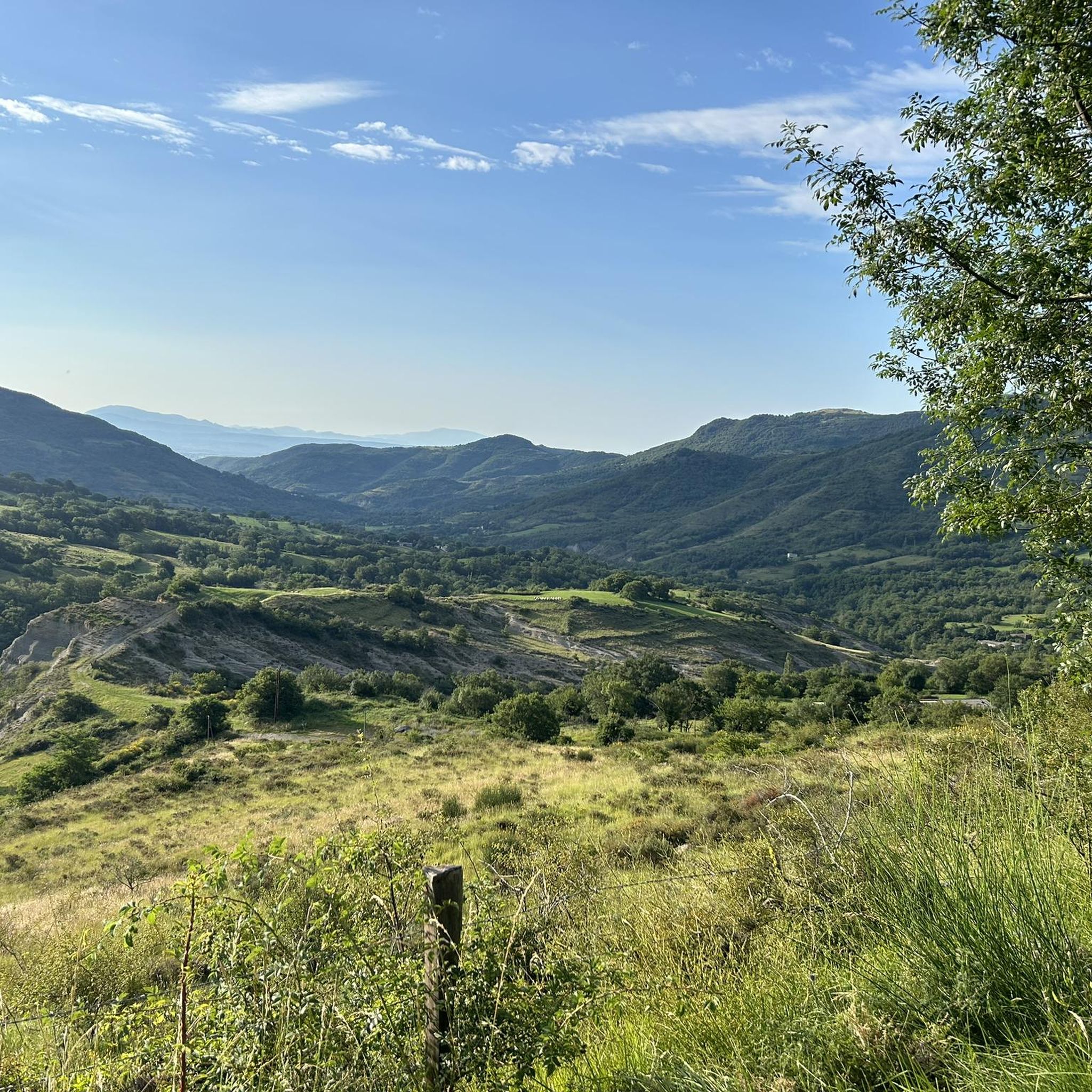
The Coiron plateau presents a typical landscape of natural meadows in bocage, maintained by breeders producing meat of recognized quality.
0
0
The volcanic activity of Coiron has developed at the level of two types of buildings: Strombolian volcanoes and explosion craters called maars. The volcanic plateau of Coiron is an ancient massif since the lavas have been dated between 6 and 8 million years approximately. Strombolian cones have been seriously damaged by erosion. Some have been completely destroyed and today we can only observe the lower part of the chimney, in the form of large lava pellets, the necks (Sceautres, Roche Chérie...), or veins sometimes a kilometer long , the dykes. The basalt flows have a particular structure due to their cooling: the lower part is cut into prisms or organs.
0
0

The start is in the wrong place (currently private land). It is better to continue for 100 meters on the Route de Villeneuve and park the car on the right in the residential area. here the route streets.
0
0

This basaltic plateau was actually home to two castles, one on the eastern slope and the other on the western slope. The eastern castle has disappeared, leaving the tower of the western castle balanced on the edge of the rocky plateau.
2
0
Frequently Asked Questions
How many hiking trails are available around Berzème?
There are over 130 hiking routes around Berzème, catering to various skill levels. You'll find a good mix, with more than 50 easy trails, over 70 moderate options, and a few more challenging treks for experienced hikers.
What kind of terrain can I expect on hikes around Berzème?
Hikes around Berzème traverse the diverse Coiron plateau, featuring verdant woodlands, agricultural expanses, and open meadows. The region's volcanic heritage is evident with basalt rock formations and ancient volcanic mouths, such as the 'champ coulant' between Taverne and Berzème. You'll also encounter areas shaped by the Claduegne River, and the broader Ardèche region offers dramatic canyons and hills, providing varied and picturesque landscapes.
Are there any family-friendly hiking options in Berzème?
Yes, Berzème offers several easy trails suitable for families. An excellent option is the Small Stream with Rocks – Picnic Area loop from Veyras, which is an easy 3.9-mile (6.2 km) path following a gentle stream, perfect for a leisurely walk and a picnic.
Can I bring my dog on the trails in Berzème?
While specific regulations can vary, generally, dogs are welcome on hiking trails in the Ardèche region. It's always recommended to keep your dog on a leash, especially in agricultural areas or near wildlife, and to clean up after them to ensure a pleasant experience for everyone.
Are there circular hiking routes available in Berzème?
Many of the hiking routes around Berzème are designed as loops, allowing you to start and end at the same point. Examples include the Roche Chérie Loop from Saint-Pons, which offers panoramic views, and the Drinking water – View of the Rock loop from Sceautres, which takes you through varied terrain.
What natural features or landmarks can I see while hiking near Berzème?
While hiking near Berzème, you can discover several interesting natural and historical sites. The region is known for its volcanic heritage, including basalt columnar flows. You might also encounter the La Roche Castle, a historic fortress, or explore the arboretum surrounding the Château de Berzème. The broader Ardèche region is also home to dramatic canyons and the remarkable Ibie Valley with its turquoise waters.
What is the best time of year to go hiking in Berzème?
The Coiron plateau and the Ardèche region generally offer pleasant hiking conditions from spring through autumn. Spring brings blooming wildflowers, while autumn showcases beautiful foliage. Summers can be warm, so early morning or late afternoon hikes are often preferred during this season. Winter hiking is possible, but some trails might be less accessible depending on weather conditions.
Is there parking available at the trailheads in Berzème?
Yes, parking is generally available near the starting points of many hiking trails in and around Berzème. Specific parking information can often be found on individual route descriptions on komoot, or by checking local signage in villages like Saint-Pons, Veyras, or Sceautres, which serve as common trailheads.
What do other hikers enjoy most about the trails in Berzème?
The hiking routes in Berzème are highly rated by the komoot community, with an average score of 4.5 stars from over 600 reviews. Hikers often praise the diverse landscapes, from quiet woodlands to open meadows, the well-marked paths, and the unique volcanic features. The panoramic views from various points are also frequently highlighted as a favorite aspect.
Are there any historical sites or cultural attractions to visit near the hiking trails?
Absolutely. Beyond the natural beauty, Berzème offers historical and cultural points of interest. You can visit the 15th-century Château de Berzème, the sole castle on the Coiron plateau, or the Romanesque Eglise Saint Pierre de Berzème, dating back to 1170. The arboretum surrounding the castle also provides a delightful walk. For more information on the village and its heritage, you can visit Berzème's official tourism page.
Are there any longer or more challenging hikes for experienced hikers?
Yes, while Berzème offers many easy and moderate options, there are also more challenging routes for those seeking a greater adventure. The region features trails with more significant elevation changes, particularly as you explore the wider Ardèche area with its dramatic canyons and hills. For example, the Neck de Sceautres – Drinking water loop from Sceautres is a moderate 8.5-mile (13.6 km) hike with substantial elevation gain, offering a more demanding experience.
What makes hiking in Berzème unique compared to other regions?
Hiking in Berzème offers a unique blend of landscapes shaped by its volcanic past and the presence of the Claduegne River. The Coiron plateau's distinctive basalt formations, ancient volcanic mouths, and fertile agricultural lands create a varied environment not commonly found elsewhere. This, combined with the broader Ardèche region's dramatic canyons and the historical charm of villages like Berzème, provides a rich and diverse hiking experience.
Most popular attractions around Berzème

Get inspired with the komoot mobile app


Explore more
Browse the best Hikes in other regions.
