The best walks and hikes around Saint-Momelin
4.4
(1342)
7,610
hikers
375
hikes
Hiking around Saint-Momelin offers access to a diverse landscape within the Audomarois marsh in Hauts-de-France. The region is characterized by a network of wetlands, canals known as "becques," and humid prairies, alongside Flemish bocage and agricultural fields. This varied terrain provides a mix of wooded, hilly, and open landscapes suitable for outdoor exploration.
Best hiking trails around Saint-Momelin
- The most popular hiking route is Chain tray – Lansberghe Path loop from Serques, a 6.1 miles (9.8 km) trail that…
Last updated: October 13, 2026
4.6
(37)
288
hikers
6.35km
01:36
10m
10m
Easy hike. Great for any fitness level. Easily-accessible paths. Suitable for all skill levels.
4.0
(14)
46
hikers
Moderate hike. Good fitness required. Easily-accessible paths. Suitable for all skill levels.

4.6
(11)
36
hikers
11.8km
03:00
30m
30m
Moderate hike. Good fitness required. Easily-accessible paths. Suitable for all skill levels.
4.5
(6)
38
hikers
1.62km
00:26
20m
20m
Easy hike. Great for any fitness level. Easily-accessible paths. Suitable for all skill levels.
5.0
(2)
14
hikers
10.0km
02:40
110m
110m
Moderate hike. Good fitness required. Easily-accessible paths. Suitable for all skill levels.
Get access to more routes and recommendations from other explorers.
Already have an account?
Our route recommendations are based on thousands of hikes, rides, and runs completed by other people on komoot.
Start today with a free account
Your next adventure awaits.


Tips from the Community

nature reserve where you can take a short circular walk (1 hour) and go to the observatory
0
0

A midweek walk in March, outside of school holidays. Few people. A joy.
0
0

Wooden bridge in a picturesque setting
1
1

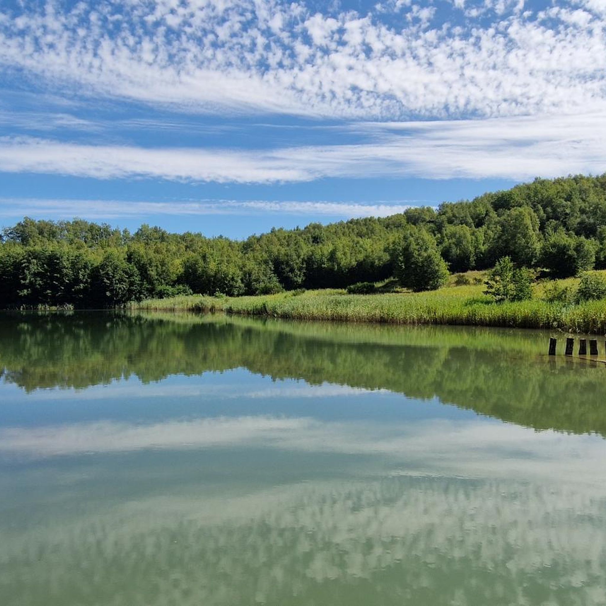
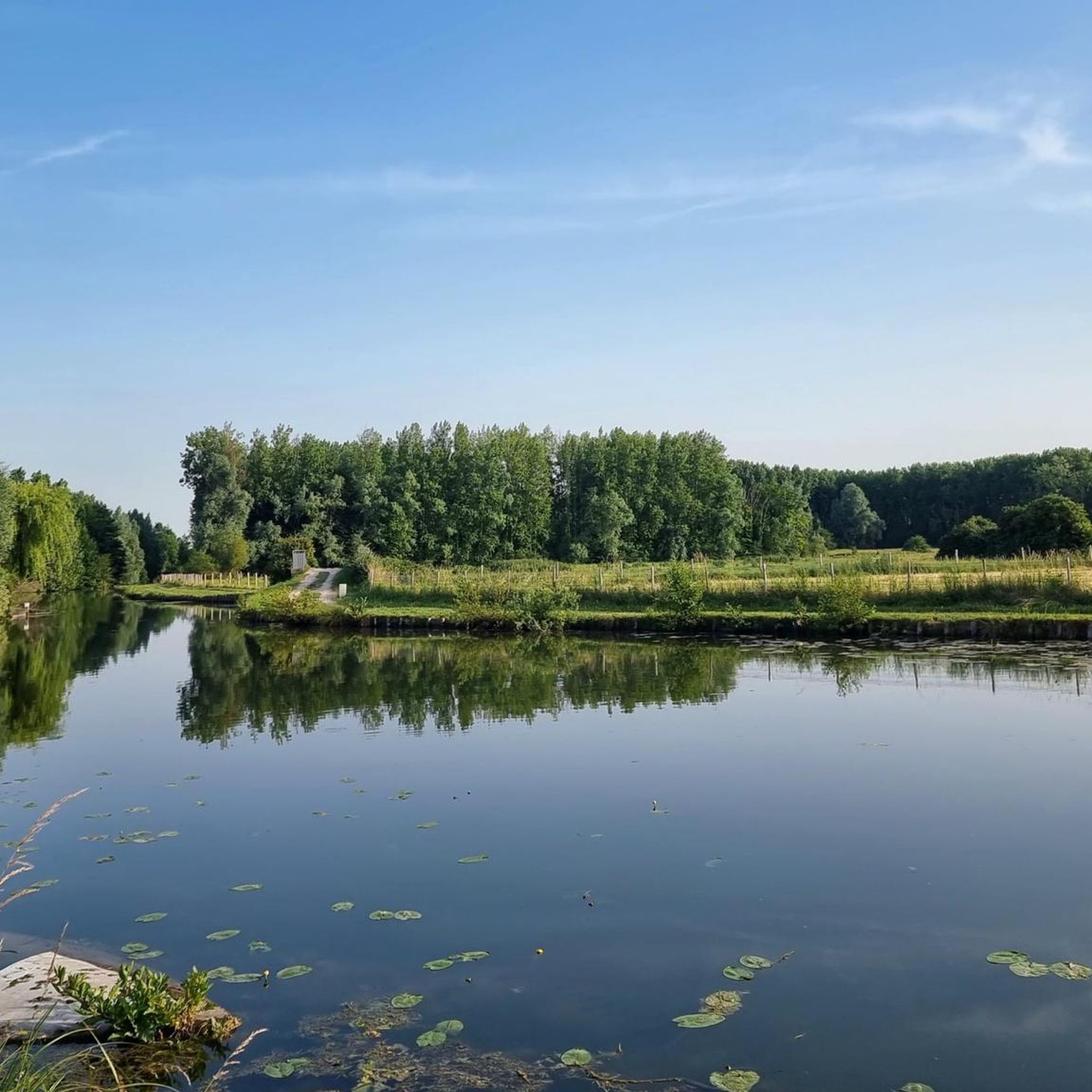
The Réservé Naturelle Nationale des Étangs du Romelaëre is a beautiful nature reserve located in Clairmarais, Saint-Omer and Nieurlet. This reserve, which covers approximately 108 hectares, is a remnant of an old peat cutting from the 19th century. The area consists of ponds, canals, bridges and chain pits, and offers a rich diversity of flora and fauna.
7
0
The étangs du Romelaëre are a beautiful natural area in the Saint-Omer region of France. These ponds are a remnant of old peat cuttings and extend over a vast area. The landscape is characterised by a network of ponds, canals and marshes, making it a paradise for nature lovers and bird watchers.
8
0

A wonderfully quiet area, a beautiful location!
1
0
Frequently Asked Questions
How many hiking trails are available around Saint-Momelin?
There are over 340 hiking routes available around Saint-Momelin, offering a wide variety of options for different skill levels and preferences. These trails traverse the unique landscapes of the Audomarois marsh, including wetlands, canals, and agricultural fields.
Are there easy hiking routes suitable for beginners in Saint-Momelin?
Yes, Saint-Momelin offers many easy hiking routes perfect for beginners or those looking for a relaxed walk. There are over 175 easy trails, such as the short Blue Lake loop from Watten, which is just 1.6 km long. These routes often feature minimal elevation gain and well-maintained paths.
Can I find circular hiking routes around Saint-Momelin?
Yes, the region is well-suited for circular walks. Many trails are designed as loops, allowing you to start and end at the same point. A good example is the Ferry crossing – Chain tray loop from Saint-Momelin, which takes you through the distinctive marshland and along canals.
What kind of landscapes can I expect to see while hiking near Saint-Momelin?
Hiking near Saint-Momelin offers a diverse range of landscapes. You'll encounter the unique Audomarois marsh with its network of canals and humid prairies, alongside Flemish bocage, agricultural fields, and some wooded areas. This variety provides a peaceful backdrop for exploration, showcasing a blend of natural and cultivated environments.
Are there any specific natural attractions or landmarks to look out for on the trails?
Absolutely. While hiking, you can explore several notable natural and historical sites. The Romelaëre Ponds Nature Reserve is a beautiful area of ponds and canals, perfect for nature observation. You might also encounter the historic 15th-century Saint-Momelin Church or the charming ancient Flemish farms and roadside chapels that dot the landscape.
Are the hiking trails around Saint-Momelin suitable for families with children?
Many trails in Saint-Momelin are suitable for families. The region's gentle terrain and numerous easy routes make it ideal for walks with children. The 'Around Saint-Momelin' loop, for instance, is an easily accessible 8 km path that traverses villages, fields, marshes, and woods, offering a comprehensive and engaging experience for all ages.
Are dogs allowed on the hiking trails in Saint-Momelin?
Generally, dogs are welcome on many of the hiking trails around Saint-Momelin, especially on public footpaths and in rural areas. However, it's always advisable to keep them on a leash, particularly when passing through agricultural fields or nature reserves like the Romelaëre Ponds, to protect local wildlife and livestock.
What is the best time of year to go hiking in Saint-Momelin?
The best time to hike in Saint-Momelin is typically during spring (April to June) and early autumn (September to October). During these seasons, the weather is mild, the natural scenery is vibrant, and the trails are generally in good condition. Summer can also be pleasant, but it's wise to start early to avoid the midday heat.
Are there options for longer, more challenging hikes in the region?
While many routes are moderate, the region does offer options for longer excursions. The long-distance GR 128 route passes through the area, providing opportunities for more extensive and challenging hikes. You can also combine several local circuits to create a longer journey, connecting Saint-Momelin to neighboring communes like Tilques or Clairmarais.
Is there parking available near the trailheads in Saint-Momelin?
Yes, parking is generally available in and around Saint-Momelin, particularly in the village center or near popular starting points for trails. Many of the routes, being loops, are designed to be accessible from village parking areas. It's always a good idea to check local signage for specific parking regulations.
What do other hikers enjoy the most about hiking in Saint-Momelin?
The hiking experience in Saint-Momelin is highly rated by the komoot community, with an average score of 4.5 stars from nearly 1000 reviews. Hikers often praise the peaceful atmosphere, the unique marshland scenery, and the well-marked paths that offer a refreshing escape into nature. The diversity of landscapes, from wetlands to agricultural fields, is also frequently highlighted.
Can I reach the hiking areas around Saint-Momelin using public transport?
Saint-Momelin is a rural village, and while public transport options might be limited compared to larger cities, local bus services connect it to nearby towns like Saint-Omer, which has a train station (Saint-Omer station). From Saint-Omer, you may be able to find connections closer to specific trailheads, though a car often offers more flexibility for exploring the wider marshland area.
Most popular routes around Saint-Momelin
Most popular attractions around Saint-Momelin

Get inspired with the komoot mobile app


Explore more
Browse the best Hikes in other regions.
