The best running trails around Rotherens
4.6
(49)
2,516
runners
180
runs
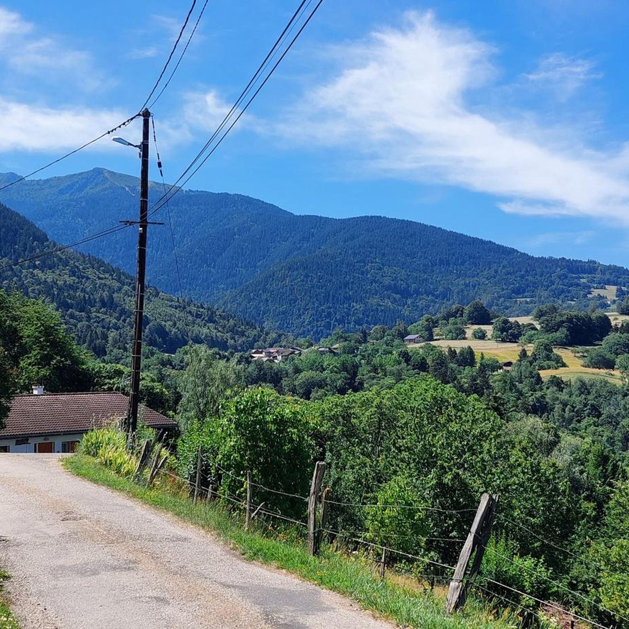
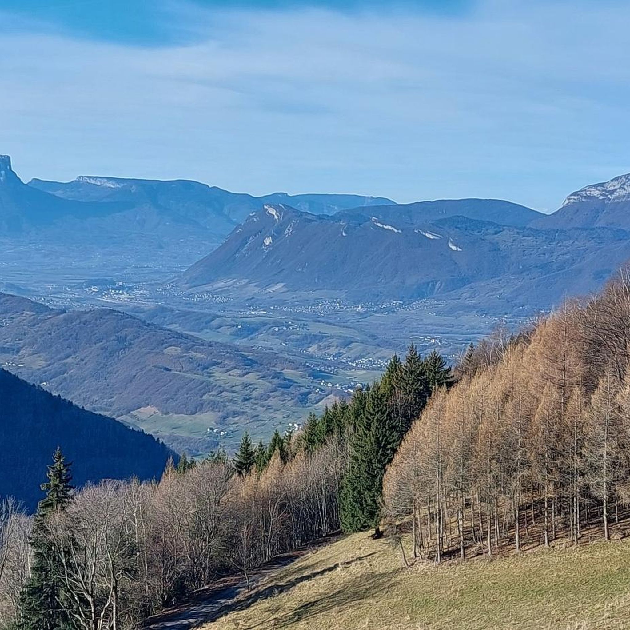
Jogging routes around Rotherens offer diverse terrain within the Savoie department of Auvergne-Rhône-Alpes. The area features an altitude range from 311m to 531m, providing varied landscapes for running. Situated near the Chartreuse Regional Nature Park, the region includes gorges, open mountain pastures, dense forests, and striking white cliffs. This natural setting provides a compelling backdrop for outdoor activities, including running.
Best jogging routes around Rotherens
- The most popular jogging route is Col de Cochette (587 m) – Tours de Montmayeur…
Last updated: July 1, 2026
4.0
(1)
22
runners
Hard run. Very good fitness required. Sure-footedness, sturdy shoes and alpine experience required.
19
runners
Moderate run. Good fitness required. Mostly paved surfaces. Suitable for all skill levels.

Sign up for free
8
runners
7.73km
00:49
70m
70m
Moderate run. Good fitness required. Mostly paved surfaces. Suitable for all skill levels.
4
runners
13.1km
01:23
110m
110m
Moderate run. Good fitness required. Mostly paved surfaces. Suitable for all skill levels.
5
runners
11.3km
01:31
420m
420m
Hard run. Very good fitness required. Sure-footedness, sturdy shoes and alpine experience required.
Get access to more routes and recommendations from other explorers.
Sign up for free
Already have an account?
Our route recommendations are based on thousands of hikes, rides, and runs completed by other people on komoot.
Start today with a free account
Your next adventure awaits.
Login or Signup



Tips from the Community

just magnificent, keep it secret or almost....
0
0

Le Bar des Alpes is a perfect place for a coffee break in La Rochette. At lunchtime, there is a generous menu!
0
0

Lac Saint Clair is a small lake just outside La Rochette. There are plenty of places to have a picnic and enjoy the lake during the summer months.
1
0
The Col de Cochette from La Trinité is 2.99 km long with a total drop of 237 m. The average gradient is 7.9% with maximum gradients of 10%. From Villard-d'Héry, it is 1.89 km with an average gradient of 7.8%. There is a total drop of 148m.
2
0
Frequently Asked Questions
How many running routes are available around Rotherens?
There are over 180 running routes around Rotherens, offering a wide variety of options for all skill levels. The komoot community has explored these trails over 2,800 times.
What kind of terrain can I expect on the jogging routes near Rotherens?
The terrain around Rotherens is quite varied, with altitudes ranging from 311m to 531m. You'll find a mix of hills, forest paths, and routes near the Chartreuse Regional Nature Park, which features gorges, open mountain pastures, and striking white cliffs. This provides a diverse and scenic backdrop for your run.
Are there running routes suitable for beginners or those looking for an easier jog?
Yes, Rotherens offers several easier running options. For example, the Lake Saint Clair – Bar des Alpes loop from La Croix-de-la-Rochette is a moderate 4.2-mile (6.8 km) path with gentle elevation changes, perfect for a relaxed run. There are 12 easy routes and 95 moderate routes in total.
What options are there for experienced runners seeking a challenge?
Experienced runners will find plenty of challenging routes. The Col de Cochette (587 m) – Tours de Montmayeur loop from La Croix-de-la-Rochette is a difficult 10.6-mile (17.1 km) trail with significant elevation gain, offering panoramic views. Another demanding option is the Étang d'Arvillard loop from La Croix-de-la-Rochette, a 23.2 km route with substantial climbing. Overall, there are 75 difficult routes to explore.
What natural features or landmarks can I expect to see on a run near Rotherens?
Many running routes offer scenic views and pass by interesting natural features. You might encounter mountain passes such as Marocaz Pass or Col de Cochette (587 m). The region is also close to the Chartreuse Regional Nature Park, known for its dramatic gorges, open mountain pastures, and dense forests.
Are there circular running routes available?
Yes, many of the running routes around Rotherens are circular, allowing you to start and finish at the same point. Examples include the popular Running loop from La Croix-de-la-Rochette and the Lake Saint Clair – Bar des Alpes loop from La Croix-de-la-Rochette.
Are the running trails around Rotherens dog-friendly?
While specific regulations for dogs on trails can vary, the natural landscapes and extensive network of paths in the Chartreuse Regional Nature Park generally welcome dogs, often requiring them to be on a leash. It's always advisable to check local signage or park guidelines for the specific route you plan to take.
What do other runners enjoy the most about jogging in Rotherens?
The running routes in Rotherens are highly rated by the komoot community, with an average score of 4.5 stars from over 40 reviews. Runners often praise the varied natural landscapes, the proximity to the Chartreuse Regional Nature Park, and the mix of challenging hills and serene forest paths that define the area's running experience.
Are there running routes with convenient parking options?
Many routes around Rotherens start from locations with accessible parking. For instance, several popular loops, such as the Col de Cochette (587 m) – Tours de Montmayeur loop and the Lake Saint Clair – Bar des Alpes loop, begin from La Croix-de-la-Rochette, which typically offers parking facilities.
What is the best season for running in Rotherens?
The Auvergne-Rhône-Alpes region, where Rotherens is located, offers beautiful conditions for running across multiple seasons. Spring and autumn provide pleasant temperatures and vibrant scenery. Summer is also popular, though some higher elevation routes might be warmer. Winter running is possible, especially on lower trails, but conditions can vary with snow and ice, particularly in the nearby Chartreuse mountains.
Can I access running trails around Rotherens using public transport?
Rotherens is a small village, and while it's situated near larger towns like Chambéry, direct public transport access to specific trailheads might be limited. It's recommended to check local bus schedules or consider driving to the starting points of the routes, especially those deeper within the Chartreuse Regional Nature Park, to ensure convenient access.
Most popular attractions around Rotherens

Get inspired with the komoot mobile app


Explore more
Browse the best Running Trails & Routes in other regions.
