The best walks and hikes around Maiweiler
4.5
(103)
592
hikers
72
hikes
Hiking around Maiweiler offers a variety of trails through a landscape characterized by rolling hills and forested areas. The region's topography provides routes with moderate elevation changes, suitable for different hiking preferences. Trails often feature natural paths and rural surroundings.
Best hiking trails around Maiweiler
- The most popular hiking route is Le coq de Dorviller 57 loop from Flétrange, a 6.4 miles (10.3 km) trail that takes 2 hours 46 minutes to complete. This moderate route offers a scenic…
Last updated: July 5, 2026
4.0
(6)
36
hikers
10.3km
02:47
140m
140m
Moderate hike. Good fitness required. Easily-accessible paths. Suitable for all skill levels.
5.0
(3)
7
hikers
8.81km
02:21
100m
100m
Moderate hike. Good fitness required. Easily-accessible paths. Suitable for all skill levels.

Sign up for free
5.0
(1)
6
hikers
13.6km
03:34
100m
100m
Moderate hike. Good fitness required. Easily-accessible paths. Suitable for all skill levels.
6
hikers
7.60km
02:06
130m
130m
Moderate hike. Good fitness required. Easily-accessible paths. Suitable for all skill levels.
4.0
(2)
5
hikers
6.40km
01:42
70m
70m
Easy hike. Great for any fitness level. Easily-accessible paths. Suitable for all skill levels.
Get access to more routes and recommendations from other explorers.
Sign up for free
Already have an account?
Our route recommendations are based on thousands of hikes, rides, and runs completed by other people on komoot.
Start today with a free account
Your next adventure awaits.
Login or Signup



Tips from the Community

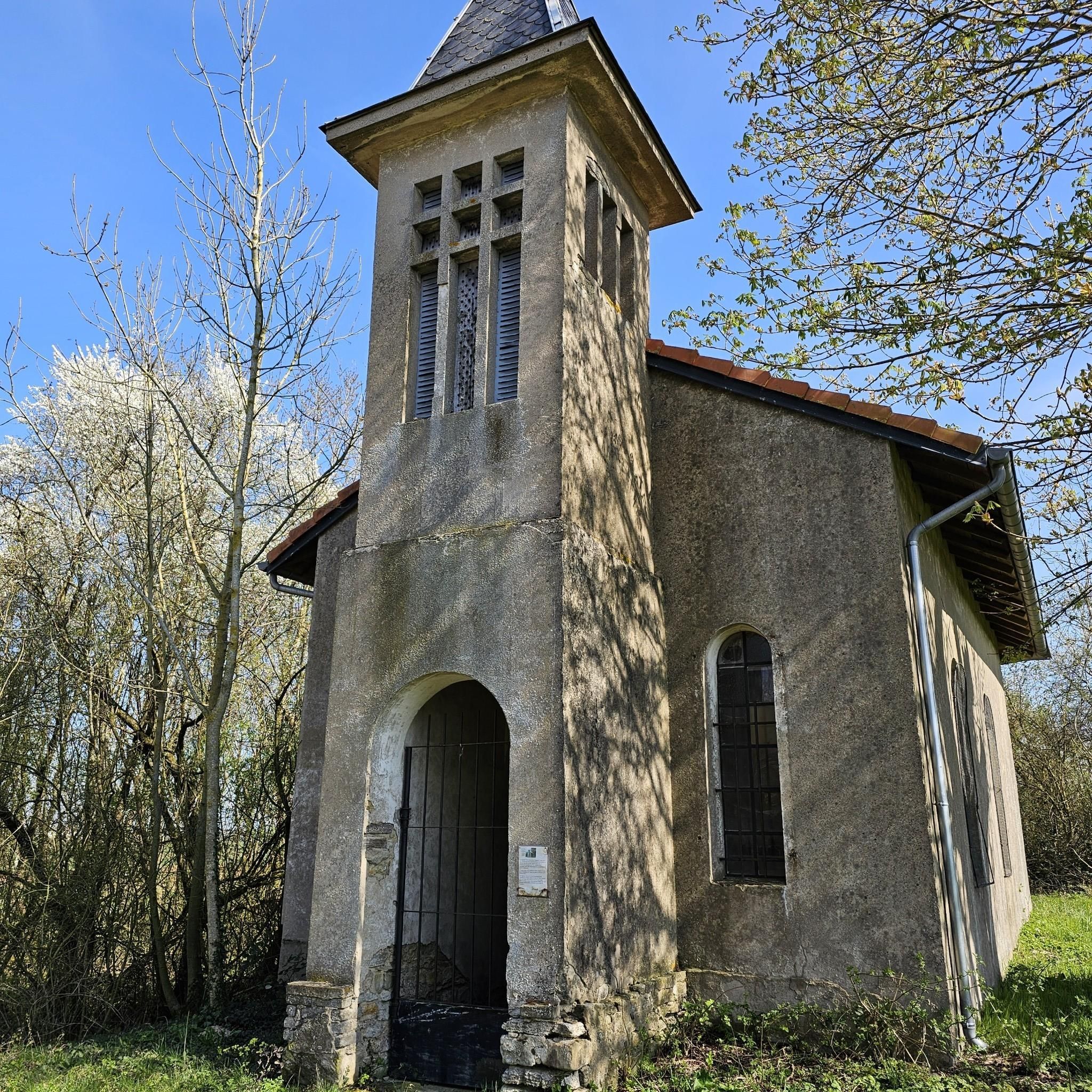
To see, an authentic bell tower
2
0
Frequently Asked Questions
What kind of terrain can I expect on hiking trails around Maiweiler?
Hiking around Maiweiler primarily features rolling hills, forested areas, and open countryside. The trails are often natural paths, providing a varied experience through rural landscapes. You can expect moderate elevation changes, making for engaging walks without extreme climbs.
How many hiking trails are available in the Maiweiler area?
There are over 60 hiking trails recorded around Maiweiler on komoot. This includes a diverse selection of routes, from shorter, easier walks to more moderate excursions through the region's characteristic landscapes.
Are there easy hiking options suitable for beginners or casual walkers?
Yes, Maiweiler offers 29 easy hiking routes. These trails are generally shorter with minimal elevation gain, perfect for a relaxed stroll. An example of an easy route is the Elvange Hiking Trail Map loop from Faulquemont, which covers about 7.1 km.
What do other hikers say about the trails in Maiweiler?
The hiking trails in Maiweiler are highly regarded by the komoot community, holding an average rating of 4.3 out of 5 stars from over 70 reviews. Hikers often praise the peaceful, natural paths and the scenic, rolling landscapes.
Can I find circular hiking routes in Maiweiler?
Yes, many of the trails around Maiweiler are designed as circular routes, allowing you to start and end at the same point. For instance, the Piscine Hill loop from Créhange offers a moderate 7.6 km circular walk.
Are the hiking trails around Maiweiler suitable for families with children?
Given the prevalence of easy and moderate trails with rolling hills and natural paths, many routes in Maiweiler are suitable for families. The varied terrain and forested sections can provide an enjoyable outdoor experience for different age groups. Look for the 'easy' graded routes for the most family-friendly options.
Are dogs allowed on the hiking trails in Maiweiler?
While specific regulations for dogs on Maiweiler trails are not detailed, generally, dogs are welcome on hiking paths in rural German areas, often on a leash. It's always advisable to be mindful of local signage and respect wildlife and other hikers.
What is the typical duration for a moderate hike in this region?
Moderate hikes in Maiweiler vary in length and duration. For example, the Elvange Hiking Trail Map loop from Elvange is a moderate 8.8 km trail that typically takes around 2 hours and 21 minutes to complete. Longer moderate routes, like the Elvange Hiking Trail Map loop from Hémilly (13.6 km), can take closer to 3 hours and 34 minutes.
Are there any particularly long or challenging hikes in Maiweiler?
While most trails are easy to moderate, there is one difficult route available. The region's topography generally lends itself to more accessible hiking, characterized by rolling hills rather than steep, mountainous ascents. For a longer moderate option, consider the Elvange Hiking Trail Map loop from Hémilly at 13.6 km.
Is there parking available near the trailheads in Maiweiler?
While specific parking information for every trailhead is not provided, hiking areas in rural regions like Maiweiler typically offer designated parking spots or roadside parking near popular starting points. It is recommended to check the specific route details on komoot for more precise parking suggestions before your hike.
What is the best time of year to go hiking in Maiweiler?
Given the region's characteristics of forests and rolling hills, hiking in Maiweiler is enjoyable across multiple seasons. Spring and autumn offer pleasant temperatures and vibrant natural colors, while summer provides longer daylight hours. Winter hikes can also be beautiful, though conditions may vary.
Most popular routes around Maiweiler

Get inspired with the komoot mobile app


Explore more
Browse the best Hikes in other regions.
