The best walks and hikes around Lagraulière
4.4
(116)
789
hikers
43
hikes
Hiking around Lagraulière offers access to the varied landscapes of the Corrèze region, characterized by its dense forests, rolling hills, and tranquil waterways. The area features a network of trails that traverse woodlands and open countryside, providing opportunities to explore the natural environment. Elevation changes are generally moderate, making many routes accessible for different fitness levels.
Best hiking trails around Lagraulière
- The most popular hiking route is Lovers of the Blanchefort forest, a 5.8 miles (9.4 km) trail that…
Last updated: July 16, 2026
4.7
(3)
29
hikers
9.41km
02:33
130m
130m
Moderate hike. Good fitness required. Easily-accessible paths. Suitable for all skill levels.
4.7
(3)
26
hikers
4.18km
01:11
90m
90m
Easy hike. Great for any fitness level. Easily-accessible paths. Suitable for all skill levels.

Sign up for free
3.3
(4)
10
hikers
13.9km
03:51
250m
250m
Moderate hike. Good fitness required. Easily-accessible paths. Suitable for all skill levels.
5.0
(4)
7
hikers
10.7km
02:54
160m
160m
Moderate hike. Good fitness required. Easily-accessible paths. Suitable for all skill levels.
5.0
(1)
7
hikers
4.81km
01:18
60m
60m
Easy hike. Great for any fitness level. Easily-accessible paths. Suitable for all skill levels.
Get access to more routes and recommendations from other explorers.
Sign up for free
Already have an account?
Our route recommendations are based on thousands of hikes, rides, and runs completed by other people on komoot.
Start today with a free account
Your next adventure awaits.
Login or Signup



Other adventures around Lagraulière

Tips from the Community

The beautiful Corrèze town of Uzerche is majestically situated on a rock formation above a tributary of the Vézère. Uzerche, an invincible fortified town, used to be on the border between Upper and Lower Limousin, and played an important role in the Carolingian period and the Middle Ages due to its strategic location and impressive fortresses. At the time it was called "Uzerche the virgin", she who had never been taken. The medieval town is also called the Pearl of Limousin thanks to its rich, remarkable architectural ensemble. Stroll along the old buildings, the stately towers and the atmospheric vaulted passages. The walk takes you past the Bécharie castle, a defence system from the 15th century, rebuilt in the 16th and 17th centuries, on the inventory of historical monuments, definitely recommended to visit
1
0

This beautiful trail along the edge of the woods offers many windows onto the Limousin region. You'll discover vineyards, rolling landscapes, and the slopes of Puy Chammard. This bucolic path is particularly pleasant in summer.
1
1
Nicknamed the "Pearl of Limousin," Azerche is a fortified town overlooking a bend in the Vézère River. The village's silhouette is particularly recognizable with its many towers pointing toward the sky.
1
0
This small village in Bas-Limousin lies peacefully in the heart of the Corrèze countryside. Its natural setting, with the Blanchefort Forest and the Puy d'Arial to the east and the Brézou Marsh to the south, makes it a charming starting point for hiking. But before that, stop by the Romanesque church of Saint-Marcel, with its bas-reliefs and 17th-century altarpiece.
1
0
The mysterious Blanchefort Forest is home to numerous legends, including the myth of the Hermit's Fountain, which is said to have miraculous properties. You can also explore this exceptional natural site by following the 4.5-kilometer interpretive trail.
1
0

Beautiful old city gate. The 12th and 13th century was the time when the troubadours Gaucelm Faidit and Uc la Bachellerie made waves in Uzerche. In the 13th and 14th centuries, Uzerche's position was again reflected in the arrival of influential figures, Louis IX of France in 1244 and 1256, Philip III of France in 1285, Pope Clement V in 1306 and Charles IV of France in 1324. The plague wreaked havoc in Uzerche between 1346 and 1348. In Uzerche there are still many people who hang a nut twig on the front door on June 24. This is an old tradition to thank Saint John for protecting it from the plague. In the 14th century, the inhabitants of Uzerche repulsed several attacks and in 1374, after repulsing an English attack, they were allowed to add three royal lilies to their coat of arms. In the same century, new fortresses were built and the city of Uzerche received nine gates that provided access to the city. Of these gates, only the Porte Bécharie remains.
1
0
The most beautiful perspective on Uzerche. Also parking space.
1
0

Frequently Asked Questions
How many hiking trails are available around Lagraulière?
There are over 45 hiking trails around Lagraulière, offering a wide range of options for different skill levels and preferences. This includes 21 easy routes, 24 moderate routes, and 1 difficult route.
What is the best time of year for hiking in Lagraulière?
The Corrèze region, including Lagraulière, is beautiful for hiking from spring through autumn. Spring brings lush greenery and wildflowers, while autumn offers vibrant foliage. Summer is also pleasant, especially in the shaded forest areas. Winter hiking is possible, but some trails might be muddy or require appropriate gear.
What do other hikers say about the trails in Lagraulière?
The trails in Lagraulière are highly rated by the komoot community, with an average score of 4.5 stars from over 100 reviews. Hikers often praise the quiet woodlands, well-marked paths, and the varied terrain that offers both gentle strolls and more challenging routes.
Are there easy hiking trails suitable for beginners in Lagraulière?
Yes, Lagraulière offers a good selection of easy hiking trails perfect for beginners. For example, the Blanchefort Forest loop from Puy d'Arial is an easy 2.6-mile (4.2 km) path that provides lovely views and a gentle introduction to the area's natural beauty.
Are there family-friendly hiking options in Lagraulière?
Absolutely. Many of the easy and moderate routes around Lagraulière are suitable for families. The region's gentle hills and dense woodlands provide safe and engaging environments for children to explore. Look for shorter, well-maintained loop trails for the best family experience.
Are the hiking trails around Lagraulière suitable for dogs?
Most hiking trails in the Lagraulière area are dog-friendly, especially those through forests and open countryside. It's always recommended to keep dogs on a leash, particularly near livestock or in protected natural areas, and to carry water for them. Always check local signage for specific restrictions.
Are there circular hiking routes in Lagraulière?
Yes, many of the trails around Lagraulière are designed as circular routes, allowing you to start and end at the same point without retracing your steps. A popular option is the Lagraulière loop from Lagraulière, which is a moderate 6.4-mile (10.4 km) trail.
Is parking available at the trailheads in Lagraulière?
Yes, parking is generally available at or near the starting points of many popular hiking trails in Lagraulière and the surrounding villages. Specific parking information can often be found on individual route descriptions on komoot.
What kind of scenery can I expect on hikes around Lagraulière?
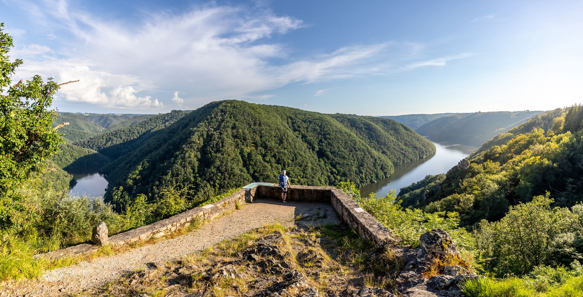
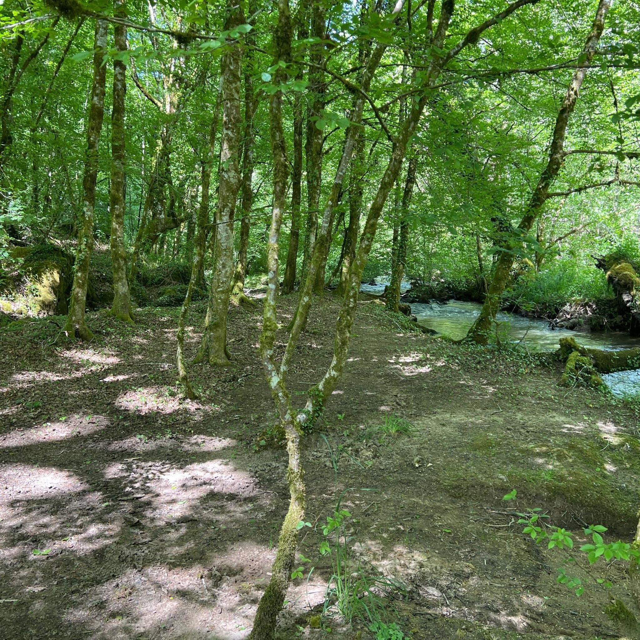
Hiking around Lagraulière offers diverse scenery, primarily characterized by dense forests, rolling hills, and tranquil waterways. You'll encounter lush woodlands, open fields, and charming rural landscapes typical of the Corrèze region. Many routes also feature scenic viewpoints.
Are there any scenic viewpoints along the trails in Lagraulière?
Yes, several trails offer scenic viewpoints. For instance, the Porte Bécharie – View of Uzerche loop from Espartignac provides excellent vistas, including the View of Uzerche, allowing you to appreciate the landscape from above.
What interesting places or landmarks can I explore near the hiking routes?
Along and near the hiking routes, you can discover several interesting landmarks. The Porte Bécharie is a notable historical monument. You might also encounter the Uzerche and Vézère River Viaduct or the charming Saint-Jal village square and church, offering glimpses into the local heritage.
How long do hikes around Lagraulière typically take?
Hikes around Lagraulière vary in length and duration. Easy routes, like the Blanchefort Forest loop from Puy d'Arial, can take around 1.5 to 2 hours. Moderate trails, such as Lovers of the Blanchefort forest, typically range from 2.5 to 3 hours, while longer routes can extend to 4 hours or more.
Most popular attractions around Lagraulière

Get inspired with the komoot mobile app


Explore more
Browse the best Hikes in other regions.
