The best walks and hikes around Herrchweiler
4.4
(1331)
5,868
hikers
320
hikes
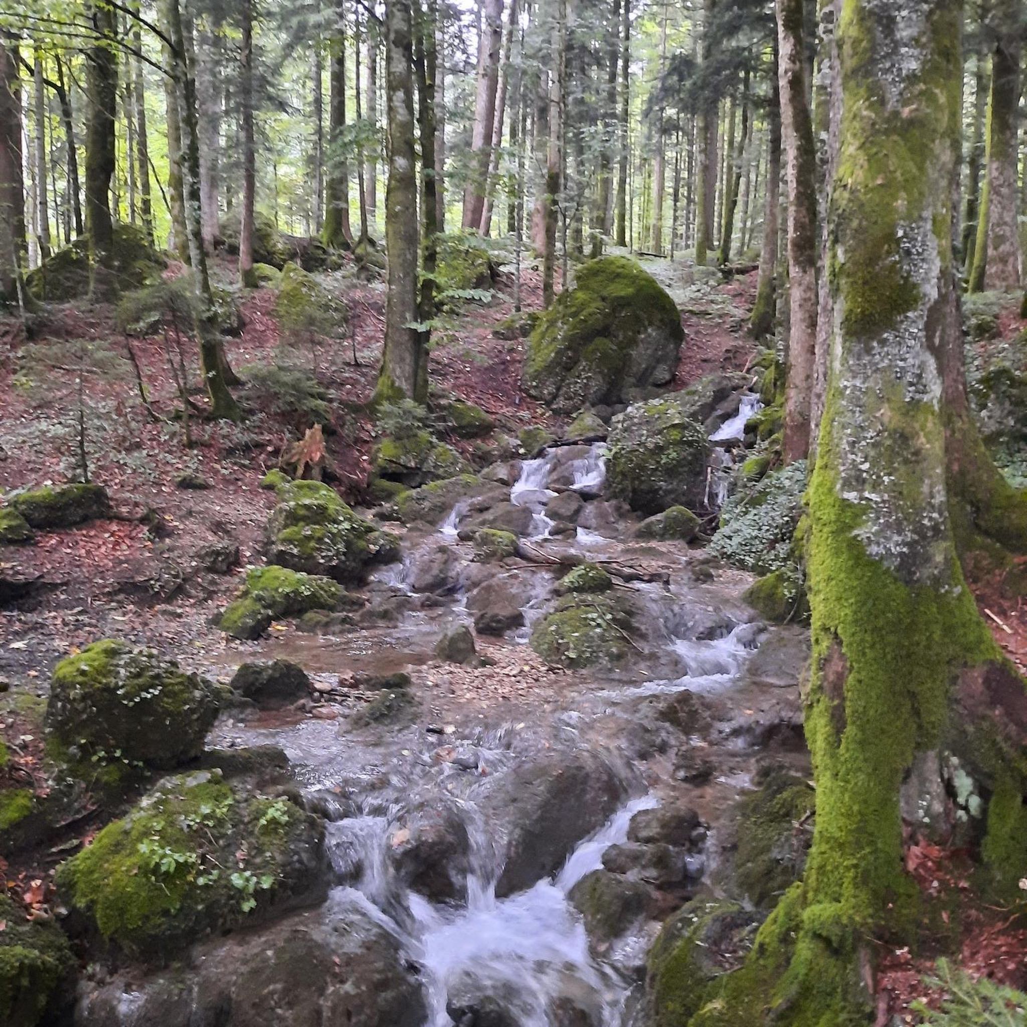
Hiking around Herrchweiler offers diverse landscapes, characterized by rolling hills, dense forests, and clear streams at the foot of the Palatinate Forest. The region features an intricately compartmentalized relief with a constant alternation of hilly mountains, ridges, and valleys. This natural setting provides varied terrain for hikers of all experience levels. The area is known for its well-developed network of hiking routes.
Best hiking trails around Herrchweiler
- The most popular hiking route is Lower Hoste Pond – Farschviller Pond loop…
Last updated: July 5, 2026
4.3
(3)
13
hikers
9.55km
02:32
100m
100m
Moderate hike. Good fitness required. Easily-accessible paths. Suitable for all skill levels.
5.0
(2)
9
hikers
9.62km
02:40
170m
170m
Moderate hike. Good fitness required. Easily-accessible paths. Suitable for all skill levels.

Sign up for free
3.0
(3)
13
hikers
15.8km
04:21
270m
270m
Moderate hike. Good fitness required. Easily-accessible paths. Suitable for all skill levels.
5.0
(2)
11
hikers
9.60km
02:31
70m
70m
Moderate hike. Good fitness required. Easily-accessible paths. Suitable for all skill levels.
7
hikers
9.11km
02:24
80m
80m
Moderate hike. Good fitness required. Easily-accessible paths. Suitable for all skill levels.
Get access to more routes and recommendations from other explorers.
Sign up for free
Already have an account?
Our route recommendations are based on thousands of hikes, rides, and runs completed by other people on komoot.
Start today with a free account
Your next adventure awaits.
Login or Signup
Tips from the Community

On November 28, 1944, the Americans liberated Hombourg-Haut. The 319th Infantry Division of General George Patton's Third Army was the only one to intervene in this town. Twelve headstones recount the days leading up to the arrival of American troops.
0
0
This memorial was erected in memory of the 17,000 dead from Alsace and Moselle, forcibly incorporated into the Wehrmacht or other German military formations by the occupier during the annexation of our eastern provinces to the Third Reich from 1940 to 1945, abandoned by the Vichy government, in defiance of all legality. These victims were young men and women born between 1906 and 1928, mobilized from October 16, 1942, to January 12, 1945, under threat of family deportation in the event of desertion. Consumed in the Red Army in 1943, as "escapees" or as "unwilling" Wehrmacht prisoners of war, they were dragged from camp to camp, immediately converted into "underfed forced laborers." A large number of them were gathered very early on at the sinister Tambow camp, known as the "French camp" due to the size of the French Community at certain times. Tyranny, malnutrition, arbitrary punishments, excessive workload, deteriorating collective morale, epidemics, the harsh climate, inadequate clothing, overcrowding, and poor hygiene—all these factors quickly took their toll on the captive population. The loss of life at the Tambow camp is estimated at approximately 50 to 60 percent. Between 1944 and 1945, 68,000 prisoners of war of all nationalities passed through, among whom the "French contingent" was the most exploited. Few endured this regime of psychological persecution, meager rations, and forced labor for which they were ill-suited. Almost all survivors reported incurable after-effects. Six Lazarets and two rudimentary "Hospitals," antechambers of death, delivered their cargo of corpses every night, early in the morning, then dumped pell-mell into the mass graves dug by their comrades in the forest around the camp. This memorial is intended to be a place of contemplation and reflection in tribute to the dead who perished needlessly, sacrificing their young lives without reproach, knowing that their remains would never be repatriated. Most were delivered to the inhospitable Russian land, in complete anonymity. Thousands of families thus lost all trace of their sons, their husbands, their fathers who died neither for Germany nor for Russia, but in the fervent expectation and hope of returning to France, their homeland." The survivors of these Russian camps, originally from Alsace and Moselle, have devoutly preserved the memory of these dark hours and of their abandoned comrades, whom they consider "Martyrs." Don't forget them!
0
0
Parish church of Saint-Jacques-le-Majeur, the choir of the church would occupy the choir of an older church built in 1717 in place of a chapel dedicated to Saint James and already mentioned before the Thirty Years' War. This church was served in 1720 by a resident vicar. The current church dates from the early 18th century, built in 1730, enlarged in 1826 and 1870; neo-baroque style bell tower built from 1870 to 1873 according to the plans of the architect Schatz of Sarreguemines. The church of Seingbouse, formerly attached to the parish of Béning-lès-Saint-Avold, was erected as a parish in 1802 following the Concordat of 1801. It was restored and decorated under the direction of Abbot Victor Pétry (1846-1927) from 1887 to 1908. The church is a stop on the Way of Saint James. At the foot of the stairs leading to the church, on the left, is the sculpture of a scallop shell (Pecten maximus).
0
0

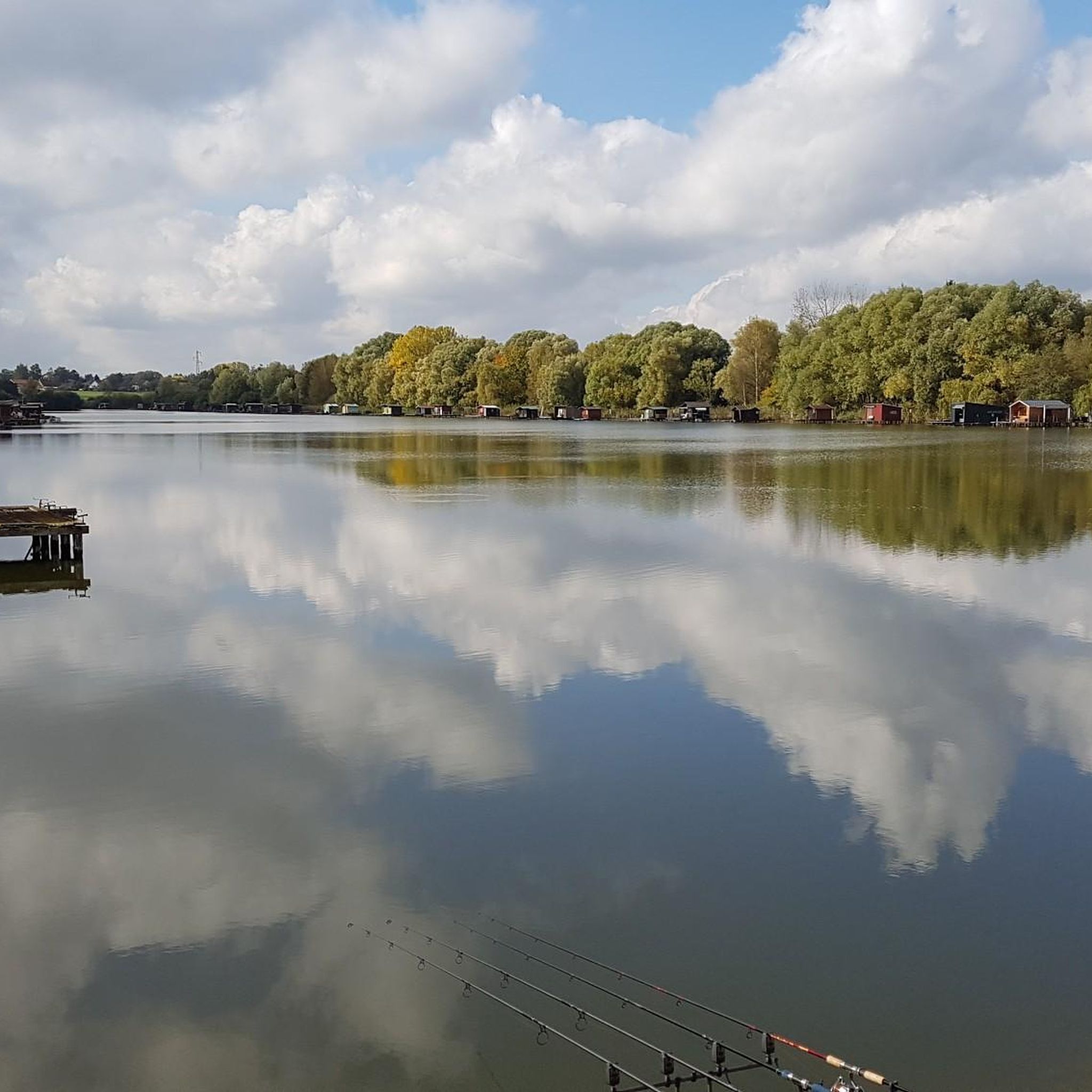
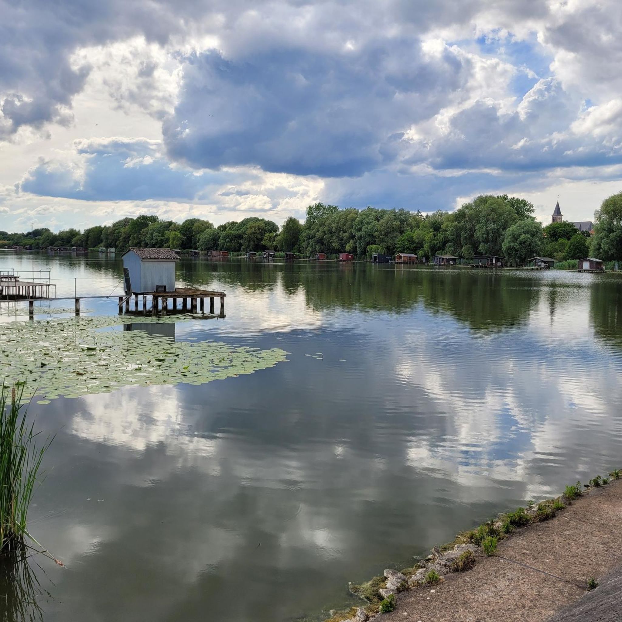
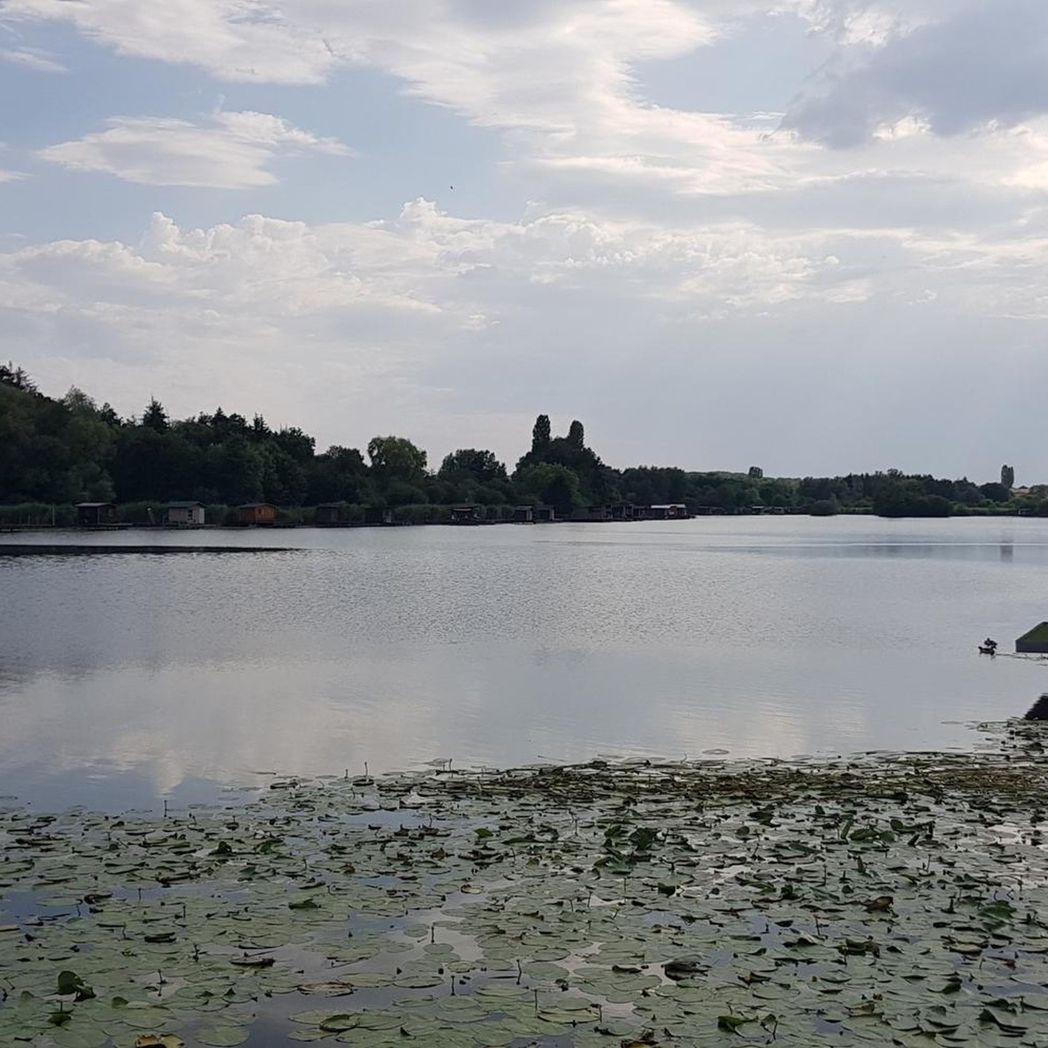
The Hoste Bas pond borders the Hoste Haut pond. It was part of the Maginot Line defense system. Today, they are home to numerous species of fish, much to the delight of anglers.
0
1

A pleasant setting for a stroll between the water and the forest. The lake is a kilometer and a half long.
0
0


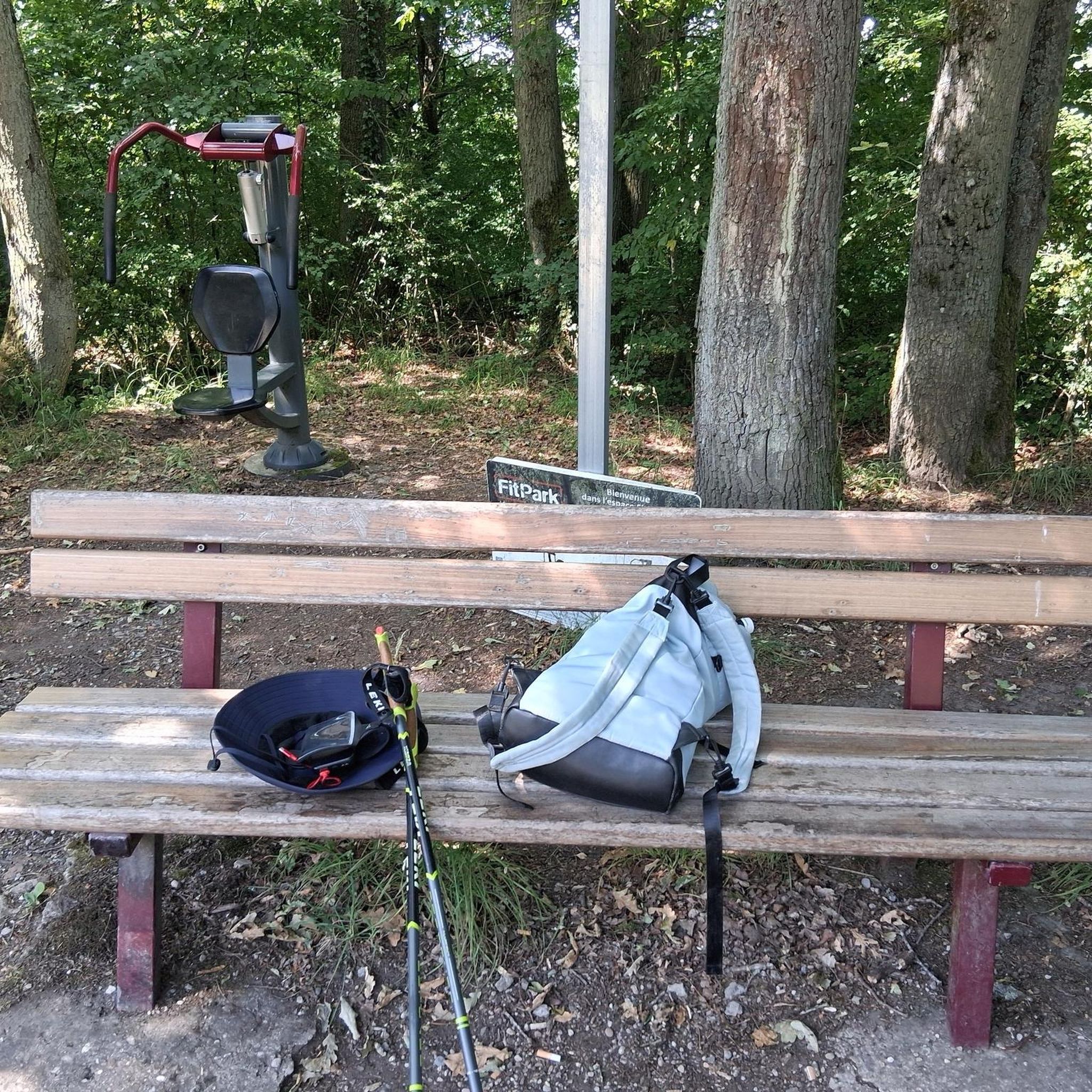
Nice place to let off steam with a view of the lake
0
0
Frequently Asked Questions
Are there easy hiking trails suitable for beginners in Herschweiler-Pettersheim?
Yes, Herschweiler-Pettersheim offers a variety of trails suitable for all experience levels. There are over 130 easy routes available, perfect for beginners or those looking for a relaxed stroll. These trails often traverse rolling hills, meadows, and forests, providing a gentle introduction to the region's natural beauty.
What is the typical length and duration of hikes around Herschweiler-Pettersheim?
Hikes in Herschweiler-Pettersheim vary significantly in length and duration. You can find shorter walks, like the enchanting Zauberweg (Magic Path) which is ideal for families, or longer routes. For example, the Hiking loop from Seingbouse is about 6.6 miles (10.6 km) and takes around 2 hours 50 minutes, while the 1944 Memorial loop from Seingbouse is longer at 9.4 miles (15.1 km) and typically takes over 4 hours.
Are there any circular hiking trails in Herschweiler-Pettersheim?
Yes, the region is known for its network of designated circular hiking trails. The "Herschweiler Runde" is a premium example, offering a varied landscape of fields, meadows, and forest passages. Many of the routes available on komoot are also loops, such as the Bank – Bunker loop from Henriville, which is a moderate 6-mile (9.6 km) trail.
What kind of natural attractions can I expect to see on hikes in Herschweiler-Pettersheim?
The area is rich in natural beauty, characterized by dense forests, clear streams, and picturesque valleys like the Ohmbach Valley. Hikers can also discover impressive geological formations such as the Barrois Quarry, or enjoy serene spots like the Lower Hoste Pond. The region's location at the foot of the Palatinate Forest also means opportunities to observe diverse flora and fauna.
Are there any viewpoints or panoramic vistas along the hiking trails?
Absolutely. The region's rolling hills and ridges offer numerous opportunities for stunning views. The Panoramic Platform at Barrois Quarry provides excellent vistas. Additionally, trails like the Geisbergsteig (HP5) offer panoramic views of the Sickinger Höhe, and the Hartloch Forest ridge trail provides views of Herschweiler-Pettersheim and the Ohmbach Valley, extending towards Saarland.
What historical or cultural sights can be found along the hiking routes?
Beyond natural beauty, some trails in Herschweiler-Pettersheim lead to historical points of interest. You might encounter an old, disused quarry or the Roman excavation "Villa Rustica" on a hike in the east of the village. The Hochwald Route (HP4) also passes the old castle in Pettersheim, offering a glimpse into the area's past.
Is Herschweiler-Pettersheim a good destination for family-friendly hikes?
Yes, Herschweiler-Pettersheim is very suitable for families. The Zauberweg (Magic Path) is specifically designed for children, offering an enchanting and playful way to explore nature. Many of the easy and moderate trails are also well-suited for families looking to enjoy the outdoors together.
What is the best time of year to go hiking in Herschweiler-Pettersheim?
Spring and autumn are particularly recommended for hiking in Herschweiler-Pettersheim. In spring, wildflowers bloom, and the forests come alive with fresh greenery. Autumn offers vibrant displays of color as the leaves change. Both seasons provide pleasant temperatures, making for comfortable hiking conditions.
Are there any places to eat or refresh near the hiking trails?
Yes, the region offers some spots for refreshments. The Langenbach Gliding Airfield area, which provides beautiful views, also hosts the "Fliegerklause." Additionally, the Reismühle Kaffeemanufaktur serves as a starting point for several hikes and is an attraction in itself, likely offering refreshments.
What do other hikers enjoy most about hiking in Herschweiler-Pettersheim?
The area is highly rated by the komoot community, with an average score of 4.4 stars from over 1100 reviews. Reviewers often praise the diverse landscapes, the constant alternation of hilly mountains, ridges, and valleys, and the well-developed network of trails that cater to all skill levels. The tranquility of the dense forests and clear streams is also frequently highlighted.
How many hiking trails are available around Herschweiler-Pettersheim?
There are over 300 hiking routes available around Herschweiler-Pettersheim. This extensive network includes a wide range of options, from easy strolls through meadows to more challenging ascents through the Palatinate Forest, ensuring there's a trail for every preference and fitness level.
Most popular routes around Herrchweiler
Most popular attractions around Herrchweiler

Get inspired with the komoot mobile app


Explore more
Browse the best Hikes in other regions.
