The best walks and hikes around Ladapeyre
4.2
(36)
98
hikers
29
hikes
Hiking around Ladapeyre offers exploration of a tranquil, unspoiled natural environment within the Creuse department of central France. The region is situated in the northwestern Massif Central, characterized by an elevated landscape with its highest point reaching 528 meters. Hikers can expect varied terrain, including rolling hills, woodlands, and open fields, often featuring picturesque water bodies like the Étang de Fragne. This blend of agricultural and forested areas provides diverse scenery for outdoor activities.
Best hiking trails around Ladapeyre
- The…
Last updated: July 1, 2026
3.8
(6)
13
hikers
7.47km
02:00
90m
90m
Moderate hike. Good fitness required. Easily-accessible paths. Suitable for all skill levels.
4.5
(2)
5
hikers
10.3km
02:46
130m
130m
Moderate hike. Good fitness required. Easily-accessible paths. Suitable for all skill levels.

Sign up for free
5.0
(2)
4
hikers
16.2km
04:30
300m
310m
Moderate hike. Good fitness required. Easily-accessible paths. Suitable for all skill levels.
5.0
(1)
3
hikers
4.63km
01:17
80m
80m
Easy hike. Great for any fitness level. Easily-accessible paths. Suitable for all skill levels.
4.5
(2)
4
hikers
12.2km
03:22
210m
210m
Moderate hike. Good fitness required. Easily-accessible paths. Suitable for all skill levels.
Get access to more routes and recommendations from other explorers.
Sign up for free
Already have an account?
Our route recommendations are based on thousands of hikes, rides, and runs completed by other people on komoot.
Start today with a free account
Your next adventure awaits.
Login or Signup



Tips from the Community

Beautiful architecture in the town and adopted commune of actress Anny Duperey.
0
0


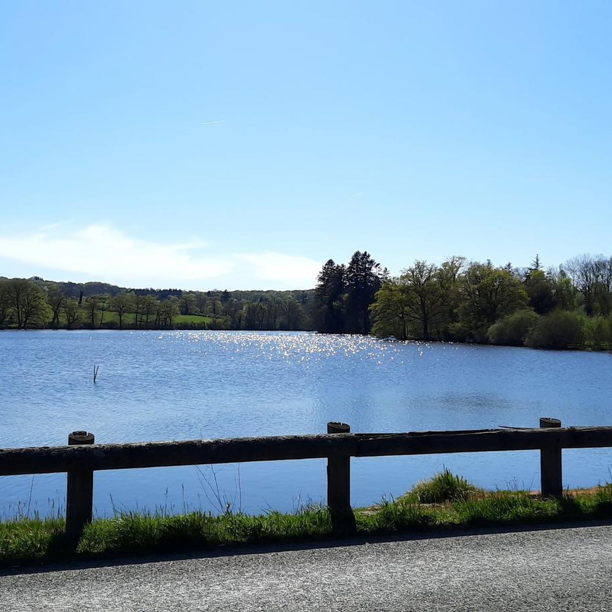
Châtelus-Malvaleix is a small town in the Creuse which is home to several remarkable houses, fountains and wash houses. The Roussille lake offers a supervised beach in summer, a campsite and gîtes to enjoy the summer activities around the lake.
4
0
Frequently Asked Questions
How many hiking trails are available around Ladapeyre?
There are over 20 hiking routes available around Ladapeyre, offering a range of options for different preferences and skill levels. These include 8 easy routes and 16 moderate routes, ensuring there's something for everyone to explore.
What kind of terrain can I expect on hikes in Ladapeyre?
Hiking around Ladapeyre offers a varied landscape, characterized by rolling hills, extensive woodlands, and open fields. You'll also encounter picturesque water bodies, such as the Étang de Fragne, which add to the scenic beauty. The region is situated in the northwestern Massif Central, with elevations reaching up to 528 meters, providing diverse terrain.
Are there any easy circular walks suitable for families?
Yes, Ladapeyre offers several easy circular walks. A good option is the Le Pied de Bord loop from Monts de Toulx-Sainte-Croix, which is 4.6 km long and generally takes about 1 hour 15 minutes to complete. This trail leads through varied terrain near the scenic mounts.
What natural features or landmarks can I see while hiking in Ladapeyre?
While hiking in Ladapeyre, you can discover several natural and historical landmarks. The Monts de Toulx-Sainte-Croix offer panoramic views, and the tranquil Étang de Fragne provides picturesque scenery. You might also encounter historical sites such as prehistoric vestiges, Gallo-Roman remains, and the 13th-century Saint-Sulpice church, or even the 15th-century châtelet d'entrée of the Château de la Dauge.
Are there any dog-friendly hiking trails in the Ladapeyre area?
Many trails in the Ladapeyre region are suitable for hiking with dogs, given the natural and rural environment. It's always recommended to keep your dog on a leash, especially when passing through agricultural areas or near wildlife habitats. The varied terrain of woodlands and open fields provides ample space for enjoyable walks with your canine companion.
What do other hikers enjoy most about hiking in Ladapeyre?
The hiking experience in Ladapeyre is highly rated by the komoot community, with an average score of 4.0 stars from over 30 reviews. Hikers often praise the tranquil, unspoiled natural environment, the varied elevations, and the picturesque ponds. The blend of agricultural and forested terrains also contributes to a diverse and engaging outdoor adventure.
Are there any trails that go around a lake or pond?
Yes, you can enjoy trails that loop around water bodies. A popular choice is the Étang de la Roussille Loop, a 7.5 km trail that offers pleasant views around the pond and takes approximately 2 hours to complete. The larger Étang de Fragne also contributes to the region's picturesque scenery.
What is the best time of year to go hiking in Ladapeyre?
Ladapeyre is appealing for outdoor activities throughout much of the year. Spring and autumn offer pleasant temperatures and vibrant natural colors, making them ideal for hiking. Summer is also suitable, though it can be warmer. The region's blend of woodlands and open fields provides diverse conditions depending on the season.
Are there any longer, more challenging routes for experienced hikers?
While Ladapeyre primarily features easy to moderate trails, some longer routes offer more of a challenge. For instance, The beach loop from Châtelus-Malvaleix is a moderate 16.1 km path, winding through the local countryside and along water features, requiring a good level of fitness.
Where can I find parking for trailheads in Ladapeyre?
Given Ladapeyre's rural nature and the presence of several smaller hamlets, parking is generally available near village centers or designated starting points for popular trails. It's advisable to check specific route details on komoot for information on parking facilities close to your chosen trailhead.
Can I reach hiking trails in Ladapeyre using public transport?
Public transport options directly to specific trailheads in Ladapeyre may be limited due to the commune's rural setting. It is generally recommended to use a car to access the various starting points for hikes. However, you can check local bus services for connections to the main village of Ladapeyre or nearby towns like Châtelus-Malvaleix, and then plan your hike from there.
Most popular attractions around Ladapeyre

Get inspired with the komoot mobile app


Explore more
Browse the best Hikes in other regions.
