The best walks and hikes around Aubière
4.5
(1838)
14,665
hikers
700
hikes
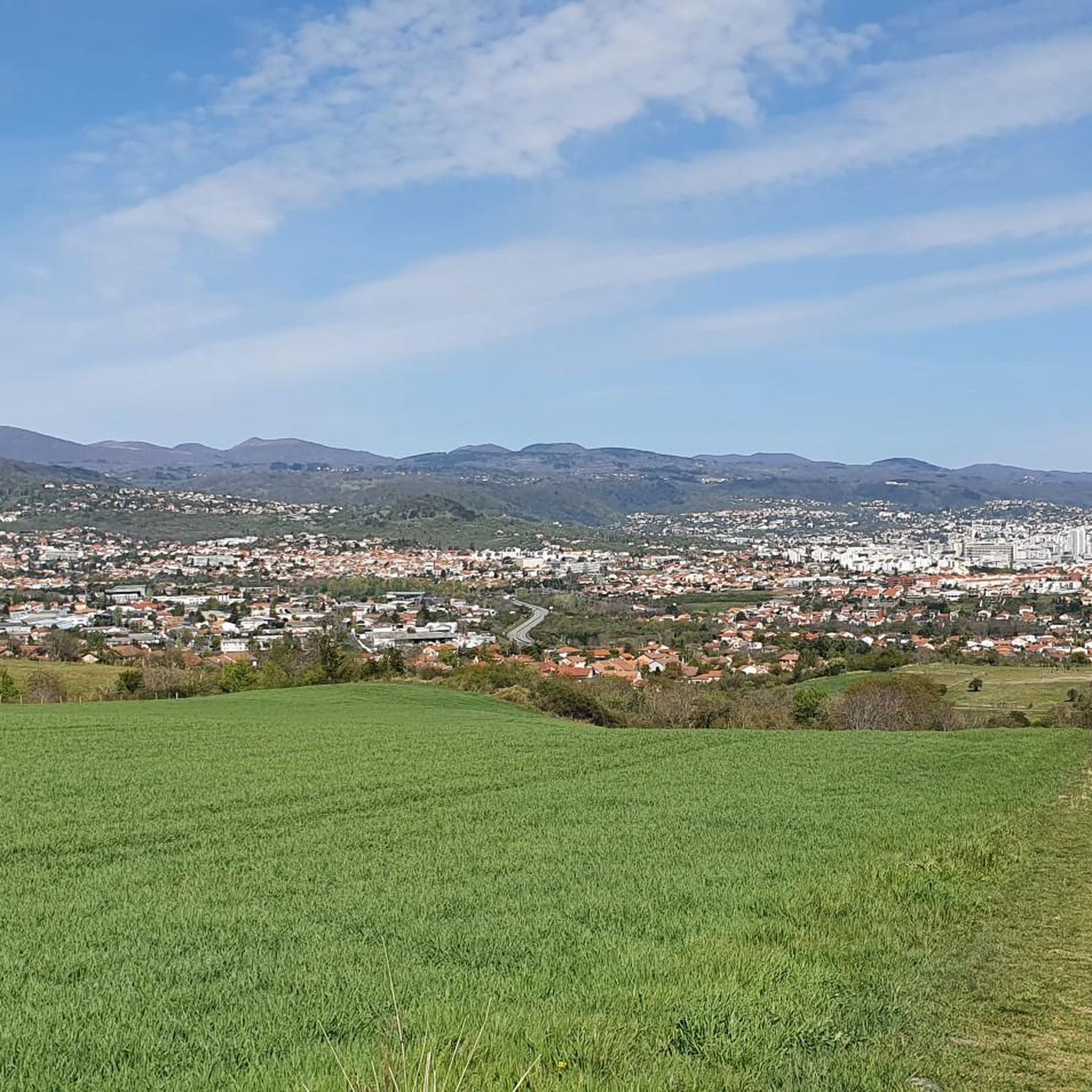
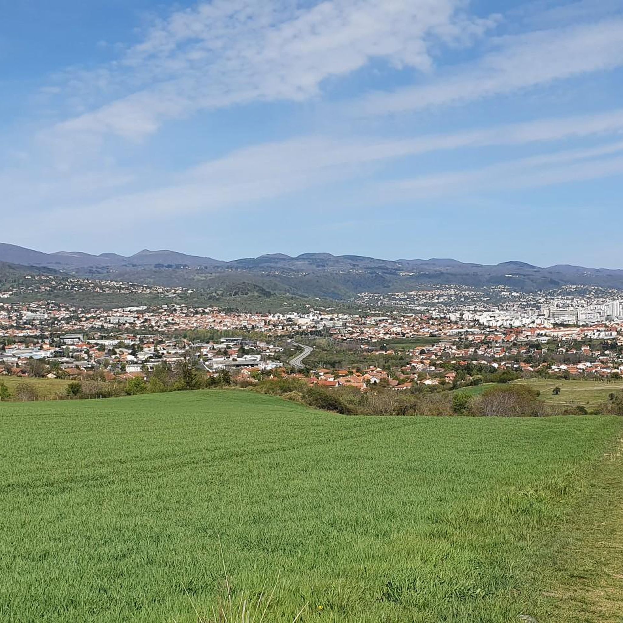
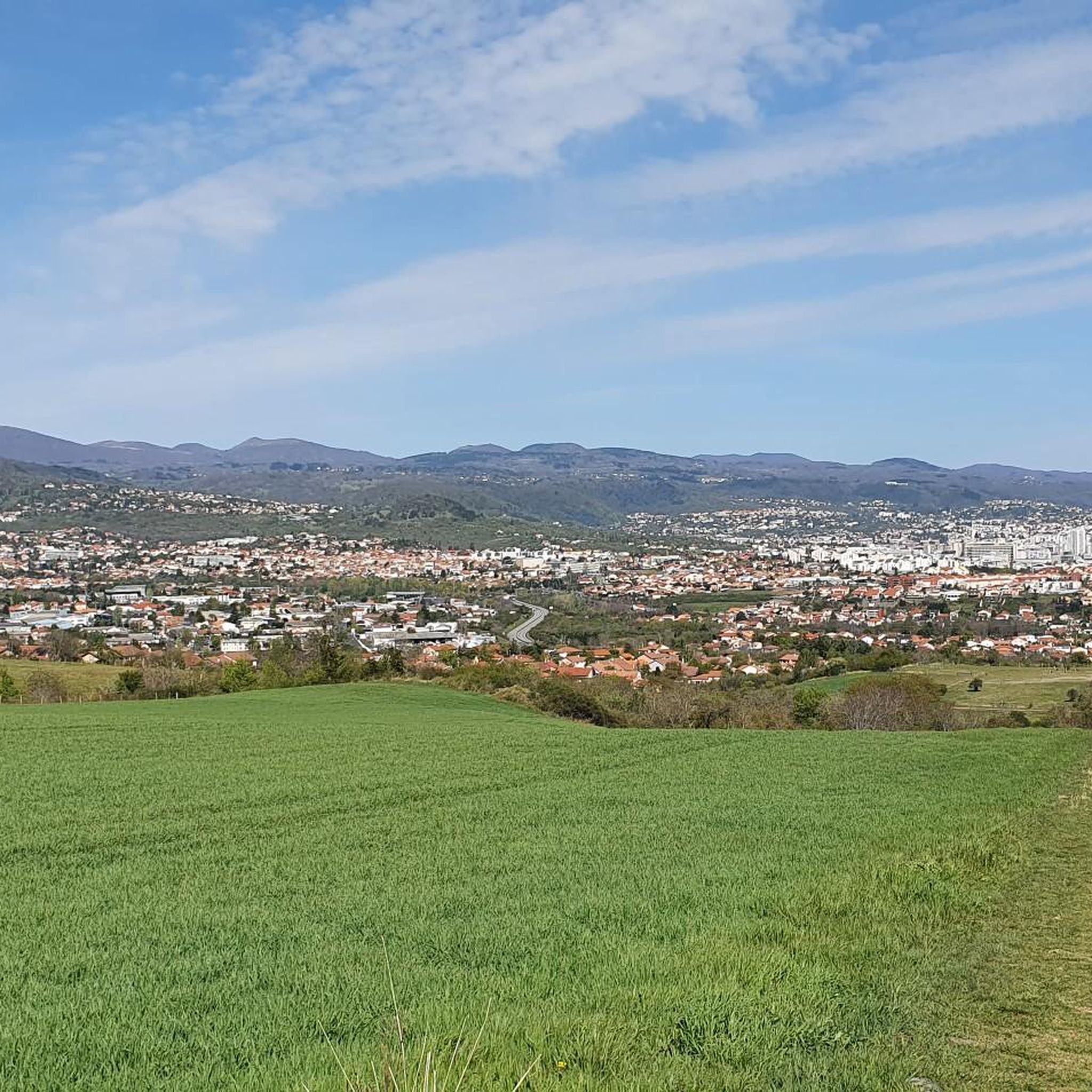
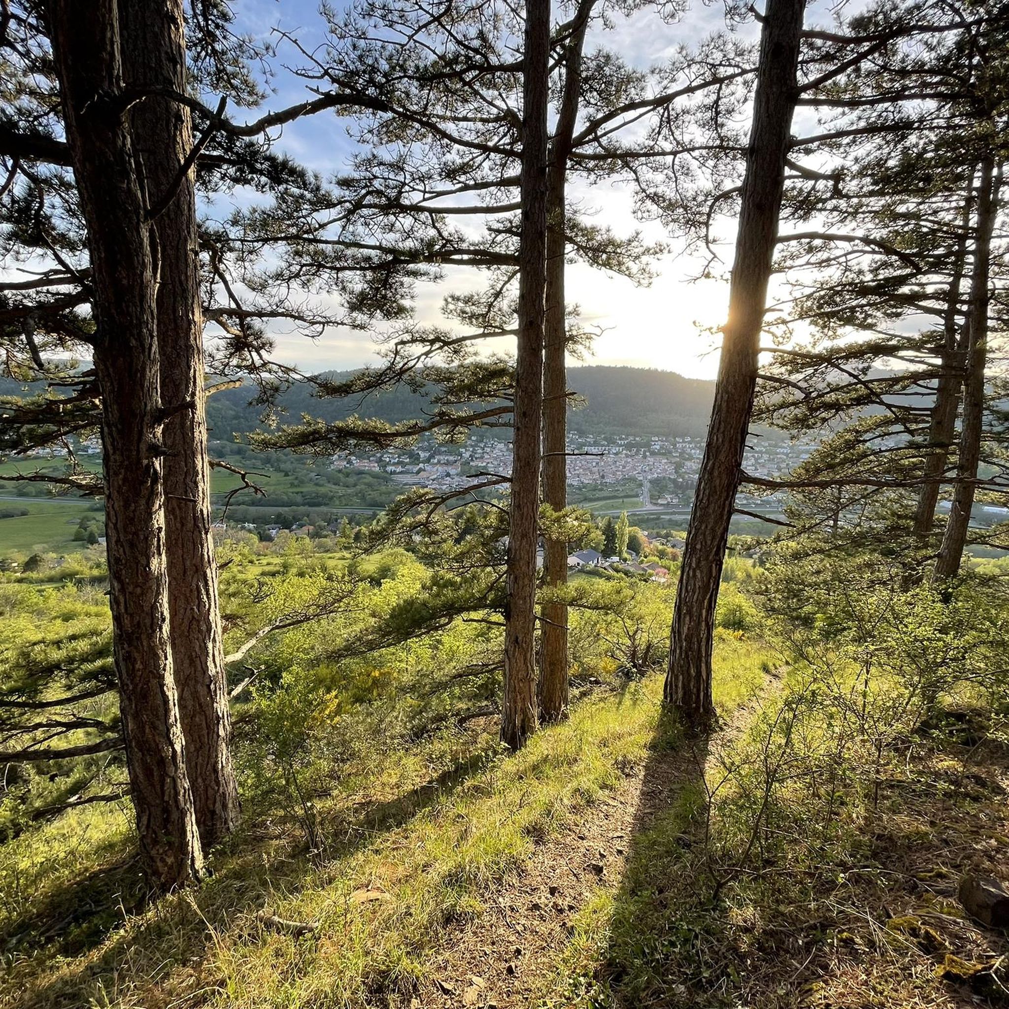
Hiking around Aubière provides access to the unique volcanic landscapes of the Auvergne region in France, characterized by dormant volcanoes, forests, and grasslands. The area is part of the Chaîne des Puys – Limagne fault, a UNESCO World Heritage site featuring a distinctive plateau of cones, craters, and slopes. Locally, the Puy d'Aubière offers a natural escape with biodiversity and views overlooking the Gergovie plateau. This varied terrain provides diverse opportunities for outdoor exploration.
Best hiking trails around Aubière
- The…
Last updated: July 5, 2026
4.7
(7)
53
hikers
10.7km
02:57
180m
180m
Moderate hike. Good fitness required. Easily-accessible paths. Suitable for all skill levels.
4.2
(5)
37
hikers
9.40km
02:53
320m
320m
Moderate hike. Good fitness required. Easily-accessible paths. Suitable for all skill levels.

Sign up for free
3.0
(1)
23
hikers
5.55km
01:31
90m
90m
Easy hike. Great for any fitness level. Easily-accessible paths. Suitable for all skill levels.
4.5
(2)
21
hikers
12.2km
03:32
310m
310m
Moderate hike. Good fitness required. Easily-accessible paths. Suitable for all skill levels.
5.0
(2)
19
hikers
9.81km
02:43
170m
170m
Moderate hike. Good fitness required. Easily-accessible paths. Suitable for all skill levels.
Get access to more routes and recommendations from other explorers.
Sign up for free
Already have an account?
Our route recommendations are based on thousands of hikes, rides, and runs completed by other people on komoot.
Start today with a free account
Your next adventure awaits.
Login or Signup

Tips from the Community

quite steep climb but quite accessible hike overall
0
0

Exceptional site. With a 360 view
1
0

Magnificent view of the city of Clermont-Ferrand and its surroundings.
0
0


The remains of the west gate of the oppidum date from the Gallo-Roman era since it is a masonry structure.
0
0
This Volvic stone monument, 26 meters high, celebrates Vercingetorix's victory over Julius Caesar in 52 BC. J.-C on this plateau then Gallic oppidum.
0
0
The northern end of the plateau offers magnificent views of the Chaîne des Puys and the Clermont area.
0
0
The northern end of the plateau offers magnificent views of the Chaîne des Puys and the Clermont area
1
0
Frequently Asked Questions
How many hiking trails are available around Aubière?
There are over 690 hiking routes around Aubière, offering a wide variety of options for all skill levels. These trails explore the unique volcanic landscapes, forests, and plateaus of the region.
What are the typical difficulty levels for hiking trails in Aubière?
The trails around Aubière cater to various abilities. You'll find approximately 299 easy routes, 357 moderate routes, and 34 more challenging trails. This ensures there's something for everyone, from leisurely strolls to more strenuous treks.
Are there any family-friendly hiking options near Aubière?
Yes, many trails around Aubière are suitable for families. The region's diverse landscape includes easier paths through forests and around smaller volcanic peaks like Puy du Pariou and Puy des Goules, which are known for being accessible for family hikes. Look for routes marked as 'easy' in the komoot guide.
Can I bring my dog on the hiking trails in Aubière?
The Auvergne region is generally dog-friendly, and many trails around Aubière welcome dogs, especially those through forests and open countryside. However, it's always best to keep your dog on a leash, particularly in protected natural areas or near livestock, and to check specific trail regulations if available.
What natural landmarks or viewpoints can I expect to see on hikes near Aubière?
Hiking around Aubière offers stunning views of the Chaîne des Puys, a UNESCO World Heritage site. You can expect to see dormant volcanoes, craters, and panoramic vistas. Notable viewpoints include the View of Puy de Dôme, offering 360-degree views of the volcanic chain. Other natural features include the Artière Gorges and the Dolmen de Samson.
Are there any circular hiking routes available?
Yes, many of the trails around Aubière are designed as loops, allowing you to start and end at the same point. For example, The Tranchère Mill – Montrognon Loop loop from Romagnat is a popular moderate circular route, and the Horse Pasture Near Romagnat loop from Romagnat offers an easier option.
What are some interesting historical or cultural sites to see while hiking?
Beyond natural beauty, the region offers historical insights. The Gergovia Plateau – Gergovie Plateau loop from Romagnat offers views of the historic Gergovia Plateau, famous for a significant battle. At the summit of Puy de Dôme, you can find the remains of a Roman temple to Mercury. Additionally, you might encounter charming chapels like Chapelle Saint-Aubin.
What do other hikers enjoy most about hiking in Aubière?
The area is highly rated by the komoot community, with an average score of 4.5 stars from over 1,700 reviews. Hikers frequently praise the unique volcanic landscapes, the well-maintained and signposted trails, and the diverse scenery that ranges from dense forests to open plateaus and panoramic viewpoints.
Is public transport available to access hiking trailheads?
While specific public transport links to every trailhead are not detailed, Aubière is well-connected within the region. For accessing the iconic Puy de Dôme, an electric cog train called the Panoramique des Dômes is available from its lower station, providing an accessible way to reach its summit and surrounding trails.
Are there any easy routes that offer good views?
Yes, even easier routes can provide rewarding views. The local Puy d'Aubière, recognized as a Sensitive Natural Area, offers a natural escape right at the city's edge with views overlooking the Gergovie plateau. Many of the 'easy' rated trails will take you through scenic countryside with gentle ascents to viewpoints.
What is the highest point I can reach on a hike near Aubière?
While not directly adjacent to Aubière, the region offers access to significant peaks. The Puy de Dôme, the highest volcano in the Chaîne des Puys, stands at 1,465 meters and offers panoramic views. Further afield, Puy de Sancy, at 1,885 meters, is the highest point of the Massif Central and the tallest volcano in metropolitan France.
Are there any routes that explore the unique red-earthed volcanic areas?
Yes, the region is famous for its distinctive volcanic geology. The twin volcanoes of Puy de la Vache and Puy de Lassolas, formed from the same eruption, offer unique stony, red-earthed landscapes that are fascinating to explore on foot.
Most popular attractions around Aubière

Get inspired with the komoot mobile app


Explore more
Browse the best Hikes in other regions.
