The best MTB trails around Birenbach
4.6
(2551)
7,996
riders
433
rides
Mountain biking around Birenbach offers diverse terrain in the eastern foothills of the Swabian Jura, bordered by the Schurwald and Welzheim Forest. The region features varied elevations, ranging from 317 meters to 521 meters, providing a mix of inclines and descents. Riders can explore dense woodlands, open landscapes, and routes leading to prominent features like Hohenstaufen Mountain. This topography creates a network of mountain bike trails suitable for different skill levels.
Best mountain bike trails around Birenbach
- The most popular…
Last updated: June 27, 2026
4.5
(52)
81
riders
41.2km
02:38
400m
410m
Moderate mountain bike ride. Good fitness required. Suitable for all skill levels.
4.8
(12)
63
riders
36.8km
02:15
390m
390m
Moderate mountain bike ride. Good fitness required. Suitable for all skill levels.

Sign up for free
4.9
(16)
45
riders
48.5km
03:17
760m
760m
Moderate mountain bike ride. Good fitness required. Suitable for all skill levels.
4.6
(9)
35
riders
51.5km
03:04
480m
480m
Moderate mountain bike ride. Good fitness required. Suitable for all skill levels.
4.3
(3)
18
riders
20.0km
01:38
410m
410m
Moderate mountain bike ride. Good fitness required. Advanced riding skills necessary.
Get access to more routes and recommendations from other explorers.
Sign up for free
Already have an account?
Our route recommendations are based on thousands of hikes, rides, and runs completed by other people on komoot.
Start today with a free account
Your next adventure awaits.
Login or Signup
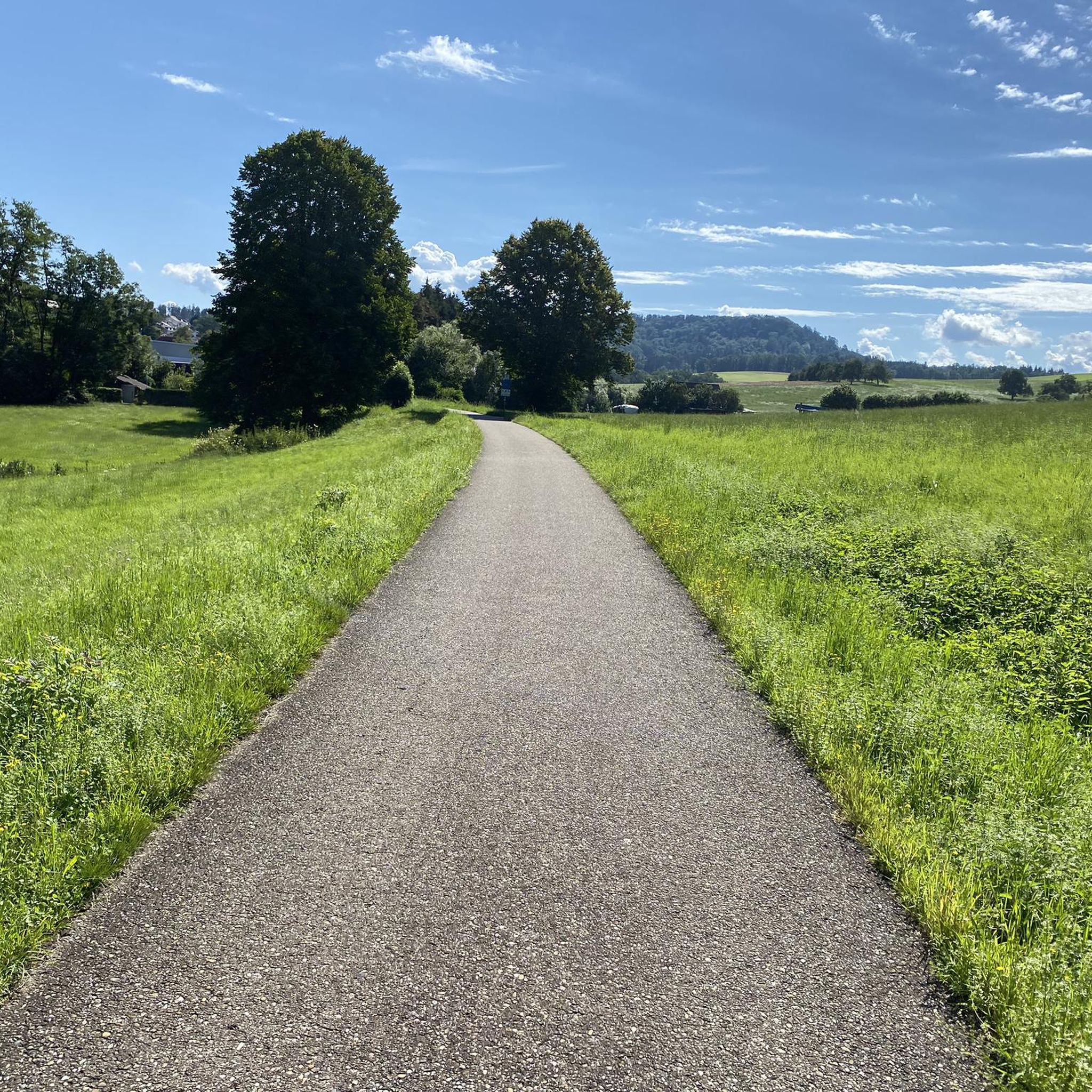
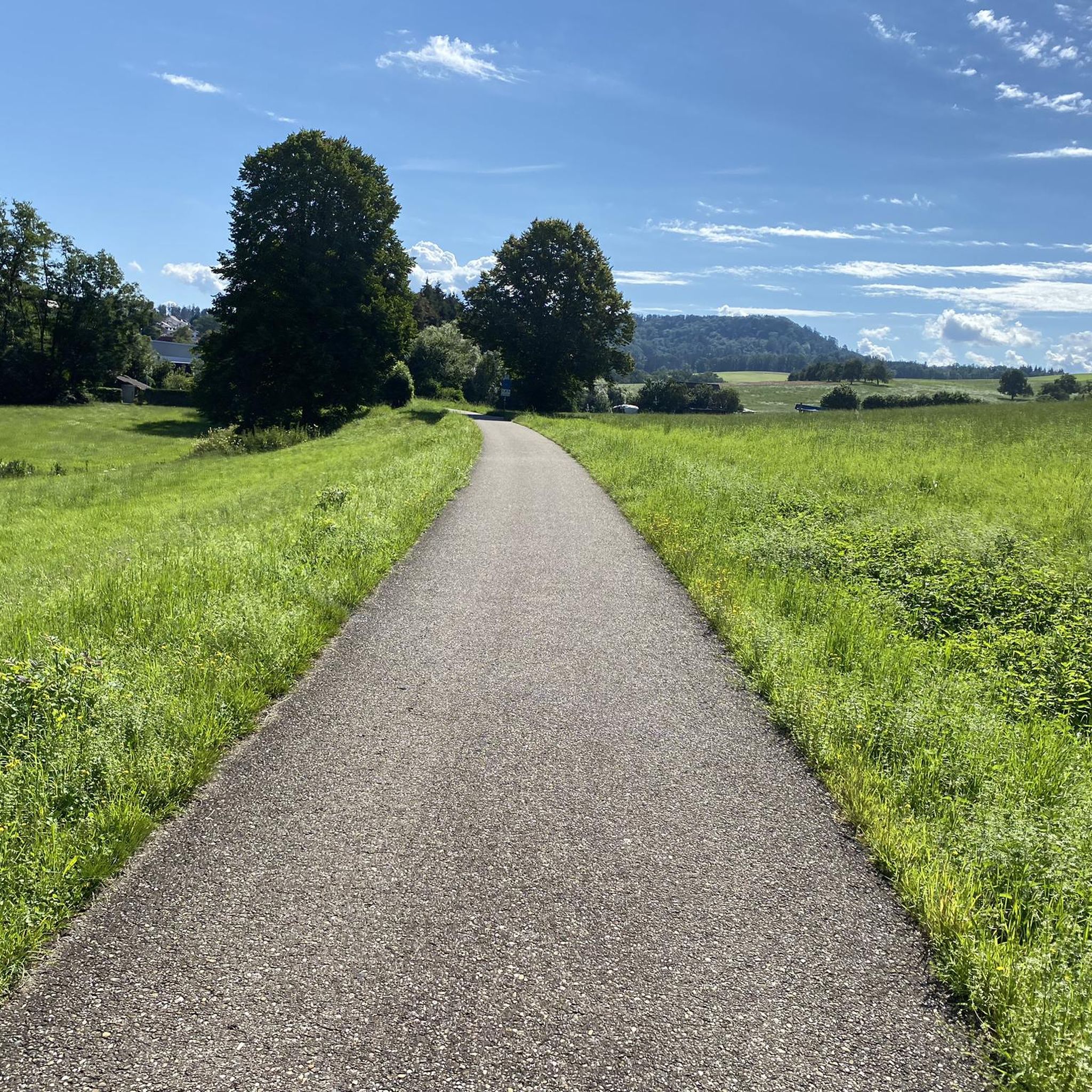
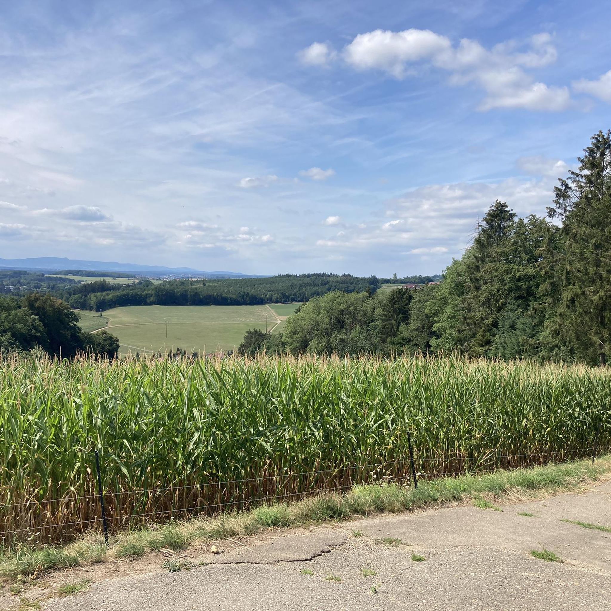
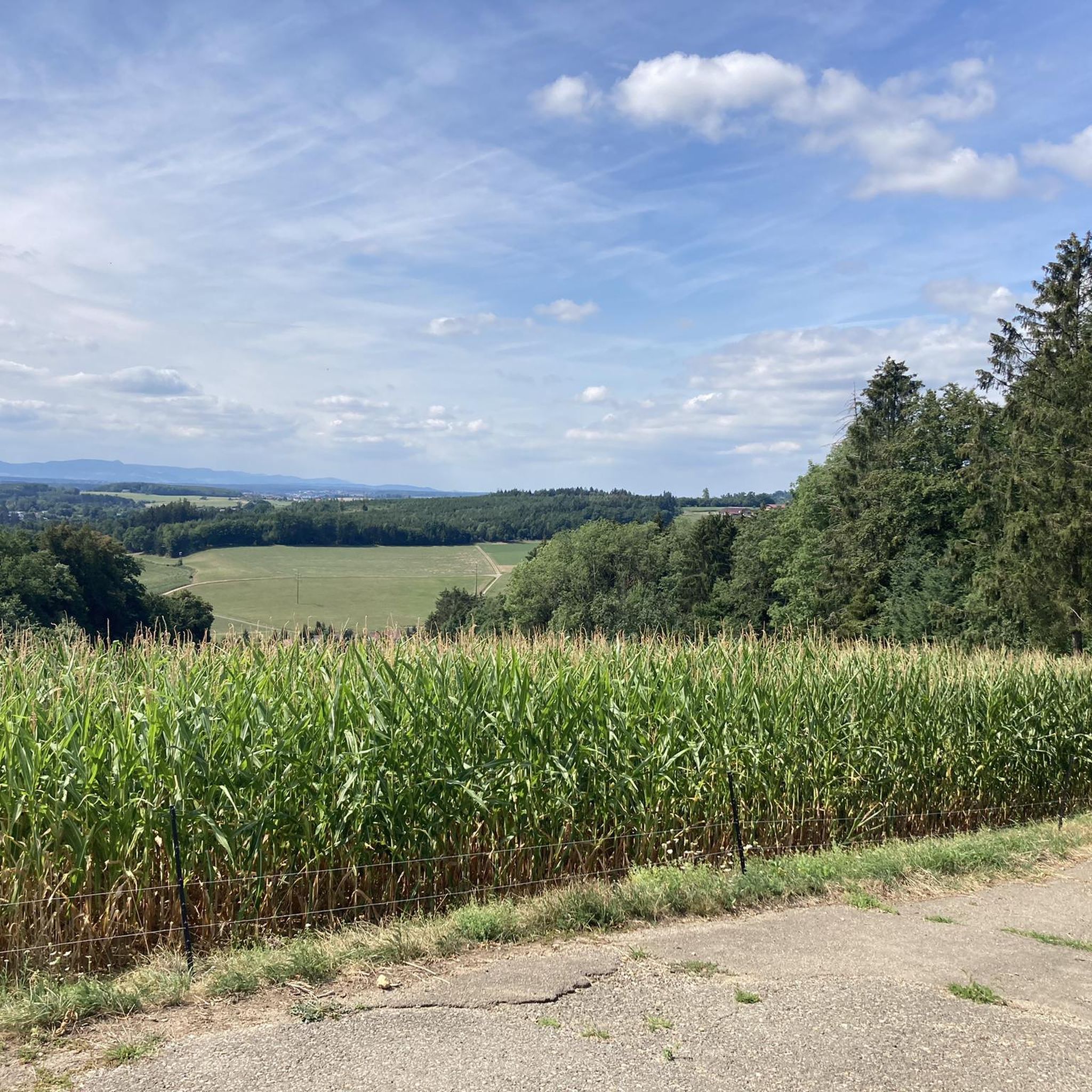

Tips from the Community

Nice rest stop You can have a good break here
0
0

Finally no sitting.
0
0

Even though the path is narrow, it is one of the best cycle path connections in the area.
0
0

The chapel was built with great care.
0
2
The view to the south is indeed very beautiful!
0
0

A nice counterpart to the nearby Plüderhausen bathing lake.
0
0

The Spielburg is a small rocky plateau. From the west, a pleasant path leads up with a short, alpine-style climb. Coming from Hohenstaufen Castle, there is a level crossing. Benches are located there. The view of the surrounding countryside is excellent. A summit cross stands before the rocky plateau.
0
0

... at the "Holy Cross Minster" in Schwäbisch Gmünd, Baden-Württemberg. - Not only is the interior of the Gmünd Minster interesting, it's worth taking a look up! Worth seeing are, among other things: - the tympanums on the nave and choir portals. The tympanums are "decorative surfaces" above the portals. Starting in the Gothic period, the semicircular arches are richly decorated with reliefs and sculptural figures. - the many gargoyles; there are said to be a total of 80 gargoyles, some with animal heads or evil faces. In addition to their functionality, the gargoyles were also intended to ward off evil and protect the church from negative forces. - the decorations on the facade https://www.muensterbauverein.org/Verkauf/Botschafter-der-Luefte
0
0
Frequently Asked Questions
How many mountain bike trails are available around Birenbach?
There are over 420 mountain bike trails around Birenbach, offering a wide range of options for different skill levels and preferences. This includes 94 easy routes, 288 moderate routes, and 44 difficult routes.
What kind of terrain can I expect on mountain bike trails in Birenbach?
The terrain around Birenbach is highly varied, situated in the eastern foothills of the Swabian Jura and bordered by the Schurwald and Welzheim Forest. You'll encounter diverse elevations ranging from 317 to 521 meters, providing a mix of challenging inclines and descents. Expect to ride through dense woodlands, open landscapes, and along well-developed cycling paths.
Are there mountain bike trails suitable for beginners or families in Birenbach?
Yes, Birenbach offers 94 easy mountain bike routes, making it suitable for beginners or families looking for a less strenuous ride. These trails often wind through scenic, less challenging terrain, allowing for a relaxed experience.
Where can I find trails with good viewpoints in Birenbach?
For stunning panoramic views, consider routes that ascend Hohenstaufen Mountain, a prominent 'witness mountain' with historical significance. The 'Panorama route Birenbach' is also known for its unique views over the 'Drei-Kaiserberge' (Three Emperor Mountains) and the eastern Alb. A popular route that offers panoramic views is the View of the Rechberg – View of Degenfeld loop from Wäschenbeuren.
Are there any trails that feature natural attractions like waterfalls or lakes?
Yes, the region boasts several natural attractions. The Herrenbach Reservoir is a notable highlight, offering pleasant routes around its perimeter. You can find it listed as a highlight here: Herrenbach Reservoir. Additionally, the Schelmenklinge Water Features, with its imposing sandstone cliffs and waterfalls, presents an interesting natural attraction that can be explored as part of a wider tour.
Can I bring my dog on the mountain bike trails in Birenbach?
Many trails in the Birenbach area, especially those through forests like the Schurwald and Welzheim Forest, are generally dog-friendly. However, it's always advisable to keep your dog on a leash, especially in nature reserves or areas with wildlife, and to check local regulations for specific routes. Ensure your dog is fit enough for the distance and elevation of your chosen trail.
What are some interesting landmarks or historical sites I can see while mountain biking?
Birenbach is rich in history and natural beauty. The ruins of Hohenstaufen Castle on Hohenstaufen Mountain are a significant landmark, offering both historical context and rewarding views. Another route, the Wäscher Castle – Easy trail at Wäscherschloss loop from Wäschenbeuren, passes by Wäscher Castle, providing a glimpse into the region's past.
What do other mountain bikers enjoy the most about mountain biking in Birenbach?
The komoot community highly rates mountain biking in Birenbach, with an average score of 4.7 stars from over 2200 reviews. Riders often praise the diverse terrain, the well-developed network of trails, and the scenic beauty of the mixed forests and panoramic views, particularly over the Drei-Kaiserberge.
Are there any circular mountain bike routes in Birenbach?
Yes, many of the mountain bike routes around Birenbach are designed as loops, allowing you to start and end at the same point. Examples include the Plüderhäuser See – Center of the Rems loop from Wäschenbeuren and the Spielburg – Spielburg loop from Börtlingen, which offer varied distances and elevations.
What is the typical elevation gain on mountain bike trails in Birenbach?
The elevation gain varies significantly depending on the trail. Given the region's topography, ranging from 317 to 521 meters, you can expect routes with moderate climbs and descents. For instance, the View of the Rechberg – View of Degenfeld loop from Wäschenbeuren has an elevation gain of over 700 meters, while others like the View of the Remstal – Wäscher Castle loop from Wäschenbeuren feature around 470 meters of ascent.
Is there public transport access to the mountain bike trails in Birenbach?
Birenbach is a well-connected community within the Göppingen district. While specific public transport options directly to trailheads may vary, the region generally has bus services that connect to nearby towns and train stations. It's recommended to check local bus schedules for connections to Birenbach and surrounding areas to plan your access to the trails.
Are there places to park my car when accessing mountain bike trails in Birenbach?
Yes, Birenbach and its surrounding communities typically offer various parking options, especially near popular trail access points or village centers. Many routes start from towns like Wäschenbeuren or Börtlingen, where public parking is usually available. Always look for designated parking areas to ensure you are not obstructing local residents or traffic.
Most popular attractions around Birenbach

Get inspired with the komoot mobile app


Explore more
Browse the best MTB trails in other regions.
