The best walks and hikes around Chard
4.7
(55)
174
hikers
34
hikes
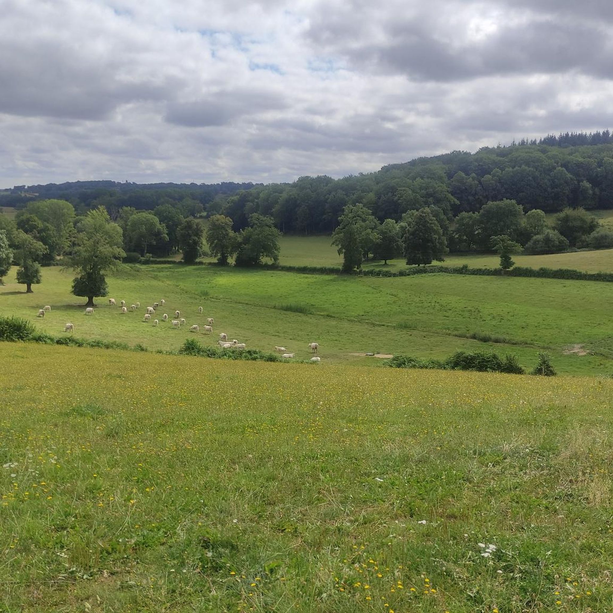
Hiking trails around Chard offer a variety of landscapes, characterized by rolling hills and agricultural land. The region features a network of paths that traverse open fields, small woodlands, and quiet country lanes. Many routes are circular walks around Chard, providing access to the local countryside. The terrain generally consists of gentle gradients, making it suitable for various fitness levels.
Best hiking trails around Chard
- The most popular hiking route is Montel-de-Gelat Village Center – Saint-Mamert Church loop from Les…
Last updated: July 2, 2026
4.7
(3)
8
hikers
Moderate hike. Good fitness required. Easily-accessible paths. Suitable for all skill levels.
5.0
(2)
9
hikers
Hard hike. Very good fitness required. Easily-accessible paths. Suitable for all skill levels.

Sign up for free
4.0
(3)
6
hikers
Moderate hike. Good fitness required. Easily-accessible paths. Suitable for all skill levels.
3
hikers
8.60km
02:18
100m
100m
Moderate hike. Good fitness required. Easily-accessible paths. Suitable for all skill levels.
5.0
(2)
3
hikers
11.5km
03:12
210m
210m
Moderate hike. Good fitness required. Easily-accessible paths. Suitable for all skill levels.
Get access to more routes and recommendations from other explorers.
Sign up for free
Already have an account?
Our route recommendations are based on thousands of hikes, rides, and runs completed by other people on komoot.
Start today with a free account
Your next adventure awaits.
Login or Signup


Tips from the Community

Small village in the Auvergne with beautiful old houses in typical French style.
12
0
Less than a century ago, every commune in France erected a monument in honor of the soldiers who fell for France during the World War from 1914 to 1918, whose armistice is celebrated on November 11. The municipality of Montel has not deviated from the rule, the monument to the dead erects its cenotaph on the square opposite the church, surmounted by a statue of a soldier carrying high the laurel of peace.
12
0
Charming inn with a very pleasant welcome. Very good kitchen with very good quality products and affordable.
12
0
Montel-de-Gelat is governed from here, it is located at an altitude of 700 m. with a territory of 2,502 hectares and a population of 422 in 2020. Montel-de-Gelat, located on a plateau between the Cher and Sioulet, is a region with vast ponds. This area used to be heavily populated in Gallo-Roman times.
12
0
According to tradition, the church was built by Guillaume Aubert, lord of Montel-de-Gélat, at the request of his brother, who died in 1362. This 14th-century building consists of a nave without aisles, a three-sided choir and two side chapels from the 15th century forming a false transept. The most constructed element is the main portal with a series of arcades falling on small columns with capitals composed of several heads and floral motifs. The bell tower was added in modern times.
11
0
Frequently Asked Questions
How many hiking trails are available around Chard?
There are over 25 hiking routes in the Chard area, offering a variety of experiences. This includes 8 easy trails, 16 moderate routes, and 2 more challenging options for experienced hikers.
Are there any easy or beginner-friendly hikes in Chard?
Yes, Chard offers 8 easy hiking trails, characterized by gentle gradients and accessible paths. These routes are suitable for beginners or those looking for a relaxed stroll through the countryside.
Can I find short walks around Chard?
Many of the trails around Chard are suitable for shorter walks. For example, the Mairie du Montel de Gelat. – Auberge du Montel loop from Montel-de-Gelat is a moderate 5.4-mile (8.7 km) route that can be completed in under 2.5 hours, offering a pleasant experience without requiring a full day.
Are there circular walks available in the Chard area?
Yes, many of the routes around Chard are circular walks, allowing you to start and end at the same point. This makes planning your hike more convenient, as you won't need to arrange return transport.
What kind of scenery can I expect on hikes around Chard?
Hiking around Chard offers diverse scenery, including rolling hills, agricultural fields, and small wooded areas. You'll often find paths traversing open countryside and quiet country lanes, providing a peaceful rural experience.
Are there any specific points of interest or landmarks to see along the trails?
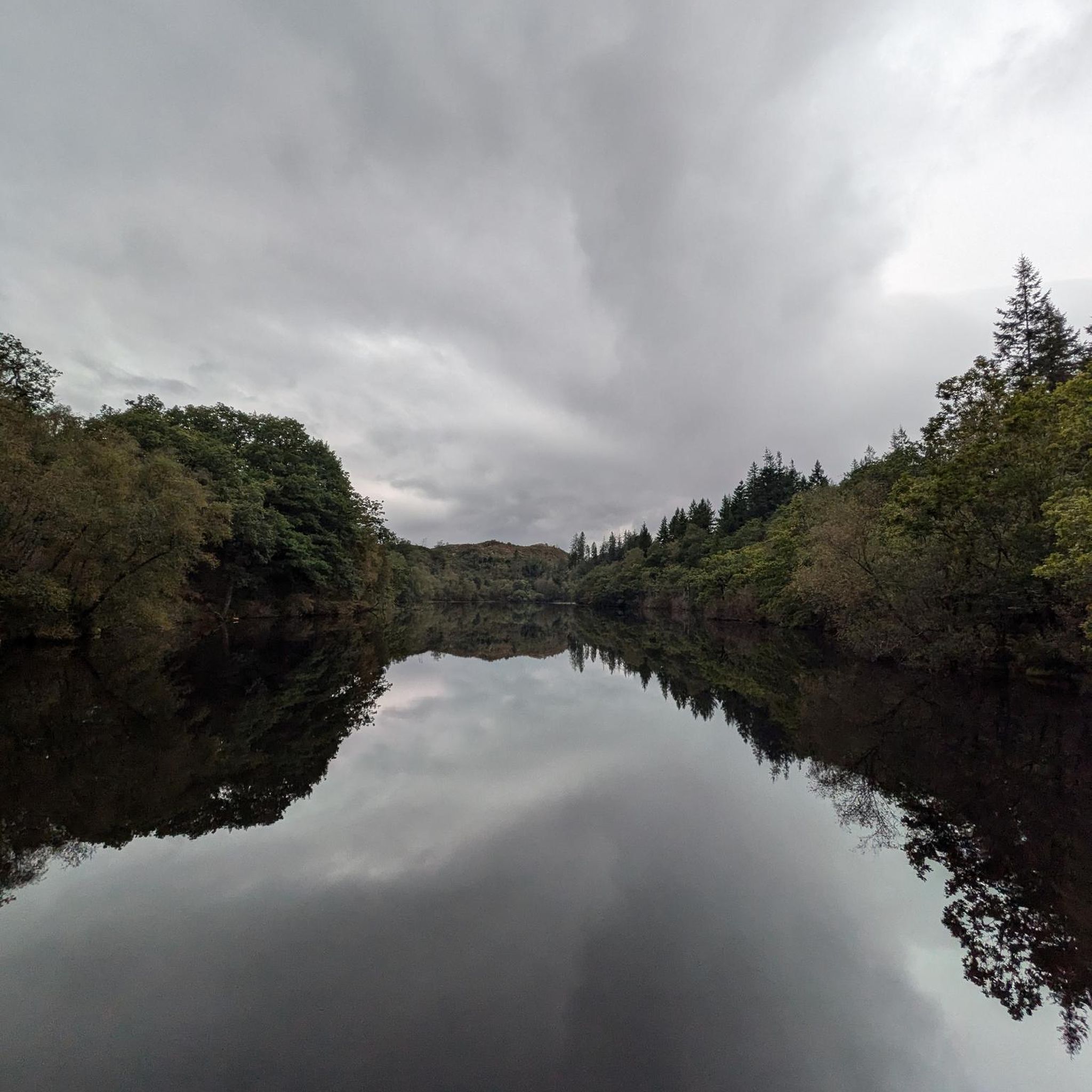
Yes, the region has several interesting spots. You might encounter the historic Saint-Mamert Church, or enjoy the tranquility of the Chancelade Lake Dock. For panoramic views, look out for the Magnificent viewpoint Auvergne.
What do other hikers enjoy most about the trails in Chard?
The trails in Chard are highly rated by the komoot community, with an average score of 4.6 stars from over 40 reviews. Hikers often praise the peaceful rural atmosphere, the varied scenery of fields and woodlands, and the accessibility of routes for different fitness levels.
Is Chard a good destination for family-friendly hikes?
Given the prevalence of easy trails and gentle gradients, Chard is well-suited for family-friendly hikes. Many routes traverse open fields and quiet paths, making them enjoyable for all ages. We recommend checking the distance and elevation of specific routes to match your family's capabilities.
Are there any challenging hikes for experienced trekkers?
Yes, for those seeking a greater challenge, there are a couple of difficult routes. The Saint-Mamert Church – Auberge du Montel loop from Montel-de-Gelat is a notable example, covering 12.6 miles (20.2 km) with more significant elevation changes, offering a rewarding experience for experienced hikers.
What is the best time of year to go hiking in Chard?
The best time to hike in Chard is generally during spring, summer, and early autumn. These seasons offer pleasant weather conditions for exploring the open fields and woodlands. Spring brings wildflowers, while autumn showcases beautiful foliage. Always check local weather forecasts before heading out.
Are there any trails that pass by water features?
Yes, some trails in the region lead past water features. For instance, the Tyx Pond loop from Saint-Avit-d'Auvergne is a popular route that takes you through open countryside and past local ponds, offering a refreshing element to your hike.
Is it possible to find parking near the trailheads in Chard?
While specific parking information varies by trailhead, in rural areas like Chard, you can often find designated parking areas in villages, near churches, or at the start of popular routes. It's advisable to check the route details on komoot for specific parking suggestions before your trip.
Most popular attractions around Chard

Get inspired with the komoot mobile app


Explore more
Browse the best Hikes in other regions.
