The best walks and hikes around Ardillières
4.7
(20)
285
hikers
41
hikes
Hiking around Ardillières offers access to a network of trails primarily characterized by flat terrain and gentle elevation changes. The region features open landscapes, agricultural areas, and routes around local water bodies such as Lake Frace and the Charras Canal. While Ardillières itself is defined by farmland, it serves as a base for exploring the diverse Charente-Maritime department, which includes coastal areas, marshlands like the Marais Poitevin, and forests. These trails provide opportunities for accessible outdoor activity across varied landscapes.
…Last updated: July 15, 2026
5.0
(3)
14
hikers
8.36km
02:07
20m
20m
Moderate hike. Good fitness required. Easily-accessible paths. Suitable for all skill levels.
9
hikers
Easy hike. Great for any fitness level. Easily-accessible paths. Suitable for all skill levels.

Sign up for free
29
hikers
3.00km
00:46
10m
10m
Easy hike. Great for any fitness level. Easily-accessible paths. Suitable for all skill levels.
2
hikers
Easy hike. Great for any fitness level. Easily-accessible paths. Suitable for all skill levels.
2
hikers
6.32km
01:37
20m
20m
Easy hike. Great for any fitness level. Easily-accessible paths. Suitable for all skill levels.
Get access to more routes and recommendations from other explorers.
Sign up for free
Already have an account?
Our route recommendations are based on thousands of hikes, rides, and runs completed by other people on komoot.
Start today with a free account
Your next adventure awaits.
Login or Signup
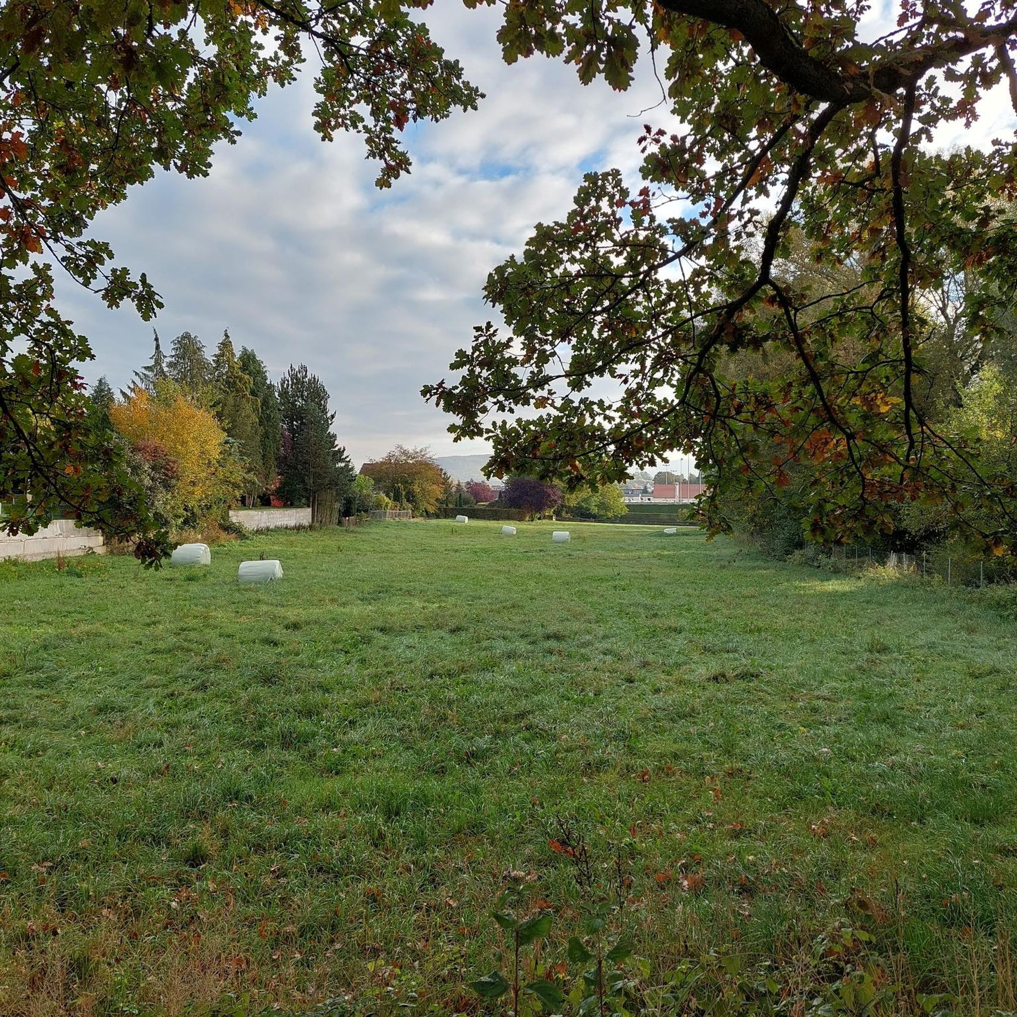

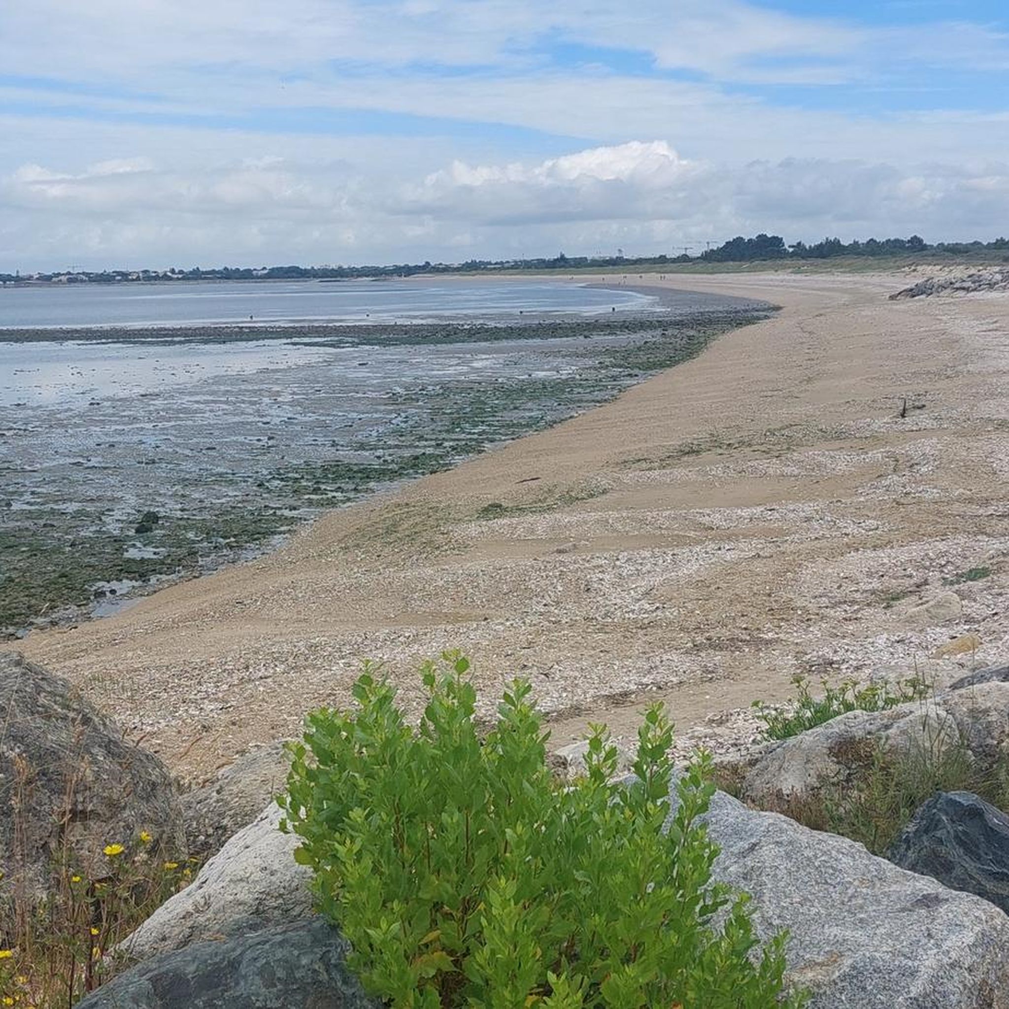

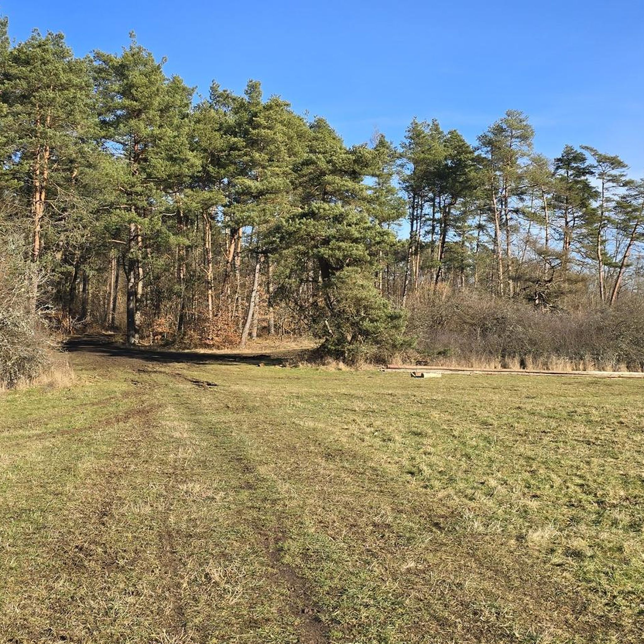
Tips from the Community

Goat cheese dairy with farm sale 4:00 p.m. - 6:00 p.m
0
0

Lac de Frace is a very pleasant body of water. Trails are laid out there to go around it. Picnic tables and playgrounds for children are available.
1
0

Lac de Frace is known for the prehistoric finds made at the site, dating from the Mesolithic and Early Neolithic (10,000 to 4,000 BC). It was actually formed by the extraction of peat from the site during the two world wars, so that the local inhabitants used it as fuel to heat their homes instead of coal.
2
0

Former peat farms rehabilitated into a natural leisure area. Unmissable place for a stroll for families Various activities, events and on-site catering, depending on the time of year.
0
0
Sale at the farm from Monday to Saturday (4 pm-6pm). Goat milking visible at 5 p.m.
0
0
Frequently Asked Questions
How many hiking trails are available around Ardillières?
There are over 40 hiking trails around Ardillières, offering a variety of options for exploring the region's flat terrain and open landscapes. These routes are highly rated by the komoot community, with an average score of 4.7 stars from over 17 reviews.
Are there easy hiking trails suitable for beginners or families in Ardillières?
Yes, Ardillières is well-suited for beginners and families, with 25 out of 42 routes classified as easy. These trails typically feature flat paths and gentle elevation changes, making them accessible for all skill levels. A good example is the Church of Aigrefeuille-d'Aunis – Lake Frace loop from Aigrefeuille-d'Aunis, an easy 3.4-mile (5.4 km) path.
What kind of terrain can I expect on hikes around Ardillières?
Hiking around Ardillières is characterized by predominantly flat terrain and gentle elevation changes. You'll find yourself traversing open landscapes, agricultural areas, and paths that often lead around local water bodies, such as Lake Frace. The trails are generally well-suited for relaxed walks.
Are there any circular walks in the Ardillières area?
Yes, many of the trails around Ardillières are circular, offering convenient starting and ending points. For instance, the Lake Frace loop from Forges is a popular moderate 5.2-mile (8.4 km) circular path that provides scenic views of the lake and countryside.
What are some interesting landmarks or attractions I can see while hiking in Ardillières?
While hiking in Ardillières, you can explore several local points of interest. The prominent Lake Frace is a central feature for many routes. Other nearby attractions include the historic Church of Our Lady of the Assumption and the impressive Tonnay-Charente Suspension Bridge.
Is Ardillières a good destination for dog-friendly hikes?
Given the region's open landscapes and agricultural paths, many trails around Ardillières are suitable for hiking with dogs. It's always advisable to keep dogs on a leash, especially when passing through farmland or near livestock, and to respect local regulations.
What is the best time of year to go hiking in Ardillières?
Ardillières offers pleasant hiking conditions for much of the year due to its mild climate and flat terrain. Spring and autumn provide comfortable temperatures and beautiful scenery, while summer can be enjoyable, especially around Lake Frace. Winter hikes are also possible, though some paths might be muddy after rain.
Are there options for public transport to access the hiking trails in Ardillières?
Access to hiking trails in Ardillières primarily relies on local transport options. While specific public transport routes directly to every trailhead may be limited, many routes start and end near villages like Aigrefeuille d'Aunis, which may have local bus services. Checking regional transport schedules is recommended for planning.
Where can I park my car when visiting hiking trails in Ardillières?
Many hiking routes in Ardillières begin and end near villages, where you can typically find public parking areas. For trails around Lake Frace or starting from Aigrefeuille d'Aunis, designated parking spots are often available close to the trailheads, making access convenient for drivers.
What kind of wildlife might I encounter on the trails around Ardillières?
Hiking through the open landscapes and agricultural areas of Ardillières, you might encounter various bird species, small mammals, and insects. The presence of Lake Frace also attracts waterfowl and other aquatic wildlife, offering opportunities for nature observation.
Are there any longer, more challenging hikes in Ardillières?
While Ardillières is known for its generally flat and easy terrain, there are moderate routes that offer a longer distance. For example, the Aigrefeuille d'Aunis – loop is a moderate 6.7-mile (10.8 km) trail that explores the rural surroundings and provides a good option for those looking for a longer outing.
What should I wear for hiking in Ardillières?
Given the generally flat and open nature of the trails, comfortable walking shoes are essential. Layered clothing is advisable to adapt to changing weather conditions, and a hat and sunscreen are recommended for sun protection, especially in open agricultural areas. Bringing water is always a good idea.
Most popular routes around Ardillières
Most popular attractions around Ardillières

Get inspired with the komoot mobile app


Explore more
Browse the best Hikes in other regions.
