The best MTB trails around Trévenans
4.5
(1244)
3,963
riders
395
rides
Mountain bike trails around Trévenans offer varied terrain, situated near the foothills of the Vosges mountains. The region features wooded areas, river valleys, and some canal-side paths, providing a mix of landscapes for cycling. While some routes are suitable for relaxed cycling, the area also presents more challenging mountain biking opportunities with significant elevation changes. The landscape transitions from flatter sections to more undulating terrain as it approaches the higher ground.
Best mountain bike trails around Trévenans
- The most popular…
Last updated: June 29, 2026
4.8
(9)
39
riders
34.2km
02:29
270m
270m
Moderate mountain bike ride. Good fitness required. Advanced riding skills necessary.
3.6
(9)
36
riders
47.8km
04:28
620m
620m
Hard mountain bike ride. Good fitness required. Advanced riding skills necessary. Some portions of the route may require you to push your bike.

Sign up for free
3.8
(13)
22
riders
19.3km
01:39
240m
240m
Moderate mountain bike ride. Great for any fitness level. Advanced riding skills necessary.
5.0
(2)
12
riders
34.8km
02:43
380m
380m
Hard mountain bike ride. Good fitness required. Advanced riding skills necessary. Some portions of the route may require you to push your bike.
3.7
(3)
14
riders
55.1km
04:36
670m
670m
Hard mountain bike ride. Good fitness required. Advanced riding skills necessary. Some portions of the route may require you to push your bike.
Get access to more routes and recommendations from other explorers.
Sign up for free
Already have an account?
Our route recommendations are based on thousands of hikes, rides, and runs completed by other people on komoot.
Start today with a free account
Your next adventure awaits.
Login or Signup
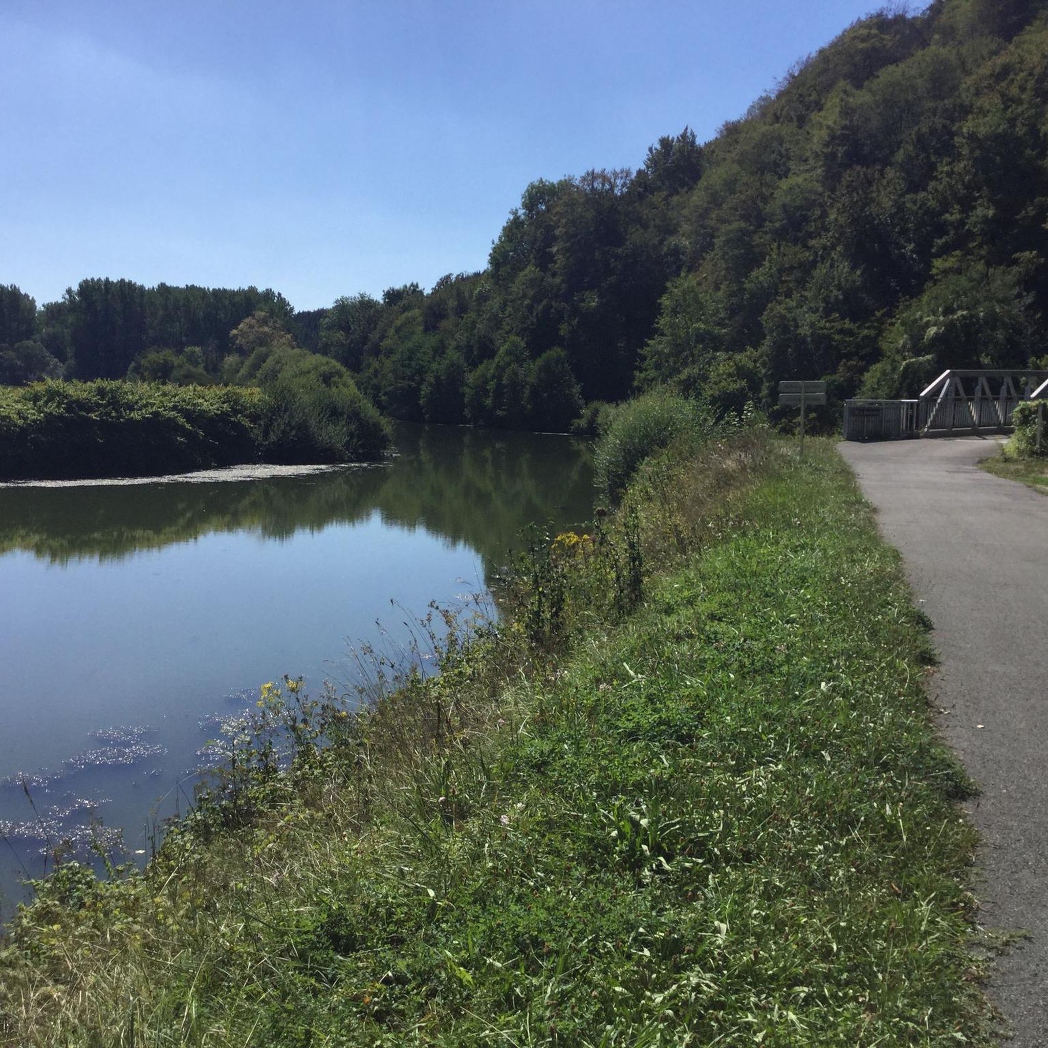

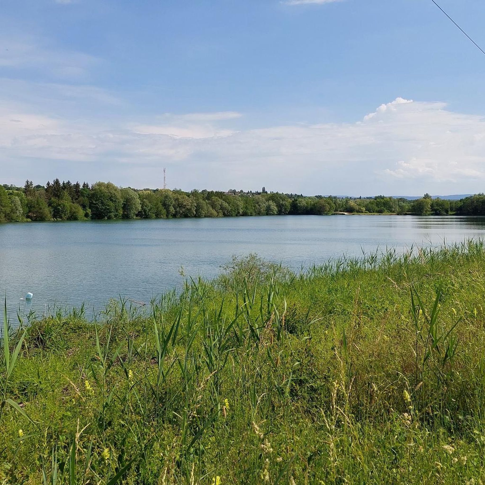
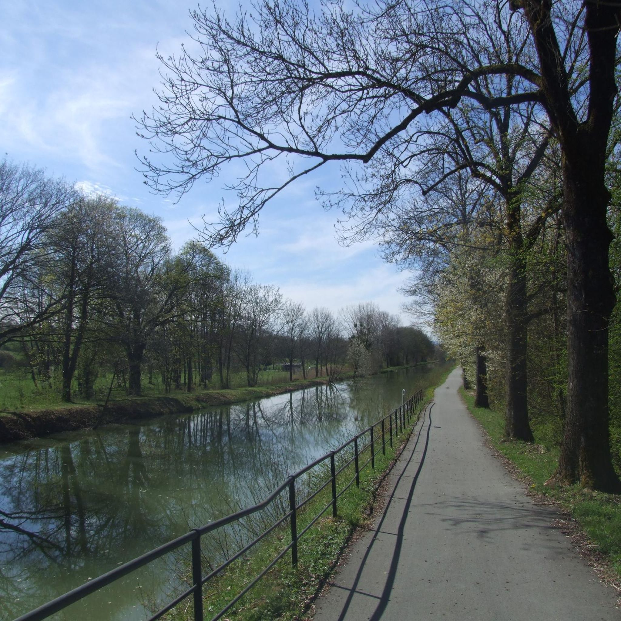
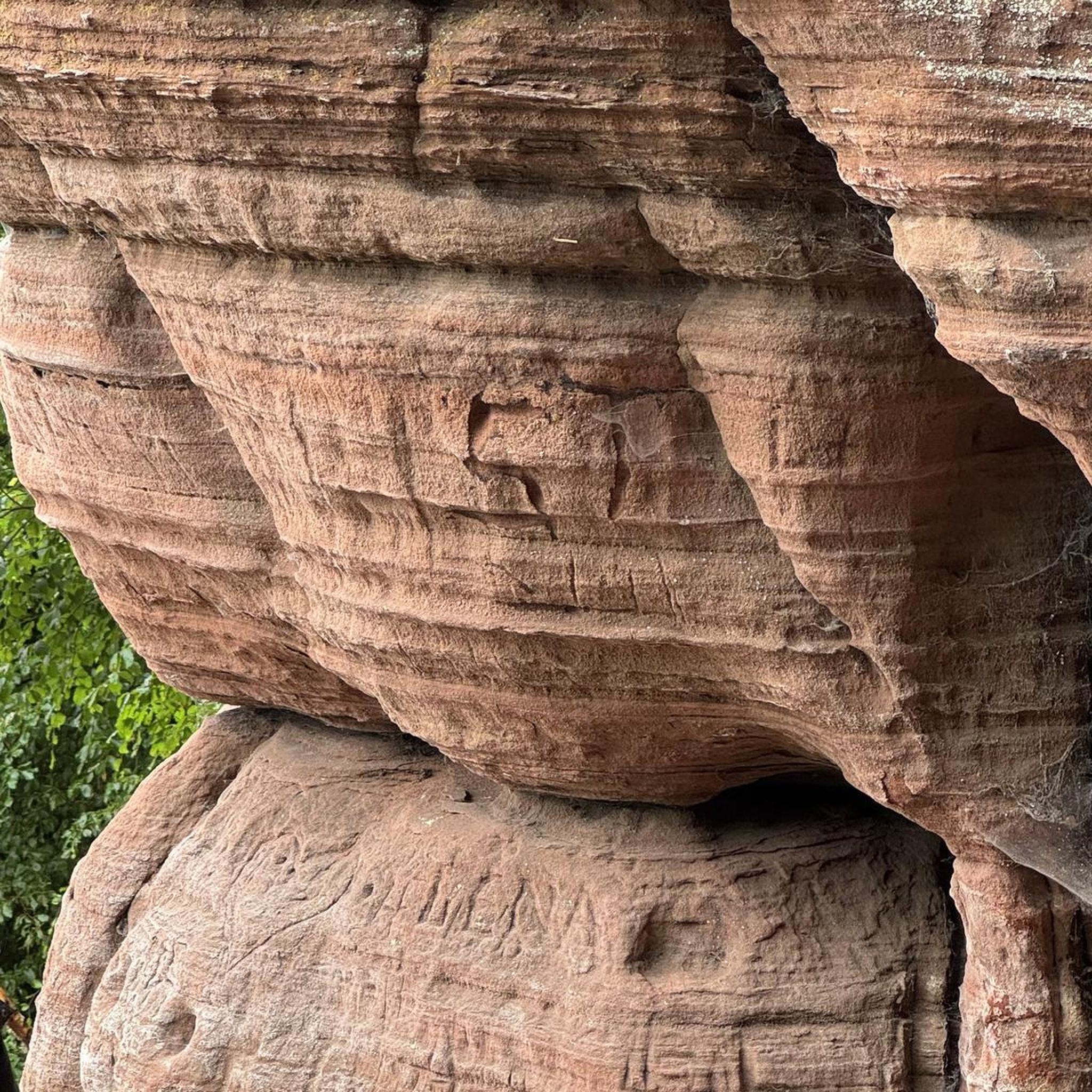
Tips from the Community

A varied trip along the Canal de Montbéliard à la Haut Saône
0
0

Well done for sharing this knowledge and thank you for taking the time to share it with us.
0
0

This obviously interested me in my search for a good tour and that's why I looked here as I had no idea what dolmens were: https://www.lieux-insolites.fr/hsaone/brevilliers/brevilliers.htm The Brévilliers dolmen This dolmen was excavated between 1976 and 1984 by Messrs Petrequin and Pinigre. It is part of a group of 18 megaliths located on the limestone plateau of the Haute-Saône, north of the Jura Arc. These monuments are the survivors of what is certainly a much larger whole. Archival documents refer to a second dolmen in Brévilliers. But this one has unfortunately disappeared. ………….
1
0

Magnificent view of the region by clear sky...
1
0

It was after the loss of Alsace in 1871 that the government of the Third Republic decided in 1878 to build canals in Eastern France to allow the movement of goods, and in particular steel products from Lorraine to Franche. -Comté, between the Nancy region and those of Burgundy and Franche-Comté. One of the first projects concerned the construction of the Canal de l'Est which began around 1875 and completed in 1887, then that of the Canal de la Haute-Saône which was to connect the remaining French part of the Canal du Rhône au Rhine to the Canal de l'Est . The aim was also to serve the Ronchamp coal mines and allow the coal produced in its shafts to be evacuated. In 1881 the project was largely defined and received approval from the Administration. The first blows of the pickaxes were given in 1882 but the difficulties encountered during the drilling of the Châlonvillars and Chérimont tunnels, the enormous volume of excavated material, due to the deep trenches and the significant embankments, meant that the initial budget turned out to be under -evaluated. As sufficient additional funds were slow to come, the project dragged on and completion could not take place before the end of the First World War which returned Alsace and its waterways to France. As the usefulness of the canal was no longer established, the entire project was called into question and only the section (12.5 km) connecting the Rhône-Rhine canal to the port of Botans was completed and filled with water in 1926. This port, managed by the Chamber of Commerce and Industry, served until the 1970s as a coal port for Belfort. At the beginning of the 21st century, only rare pleasure boats still used it. On April 26, 2018, in view of the upcoming closure of the section, the last boats left the port of Botans. The banks are a place for walks appreciated by residents of the Belfort-Montbéliard urban area: it is the Coulée Verte of the canal which allows hikers and cyclists to go from the lock located between Essert and Châlonvillars (Haute-Saône ) at the Prés-la-Rose park in Montbéliard (Doubs), by taking EuroVélo 6 from a point located in the commune of Étupes. The Champagney basin initially constituted the water reserve (13 million m³) for regulating the water level in the canal. Currently, it is a lake very popular with local fishermen and swimmers.
1
0
G Lieuhard would be the sculptor of the war memorial.
0
0
CONSTRUCTION, Mission, or Function of the object Protection of the southern accesses to the Place de Belfort. CONSTRUCTION, Typical plan Cupola type 7th Military Region for machine gun. DENOMINATION, Alternative denominations Coded B11-C. SOURCES, Bibliography or reference documents - www.lignemaginot.com - KML file of Jean-Louis AUBLET and Sylvie MAINGUIN - www.attila-77250.fr
0
0
In 1890, a 247-seat cave shelter was built to the north of the fort. In the event of an attack on the Place de Belfort, it was intended to shelter either reserve troops, or when the bombardments prevented them from fulfilling their mission.
0
0
Frequently Asked Questions
What types of mountain bike trails can I find around Trévenans?
The Trévenans area offers a diverse range of mountain bike trails, from flatter sections along canal-side paths like the EuroVelo 6 to more undulating terrain as you approach the Vosges foothills. You'll find a mix of wooded areas, river valleys, and paths connecting historical sites. The region provides options for easy, moderate, and difficult ability levels.
How many mountain bike trails are available in the Trévenans region?
There are over 400 mountain bike trails available around Trévenans. This includes approximately 50 easy routes, over 170 moderate trails, and more than 180 difficult options, catering to various skill levels.
Are there any family-friendly mountain bike trails near Trévenans?
While the region is known for varied terrain, the canal-side greenways, such as sections of the EuroVelo 6, offer flat and smooth paths that are excellent for relaxed cycling and can be suitable for families. For a specific moderate route, consider the Dolmen de Brevilliers – Panoramic view loop from Trévenans, which leads through wooded areas.
What are some challenging mountain bike trails in the area?
For more challenging rides, you can explore routes with significant elevation changes. A difficult option is the EuroVelo 6 at Bourogne – Pont Sarrazin Natural Arch loop from Meroux, which features a natural arch and varied landscapes. Another demanding trail is the Salbert Viewpoint – Enduro Descent loop from Sevenans.
What landmarks or points of interest can I see along the mountain bike trails?
Many trails pass by historical sites and natural features. You can encounter fortifications like the Fort de Vézelois, or enjoy views of the Citadel of Belfort. The Fort de Meroux – Fort de Vézelois loop from Belfort-Montbéliard TGV connects several historical forts. Additionally, the Lion of Belfort is a prominent nearby attraction.
Are there any circular mountain bike routes around Trévenans?
Yes, many mountain bike routes in the area are designed as loops. For example, the Fort de Meroux – Fort de Vézelois loop from Belfort-Montbéliard TGV is a moderate circular trail. Another option is the Mine Shaft – Dolmen de Brevilliers loop from Nommay, which offers a more difficult experience.
What do other mountain bikers say about the trails in Trévenans?
The mountain bike trails around Trévenans are highly rated by the komoot community, with an average score of 4.4 stars from over 1,100 reviews. More than 4,500 mountain bikers have used komoot to explore the varied terrain, often praising the mix of wooded sections and river valleys.
Is the area around Trévenans suitable for beginner mountain bikers?
Yes, the region offers options for beginners. While some trails are challenging, there are approximately 50 easy routes available. The canal-side paths, like those along the Montbéliard–Haute-Saône Canal, provide a gentler introduction to cycling in the area.
What natural features can I expect to see while mountain biking?
You'll encounter diverse natural landscapes, including wooded areas like the Bois de la Duchesse, scenic river valleys such as along the Bourbeuse River, and the peaceful greenways of the Chemin de Halage Allenjoie. The proximity to the Vosges foothills also means varied terrain and natural beauty.
Are there any specific viewpoints along the mountain bike trails?
Yes, some trails offer panoramic views. The Dolmen de Brevilliers – Panoramic view loop from Trévenans is known for its scenic outlooks. Additionally, the Salbert Viewpoint – Enduro Descent loop from Sevenans suggests a route featuring a notable viewpoint.
What is the best season for mountain biking in Trévenans?
The region's varied terrain, including wooded sections and canal paths, makes it enjoyable across multiple seasons. Spring and autumn generally offer pleasant temperatures and vibrant scenery. Summer can also be good, especially on shaded trails or along the cooler canal routes.
Can I find mountain bike trails that are dog-friendly in Trévenans?
Many natural trails and paths in the Trévenans area, particularly those through wooded sections and along river valleys, are generally suitable for dogs, provided they are well-behaved and kept under control. Always check local regulations and signage for specific restrictions on individual trails or protected areas.
Most popular routes around Trévenans
Most popular attractions around Trévenans

Get inspired with the komoot mobile app


Explore more
Browse the best MTB trails in other regions.
