The best road cycling routes around Droiturier
4.0
(20)
413
riders
109
rides
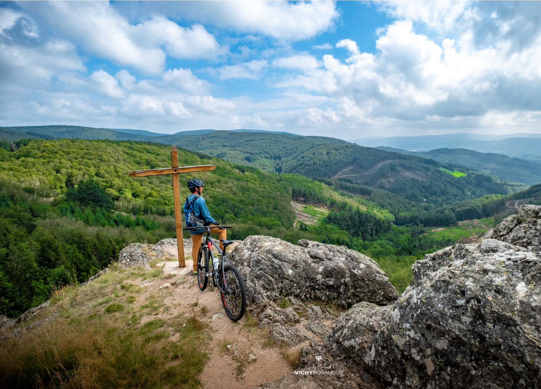
Road cycling routes around Droiturier are situated in the Allier department, within the Auvergne-Rhône-Alpes region of France. This area is characterized as a middle mountain region, offering diverse terrain that ranges from the gentler plains of Sologne Bourbonnaise to the more challenging Highlands of the Bourbonnaise Mountain, nestled within the Besbre valley. The landscape features rolling countryside, rough plateaus, and forests, providing varied conditions for road cyclists.
Best road cycling routes around Droiturier
- The most popular road cycling route is…
Last updated: October 19, 2026
15
riders
84.1km
04:21
1,450m
1,450m
Hard road ride. Very good fitness required. Some segments of this route may be unpaved and difficult to ride.
4.5
(4)
9
riders
34.3km
01:29
190m
190m
Easy road ride. Mostly well-paved surfaces and easy to ride.

10
riders
50.0km
02:22
670m
670m
Moderate road ride. Good fitness required. Mostly well-paved surfaces and easy to ride.
9
riders
78.6km
03:47
1,130m
1,130m
Hard road ride. Very good fitness required. Mostly well-paved surfaces and easy to ride.
16
riders
61.1km
02:40
470m
470m
Moderate road ride. Good fitness required. Mostly well-paved surfaces and easy to ride.
Get access to more routes and recommendations from other explorers.
Already have an account?
Our route recommendations are based on thousands of hikes, rides, and runs completed by other people on komoot.
Start today with a free account
Your next adventure awaits.



Other adventures around Droiturier

Tips from the Community

La Palice or Lapalisse: "A quarter of an hour before his death, he was still alive". Hilly route on the outskirts of the Bourbonnais mountains 30 km north-east of Vichy
0
0

The dam bridge with a view of the salmon run
0
0

Saint-Clément is a small village on the banks of the Bresbe River. If you're hiking the GR 3, you'll probably be delighted to discover its bistro, Chez Louise, which enjoys an excellent reputation. They serve homemade dishes, and with a smile!
0
0

On quiet back roads from La Palisse to Vichy in beautiful countryside.
0
0
Small town at the foot of the castle of the same name.
0
0
Beautiful Romanesque church in small "mountain" village
0
0
Saint-Clément is a small village on the edge of the Bresbe. If you walk along the GR 3, you will probably be delighted to discover the bistro Chez Louise, which has an excellent reputation. They serve homemade dishes, and with a smile!
0
0

A corner of paradise and an air of Provence due to its vegetation and its full sun exposure. After driving under the tall fir trees, the landscape opens up on this plateau and offers us a completely different setting.
0
0
Frequently Asked Questions
What kind of terrain can I expect on road cycling routes around Droiturier?
The Droiturier area, situated in the Auvergne-Rhône-Alpes region, offers a diverse "middle mountain" landscape. You'll encounter a mix of gentler plains in the Sologne Bourbonnaise, rolling countryside, and more challenging ascents in the Highlands of the Bourbonnaise Mountain. The region is known for its rough plateaus, forests, and promises of unforgettable panoramas.
Are there road cycling routes suitable for beginners in Droiturier?
Yes, Droiturier offers routes for various skill levels. While many routes are moderate to difficult, there are approximately 6 easy road cycling routes available. These typically feature less elevation gain and shorter distances, making them suitable for those new to road cycling or looking for a more relaxed ride.
What are the typical distances for road cycling routes in this region?
Road cycling routes around Droiturier vary significantly in length. You can find routes ranging from shorter rides to longer excursions. For example, a popular difficult route like Col de la Rivière Noire – Church of Châtel-Montagne loop from Droiturier covers about 52 miles (84 km), while others may be shorter or longer depending on the specific loop.
What historical landmarks or natural sights can I see along the road cycling routes?
The region around Droiturier is rich in historical and natural attractions. You might pass by medieval half-timbered houses, the 11th-12th century Romanesque Saint-Nicolas/Sainte-Croix Church, or even an 18th-century Valley Bridge. Natural curiosities like cupule rocks can also be discovered. For specific points of interest, consider routes that pass near highlights such as the Pisserotte Waterfall or the Château de La Palice in Lapalisse.
Are there any circular road cycling routes around Droiturier?
Yes, many of the road cycling routes in the Droiturier area are designed as loops, allowing you to start and finish in the same location. An example of a challenging circular route is the Col de la Croix du Sud – Col de la Rivière Noire loop from Lapalisse, which offers sustained climbs and descents through varied mountain terrain.
What do other cyclists say about road cycling in Droiturier?
The road cycling routes in Droiturier are highly regarded by the komoot community, with an average rating of 3.6 stars from over 10 reviews. Cyclists often praise the varied terrain, from rolling countryside to challenging mountain passes, and the scenic beauty of the region.
Can I find routes with significant climbs or 'cols' in the Droiturier area?
Absolutely. The Droiturier area, being a "middle mountain" region, offers numerous opportunities for challenging climbs. Routes often include multiple cols, such as those found on the Col de la Croix du Sud – Col de la Rivière Noire loop from Lapalisse, providing sustained ascents and rewarding descents through mountainous landscapes.
Are there any family-friendly road cycling options in Droiturier?
While many routes are geared towards moderate to difficult levels, the region's diverse terrain includes gentler sections. For family-friendly options, look for the easier routes, which tend to be shorter and have less elevation gain. These routes often traverse the rolling countryside, providing a pleasant experience for families.
What is the best time of year for road cycling around Droiturier?
The Auvergne-Rhône-Alpes region generally offers pleasant cycling conditions from spring through autumn. The "rolling countryside" and varied landscapes are particularly enjoyable when the weather is mild. While specific winter conditions are not detailed, the middle mountain terrain suggests that spring, summer, and early autumn would provide the most comfortable and accessible cycling experiences.
Are there any routes that pass through charming villages or past architectural points of interest?
Yes, many routes in the Droiturier area will lead you through or near villages with historical significance. You can expect to see local architecture, including medieval half-timbered houses and Romanesque churches. For instance, the Saint-Léger Church of Arronnes – Church of Châtel-Montagne loop from Lapalisse passes by historical churches and through rolling countryside, offering a blend of scenic beauty and cultural interest.
How many road cycling routes are available around Droiturier?
There are over 120 road cycling routes available around Droiturier, offering a wide variety of options for different skill levels and preferences. This includes approximately 6 easy routes, 80 moderate routes, and 34 difficult routes.
Most popular attractions around Droiturier

Get inspired with the komoot mobile app


Explore more
Browse the best Road cycling routes in other regions.
