The best running trails around Böll
4.6
(72)
2,009
runners
16
runs
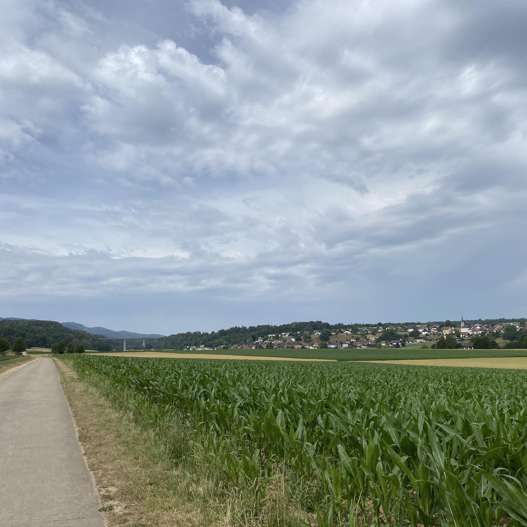
Jogging routes around Böll offer a variety of terrain, from open field paths to natural forest environments. The region features routes that traverse through diverse landscapes, including sections along the Rur valley. Runners can experience varied elevation changes, with some paths providing panoramic views. The area is characterized by its mix of agricultural land and wooded areas, providing a natural setting for outdoor activity.
Best jogging routes around Böll
- The most popular jogging route is Running loop from Meroux-Moval,…
Last updated: July 5, 2026
34
runners
5.29km
00:35
50m
50m
Moderate run. Good fitness required. Mostly paved surfaces. Suitable for all skill levels.
17
runners
6.41km
00:42
70m
70m
Moderate run. Good fitness required. Mostly paved surfaces. Suitable for all skill levels.

Sign up for free
5.0
(1)
9
runners
13.9km
01:27
80m
80m
Moderate run. Good fitness required. Mostly paved surfaces. Suitable for all skill levels.
8
runners
22.2km
02:19
130m
130m
Hard run. Very good fitness required. Mostly paved surfaces. Suitable for all skill levels.
8
runners
12.0km
01:16
70m
70m
Moderate run. Good fitness required. Mostly paved surfaces. Suitable for all skill levels.
Get access to more routes and recommendations from other explorers.
Sign up for free
Already have an account?
Our route recommendations are based on thousands of hikes, rides, and runs completed by other people on komoot.
Start today with a free account
Your next adventure awaits.
Login or Signup

Tips from the Community

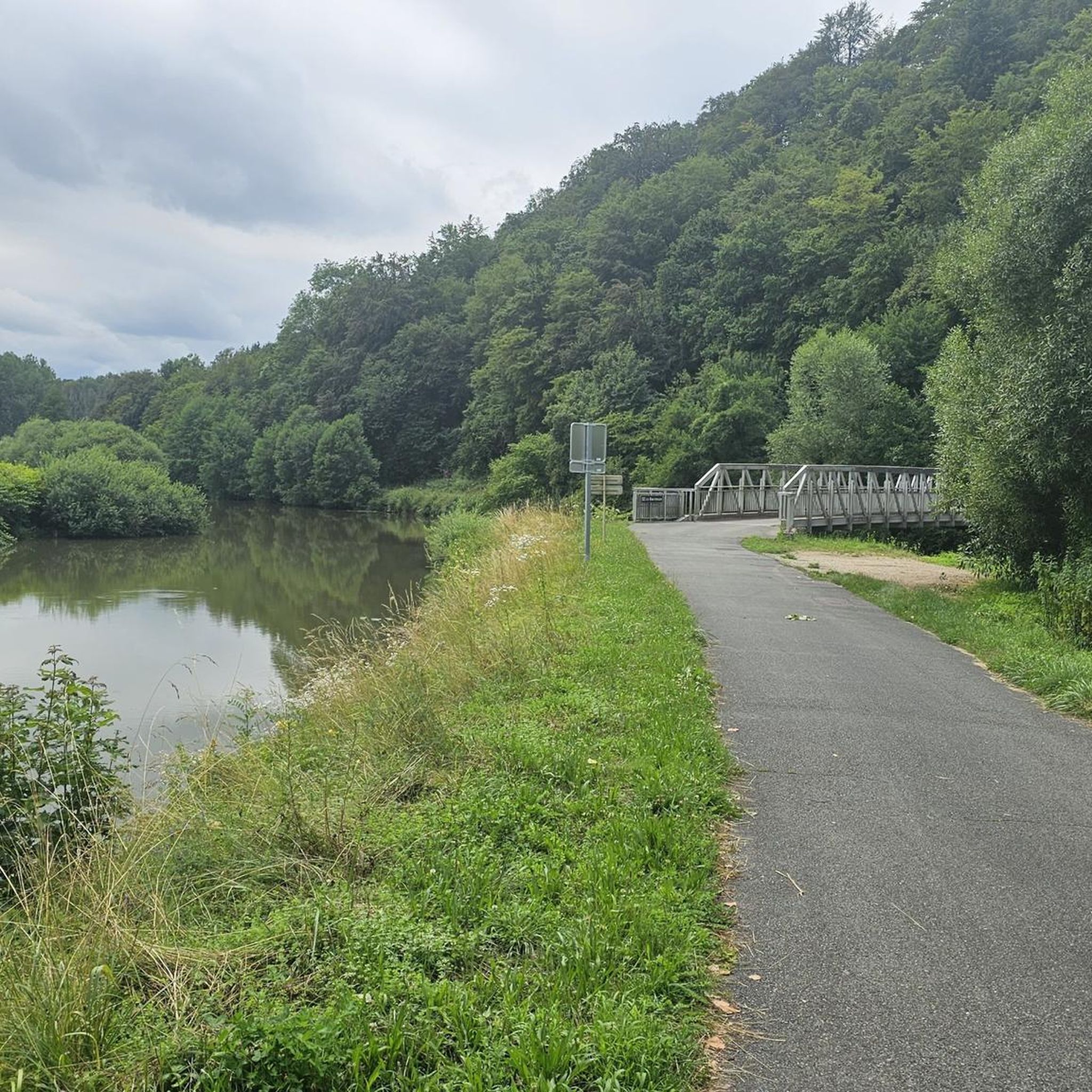
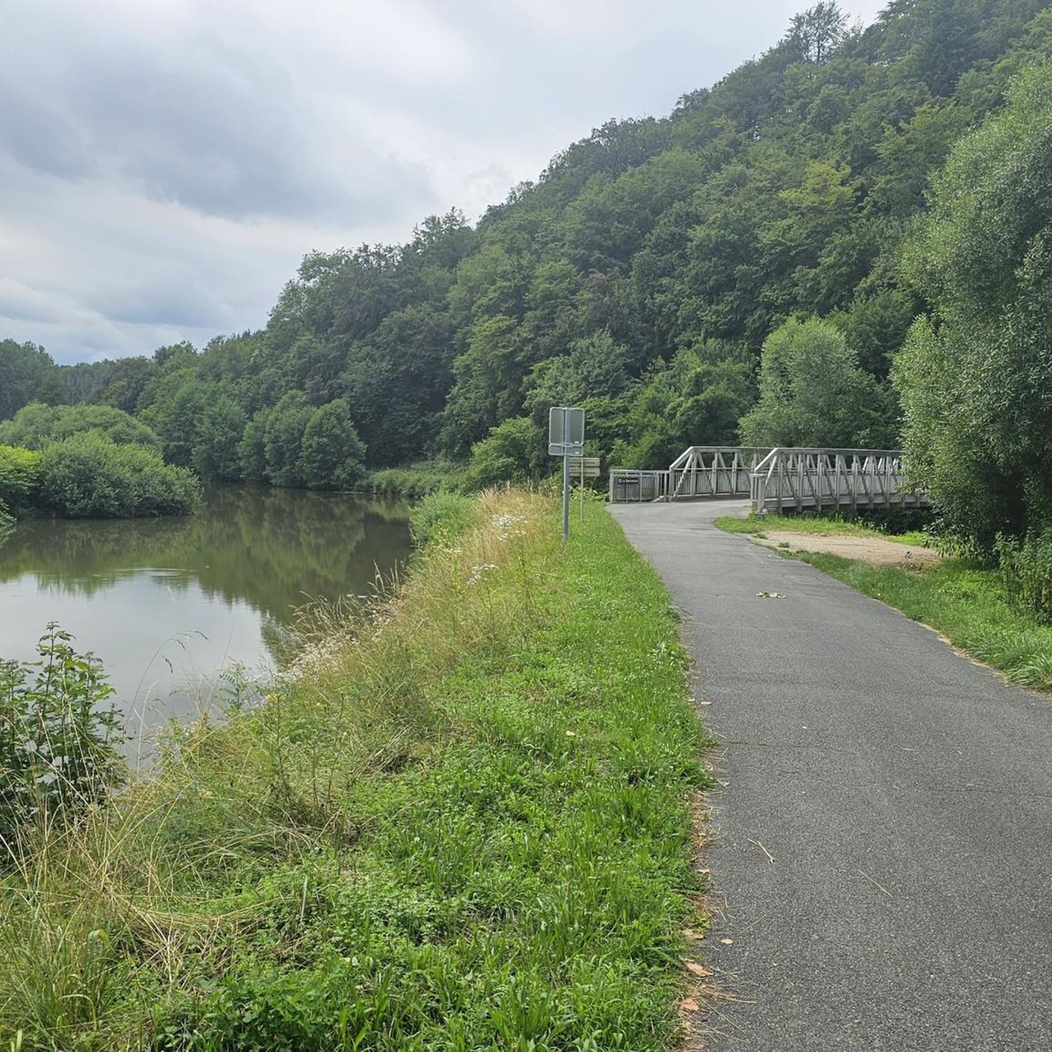
A "chemin de halage", in German "treidelpfad", which runs alongside the waterway right next to the bed of the river or canal, was an indispensable part of the transport infrastructure in earlier times. Before ships could move using motor power, horses ran along the bank and pulled the ship against the current. This was called "treideln", and this is how the "treidelpfads" got their name, which has been passed down to this day. Where these paths directly on the bank have been preserved, they are often used by hikers and cyclists.
0
1

Beautiful scenery and nice cycle path.
0
0
Beautiful cycle path along the canal, very pleasant cycling, even if the asphalt is a bit old.
0
0

Very nice and quiet place.
0
0
It's a very nice and easy bike ride.
0
0

An endlessly beautiful cycle path along the Haute-Saône Canal
2
0
Nice bike path and beautiful scenery.
0
2
Beautiful cycle path along the canal, the motorway is a bit annoying, but the landscape is relaxing and the weather should be good too.
1
0
Frequently Asked Questions
What kind of terrain can I expect on the running routes around Böll?
The running routes around Böll offer a diverse mix of terrain. You'll find open field paths, natural forest environments, and sections that traverse varied landscapes. Some paths feature gentle elevation changes, while others provide more challenging ascents with panoramic views. The area is characterized by a blend of agricultural land and wooded areas, providing a natural setting for your run.
Are there any easy or beginner-friendly running routes in the Böll area?
While most routes are rated as moderate, the area does offer options suitable for various fitness levels. For a moderate run with gentle elevation changes, consider the Running loop from Meroux-Moval, which is 3.3 miles (5.3 km) long. It's a great way to experience the local scenery at a consistent pace.
What are some scenic viewpoints or natural features I can see while jogging around Böll?
Many routes offer scenic views, especially those traversing higher ground. You can enjoy diverse landscapes including forest and field paths. For specific points of interest, consider routes that pass near the Montbéliard–Haute-Saône Canal beside the Allan or the Canal du Rhône au Rhin, offering pleasant waterside views. Some trails also provide glimpses of historical elements like bunkers and monuments, adding a unique dimension to your run.
Are there any circular running routes available in Böll?
Yes, many of the running routes in Böll are designed as loops, allowing you to start and finish at the same point. For example, the popular Running loop from Bourogne is a moderate 4.0 miles (6.4 km) circular path, offering a mix of open and wooded sections. Another option is the Ouvrage de Moval loop from Meroux-Moval, which is 7.9 km.
What do other runners think about the trails in Böll?
The running routes in Böll are highly regarded by the komoot community, with an impressive average rating of 4.6 stars from over 70 reviews. Runners often praise the varied terrain, the mix of open fields and natural forests, and the well-maintained paths that cater to different ability levels.
Are there any historical landmarks or attractions near the running trails?
Yes, the region around Böll has several historical sites. While jogging, you might pass by areas with historical significance. For specific landmarks, you could explore routes near the Citadel of Belfort or the Fort de Vézelois. The Lion of Belfort is another notable attraction in the vicinity.
How many running routes are available in the Böll region?
There are over 15 dedicated running routes available in the Böll region, catering to various preferences and fitness levels. These include 16 moderate routes and 1 difficult route, ensuring there's something for everyone from casual joggers to more experienced runners.
Are there any longer, more challenging running routes for experienced runners?
Yes, for those seeking a longer and more challenging run, the La Coulée Verte – Mouth of the Allan loop from Bourogne is an excellent choice. This difficult 14.0 miles (22.5 km) trail leads through diverse landscapes and typically takes about 2 hours 20 minutes to complete, offering a significant workout.
What are some natural water features near the running routes?
The running routes in Böll offer proximity to several natural water features. You can find sections along the Montbéliard–Haute-Saône Canal beside the Allan and the Canal du Rhône au Rhin, providing pleasant waterside running experiences. The region's diverse landscapes also include areas that feature the Rur valley.
Can I find routes that combine running with exploring historical sites?
Absolutely. The Böll region is rich in history, and some running routes can be combined with visits to historical sites. For instance, you might find trails that offer views of or pass near fortifications like the Mont Vaudois Fort or the impressive Citadel of Belfort, allowing you to blend your workout with cultural exploration.
What is the typical elevation change on running trails in Böll?
The elevation changes on running trails in Böll vary, offering options for different preferences. Many moderate routes feature gentle ascents and descents, such as the Running loop from Meroux-Moval with about 45 meters of elevation gain. Longer and more challenging routes, like the La Coulée Verte – Mouth of the Allan loop from Bourogne, can have over 120 meters of elevation gain, providing a more strenuous workout.
Most popular attractions around Böll

Get inspired with the komoot mobile app


Explore more
Browse the best Running Trails & Routes in other regions.
