The best walks and hikes around Kaltenbrunn
4.5
(292)
1,833
hikers
196
hikes
Hiking around Kaltenbrunn provides access to a varied landscape of woodlands, open countryside, and canal paths. The terrain is generally gentle, with modest elevation changes, making it suitable for a range of abilities. Hikers can explore natural areas and historical features throughout the region.
Best hiking trails around Kaltenbrunn
- The most popular hiking route is Duchess's Wood Loop, a 4.6 miles (7.4 km) trail that takes 2 hours 3 minutes to complete. This moderate route leads through established woodlands. …
Last updated: July 5, 2026
5.0
(3)
23
hikers
7.44km
02:03
130m
130m
Moderate hike. Good fitness required. Easily-accessible paths. Suitable for all skill levels.
3.7
(3)
15
hikers
9.05km
02:20
50m
50m
Moderate hike. Good fitness required. Easily-accessible paths. Suitable for all skill levels.

Sign up for free
4.8
(5)
11
hikers
4.85km
01:20
80m
80m
Easy hike. Great for any fitness level. Easily-accessible paths. Suitable for all skill levels.
5.0
(1)
6
hikers
5.02km
01:17
20m
20m
Easy hike. Great for any fitness level. Easily-accessible paths. Suitable for all skill levels.
4.0
(2)
9
hikers
9.05km
02:22
60m
70m
Moderate hike. Good fitness required. Easily-accessible paths. Suitable for all skill levels.
Get access to more routes and recommendations from other explorers.
Sign up for free
Already have an account?
Our route recommendations are based on thousands of hikes, rides, and runs completed by other people on komoot.
Start today with a free account
Your next adventure awaits.
Login or Signup


Tips from the Community

Iconic oak tree, creatively decorated like a hobbit treehouse with painted wooden boards. The rest area has picnic tables and sunny and shady spots.
2
0

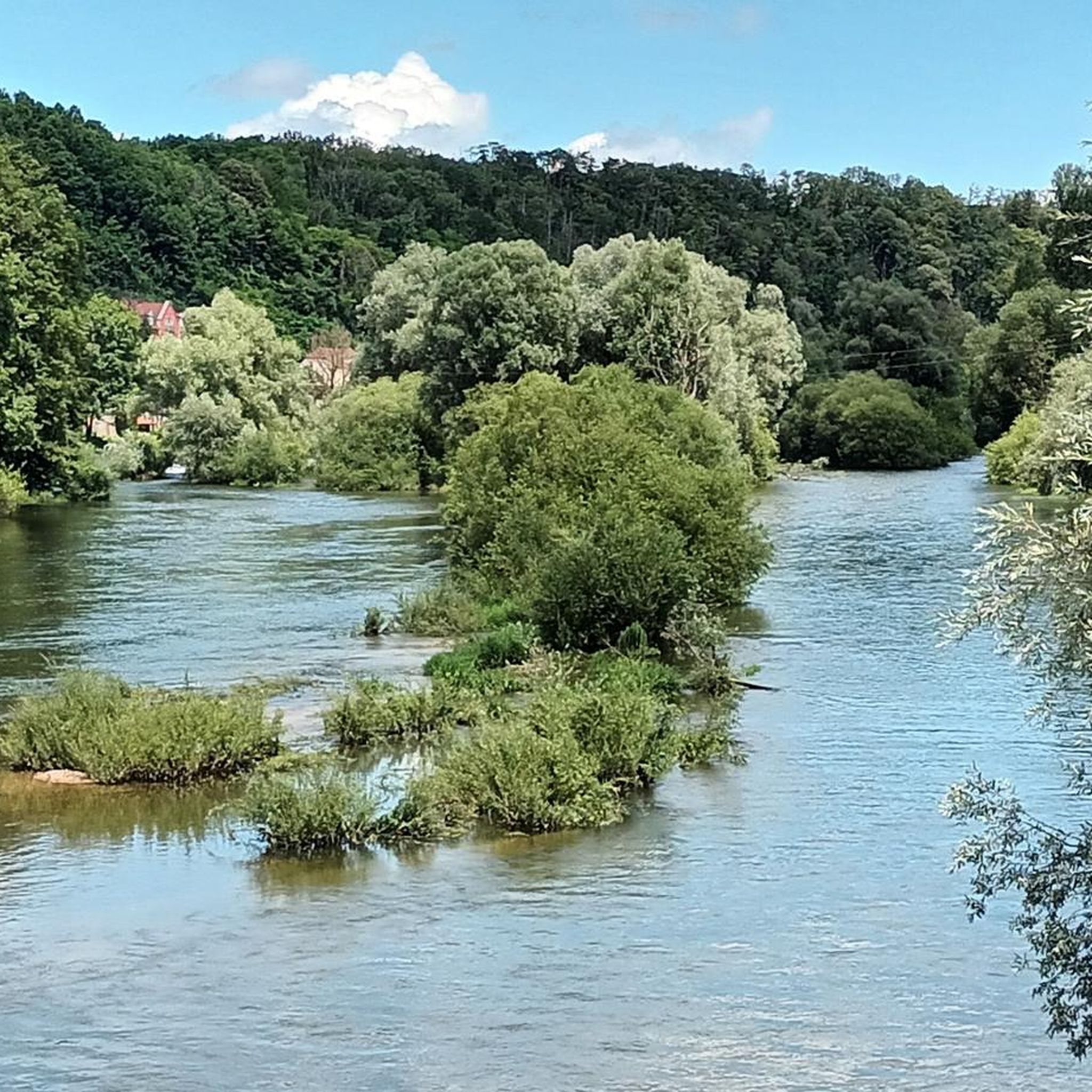
Sunny picnic area on the banks of the Bourbeuse
0
0

The petrifying spring is very rich in carbon dioxide and calcium carbonate, which gives it the ability to encrust objects with a layer of calcite. You can see some examples of petrified objects along the path to the spring. The spring also forms beautiful, gentle waterfalls of tuff, a type of limestone. The site is classified Natura 2000 for the protection and preservation of fauna and flora. Please respect the environment and do not disturb the wildlife.
2
0
The Château wash house is a 19th century laundry room and wash house which is classified as a historic monument. The wash house is located near the Château de Scey-sur-Saône-et-Saint-Albin, a medieval castle which was renovated in the 18th and 19th centuries. You can admire the architecture of the wash house which includes a wooden drying room with shutters and seven monumental arches. You can also enjoy the peaceful atmosphere of the pond and the fountain which feed the wash house.
2
0

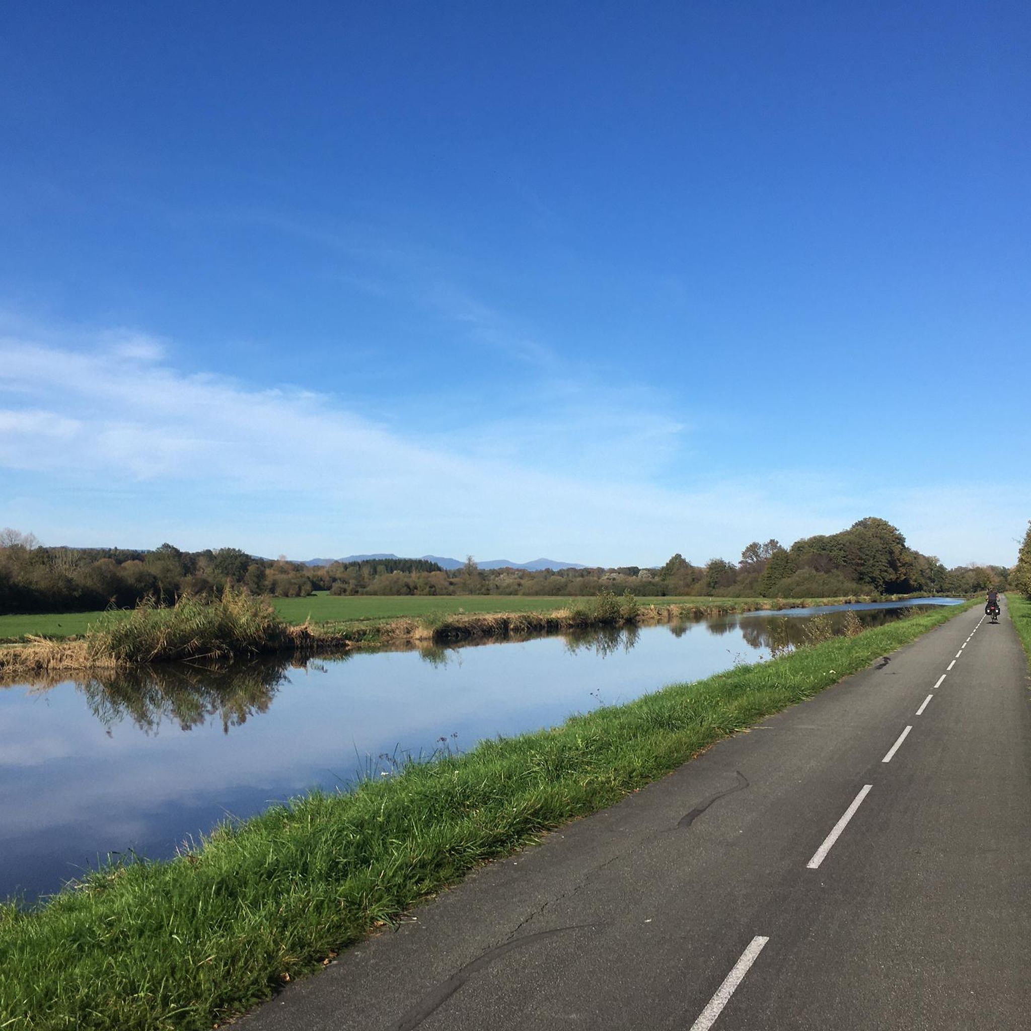
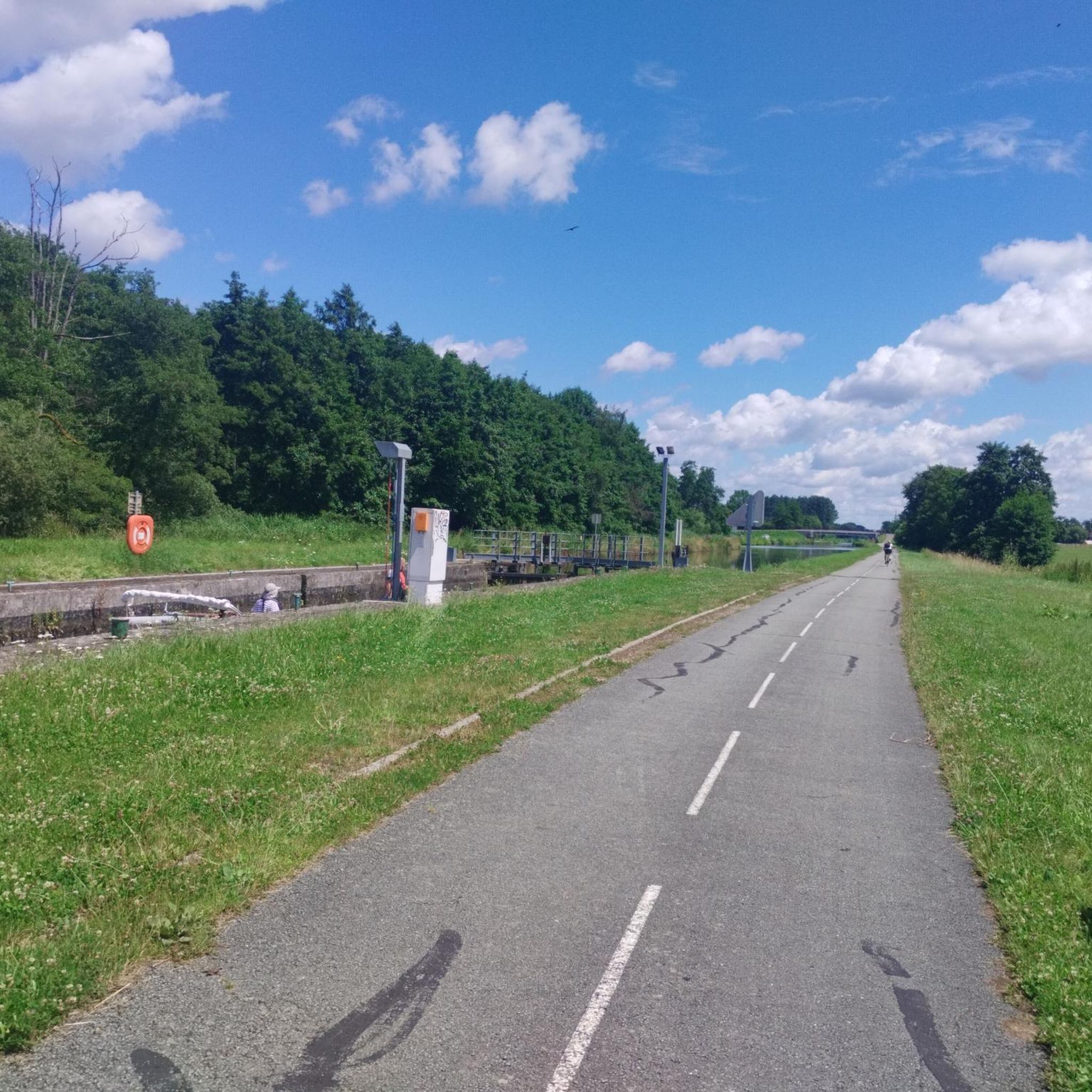
The Canal du Rhone au Rhin is repeatedly crossed by bridges.
0
0

History: The history of Novillard begins before 1251 but it is only on this date that we find the name of the village mentioned in an act concerning the priory of Froidefontaine in the form of Nueviller. The stronghold was part of the seigniory of Rougemont-le-Château in 1125, when Frederick I of Ferrette endowed the monastery of Valdieu, currently in the department of Haut-Rhin. A church then existed in Novillard, whose parish also included Eschêne, Autrage and Rechotte, all three currently grouped together in the commune of Autrechêne. Novillard was also the chief town of a town hall depending on the seigniory of Rougemont (of which it marked the southern limit) then the provostship of Angeot, seigniory of Belfort. The fate of the village generally follows that of the surrounding villages: attachment to the domains of the House of Austria from 1350 to 1648. The Saint-Julien church was built in the 1770s. In 1803 the population was 171 inhabitants, and 210 in the 1999 census. The activity of the commune is essentially agricultural.
0
0
The village is located southeast of Belfort, 11km from the latter. Its territory, which covers 116 hectares, is bordered to the north by the Belfort-Mulhouse railway line. It is crossed by the small river La Madeleine which has its source in the Vosges massif, in the village of La Madeleine precisely. The average altitude is 350m. History: The history of Novillard begins before 1251 but it is only on this date that we find the name of the village mentioned in an act concerning the priory of Froidefontaine in the form of Nueviller. The stronghold was part of the seigniory of Rougemont-le-Château in 1125, when Frederick I of Ferrette endowed the monastery of Valdieu, currently in the department of Haut-Rhin. A church then existed in Novillard, whose parish also included Eschêne, Autrage and Rechotte, all three currently grouped together in the commune of Autrechêne. Novillard was also the chief town of a town hall depending on the seigniory of Rougemont (of which it marked the southern limit) then the provostship of Angeot, seigniory of Belfort. The fate of the village generally follows that of the surrounding villages: attachment to the domains of the House of Austria from 1350 to 1648. The Saint-Julien church was built in the 1770s. In 1803 the population was 171 inhabitants, and 210 in the 1999 census. The activity of the commune is essentially agricultural.
1
0
the first stone was laid in 1748 and the building was inaugurated in 1769. This church is original because it belongs to the two communes of Novilkard and Autrechene.
0
0
Frequently Asked Questions
How many hiking trails are available around Kaltenbrunn?
There are over 180 hiking routes available around Kaltenbrunn, offering a wide variety of experiences. This includes more than 100 easy trails and 70 moderate options, catering to different fitness levels.
What kind of terrain can I expect on hikes near Kaltenbrunn?
The hiking trails around Kaltenbrunn feature a varied landscape, including woodlands, open countryside, and paths alongside canals. The terrain is generally gentle with modest elevation changes, making it suitable for a range of abilities.
Are there easy hiking options in Kaltenbrunn?
Yes, Kaltenbrunn offers many easy hiking options. More than 100 of the available routes are classified as easy. An example is the Lavoir du Chateau – The Petrifying Spring loop from Bourogne, which is 2.9 miles (4.7 km) long and takes about 1 hour 16 minutes to complete.
Are there any circular walks available in Kaltenbrunn?
Yes, many trails in Kaltenbrunn are circular, allowing you to start and end at the same point. The Duchess's Wood Loop is a popular moderate circular route through woodlands, covering 4.6 miles (7.4 km).
What do other hikers say about the trails in Kaltenbrunn?
The trails in Kaltenbrunn are highly rated by the komoot community, with an average score of 4.4 stars from over 200 reviews. Hikers often praise the varied terrain, from woodlands to open fields, and the well-maintained paths.
Are there family-friendly hiking trails in Kaltenbrunn?
Many of the easy and moderate trails in Kaltenbrunn are suitable for families. The gentle terrain and varied landscapes, including canal-side paths, offer enjoyable outings for all ages. Consider routes with minimal elevation gain for younger children.
Can I bring my dog on the hiking trails in Kaltenbrunn?
Generally, dogs are welcome on most hiking trails in the Kaltenbrunn region. It's always recommended to keep your dog on a leash, especially in areas with wildlife or near livestock, and to carry waste bags. Always check local signage for specific restrictions.
What interesting landmarks or attractions can I see near the hiking trails?
Around Kaltenbrunn, you can explore various historical and natural attractions. Highlights include the impressive Citadel of Belfort and the Miotte Tower. You can also find scenic spots along the Montbéliard–Haute-Saône Canal.
Are there any routes that pass by water features like springs or canals?
Yes, the region features several routes that incorporate water features. The Lavoir du Chateau – The Petrifying Spring loop from Bourogne specifically leads through natural springs. Additionally, many trails follow the scenic canal paths, such as the Canal brebote - bourogne loop from Froidefontaine.
What is the best time of year to go hiking in Kaltenbrunn?
Spring, summer, and autumn generally offer the best conditions for hiking in Kaltenbrunn, with pleasant temperatures and vibrant scenery. While winter hiking is possible, some paths might be muddy or icy, so appropriate gear is recommended.
Are there any hikes that offer views of local wildlife?
The woodlands and open countryside around Kaltenbrunn provide opportunities for wildlife spotting. Keep an eye out for local birds and small mammals, especially during quieter times of the day. The Cows in the Countryside – Other oak loop from Autrechêne traverses open areas where you might encounter livestock and other animals.
Are there places to stop for refreshments along the trails?
While specific cafes directly on every trail might be limited, many routes pass through or near villages where you can find local establishments for refreshments. Planning your route in advance and checking for amenities in nearby towns is advisable.
Most popular routes around Kaltenbrunn
Most popular attractions around Kaltenbrunn

Get inspired with the komoot mobile app


Explore more
Browse the best Hikes in other regions.
