The best walks and hikes around Hanendorf
4.4
(226)
1,182
hikers
119
hikes
Hiking around Hanendorf offers a diverse range of trails, primarily featuring loops around local water bodies such as the Étang Verchat and sections of the Canal du Rhône au Rhin. The terrain is generally gentle, with minimal elevation changes, making it accessible for various activity levels. The region provides a mix of paths suitable for leisurely walks and slightly more challenging routes.
Best hiking trails around Hanendorf
- The most popular hiking route is Étang Verchat loop from Boron, a…
Last updated: July 5, 2026
4.6
(7)
38
hikers
8.81km
02:19
80m
80m
Moderate hike. Good fitness required. Easily-accessible paths. Suitable for all skill levels.
4.5
(2)
45
hikers
2.26km
00:35
10m
10m
Easy hike. Great for any fitness level. Easily-accessible paths. Suitable for all skill levels.

Sign up for free
5.0
(1)
11
hikers
8.23km
02:07
40m
40m
Moderate hike. Good fitness required. Easily-accessible paths. Suitable for all skill levels.
5.0
(2)
9
hikers
6.01km
01:31
10m
10m
Easy hike. Great for any fitness level. Easily-accessible paths. Suitable for all skill levels.
3.7
(3)
8
hikers
Moderate hike. Good fitness required. Easily-accessible paths. Suitable for all skill levels.
Get access to more routes and recommendations from other explorers.
Sign up for free
Already have an account?
Our route recommendations are based on thousands of hikes, rides, and runs completed by other people on komoot.
Start today with a free account
Your next adventure awaits.
Login or Signup

Tips from the Community

There are also toilets and a water point
0
0

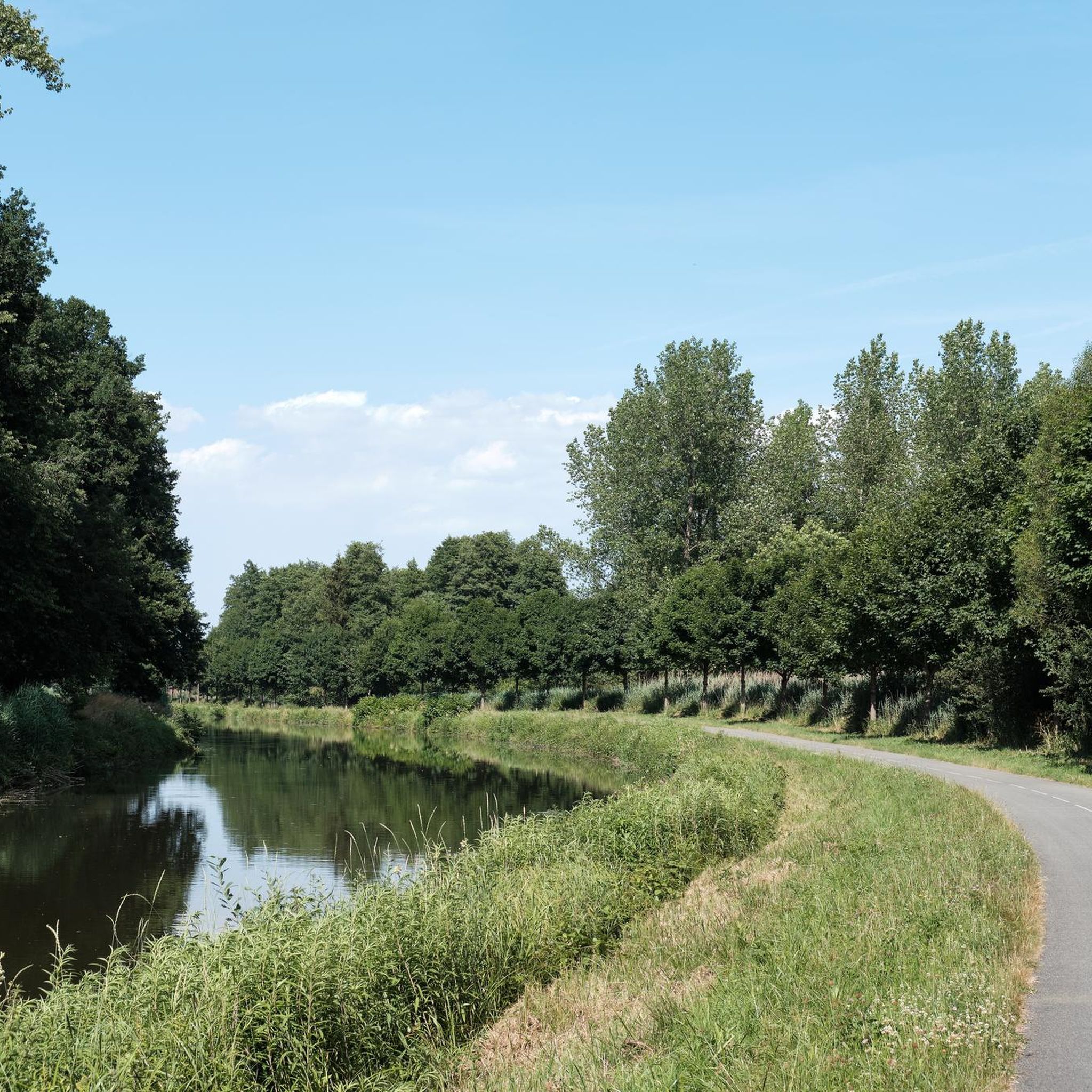
Nice cycle path next to the Rhône canal.
0
0

Canal towpath converted into a cycle path, quiet and smooth. Be attentive, you may be lucky enough to see storks or other beautiful bird specimens.
0
0

Cycle highway at its finest. You move forward quickly.
1
0

The Canal du Rhone au Rhin is repeatedly crossed by bridges.
0
0
A true "highway" along the canal. The EV6 can be driven in the direction of Nantes in a completely relaxed manner.
1
0
Wonderful bike path along the Canal du Rhone au Rhin. Quiet place to take a break.
2
0

Popular mooring with picturesque boats often at this lock with a rise of 3.2 m.
7
1
Frequently Asked Questions
What types of hiking trails can I expect around Hanendorf?
Hiking around Hanendorf primarily features loops around local water bodies like the Étang Verchat and sections of the Canal du Rhône au Rhin. The terrain is generally gentle with minimal elevation changes, making it accessible for various activity levels, from leisurely walks to slightly more challenging routes.
Are there any easy hiking trails suitable for beginners or a relaxed stroll?
Yes, Hanendorf offers many easy trails. For a gentle walk, consider the Étang Verchat loop from Joncherey, which is an easy 1.4 miles (2.3 km) path. Overall, 66 out of 113 tours in the area are classified as easy.
Can I find circular hiking routes in Hanendorf?
Yes, circular routes are a prominent feature of hiking in Hanendorf. Many trails are designed as loops, such as the popular Étang Verchat loop from Boron and the Montreux-Château Town Hall loop from Montreux-Château, allowing you to start and end at the same point.
What is the typical duration for hikes in Hanendorf?
Hike durations vary depending on the route. For example, the Étang Verchat loop from Boron typically takes about 2 hours 20 minutes, while the shorter Étang Verchat loop from Joncherey can be completed in about 35 minutes. There are options for quick outings or longer excursions.
Are there any attractions or points of interest along the hiking trails?
Yes, several points of interest can be found near the trails. You might encounter the Port of Dannemarie, the Valdieu-Lutran lock scale, or sections of the Canal du Rhône au Rhin. These offer glimpses into local infrastructure and natural waterways.
What do other hikers say about the trails in Hanendorf?
The hiking routes in Hanendorf are highly rated by the komoot community, with an average score of 4.2 stars from over 170 reviews. Hikers often praise the tranquil lake loops and canal-side paths, highlighting the network of routes suitable for different ability levels.
Are there any moderate hiking options for those looking for a bit more challenge?
Yes, Hanendorf offers 44 moderate trails. The Canal du Rhône au Rhin – Montreux-Château Town Hall loop from Bretagne is a good example of a moderate route, covering about 7.8 km and typically taking around 2 hours to complete.
What is the best time of year to go hiking in Hanendorf?
While the guide data doesn't specify seasonal recommendations for Hanendorf, regions with similar landscapes often offer pleasant hiking experiences in spring and autumn due to milder temperatures and vibrant natural colors. Summer can also be enjoyable, especially for walks along water bodies.
Are there any trails that follow canals or rivers?
Absolutely. Many routes in Hanendorf incorporate sections along the Canal du Rhône au Rhin. For instance, the Canal brebote - bourogne loop from Brebotte offers a pleasant 6 km walk along the canal, ideal for enjoying the waterways.
How many hiking trails are available in the Hanendorf area?
There are over 110 hiking trails available in the Hanendorf area, offering a wide variety of options for different preferences and fitness levels.
Are there any trails that offer scenic views or viewpoints?
While specific named viewpoints are not detailed in the guide data for Hanendorf, the trails around Étang Verchat and along the Canal du Rhône au Rhin provide picturesque scenery of water bodies and surrounding natural landscapes, offering tranquil and pleasant views throughout your hike.
Most popular routes around Hanendorf
Most popular attractions around Hanendorf

Get inspired with the komoot mobile app


Explore more
Browse the best Hikes in other regions.
