The best mountain hikes around Sapois
4.8
(19)
35
hikers
7
hikes
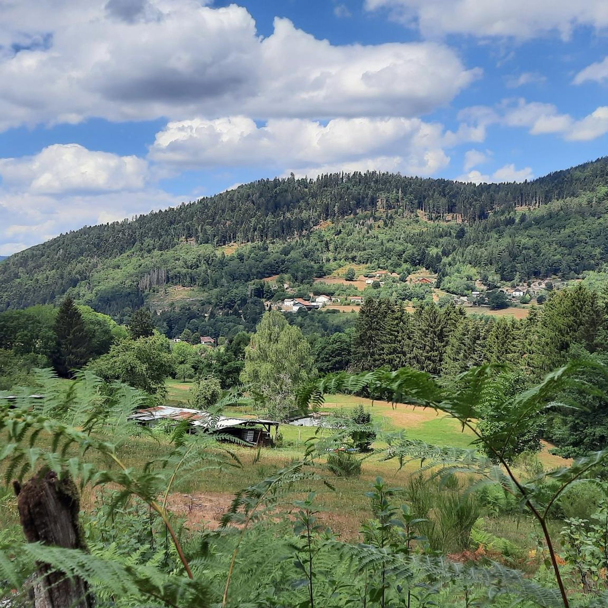
Mountaineering routes around Sapois are situated in a region characterized by forested hills, clear mountain lakes, and notable waterfalls, offering a challenging terrain for experienced adventurers. The landscape features significant elevation changes, with routes often leading through dense woodlands and past natural water features. This area provides a rugged environment for those seeking demanding ascents and descents.
Best mountaineering routes around Sapois
- The most popular mountaineering route is Iron spring – Mérelle Waterfall loop from Gérardmer, a 3.0 miles…
Last updated: October 8, 2026
5.0
(4)
10
hikers
4.82km
01:48
230m
230m
Hard mountaineering route. Great for any fitness level. Sure-footedness, sturdy shoes and alpine experience required.
4.0
(2)
7
hikers
13.6km
04:06
300m
300m
Hard mountaineering route. Good fitness required. Sure-footedness, sturdy shoes and alpine experience required.

5.0
(1)
4
hikers
3.22km
01:23
210m
210m
Hard mountaineering route. Great for any fitness level. Sure-footedness, sturdy shoes and alpine experience required.
5.0
(3)
3
hikers
11.9km
04:15
580m
590m
Hard mountaineering route. Good fitness required. Sure-footedness, sturdy shoes and alpine experience required.
5.0
(4)
4
hikers
4.65km
01:48
230m
230m
Hard mountaineering route. Great for any fitness level. Sure-footedness, sturdy shoes and alpine experience required.
Get access to more routes and recommendations from other explorers.
Already have an account?
Our route recommendations are based on thousands of hikes, rides, and runs completed by other people on komoot.
Start today with a free account
Your next adventure awaits.
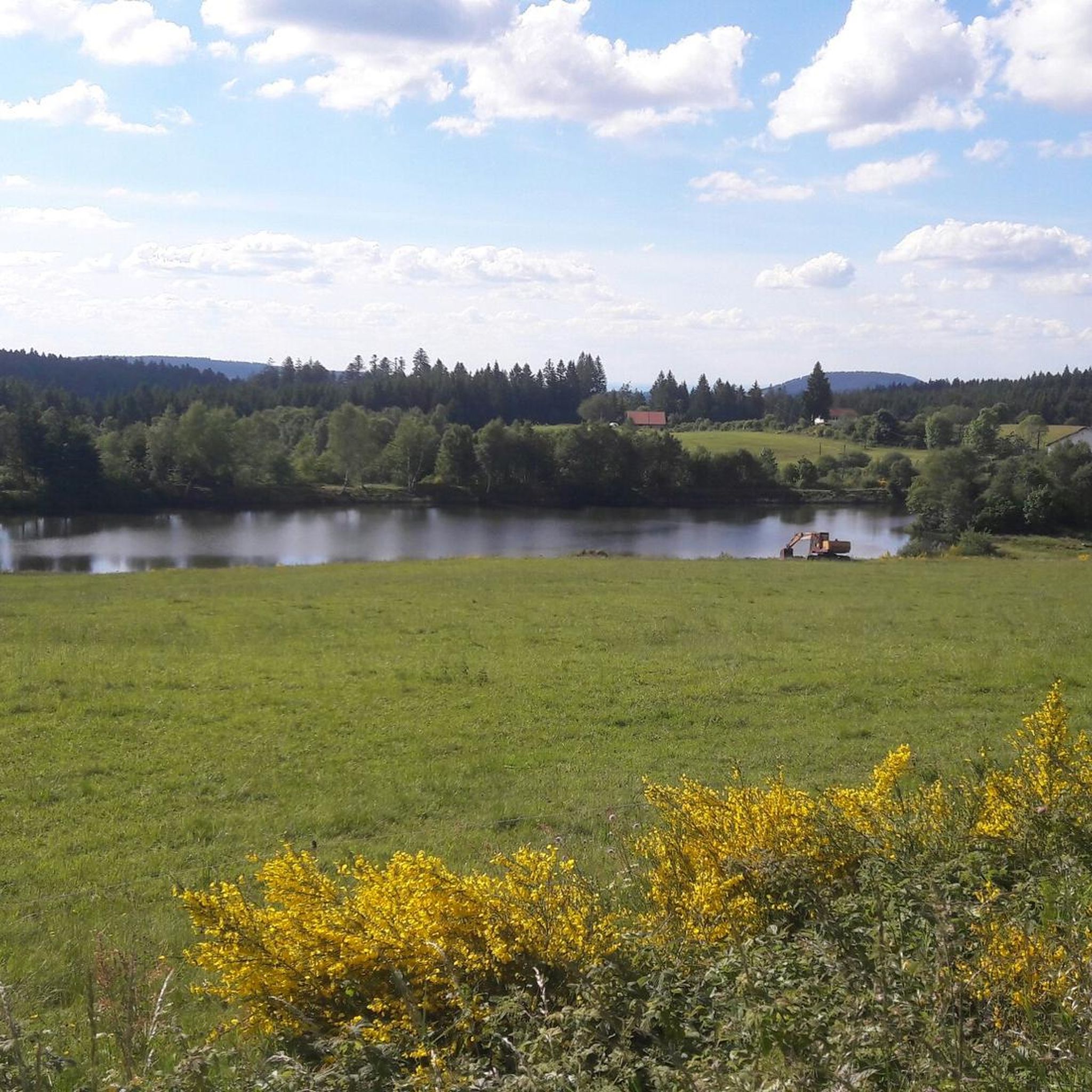
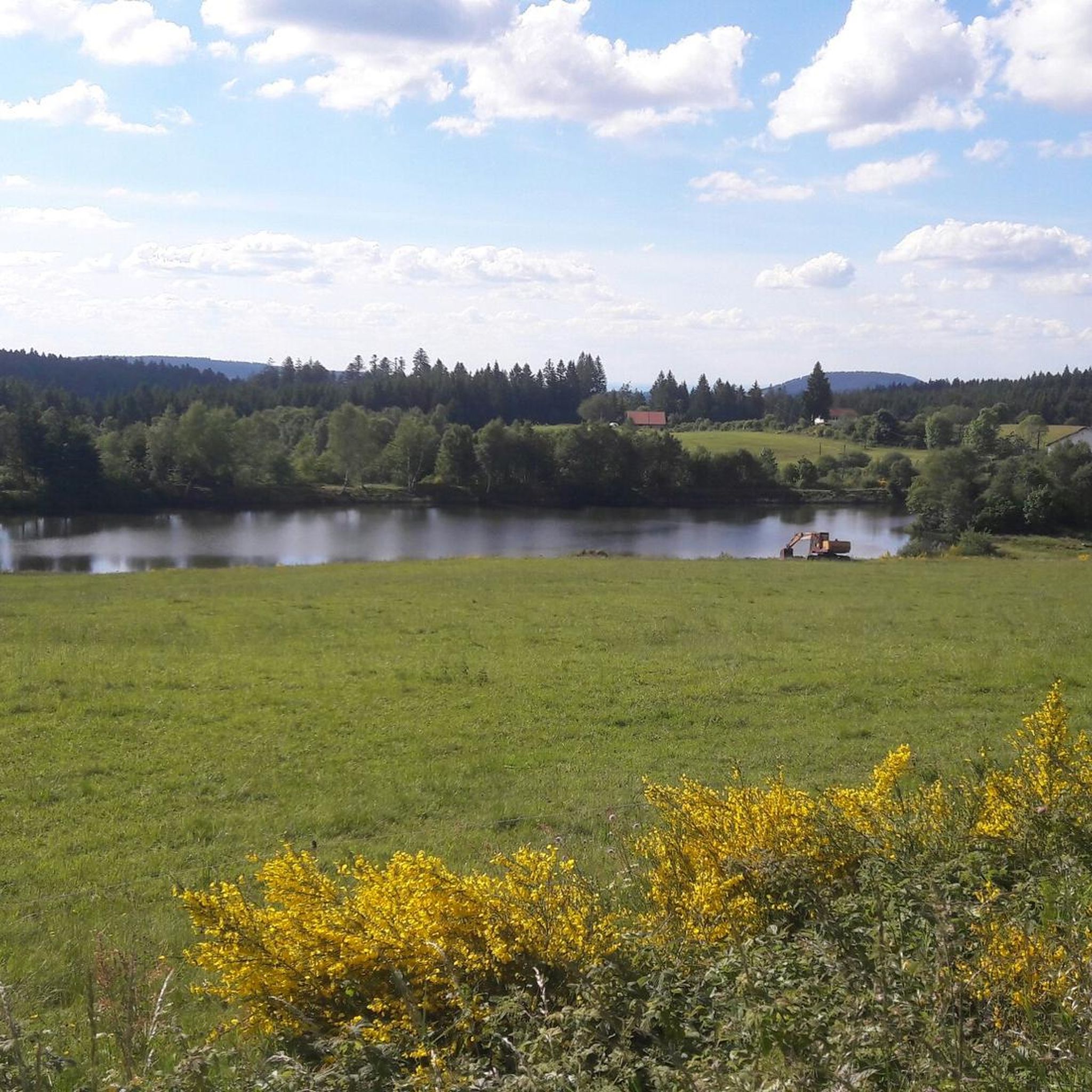
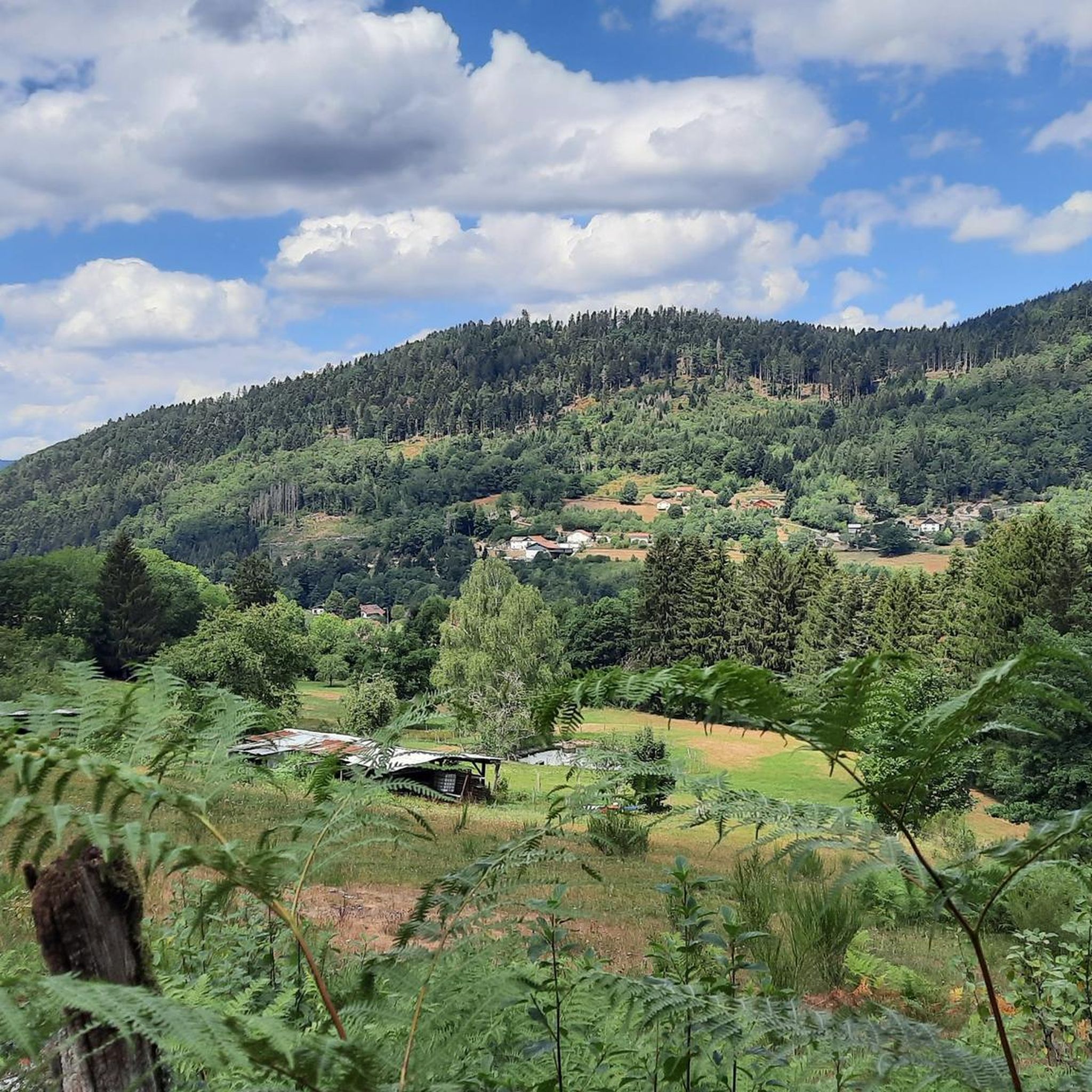
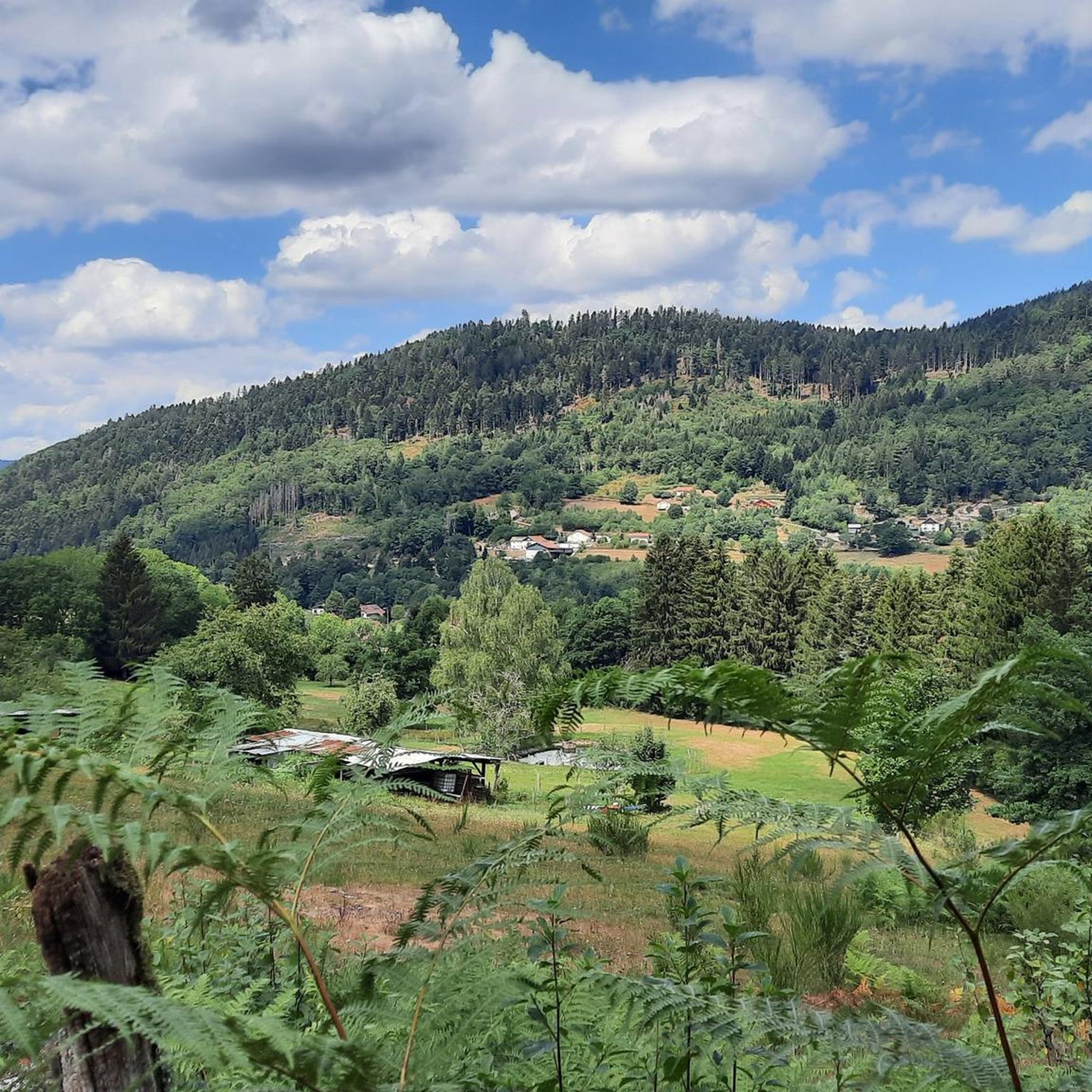

Tips from the Community

To get there, the trail is a bit steep.
0
0


This is and has been one of the most beautiful hikes in decades – a mystical (fairy) forest with a picturesque gorge through which a clear stream meanders, burbling and gurgling! Truly, simply beautiful – nature that captivates, fascinates, and casts its spell...!!! Again and again...
2
0

very nice view of the Lac de Corbeaux
1
0

Great view of the lake. If you don't like the technical part, you can safely reach the viewpoint via my descent route, or simply bypass it. In my opinion, the approximately 100 meters of secured trail before the Roche du Lac are only really dangerous for inexperienced hikers who lack surefootedness and a head for heights.
3
0

It will be longer than you anticipate but indeed nice to climb. Pretty steep though (averaging 8%!)!
1
0
Frequently Asked Questions
How many mountaineering routes are available around Sapois?
There are 7 dedicated mountaineering routes around Sapois listed on komoot. These routes are generally considered difficult, offering a challenging experience for experienced adventurers.
Are there any easy mountaineering routes around Sapois for beginners?
The mountaineering routes around Sapois are primarily designed for experienced mountaineers, featuring significant elevation changes and rugged terrain. All 7 routes listed are rated as difficult, so beginners should exercise caution and consider their fitness levels.
What kind of terrain can I expect on mountaineering routes near Sapois?
The region around Sapois is characterized by forested hills, clear mountain lakes, and notable waterfalls. You can expect challenging terrain with demanding ascents and descents, often leading through dense woodlands and past natural water features.
Are there any circular mountaineering routes in Sapois?
Yes, many routes in the area are circular. For example, the Iron spring – Mérelle Waterfall loop from Gérardmer is a popular circular option that takes you past the Mérelle Waterfall. Another is the Donkey's Leap – Merelle Observatory loop from Gérardmer, offering expansive views.
Can I find routes that feature waterfalls or lakes?
Absolutely. The region is known for its natural water features. You can explore routes that pass by the impressive Mérelle Waterfall or the larger Great Tendon Waterfall. Several routes also lead past beautiful lakes like Lake Lispach or Lake Longemer.
Are there any viewpoints or observatories on the routes?
Yes, some routes offer fantastic panoramic views. The Donkey's Leap – Merelle Observatory loop from Gérardmer specifically includes the Merelle Observatory, providing expansive vistas of the surrounding landscape.
What do other mountaineers say about the routes in Sapois?
The mountaineering routes in Sapois are highly rated by the komoot community, with an average score of 4.8 stars from over 17 reviews. Mountaineers often praise the challenging nature of the trails and the beautiful natural scenery, including the dense woodlands and water features.
How long do mountaineering routes near Sapois typically take?
The duration of routes varies depending on their length and elevation. For instance, the Crows' Lake loop from Lac des Corbeaux, which is 2.0 miles (3.2 km), typically takes about 1 hour 22 minutes. Longer routes, like the Crows' Lake loop from Parking Bois des Lutins (7.3 miles / 11.8 km), can take around 4 hours 14 minutes.
What is the best season for mountaineering in Sapois?
The best season for mountaineering in Sapois is generally from late spring to early autumn (May to October) when the weather is more stable and trails are clear of snow. During these months, you can fully appreciate the forested hills and clear mountain lakes.
Are there any routes that pass through mountain passes?
Yes, the wider region around Sapois features several mountain passes that can be incorporated into longer mountaineering adventures. Notable passes include the Col de Bramont and the Virgin Pass, offering different challenges and scenic views.
Where can I find parking for mountaineering routes in Sapois?
While specific parking details vary by trailhead, many routes, such as the Crows' Lake loop from Parking Bois des Lutins, indicate starting points with available parking. It's advisable to check the individual route descriptions on komoot for precise parking information before your trip.
Are there any routes suitable for families with children?
Given that all listed mountaineering routes around Sapois are rated as difficult, they may not be suitable for young children or families seeking very easy walks. These trails involve significant elevation changes and rugged terrain, making them more appropriate for experienced and fit individuals.
Are permits required for mountaineering in Sapois?
Generally, permits are not required for mountaineering on established trails in the Sapois region. However, it's always good practice to check local regulations or park authority websites if you plan to venture into specific protected areas or nature reserves.
Most popular attractions around Sapois

Get inspired with the komoot mobile app


Explore more
Browse the best Mountain Hikes & Routes in other regions.
