The best road cycling routes around Gouttières
4.5
(15)
699
riders
136
rides
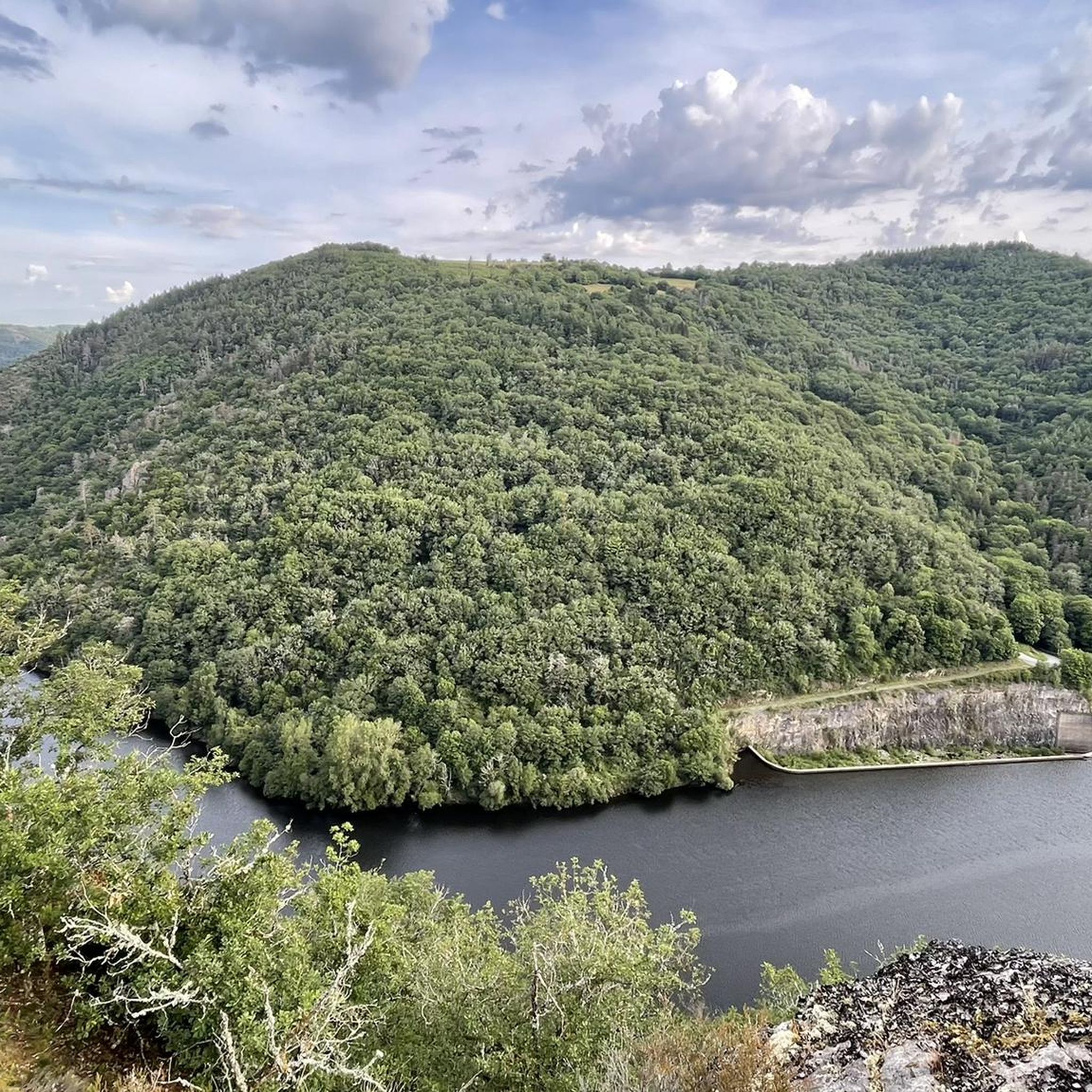
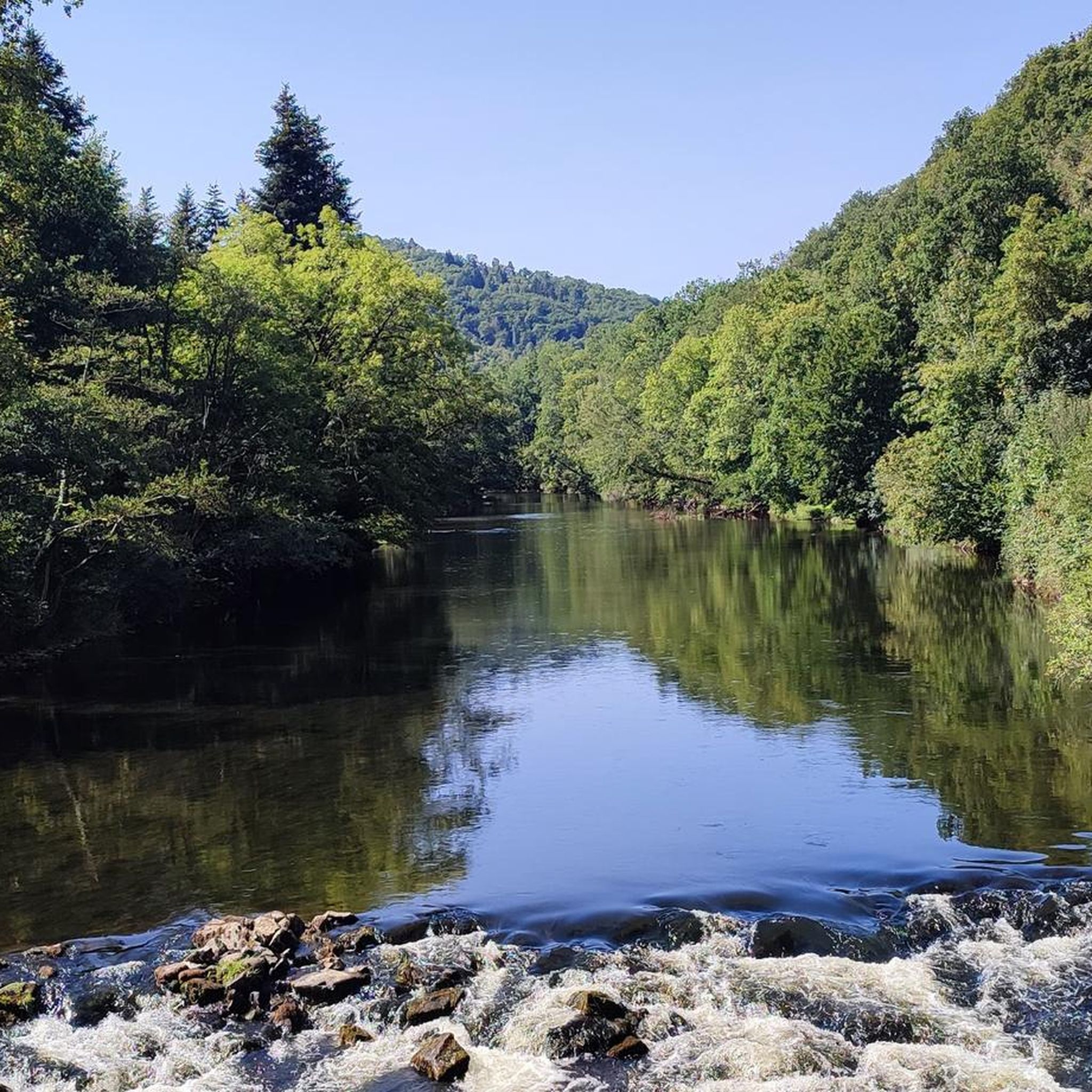
Road cycling routes around Gouttières traverse a diverse landscape within France's Auvergne-Rhône-Alpes region. The commune features varied topography with elevations ranging from 591 to 803 meters, providing both ascents and descents for road cyclists. Approximately 30% of the area is covered by woodlands, offering shaded sections and natural scenery. The presence of numerous small streams that feed into the Sioule River suggests routes through lush valleys.
Best road cycling routes around Gouttières
- The most popular road cycling route is Gour…
Last updated: November 1, 2026
15
riders
66.3km
03:24
1,120m
1,120m
Hard road ride. Very good fitness required. Some segments of this route may be unpaved and difficult to ride.
15
riders
49.9km
02:35
860m
870m
Moderate road ride. Good fitness required. Mostly well-paved surfaces and easy to ride.

15
riders
66.8km
03:13
960m
960m
Hard road ride. Very good fitness required. Mostly well-paved surfaces and easy to ride.
11
riders
54.0km
02:35
720m
730m
Moderate road ride. Good fitness required. Mostly well-paved surfaces and easy to ride.
12
riders
Moderate road ride. Good fitness required. Mostly well-paved surfaces and easy to ride.
Get access to more routes and recommendations from other explorers.
Already have an account?
Our route recommendations are based on thousands of hikes, rides, and runs completed by other people on komoot.
Start today with a free account
Your next adventure awaits.

Tips from the Community


Light on in the admittedly short tunnel which makes a slight bend, therefore really dark.
1
0

Beautiful old bridge. The bridge's base is completely paved with cobblestones.
0
0

It is not a Roman bridge but a Romanesque bridge and that makes a substantial difference of a few centuries!
0
0

Beautiful road with a nice view.
2
0

souvenir of the coal mines in Auvergne
0
0

The Chouvigny gorges follow the Sioule river, which has carved a deep and narrow gorge through the volcanic rocks of the Combrailles region. You'll enjoy views of lush greenery, towering cliffs and the medieval Chouvigny Castle, which dates from the 13th century. You can also stop at the village of Chouvigny, which has a rich history and charming atmosphere.
2
0
Frequently Asked Questions
How many road cycling routes are available in Gouttières?
Gouttières offers nearly 130 road cycling routes, catering to various skill levels. You'll find a wide selection, from moderate rides to more challenging climbs, with 79 moderate and 48 difficult routes available.
What kind of terrain can I expect when road cycling in Gouttières?
The region features varied topography, with elevations ranging from 591 to 803 meters. This means you can expect a mix of challenging ascents and enjoyable descents. Approximately 30% of the area is covered by woodlands, providing shaded sections and scenic views, while routes often follow lush valleys shaped by small streams feeding into the Sioule River.
Are there any challenging road cycling routes in Gouttières?
Yes, Gouttières is known for its varied topography, offering challenging climbs. For example, the Gour de Tazenat – View of Gour de Tazenat loop from Gouttières is a difficult 65.7 km route with over 1100 meters of elevation gain, providing a significant challenge for experienced cyclists.
What natural attractions can I see along the road cycling routes in Gouttières?
The region is rich in natural beauty. You can discover stunning waterfalls like the Cascade of the 3 Pools of Chambonnet, known as one of the best-kept secrets of Combrailles, or the Cascade de la Tine. The area's extensive woodlands and river valleys also offer picturesque scenery.
Are there any historical landmarks to explore near the cycling routes?
Yes, you can incorporate historical exploration into your cycling trip. The ruins of Château-Rocher offer a glimpse into the region's past. Another route, the Puits II Mining Monument – Château de Pionsat loop from Saint-Gervais-d'Auvergne, passes by the Puits II Mining Monument and Château de Pionsat.
What do other road cyclists say about Gouttières?
The road cycling routes in Gouttières are highly rated by the komoot community, with an average score of 4.6 stars from over 10 reviews. Cyclists often praise the diverse landscape, the mix of challenging climbs and scenic descents, and the natural, unspoiled environment of the woodlands and river valleys.
Are there any scenic viewpoints along the road cycling routes?
Yes, the varied topography of Gouttières offers several opportunities for scenic views. The Queuille Viewpoint is a notable spot to take in panoramic vistas of the surrounding landscape. Additionally, the Gour de Tazenat – View of Gour de Tazenat loop from Gouttières route specifically highlights views of Gour de Tazenat.
Can I find routes that follow river valleys or gorges?
Absolutely. The presence of numerous streams feeding into the Sioule River means many routes traverse lush valleys and gorges. The Pont de Menat – Gorges de la Sioule loop from Saint-Gervais-d'Auvergne and the Gorges de la Sioule – Pont de Menat loop from Saint-Gervais-d'Auvergne are excellent examples, leading directly through the scenic Gorges de la Sioule.
Are there any shorter, moderate road cycling options in the area?
Yes, Gouttières offers many moderate routes suitable for various fitness levels. For a shorter, moderate ride, consider the Braynant Bridge loop from Saint-Gervais-d'Auvergne, which is 26.4 km long and offers a pleasant cycling experience.
What is the best time of year to go road cycling in Gouttières?
Given the region's varied topography and extensive woodlands, spring and autumn generally offer pleasant temperatures and beautiful scenery for road cycling. Summer can also be enjoyable, especially on routes that pass through shaded wooded areas or along river valleys.
Are there any notable bridges or architectural sights along the routes?
Yes, the region features interesting architectural elements. The impressive Viaduc des Fades is a significant landmark that can be admired in the wider area, offering a striking sight for cyclists.
Most popular attractions around Gouttières

Get inspired with the komoot mobile app


Explore more
Browse the best Road cycling routes in other regions.
