The best running trails around Villars-Le-Sec
4.8
(17)
1,845
runners
218
runs
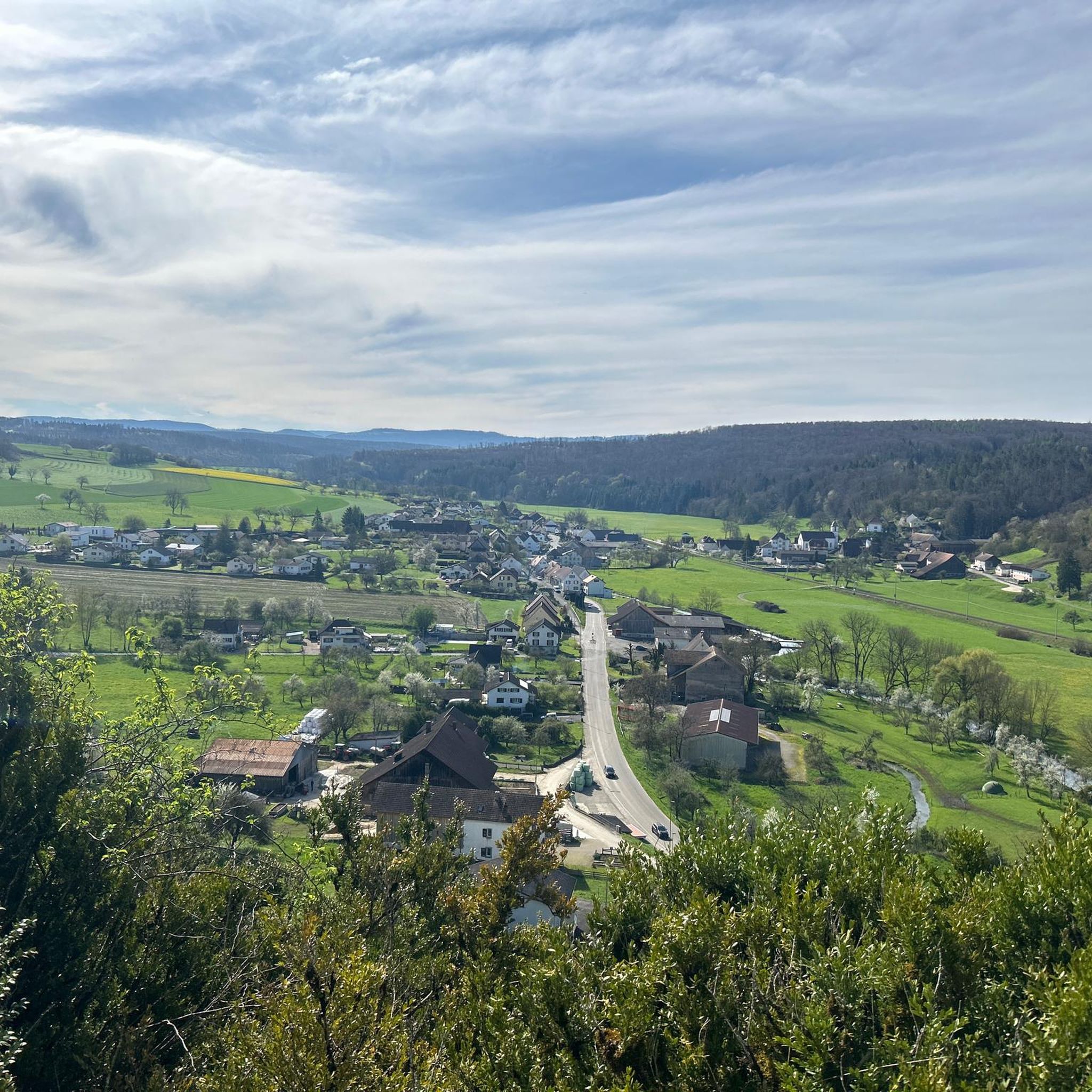
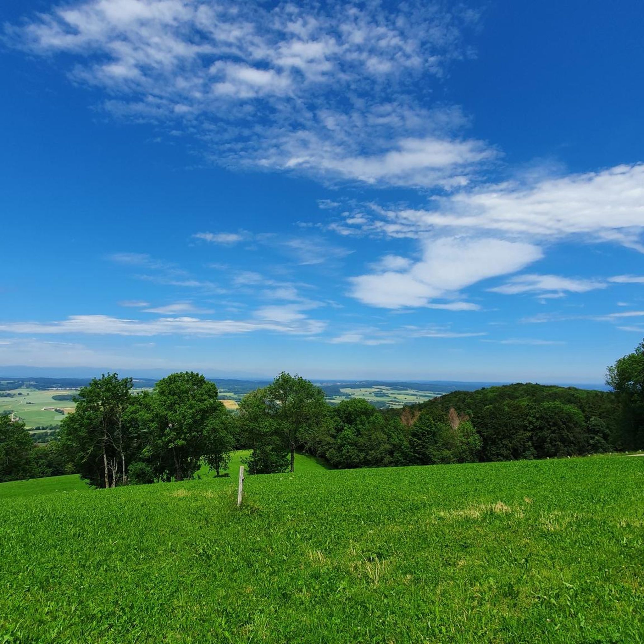
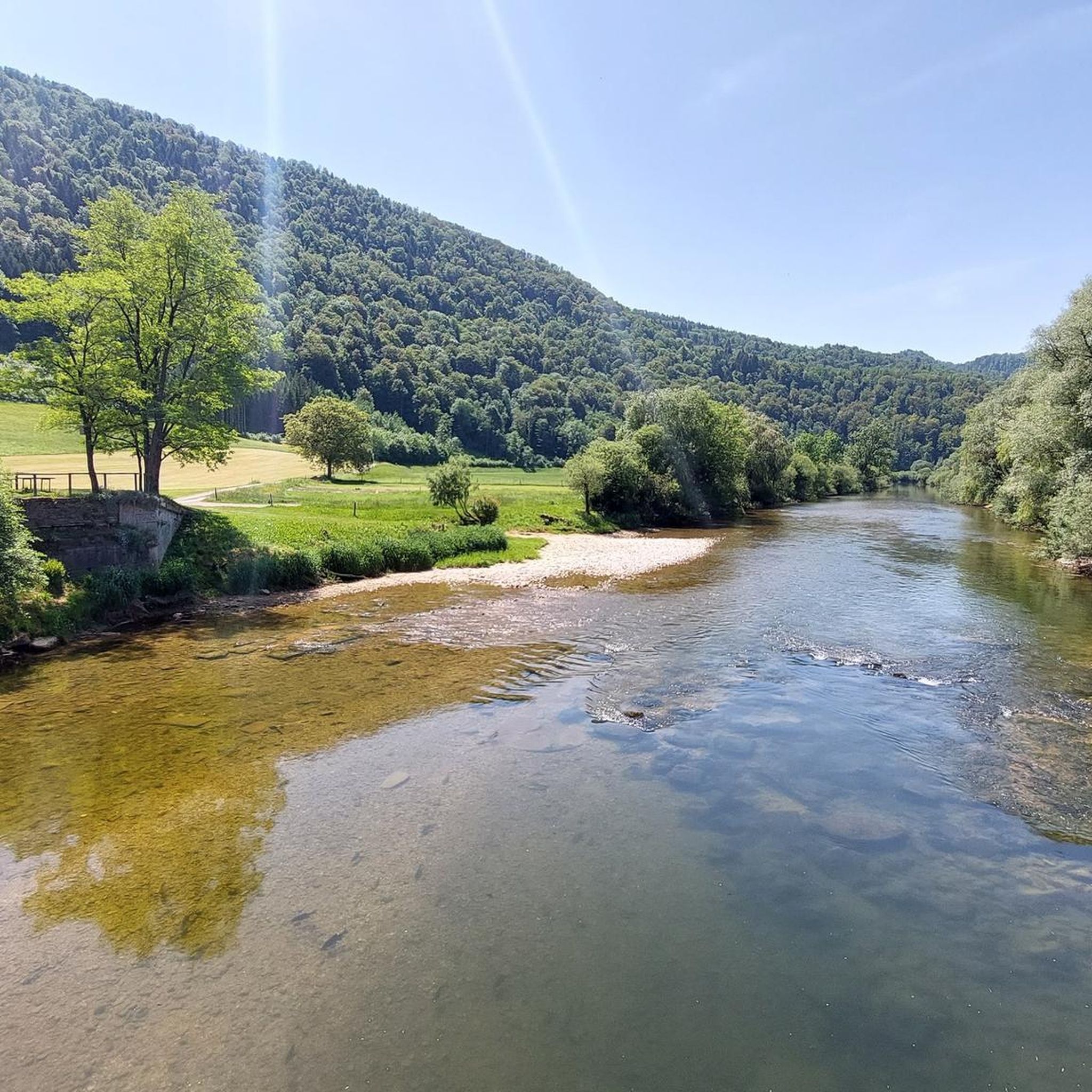
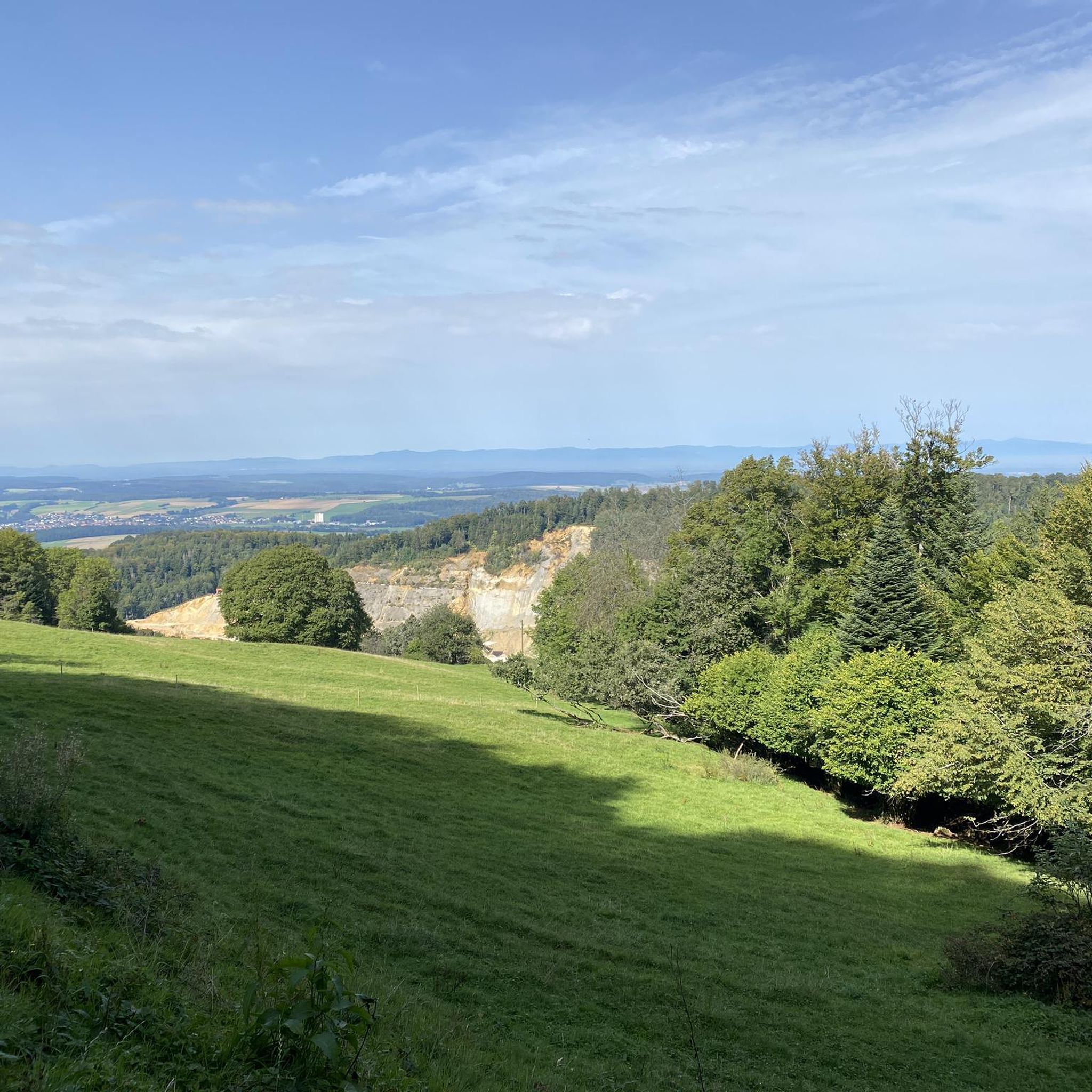
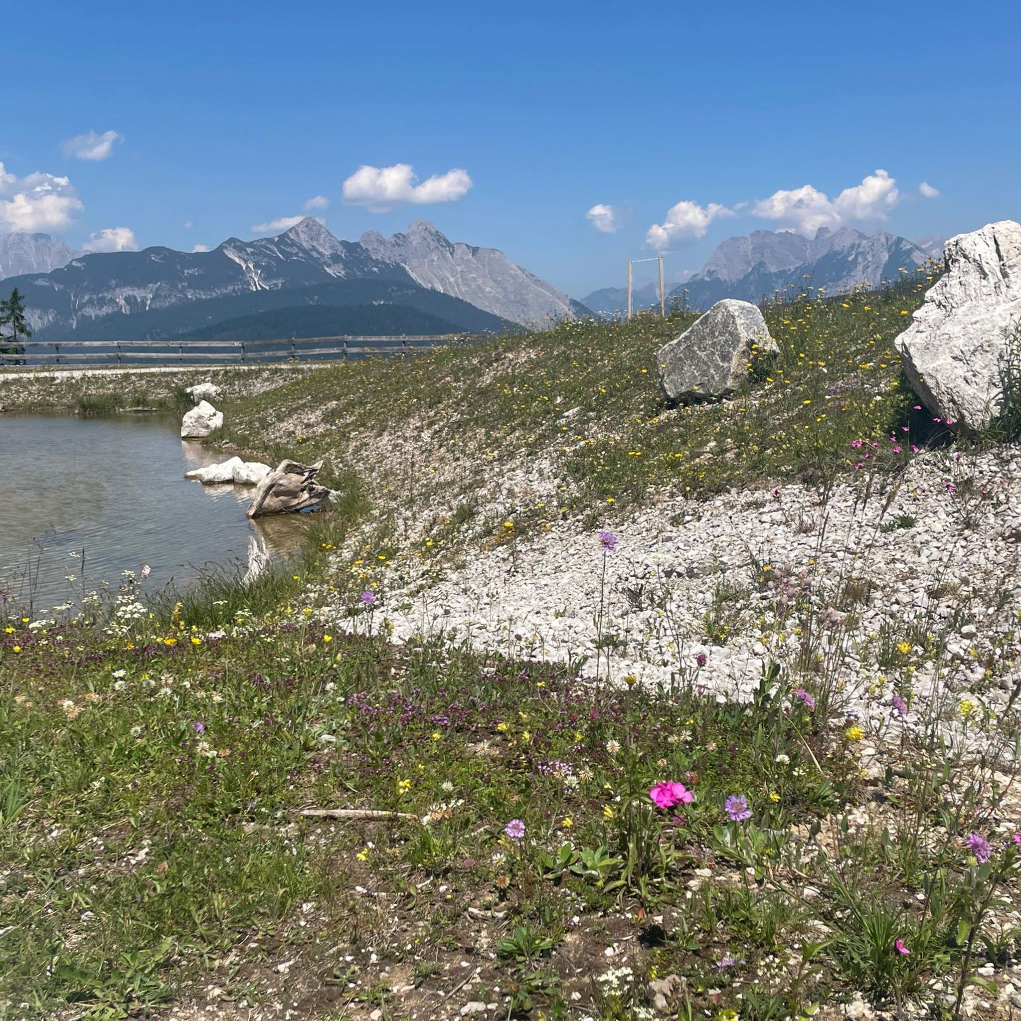
Jogging routes around Villars-Le-Sec are situated on a limestone plateau, offering a blend of cultivated countryside and forests. The area, located in the Territoire de Belfort department, features elevations ranging from 519 to 621 meters. Running trails often provide viewpoints over Saint-Dizier-l'Évêque, the Vosges mountains, and the Swiss plateau, with some routes incorporating historical Franco-Swiss border markers.
Best jogging routes around Villars-Le-Sec
- The most popular jogging route is Mont Renaud — loop — running from Boncourt, a 3.6 miles…
Last updated: July 6, 2026
2
runners
5.84km
00:44
130m
130m
Moderate run. Good fitness required. Mostly paved surfaces. Suitable for all skill levels.
25
runners
8.63km
01:04
200m
200m
Moderate run. Good fitness required. Mostly paved surfaces. Suitable for all skill levels.

Sign up for free
14
runners
10.8km
01:17
210m
210m
Moderate run. Good fitness required. Mostly paved surfaces. Suitable for all skill levels.
11
runners
7.16km
00:46
80m
80m
Moderate run. Good fitness required. Mostly paved surfaces. Suitable for all skill levels.
7
runners
7.10km
00:45
90m
90m
Moderate run. Good fitness required. Mostly paved surfaces. Suitable for all skill levels.
Get access to more routes and recommendations from other explorers.
Sign up for free
Already have an account?
Our route recommendations are based on thousands of hikes, rides, and runs completed by other people on komoot.
Start today with a free account
Your next adventure awaits.
Login or Signup
Tips from the Community


The tower and the climb to the top are freely accessible.
2
0
Observation tower with a great view of the Vosges Mountains and the Swiss Jura.
2
0

Do you recognize the characters? Is it the prince?
0
0
The sculptures are beautifully crafted and transport you back to your childhood. You immediately start discussing fairy tales from the past.
0
0

A beautiful coast and a well-maintained tower.
0
1

Source: Wikipedia article The Mont Renaud observation tower is located in the municipality of Boncourt in the canton of Jura. The observation tower was built in 2001. The steel/wooden tower is about 15 meters high. 60 steps lead to the observation platform at a height of 12 meters. The platform offers a view over the various hills of the Jura to the Vosges. The observation tower can be reached from Boncourt in about 15 minutes
0
1
Observation tower on Mont Renaud with a view of France (Vosges) and the Jura
0
0
Frequently Asked Questions
What kind of terrain can I expect on running routes around Villars-le-Sec?
Running routes in Villars-le-Sec traverse a varied landscape, primarily situated on a limestone plateau. You'll encounter a blend of cultivated countryside and forests, with elevations ranging from 519 to 621 meters. Many paths offer scenic viewpoints over Saint-Dizier-l'Évêque, the Vosges mountains, and the Swiss plateau.
Are there running routes suitable for beginners or families in Villars-le-Sec?
Yes, Villars-le-Sec offers a range of running paths suitable for different fitness levels, including easier options. While specific 'family-friendly' routes aren't explicitly detailed, the varied terrain includes accessible paths that can be enjoyed by beginners or those looking for a less strenuous run. There are 11 easy routes available in the area.
What are some notable landmarks or points of interest I might see while jogging in the area?
The region around Villars-le-Sec is rich in natural and historical features. You might encounter the intriguing natural curiosity known as Les Pas du Diable (The Devil's Footprints). Additionally, many trails feature Franco-Swiss border markers, some engraved with historical symbols like the Bear of Bern and the Fleur de Lys. For specific attractions, consider visiting the Porrentruy Botanical Garden or exploring the Porrentruy Castle, both nearby.
Are there any circular running routes in Villars-le-Sec?
Yes, many of the running routes around Villars-le-Sec are designed as loops, offering convenient circular paths. Examples include the Mont Renaud — loop — running from Boncourt, the Bison Park loop from Boncourt, and the Running loop from Villars-le-Sec.
How many running routes are available in Villars-le-Sec?
There are over 225 running routes available around Villars-le-Sec, catering to various preferences and fitness levels. This includes 11 easy routes, 166 moderate routes, and 48 difficult routes.
What do other runners say about the trails in Villars-le-Sec?
The running trails in Villars-le-Sec are highly rated by the komoot community, with an average score of 4.6 stars from over 15 reviews. Runners often praise the varied terrain, the beautiful viewpoints, and the blend of cultivated countryside and forests.
Are there any running routes with significant elevation gain for a more challenging workout?
Yes, if you're looking for a more challenging run with elevation gain, Villars-le-Sec has options. For instance, the Bison Park loop from Boncourt features an elevation gain of over 216 meters, providing a good workout. There are 48 difficult routes in the area for those seeking a greater challenge.
Where can I find parking for the running trails in Villars-le-Sec?
While specific parking locations for every trail are not detailed, the region research mentions a 10 km circuit that starts from a school parking lot in Villars-le-Sec. Many routes, especially those starting from villages like Boncourt or Villars-le-Sec, typically have accessible parking options nearby.
Are there any specific routes that offer great viewpoints?
Absolutely. The region is known for its picturesque setting, and many routes provide beautiful viewpoints. You can expect vistas over Saint-Dizier-l'Évêque, the Vosges mountains, and the Swiss plateau. The Mont Renaud — loop — running from Boncourt is one such route that offers varied terrain and scenic views.
Are there any natural monuments or caves to explore near the running paths?
Yes, the area boasts several natural attractions. You can find the Doue Spring, the Pont Sarrazin Natural Arch, and even the Milandre Caves. These can be interesting detours or destinations for a longer outing.
Can I find running routes that are approximately 10 km long in Villars-le-Sec?
Yes, there are several running routes around Villars-le-Sec that are close to or exceed 10 km. The Bison Park loop from Boncourt is a moderate 12.7 km (7.9 miles) path, offering a longer running experience. Region research also mentions a local 10 km circuit starting from the school parking lot.
Most popular routes around Villars-Le-Sec
Most popular attractions around Villars-Le-Sec

Get inspired with the komoot mobile app


Explore more
Browse the best Running Trails & Routes in other regions.
